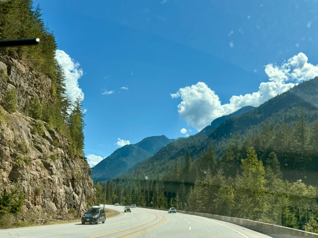
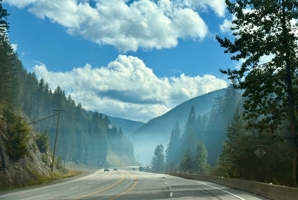
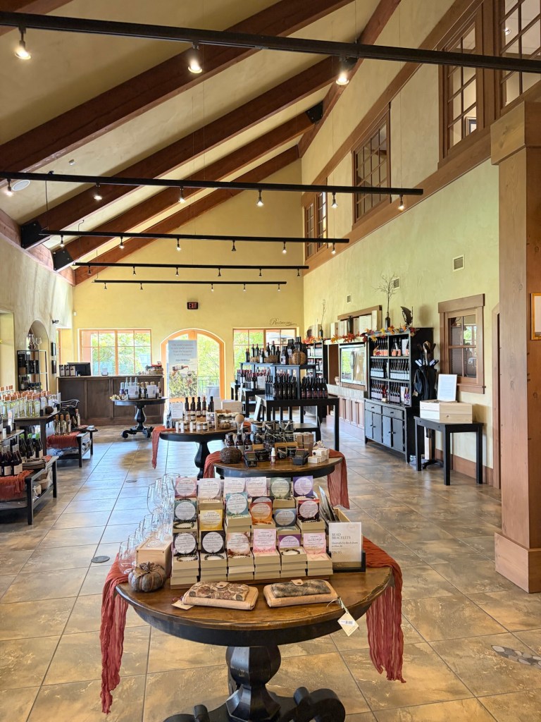
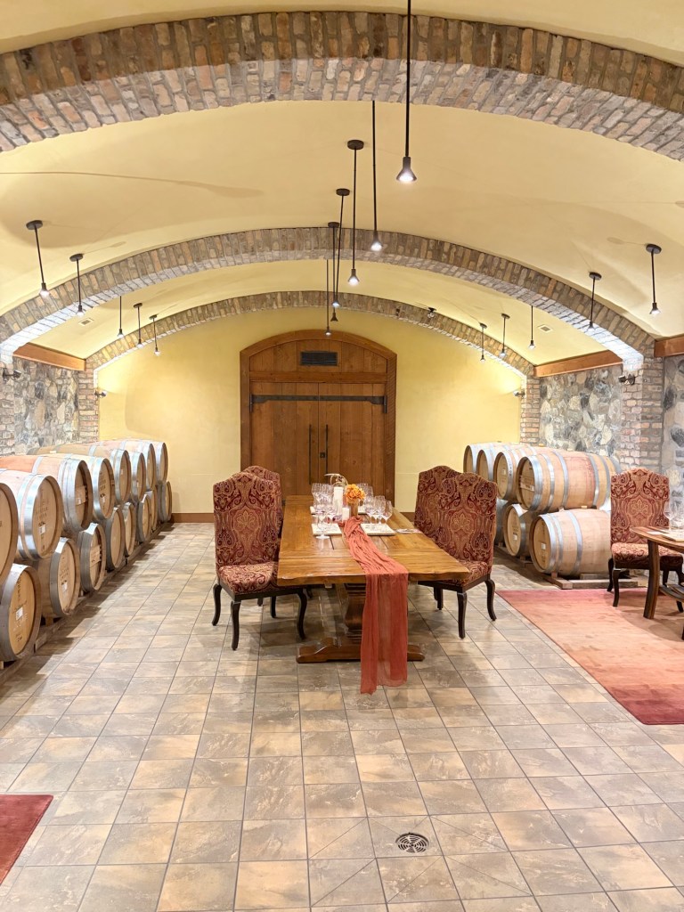
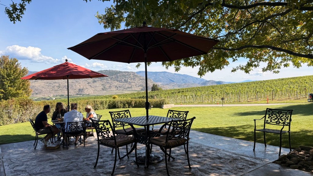
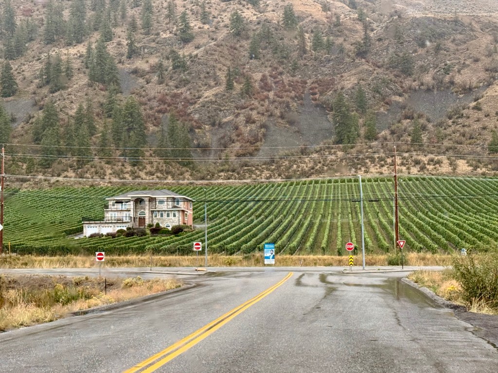
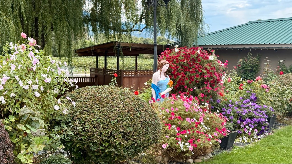
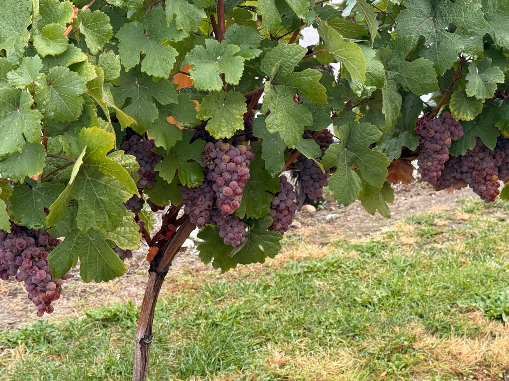
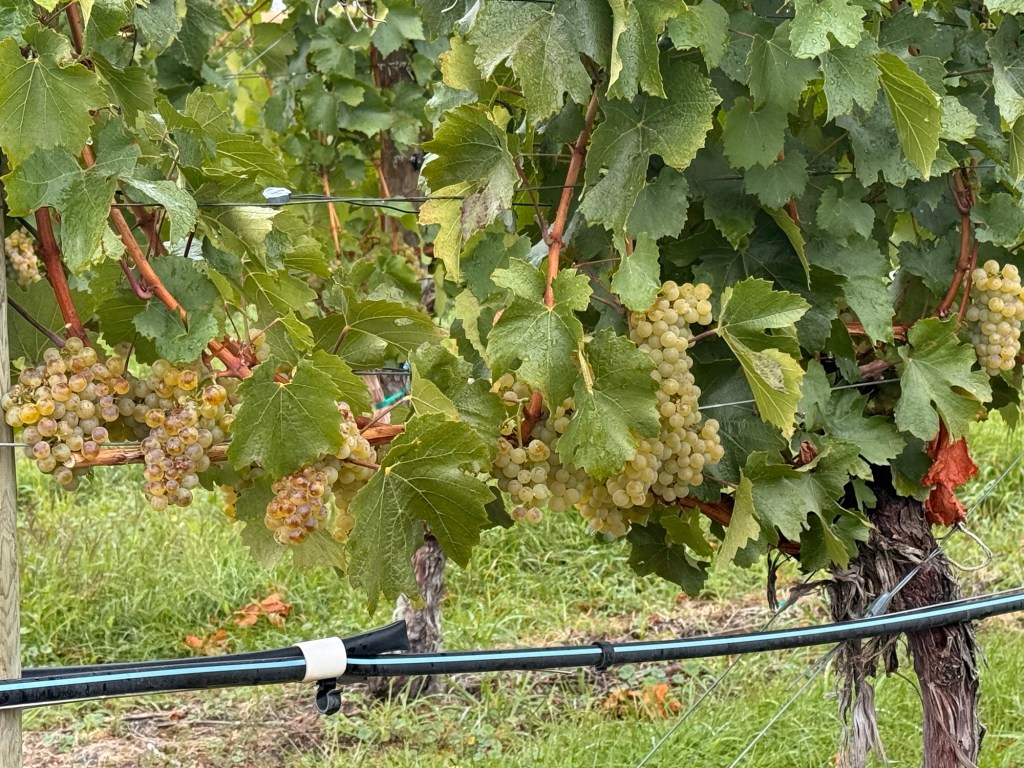
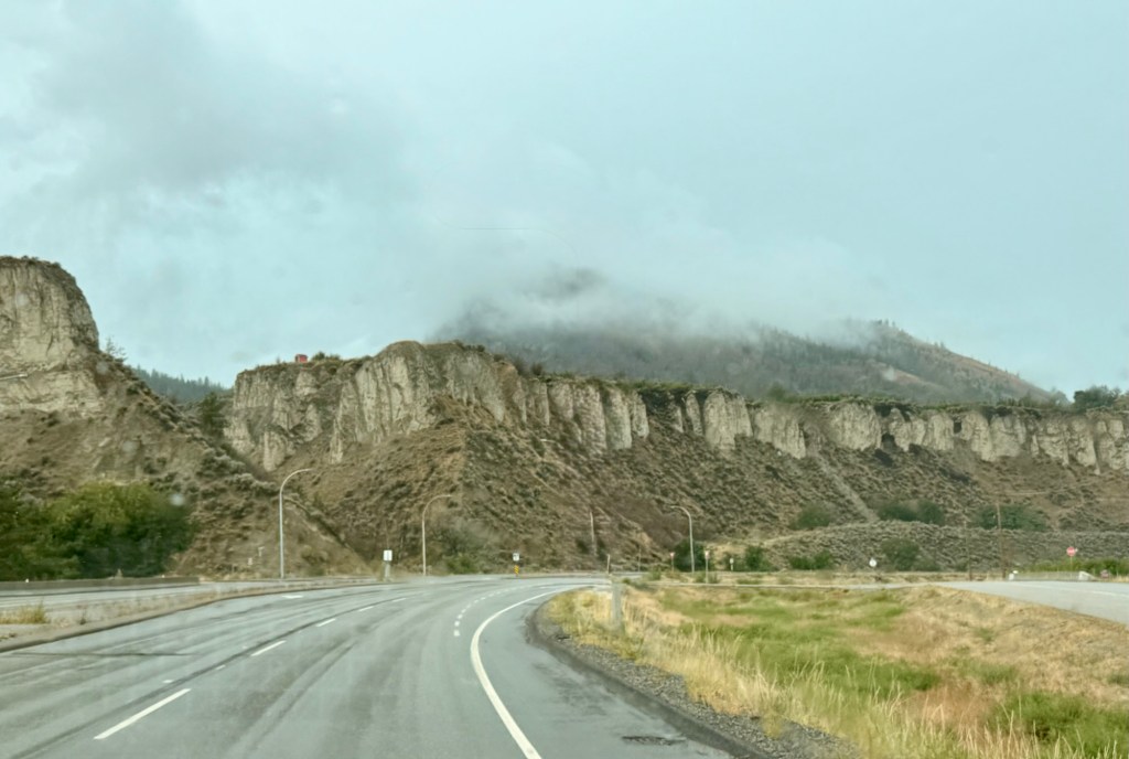
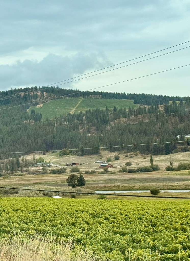
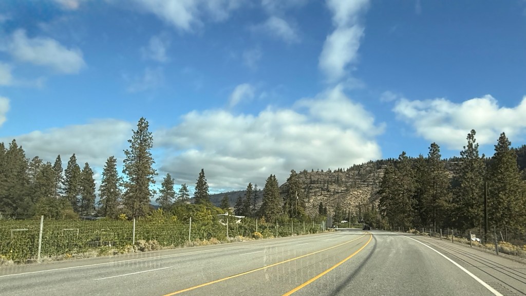
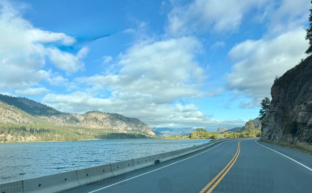
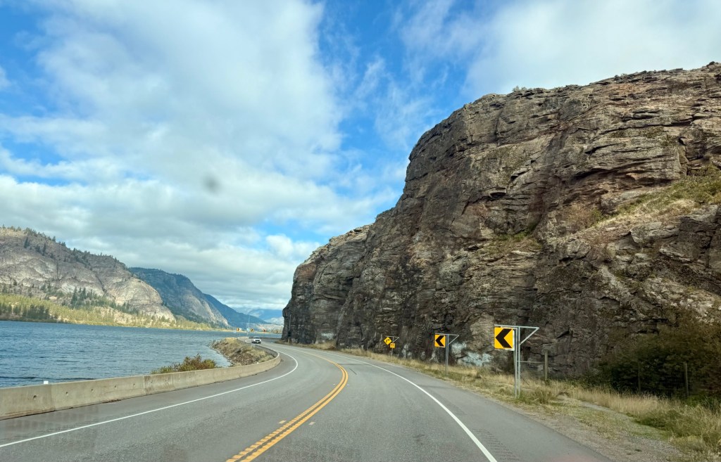
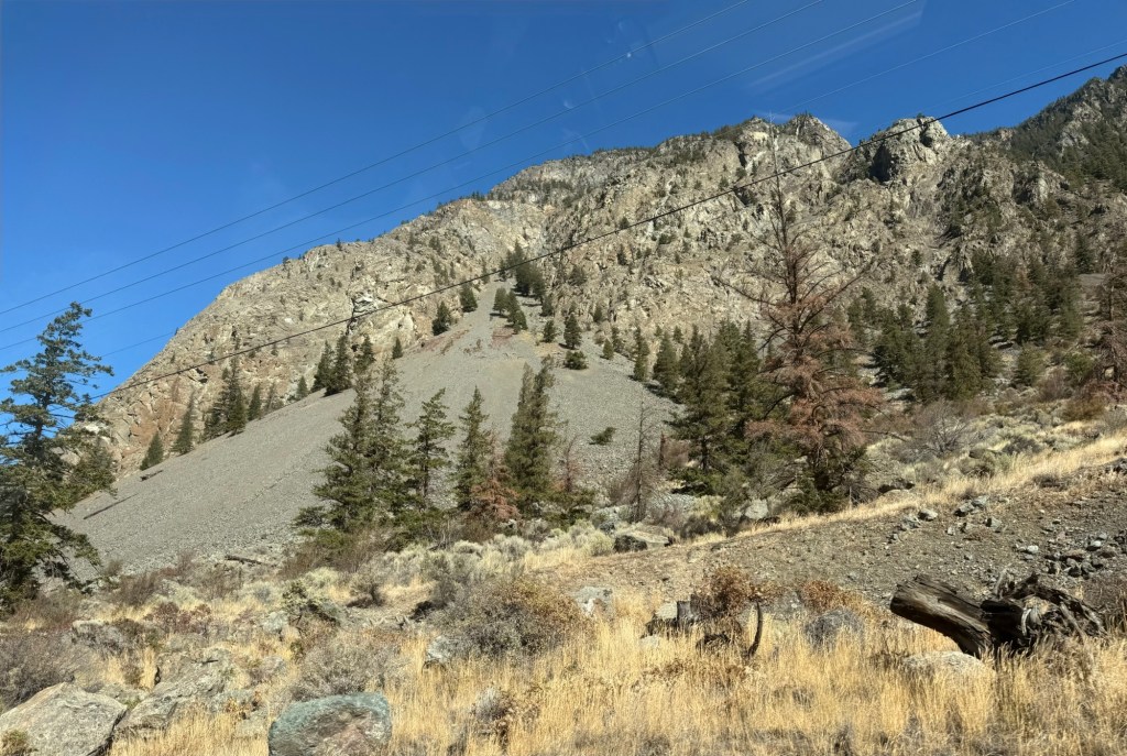
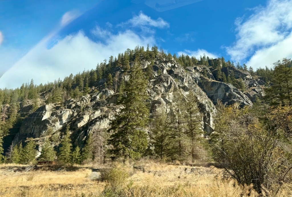
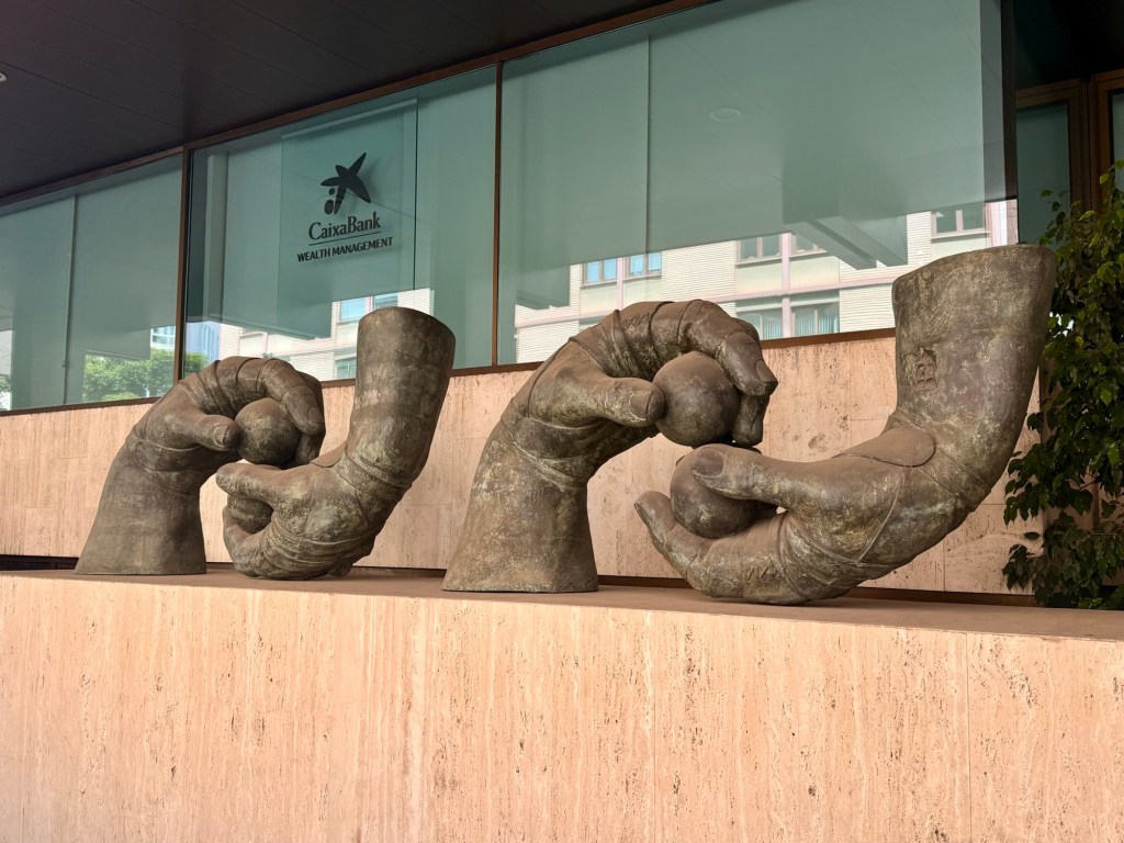
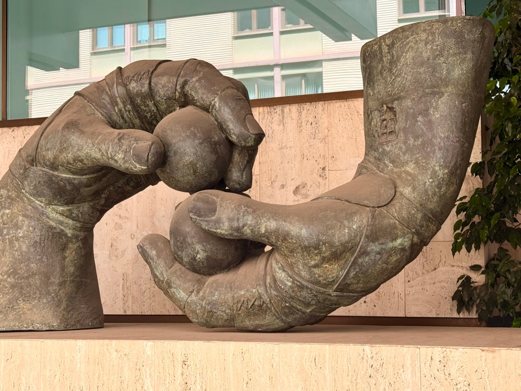
Originally the purpose of going was to attend my company’s retirees reunion in Penticton and so decided to tack on days on either end to explore the wine country with friends.
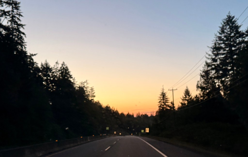
Early morning on the way to the ferry
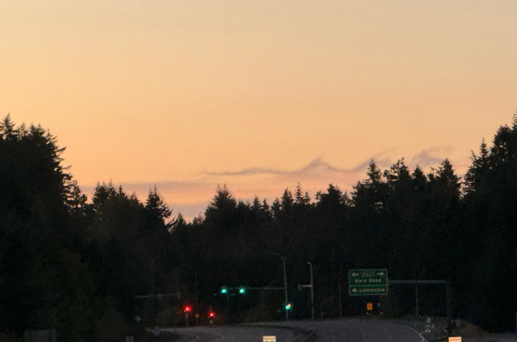
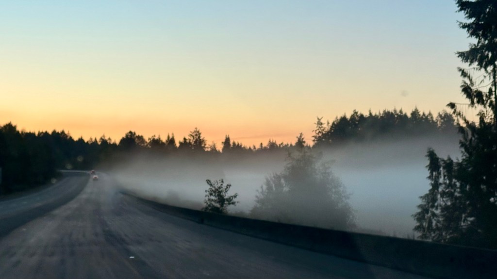
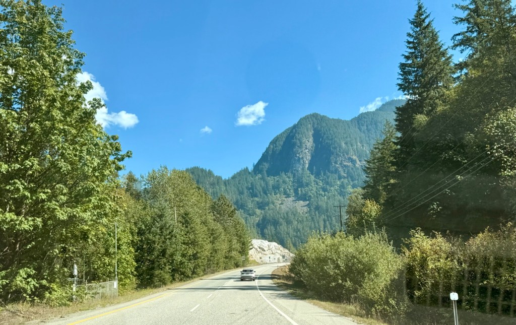
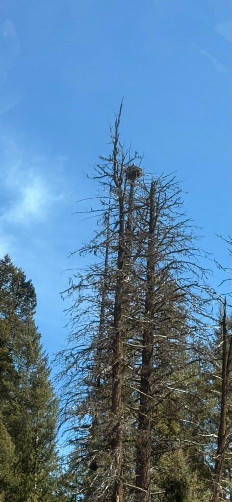
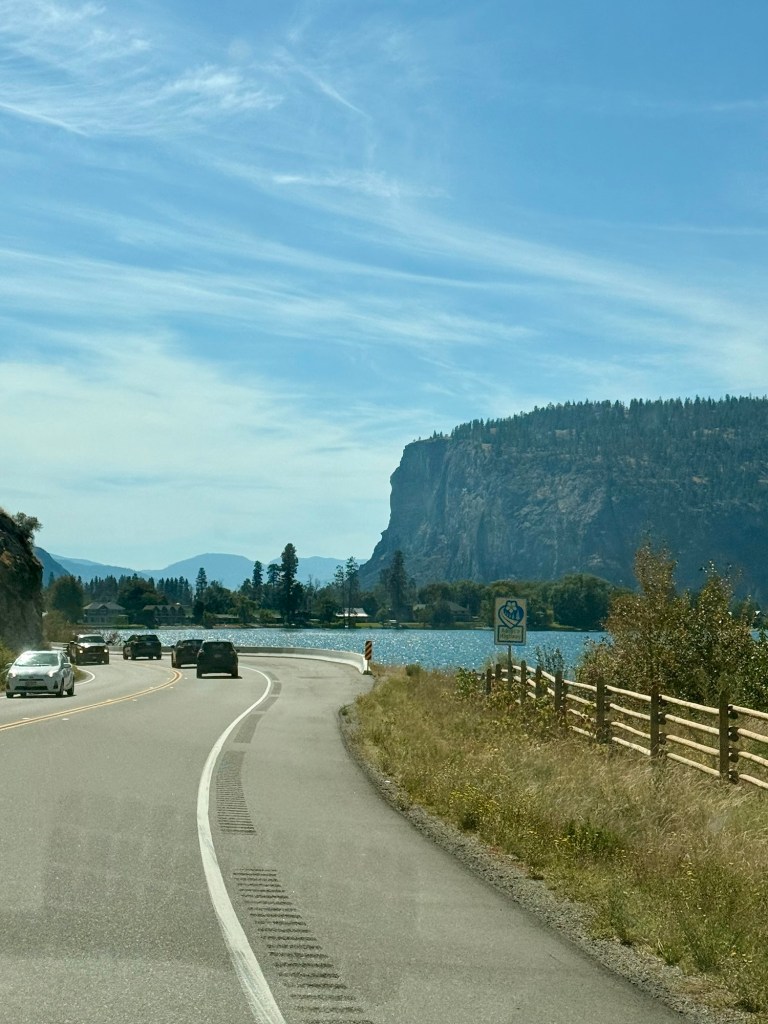
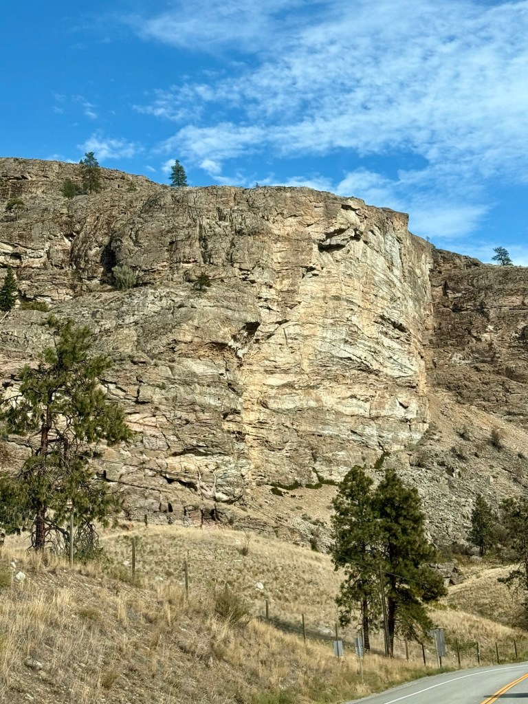
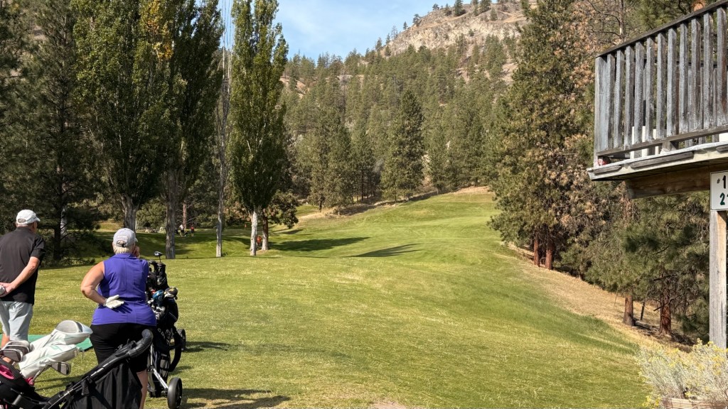
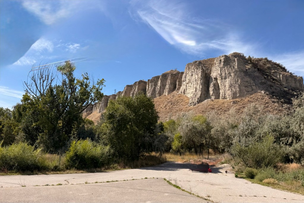
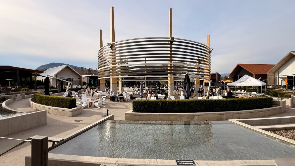
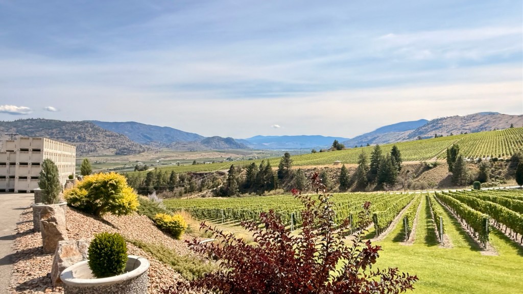
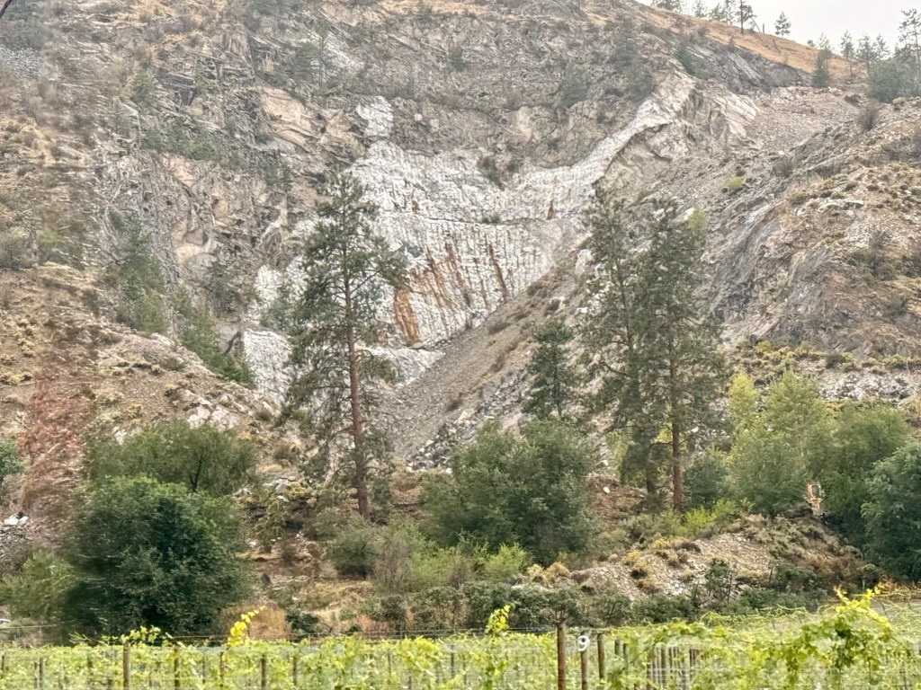
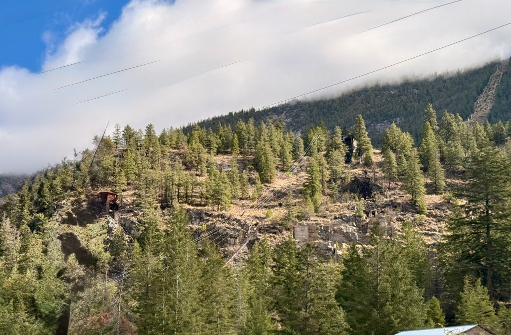
Heading for the ferryThe clouds look like mountain peaks A little fog … it’s going to be a beautiful day for a driveNear HopeManning ParkA wee bit of smoke in Manning ParkEagle’s nest in a barren tree Near Okanagan Falls- close to Gallagher LakeNear Okanagan FallsThe golf course that we had fun playing as part of the reunion. Thank God for an electric golf cart. You have to be part billygoat to walk this courseTypical of the area District Wine Village in Oliver, the surprise venue where everyone was bussed to for dinner as part of our reunion
The District Wine Village is where 16 new wineries show off their products (tastings), all in one location. They get to use the communal machinery to produce their products on site with room for 2-2500 cases each per year.
The balance of our time was spent checking out wineries in the area and visiting with friends that just recently moved to Oliver.
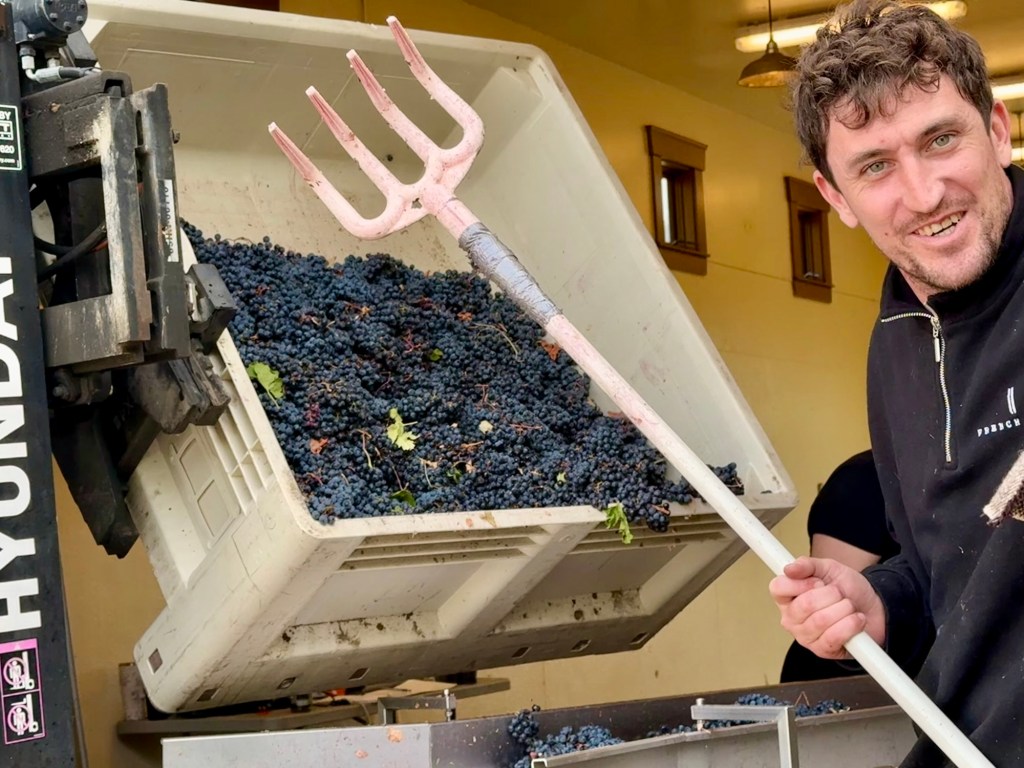
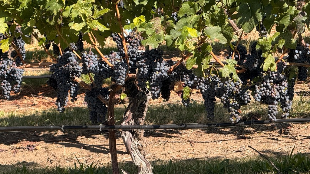
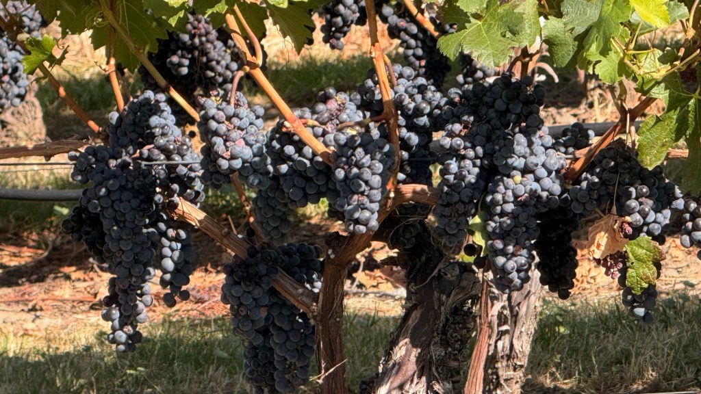
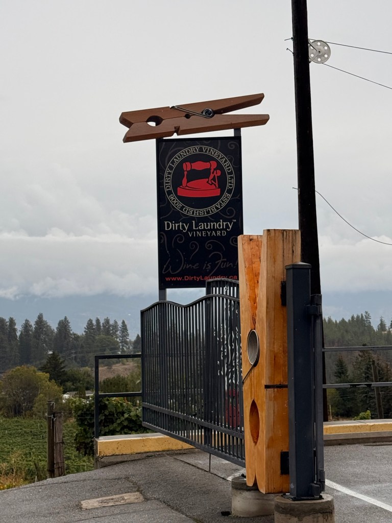
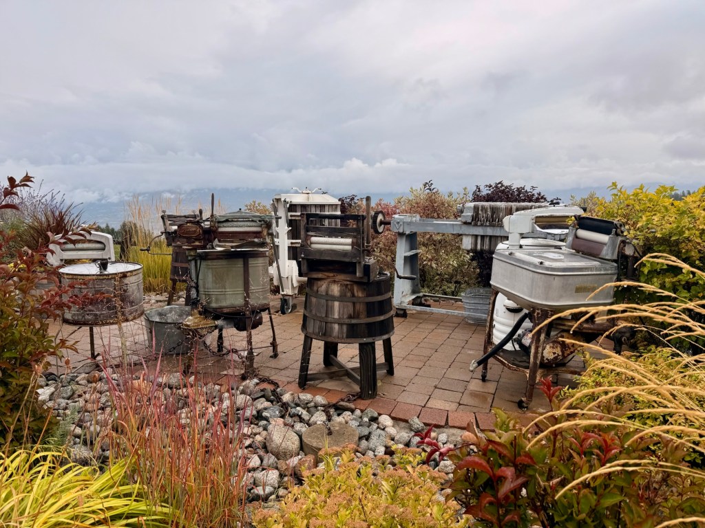
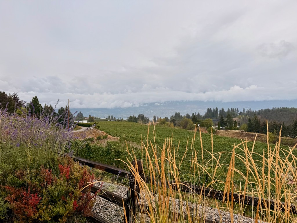
Bringing in the Merlot grapes for processing at La Stella Hester Creek WinerySeen along the roadBlack Sage WineryDirty Laundry WineryMore Penticton hills
Back to where we got off on day 1 of the Hop-on bus, went for the 2nd day on the bus, then we walked back to where we were staying.
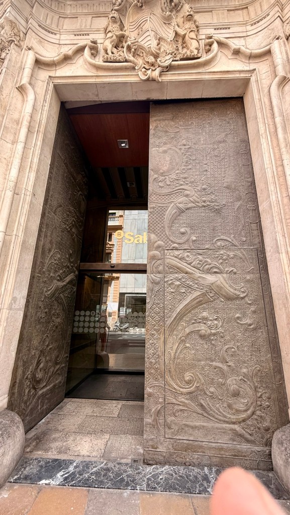
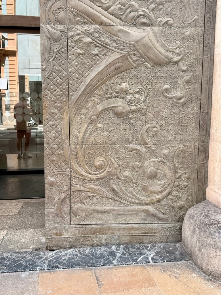
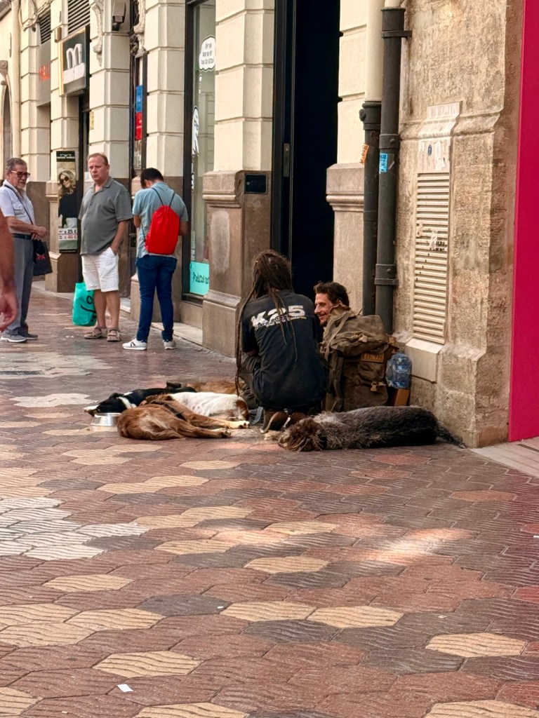
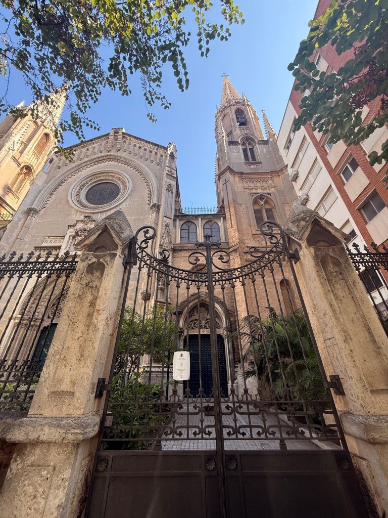
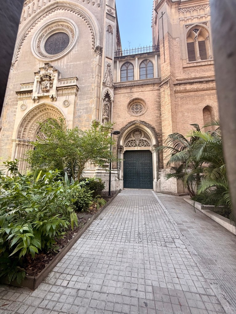
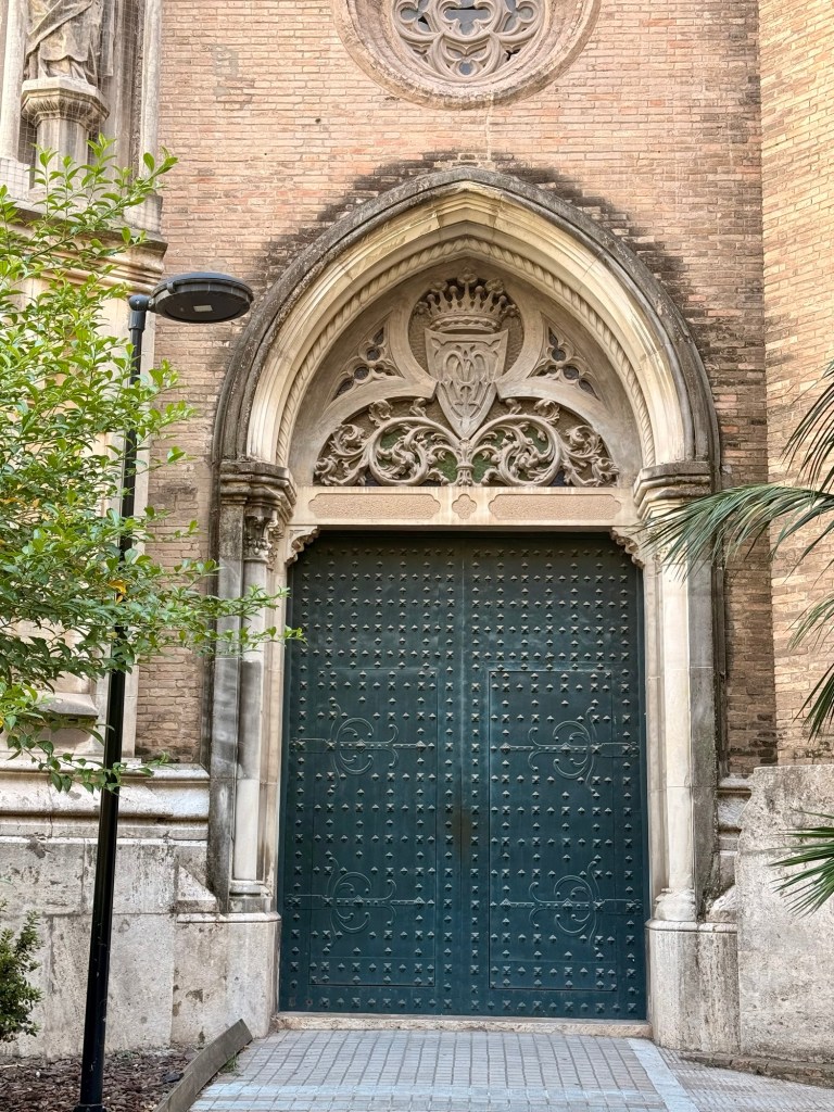
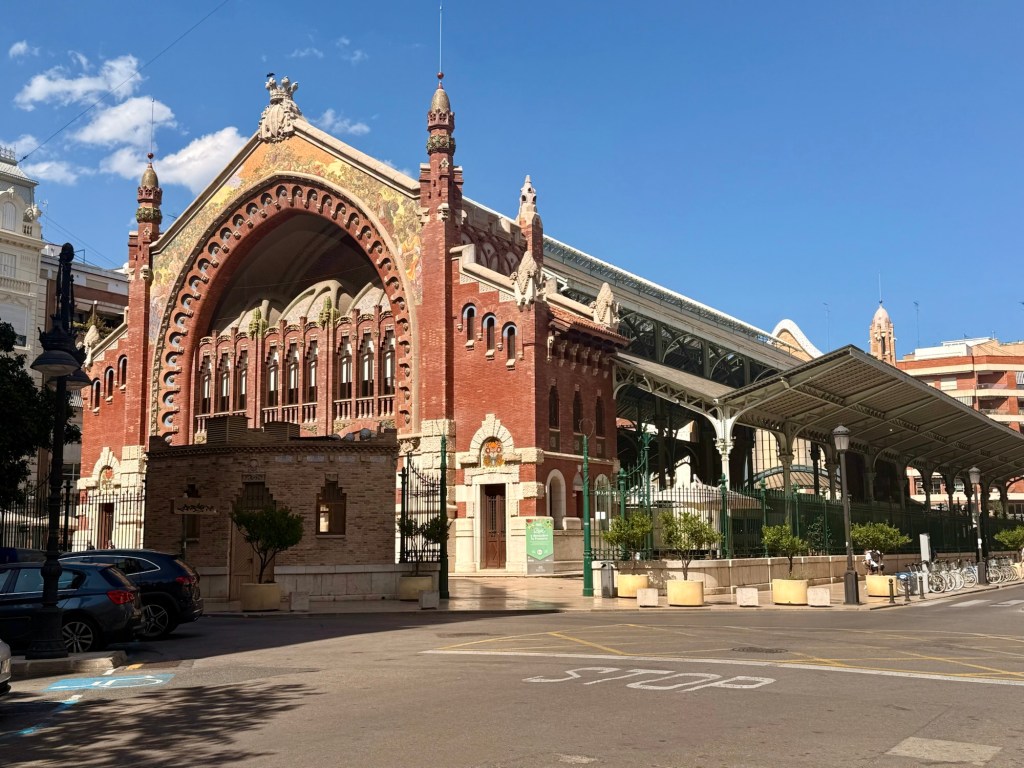
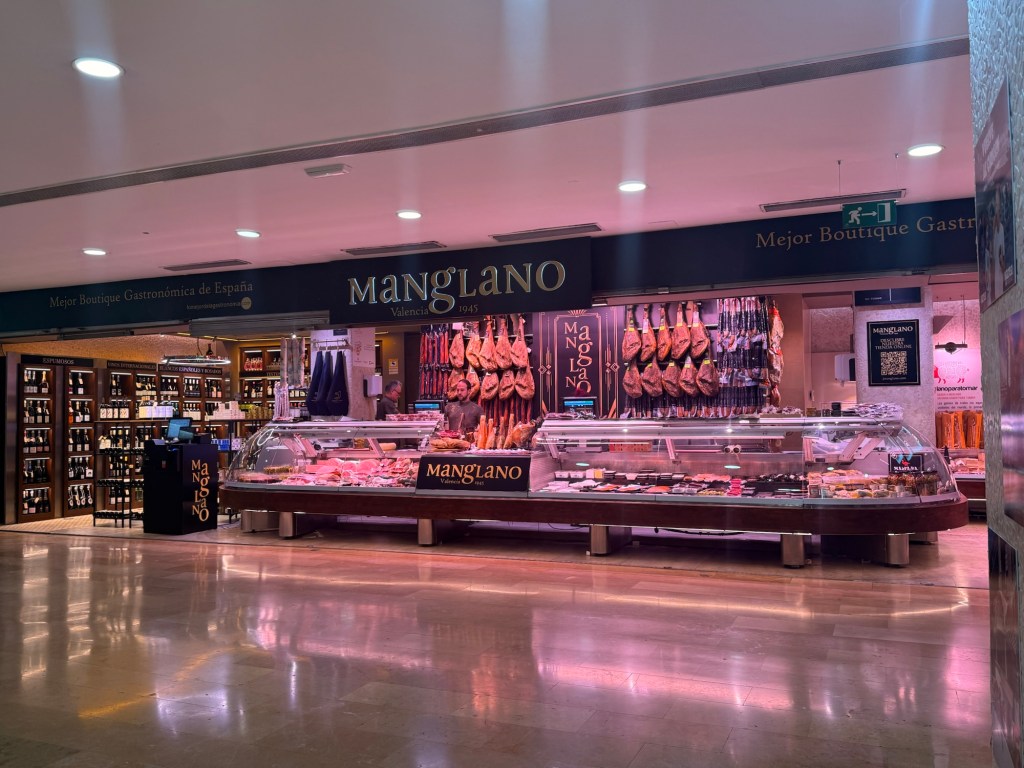
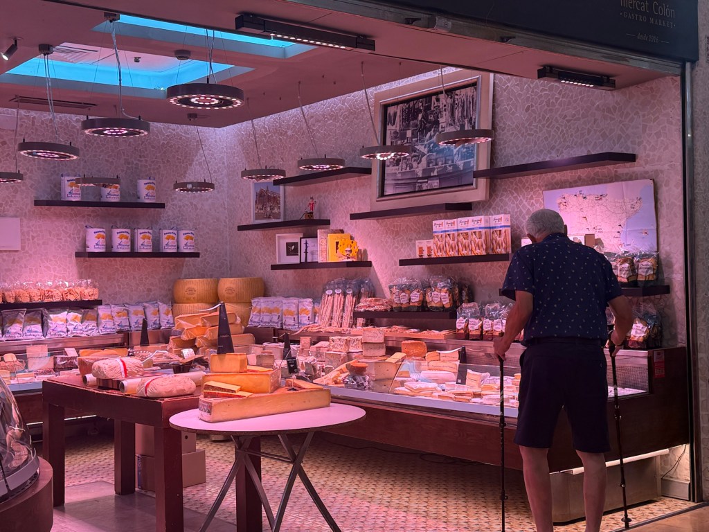
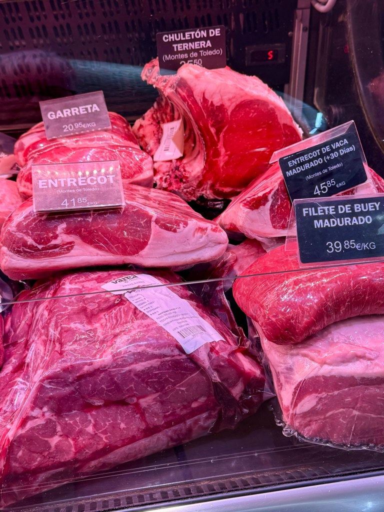
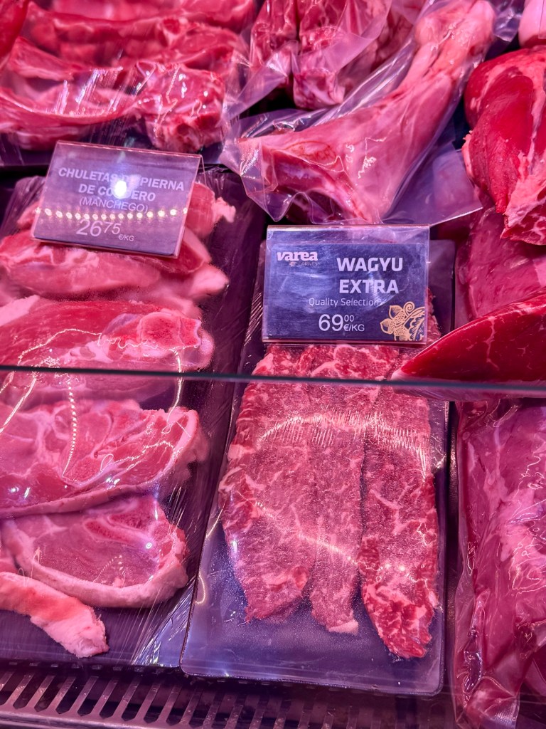
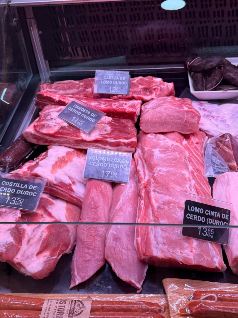
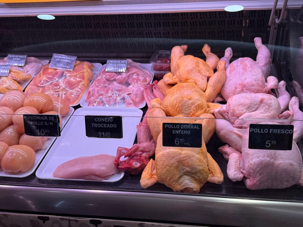
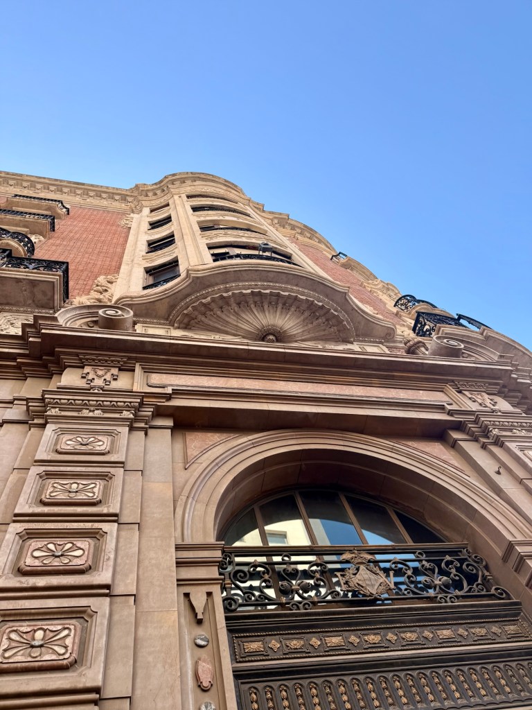
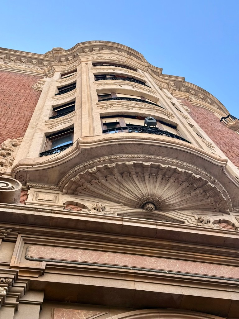
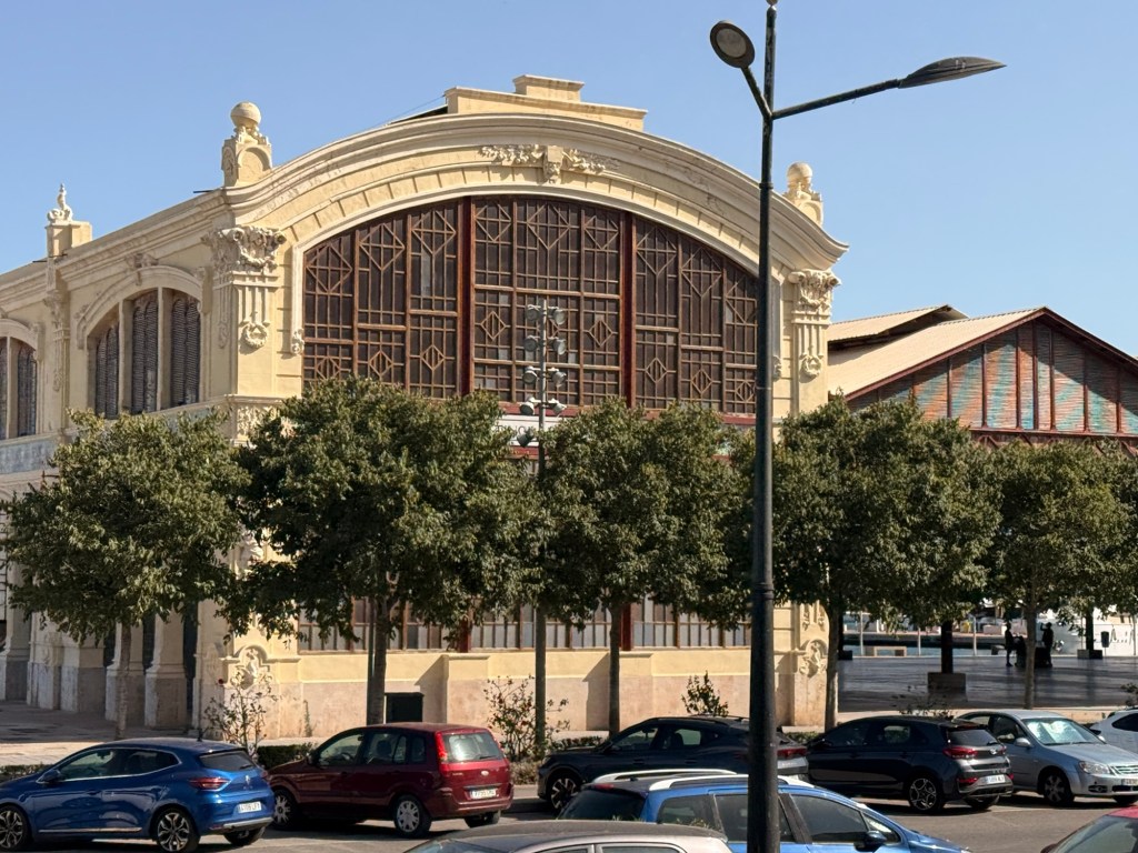
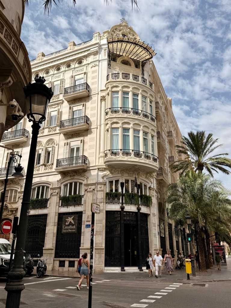
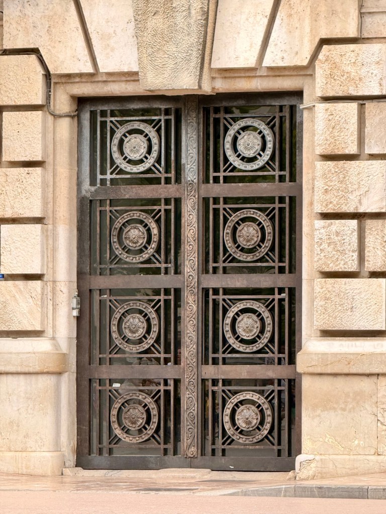
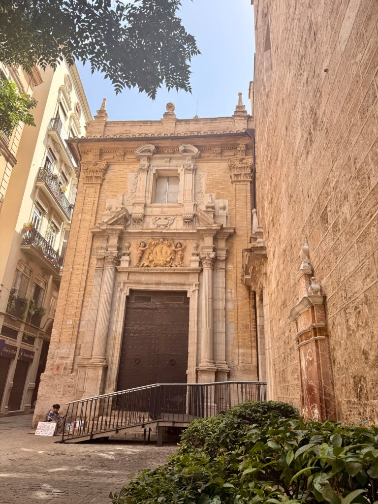
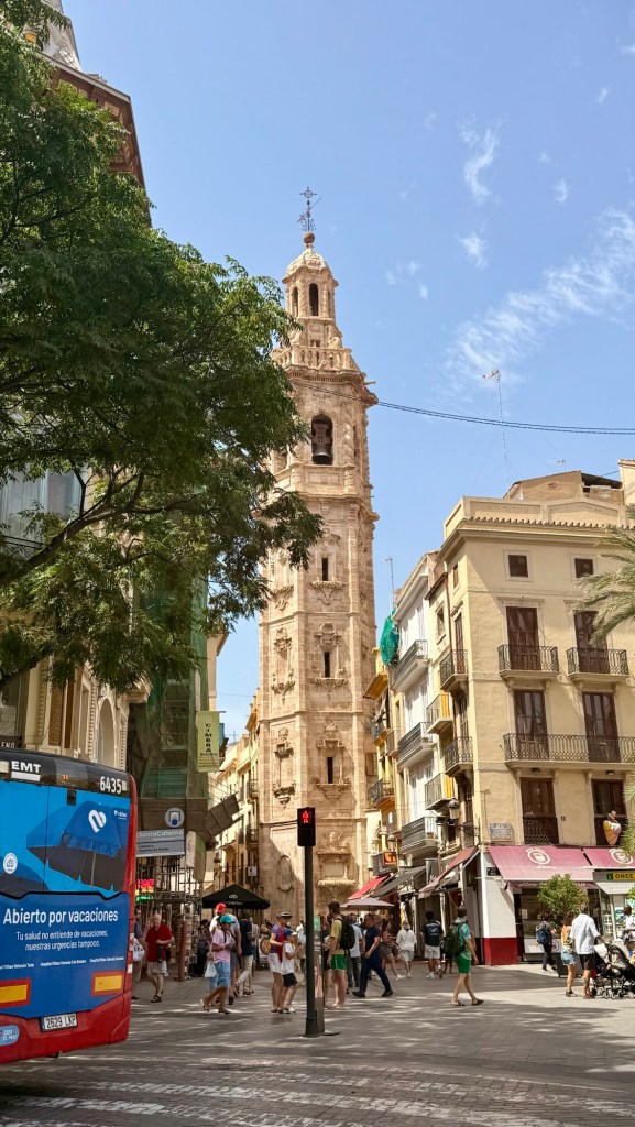
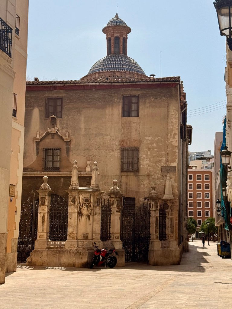
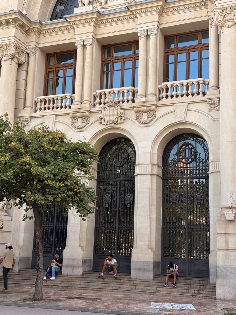
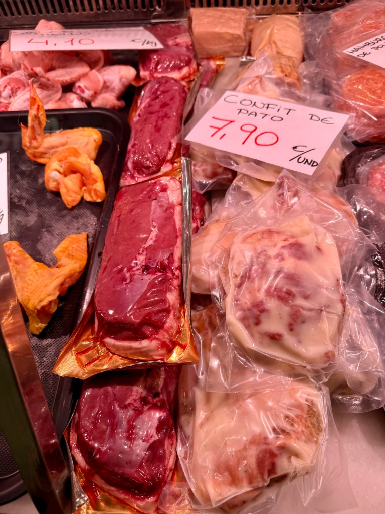
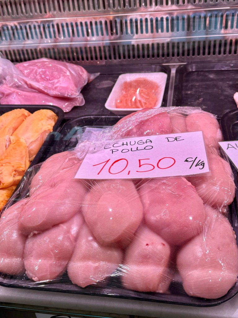
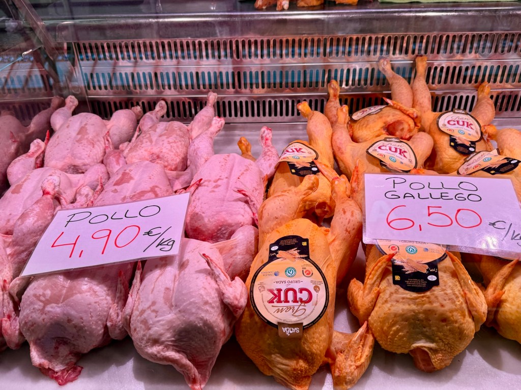
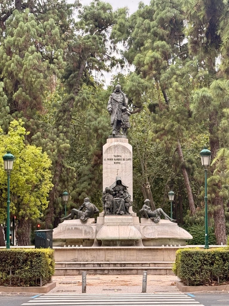
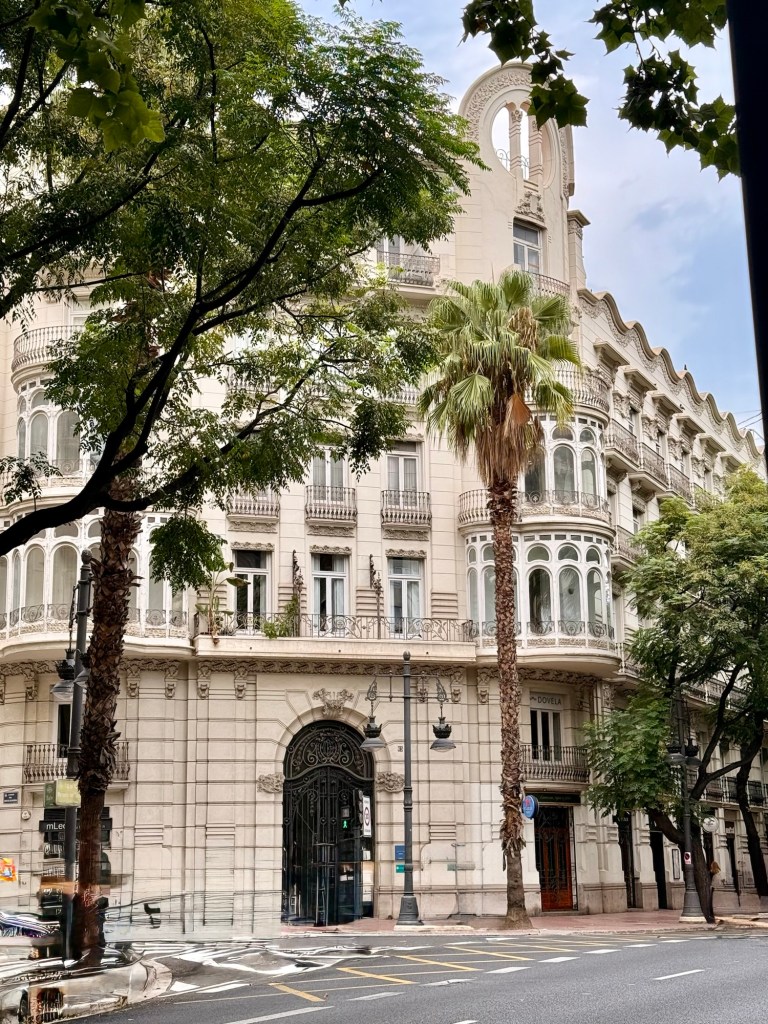
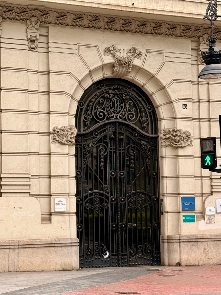
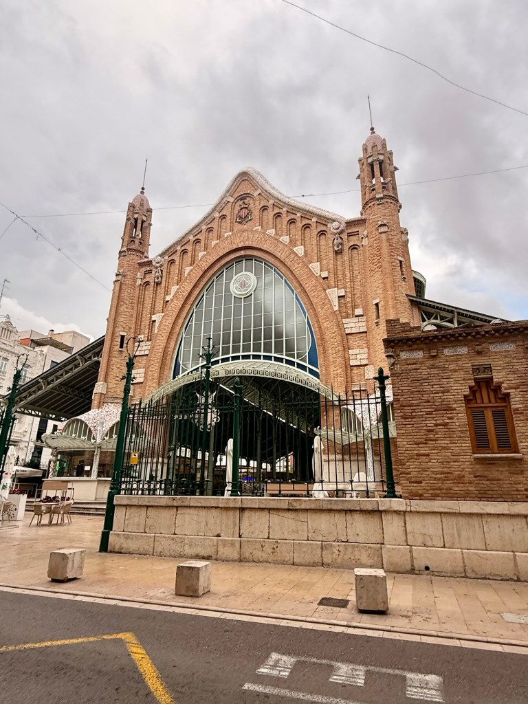
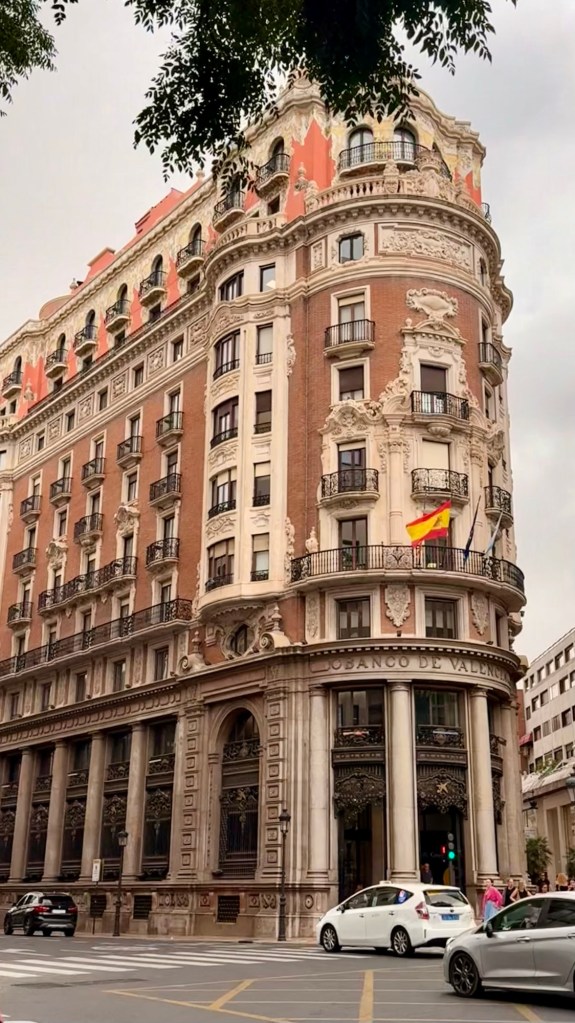
Beautiful doors at the Banco de ValenciaThis was an investment businessPassing money to another ???Two of the very few homeless druggies seen… (along with their dogs, of course).Gorgeous old church With its entranceClose up detailsMercat ColomIn this basement of the MercatLots of selection of cheeses Notice the price difference of the yellow (corn fed) and white chickens. All prices are in Euros/ kilogramLast 8 pictures are at the Mercat Colom…Aug 24
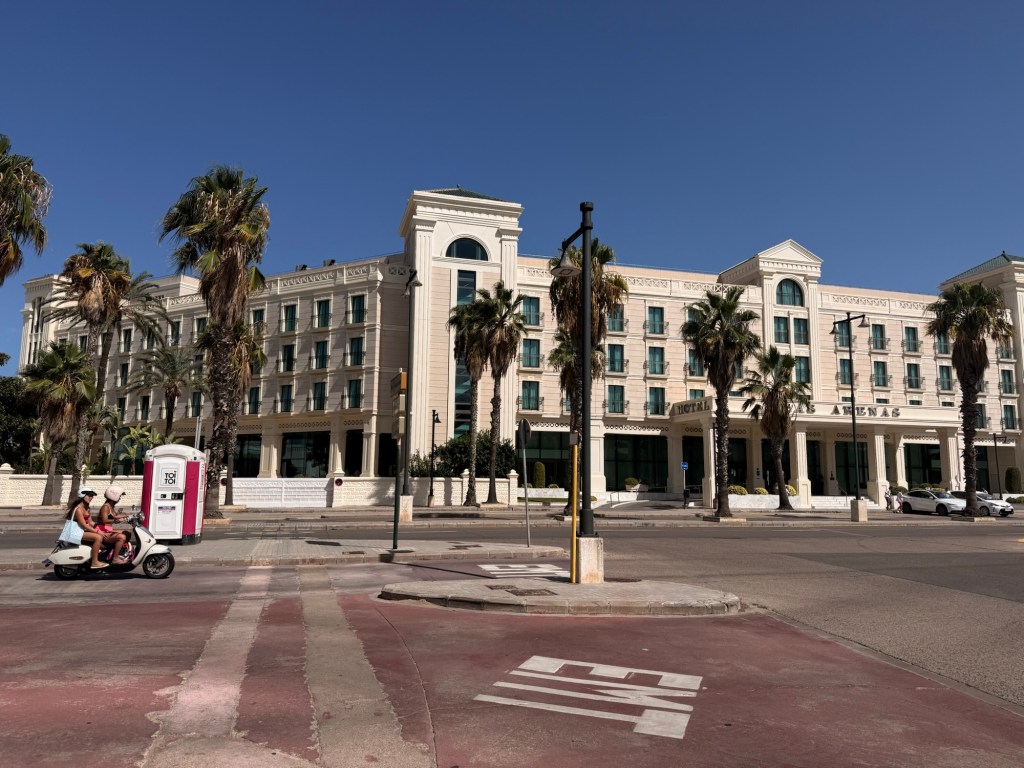
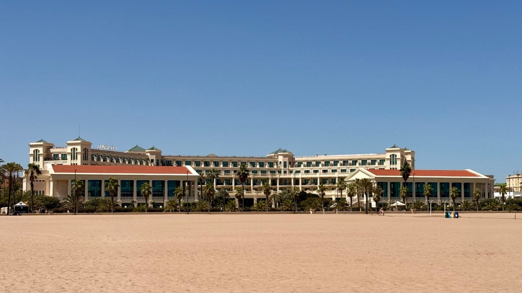
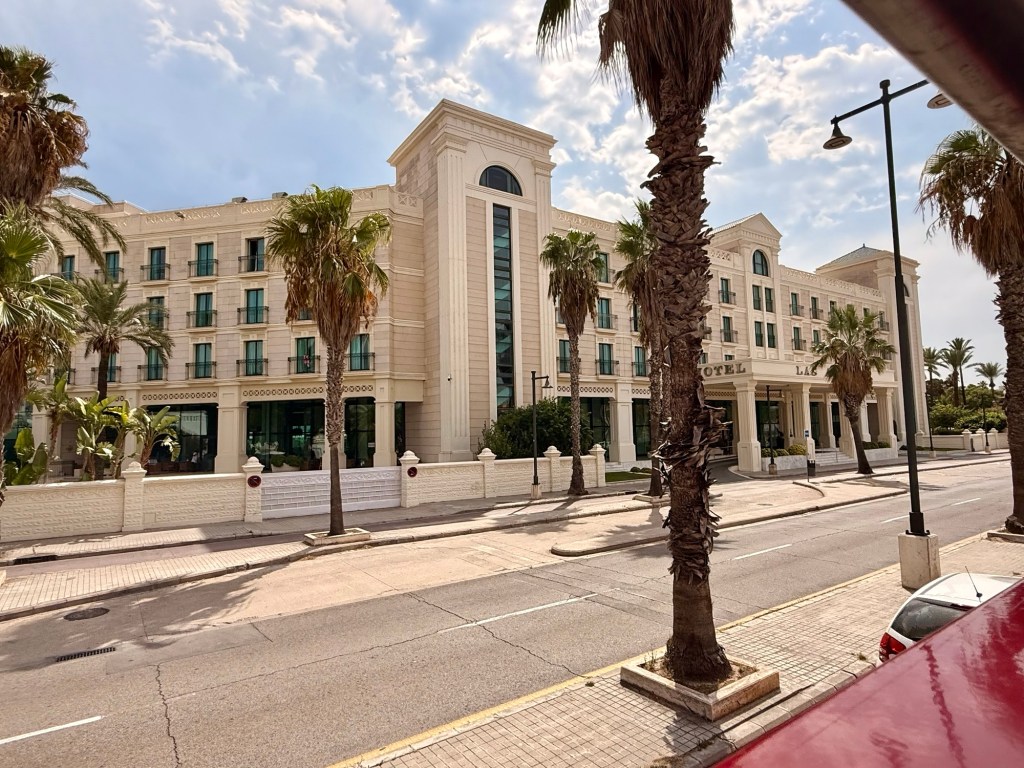
The 2nd day (Aug 25th)on Hop-on bus, we went to the Las Arenas Playa and the absolutely gorgeous hotel by the same name. Had to check out the possibilities of returning….
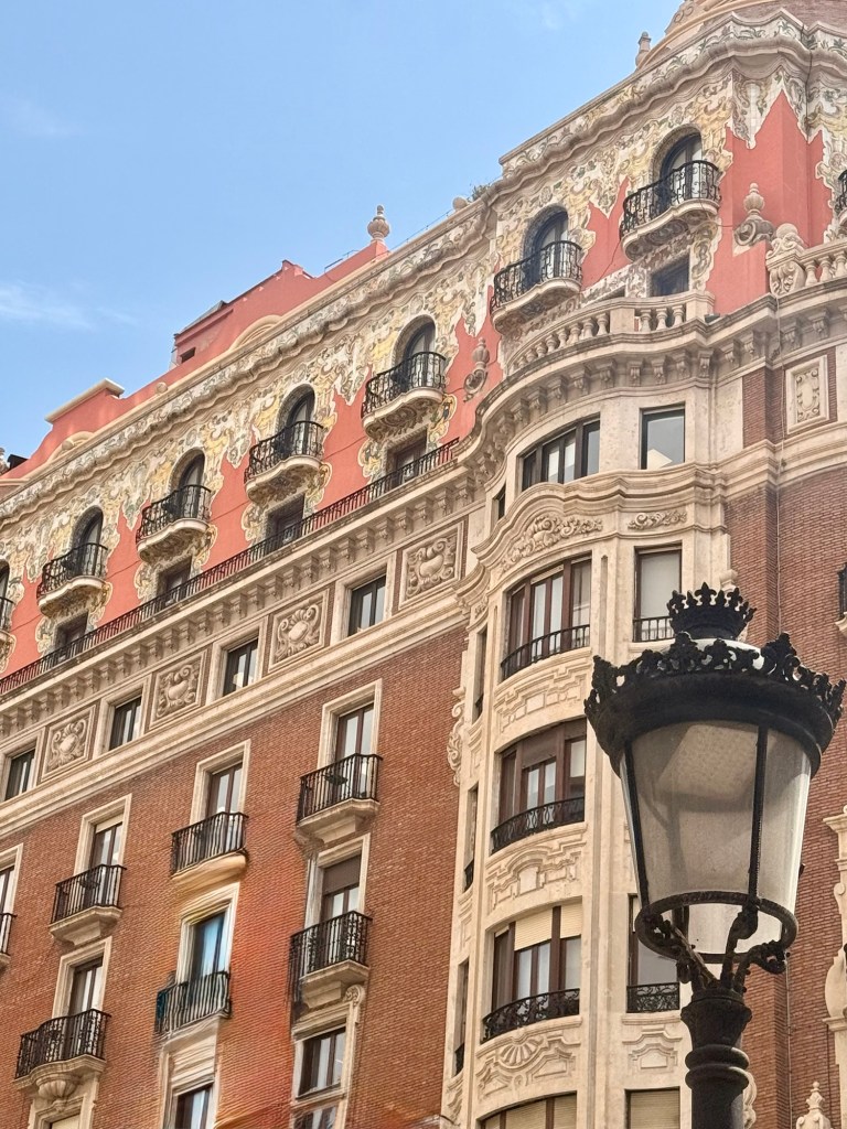
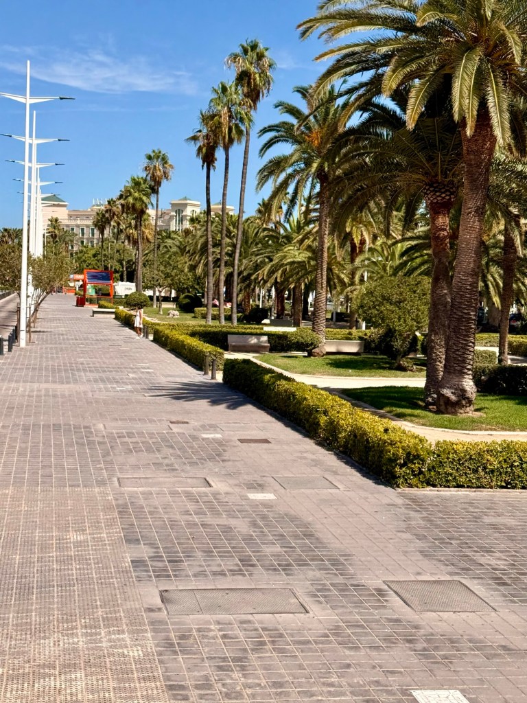
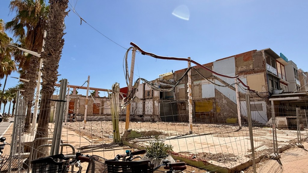
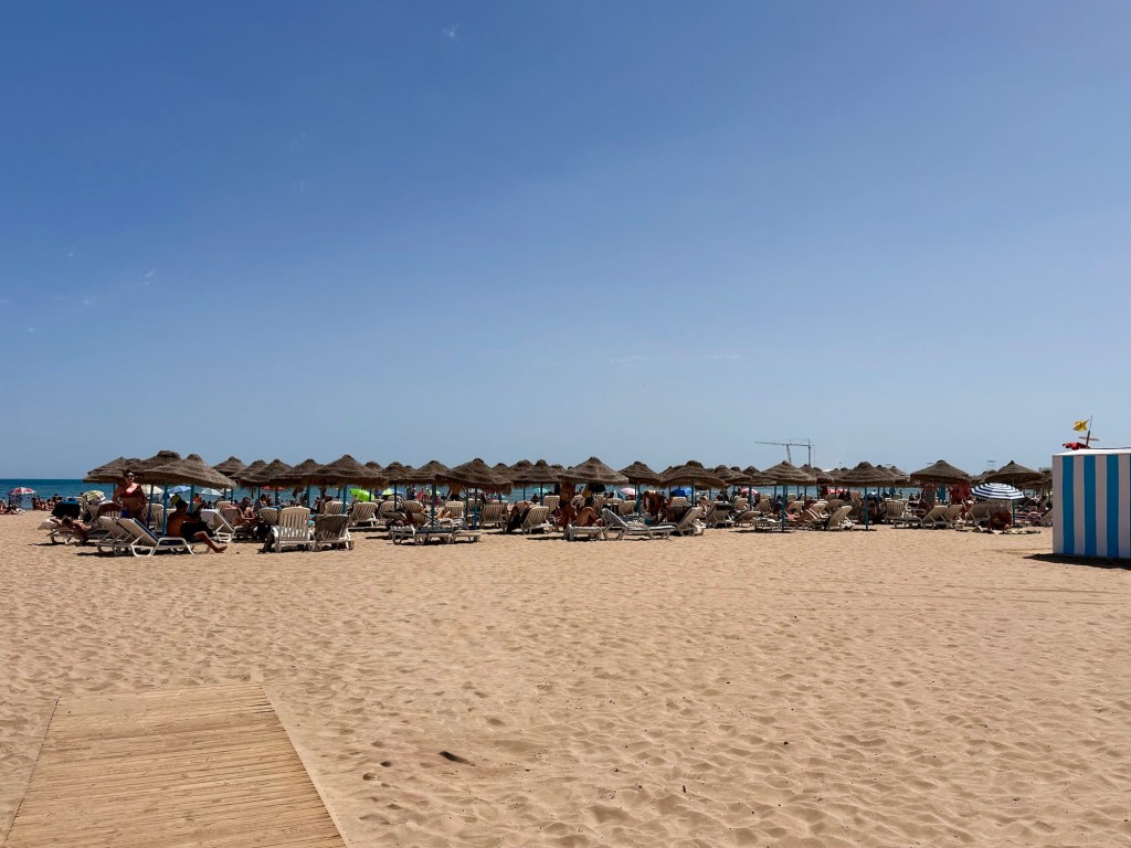
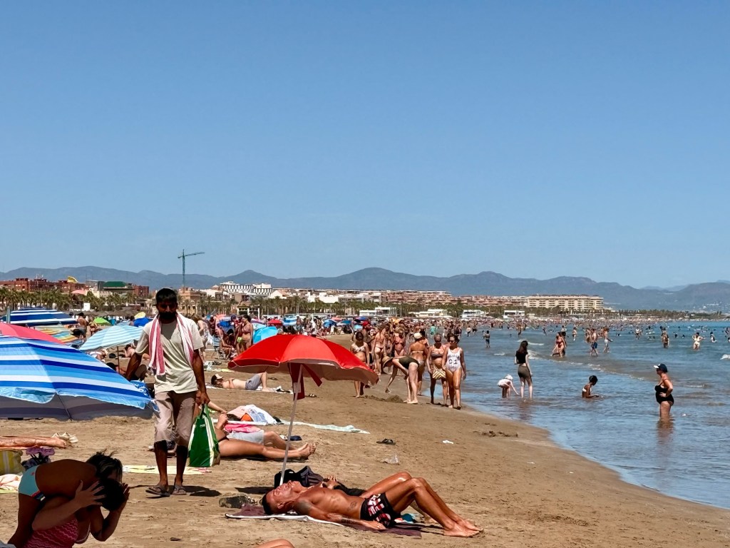
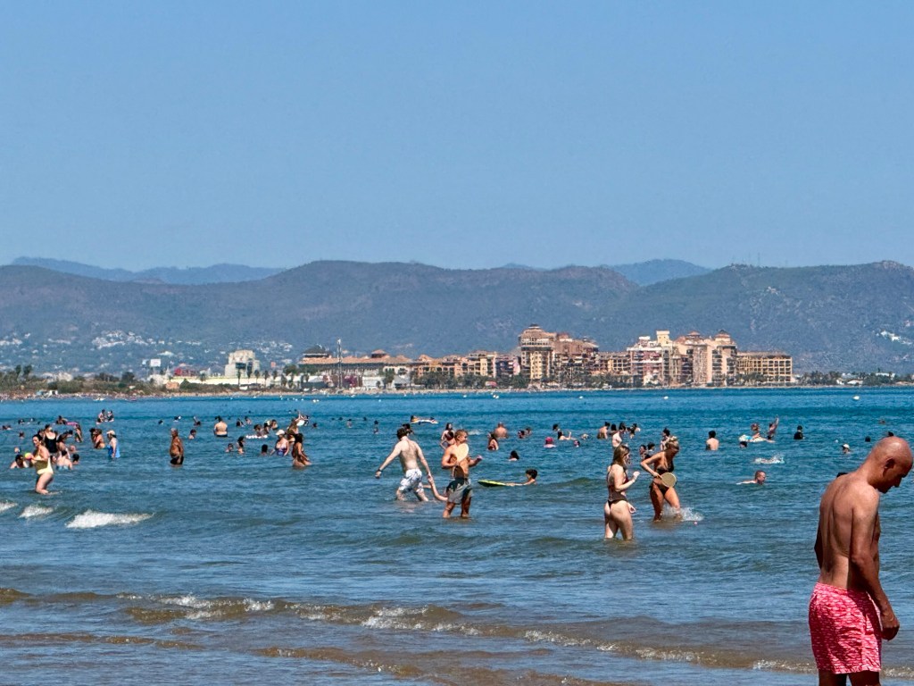
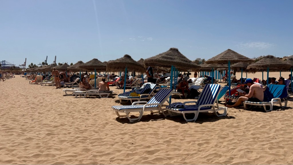
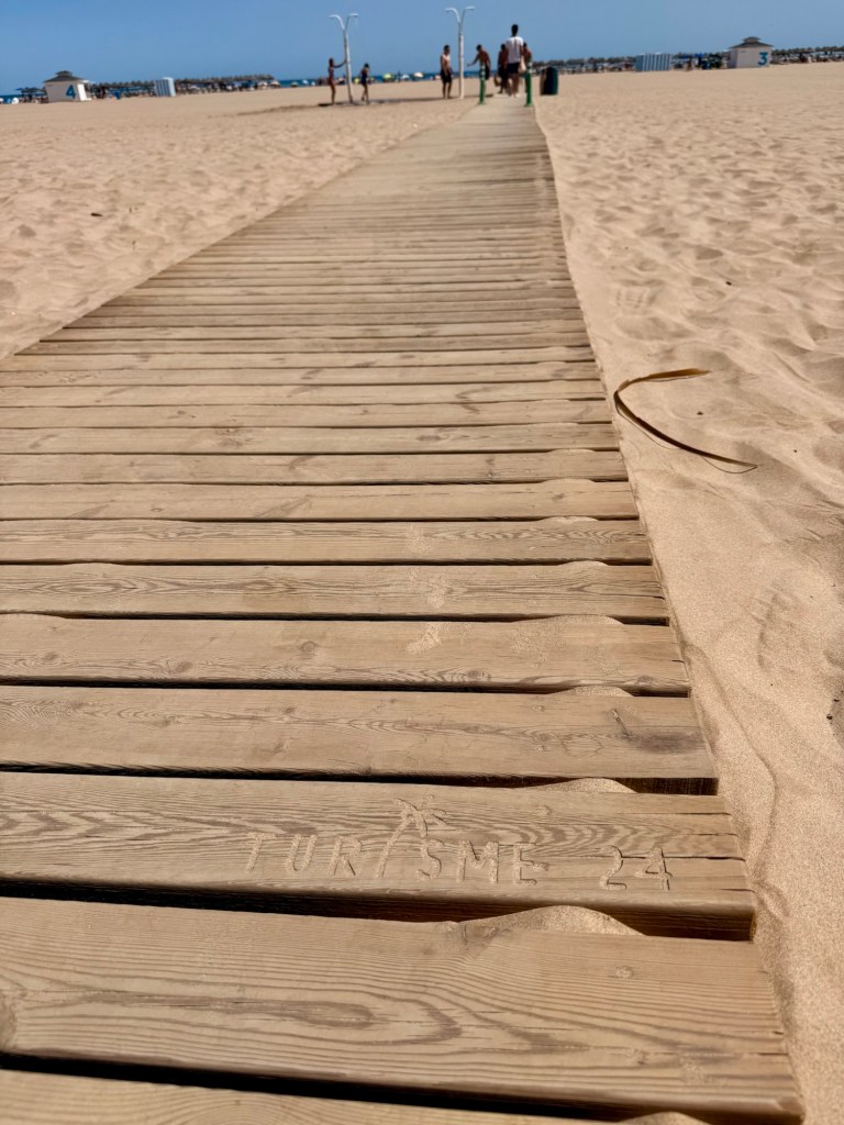
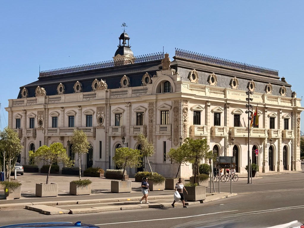
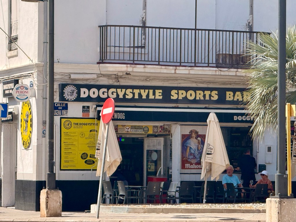
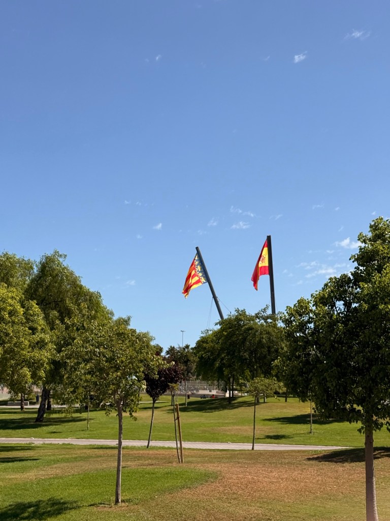
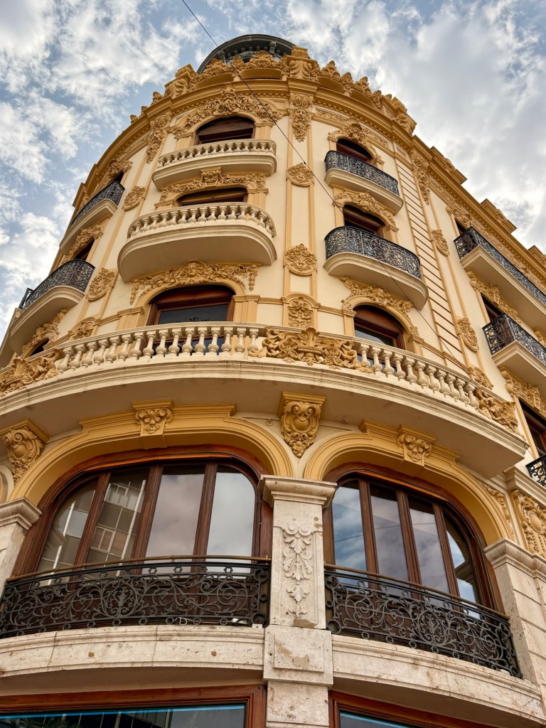
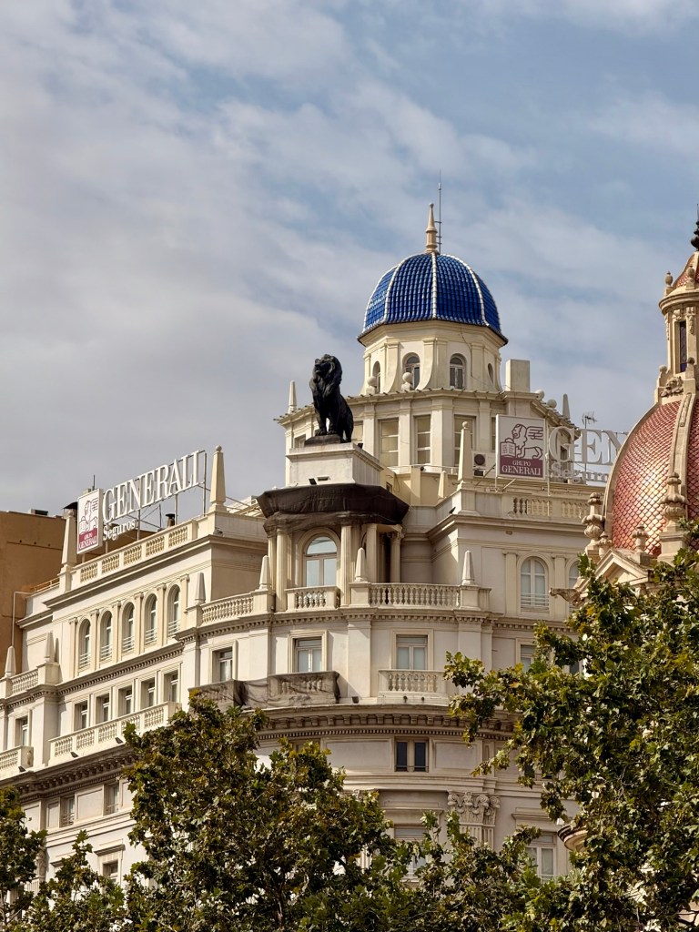
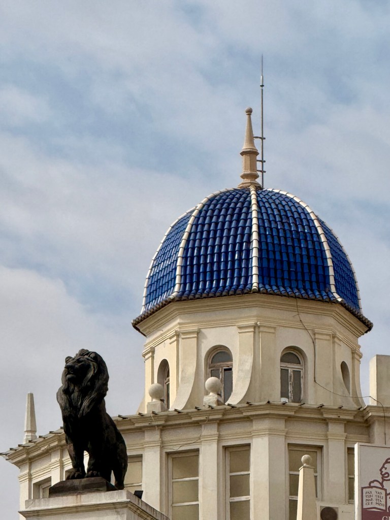
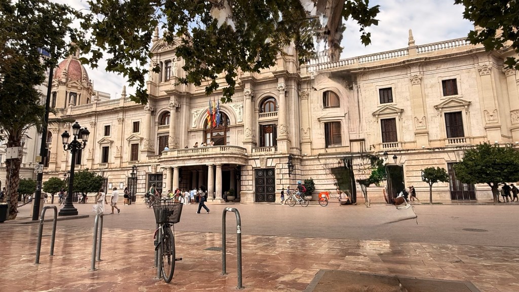
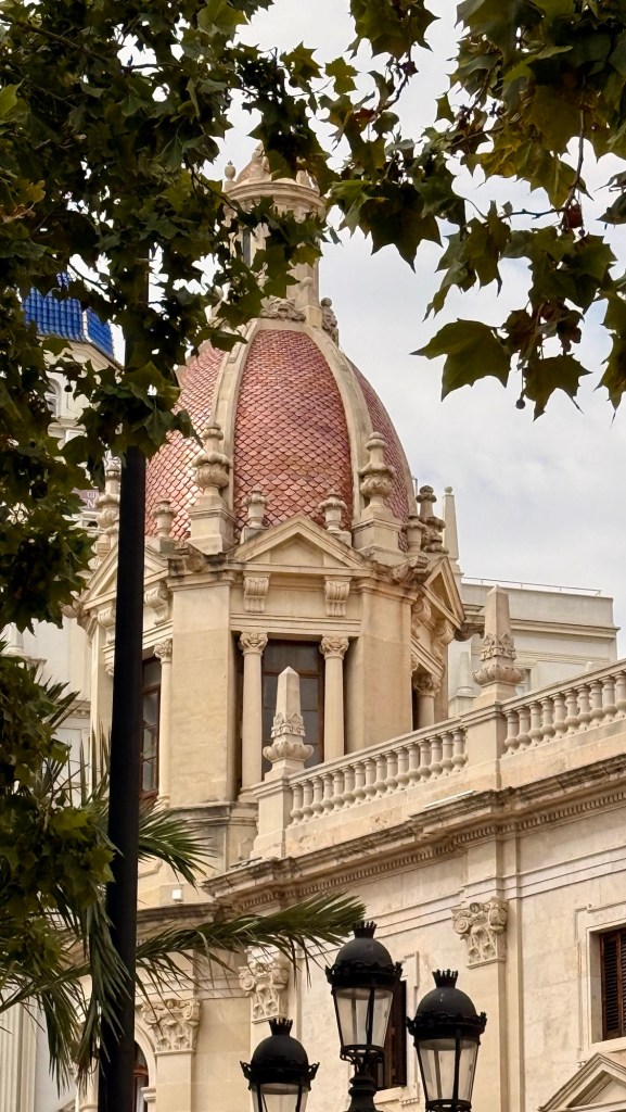
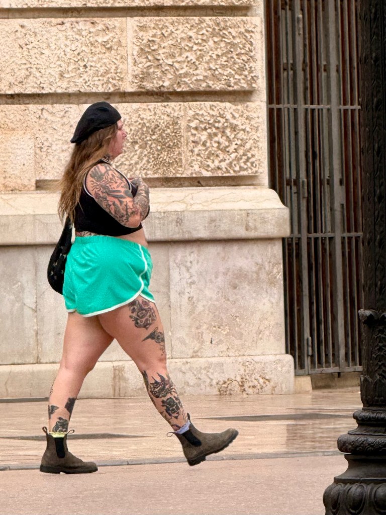
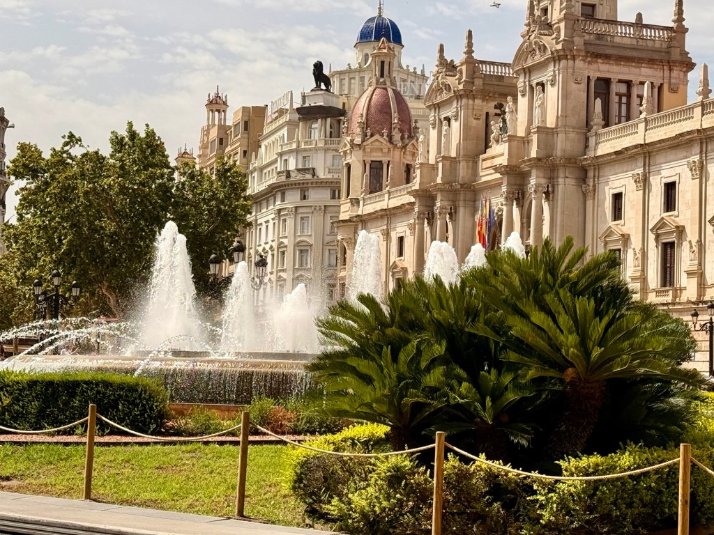
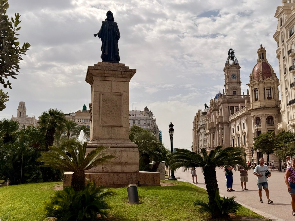
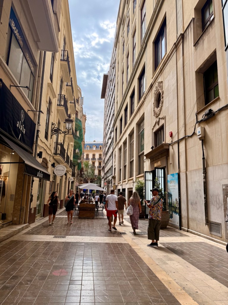
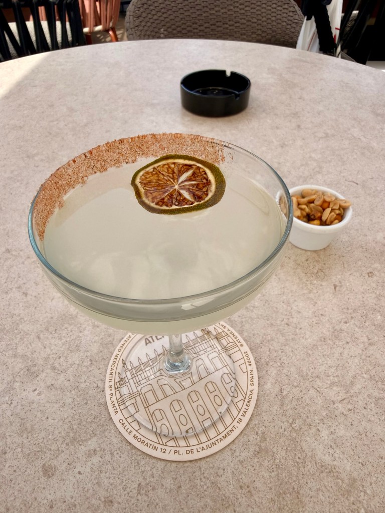
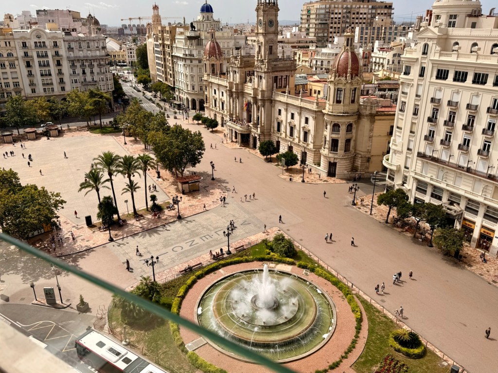
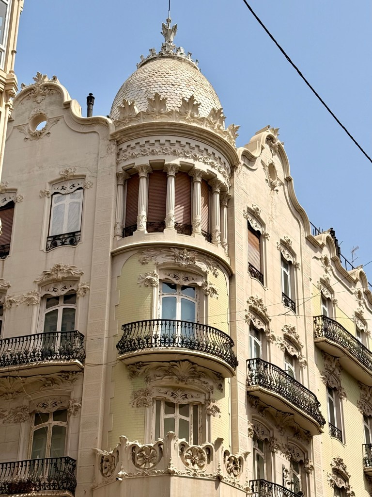
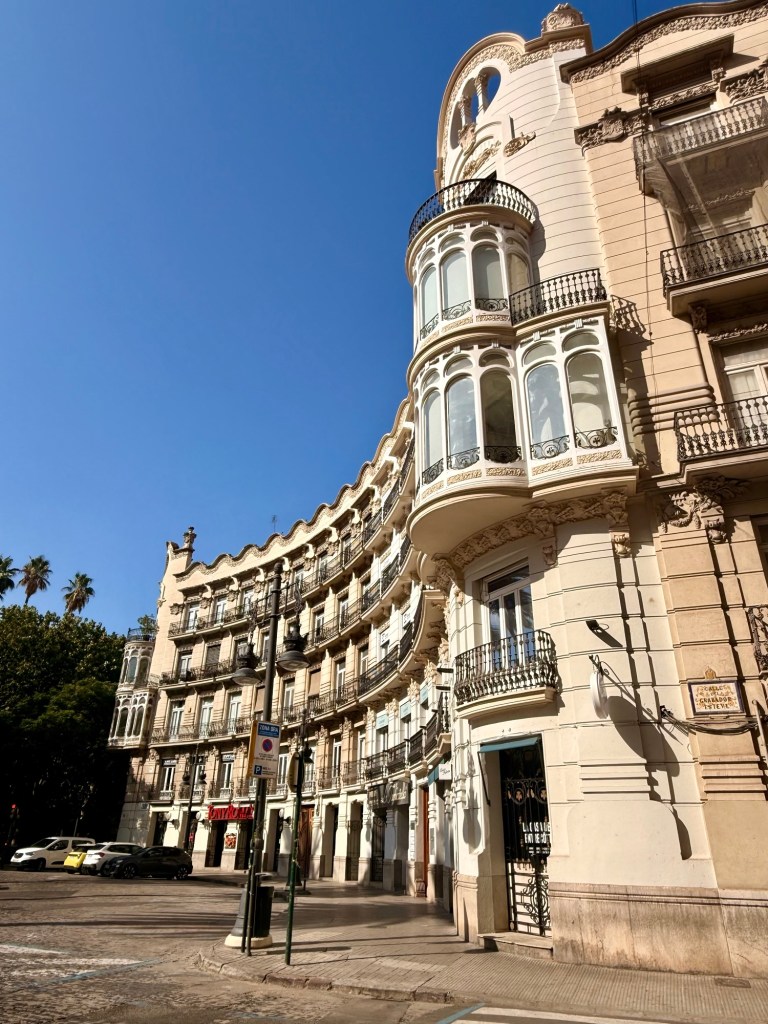
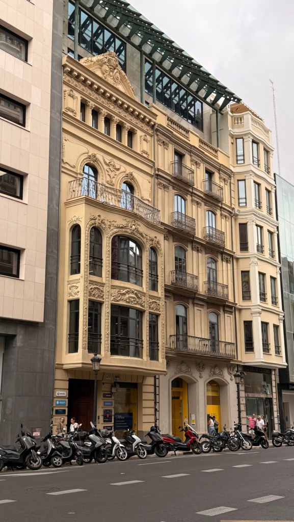
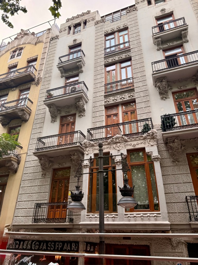
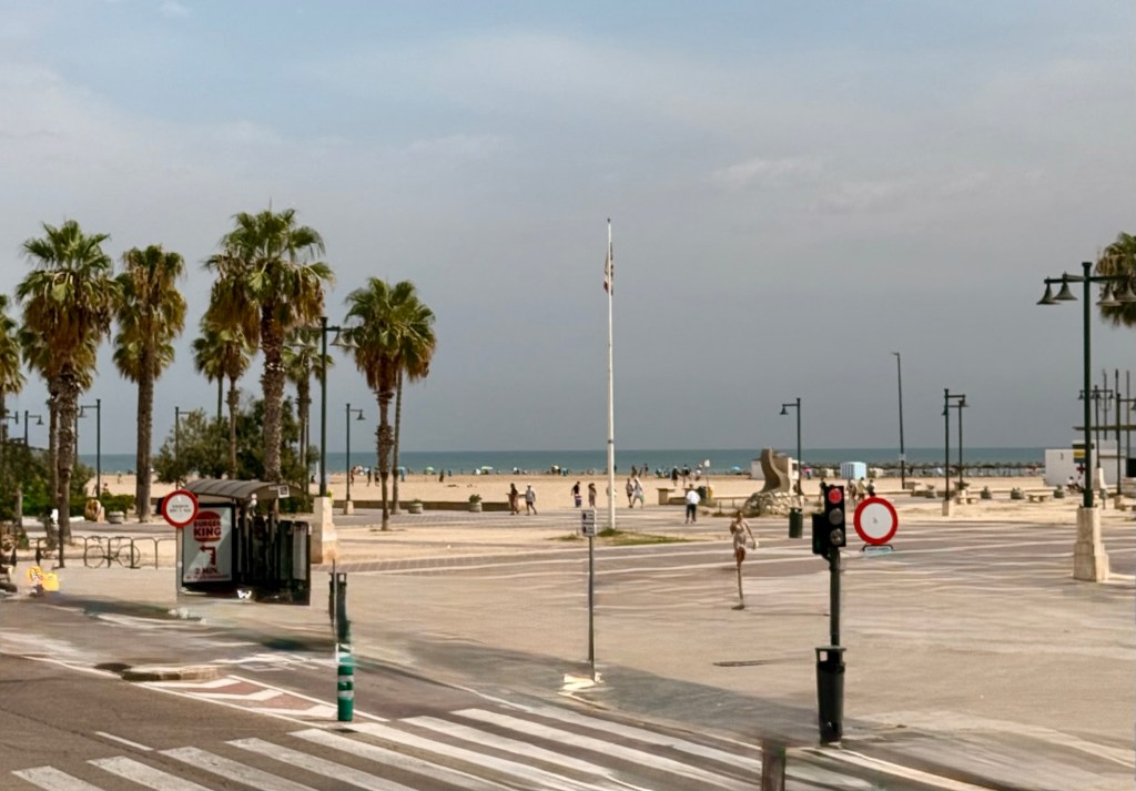
Look at the detail on this buildingFrom nicely cared for boulevards to…..to reminiscing of some the places in MexicoBeautiful soft “clean” sandChairs and umbrellas for rent… if there are any leftGreat idea… boardwalk to the beach, cause you’d never be able to walk on that hot, hot sand Hotel La Arenas as seen from the beach Marine buildingCan you believe the name of the bar???Spanish and Valencia flagsIn quite a few place, there is parking between the two directions of trafficAug 26/26City hallThere’s lots of these kind of beauties here… tattooed and coloured hair Mom poking the baby to get up off your toosh and get moving… lol!Pretty nice back streets, huh?Had this fancy drink atop a restaurant that didn’t charge to go up to have that drink but…To go up for dinner, there was a surcharge. This was the view looking over the plaza Last 16 pics are taken in Plaza del Ayuntamiento
On the walk….Ciutat Vella
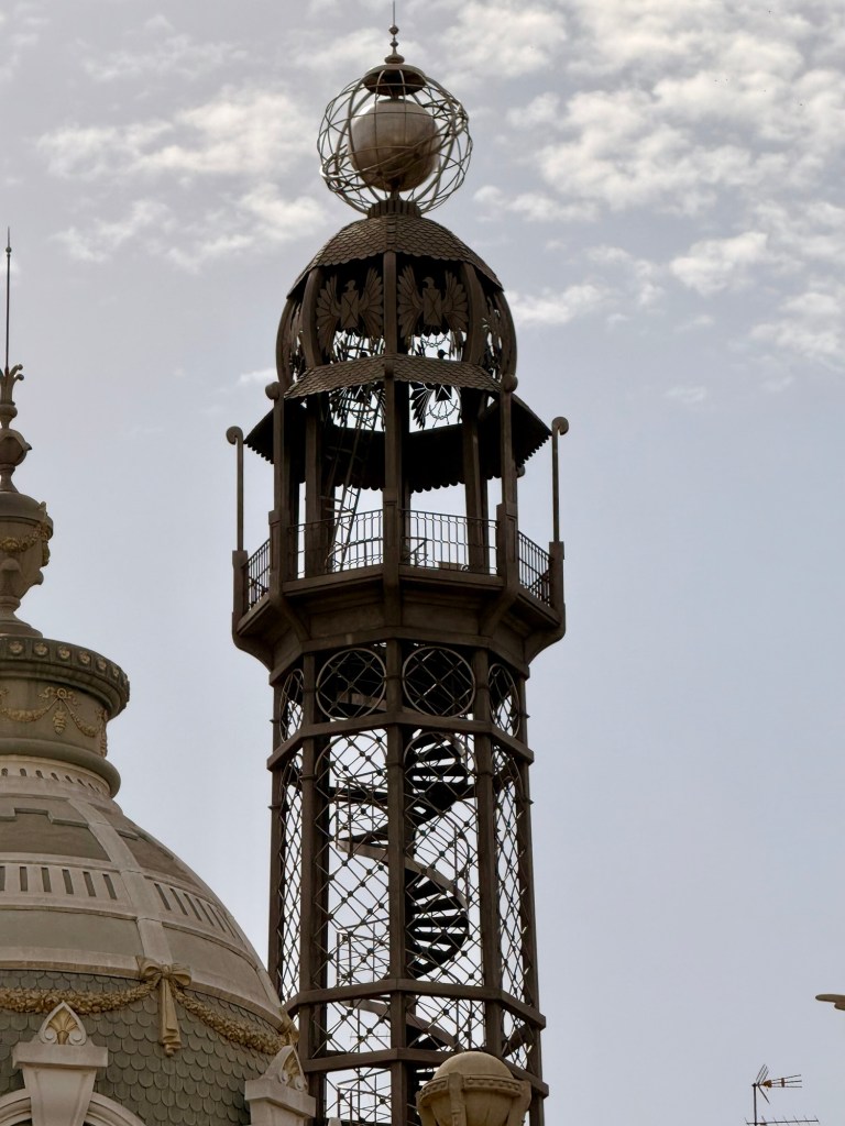
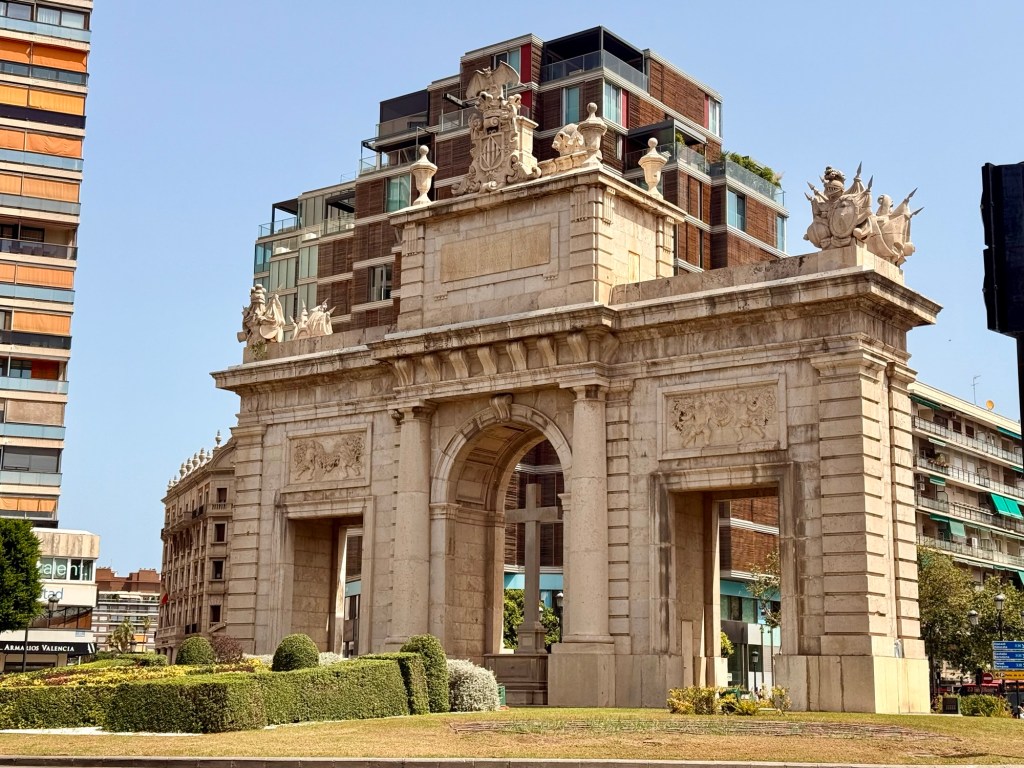
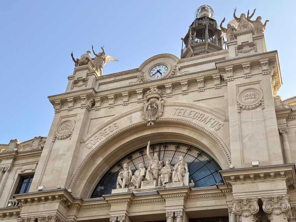
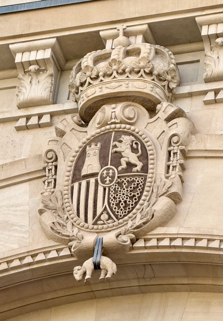
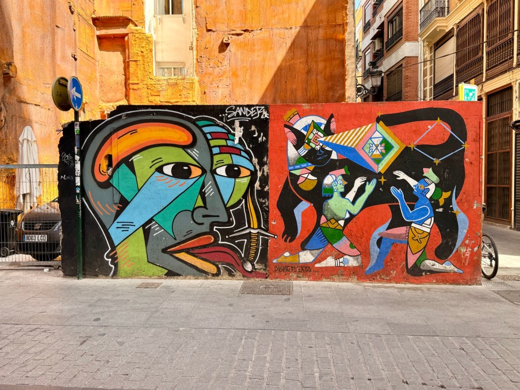
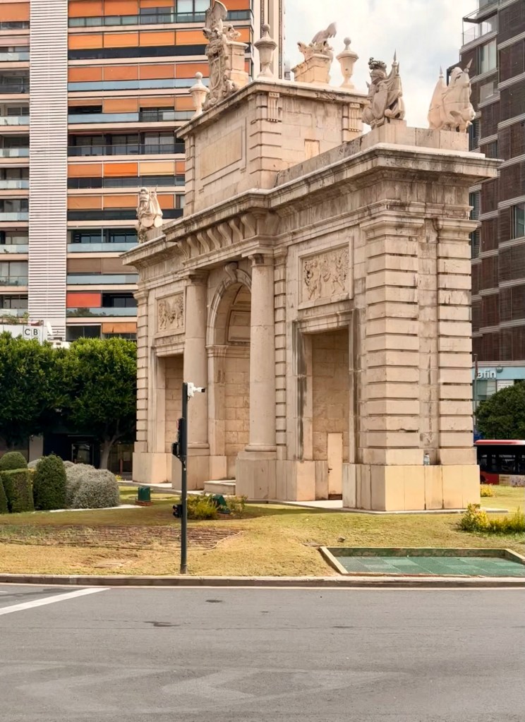
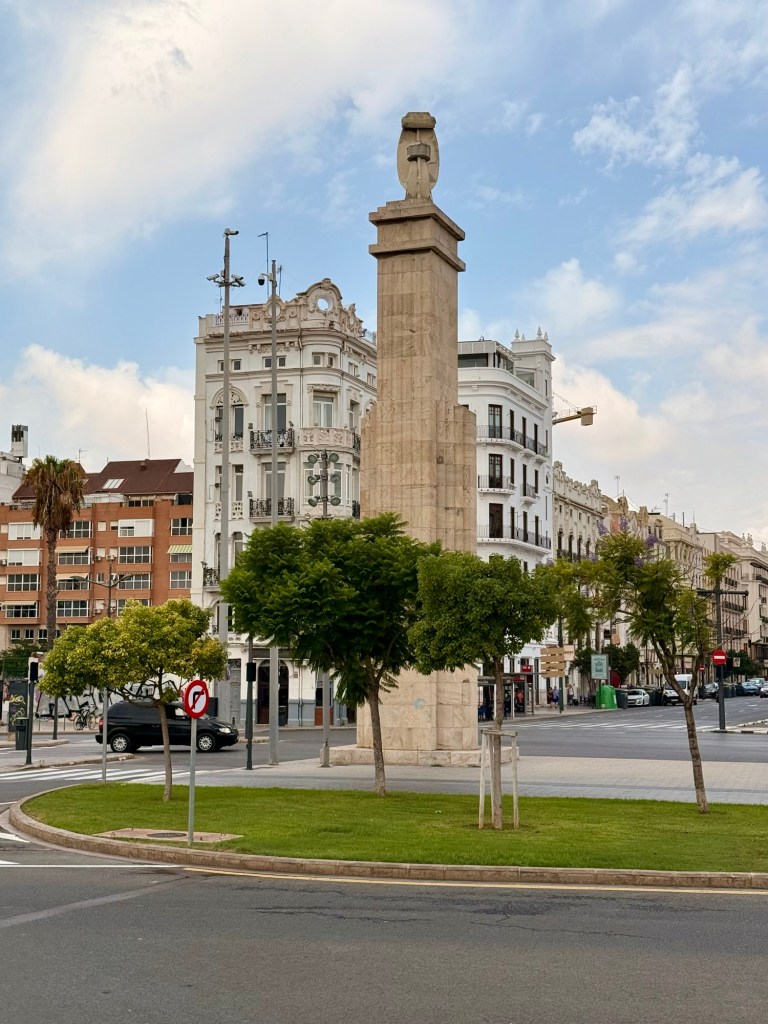
Porta de la Mar rebuilt in 1946- to honour victims of Spanish Civil War. (In style of Roman arch)Dama Iberica-weird…. In middle of roundabout Correos de Telegraph building (&post office) that we were told had an amazing glass dome but it was unfortunately was closedTelegraph building doorsOrder of Golden Fleece since 1430… symbol of Spanish royal authority, etcNot much of this kind of graffiti seen
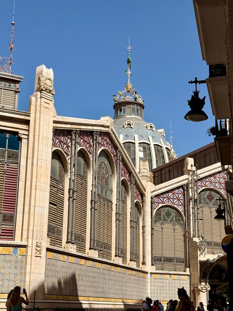
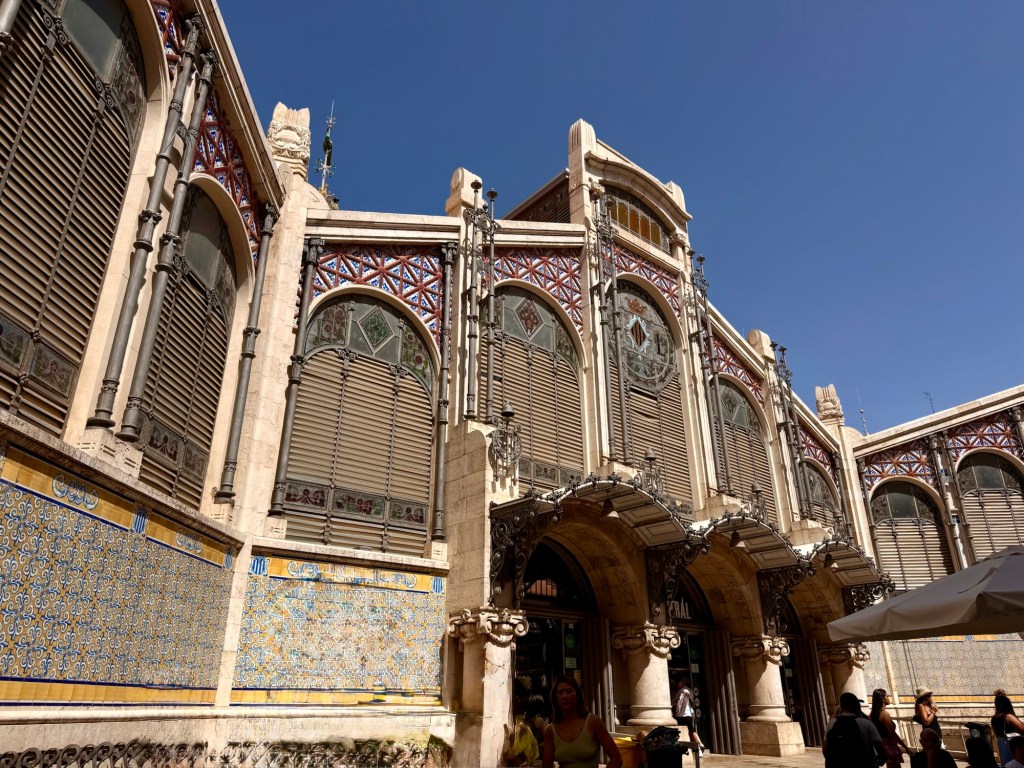
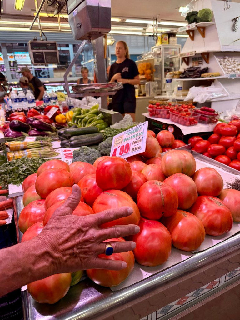
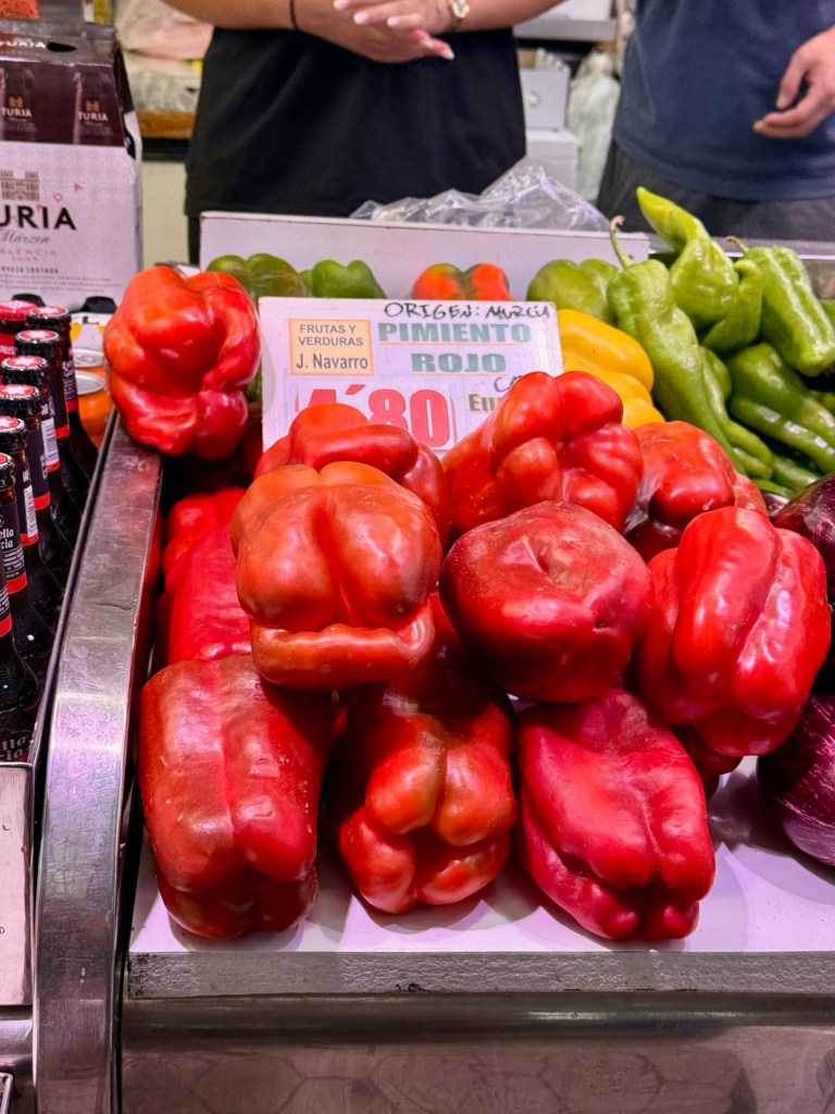
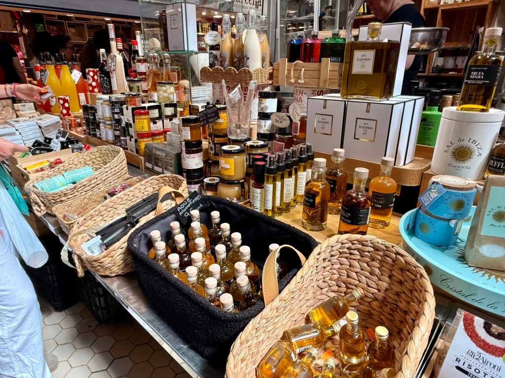
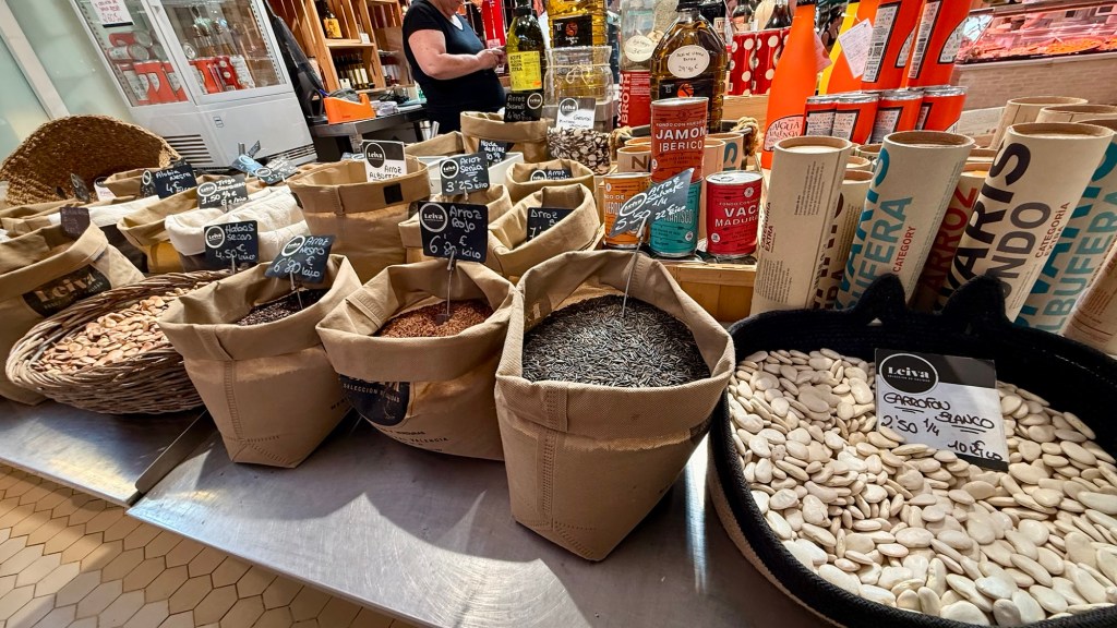
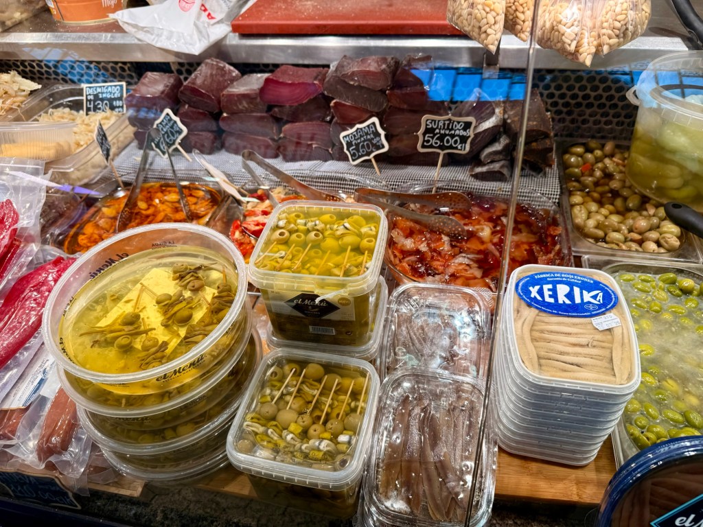
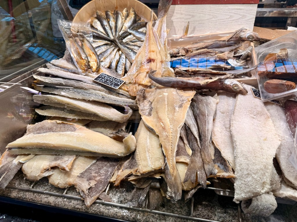
The following pictures of the amazing Central Mercat
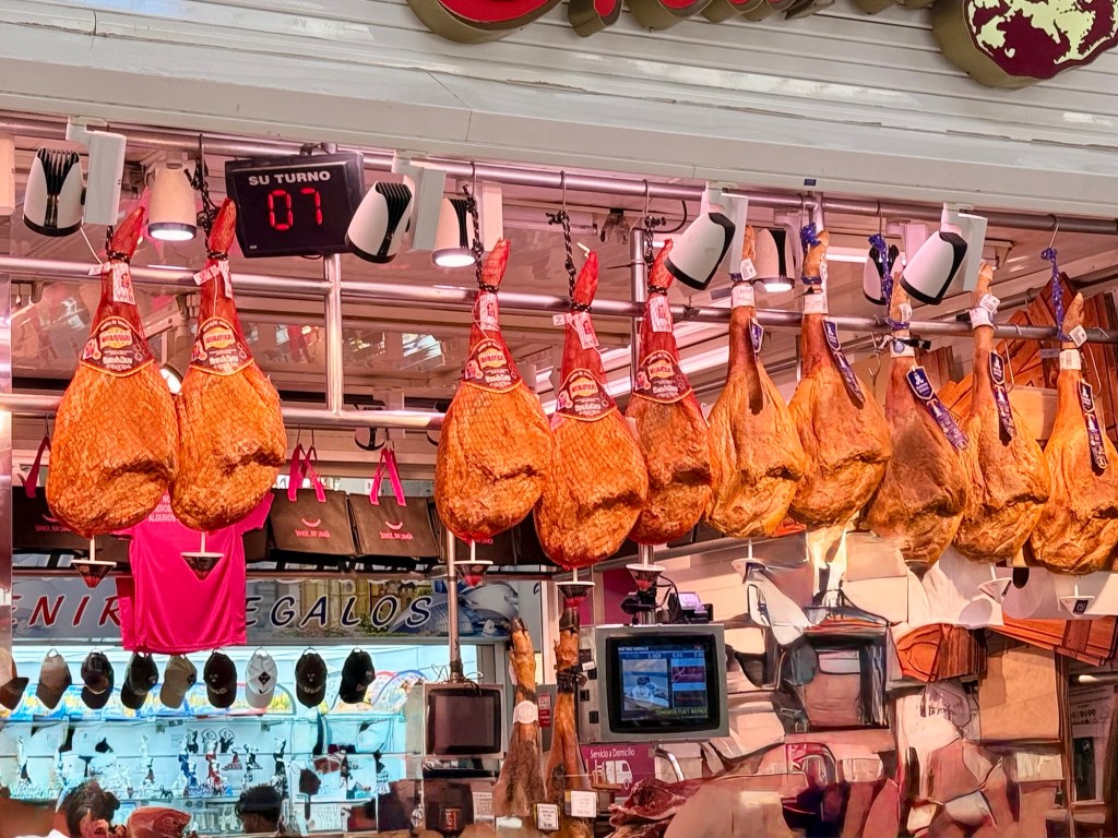
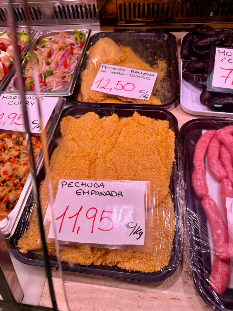
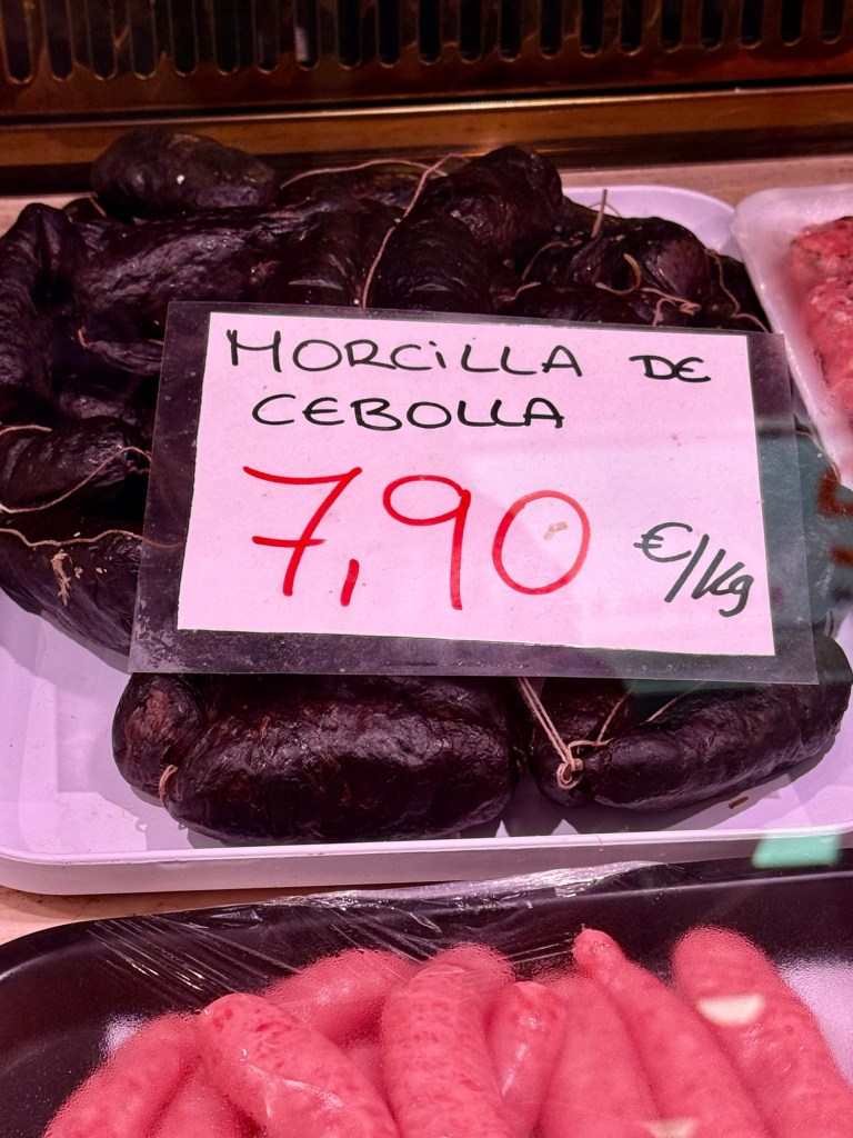
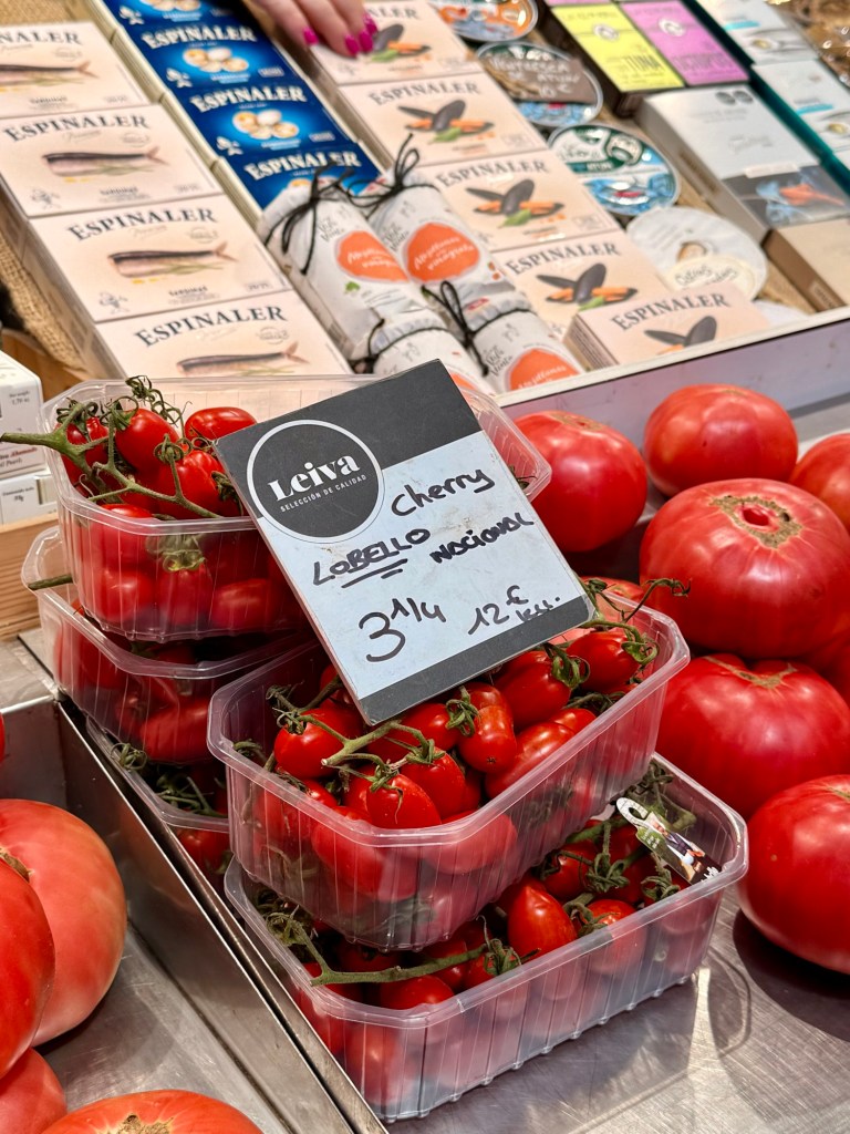
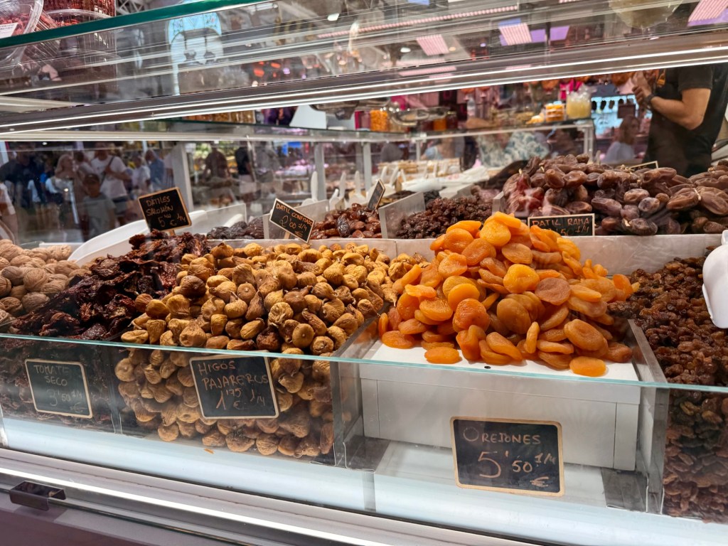
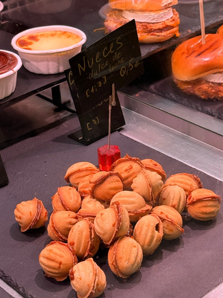
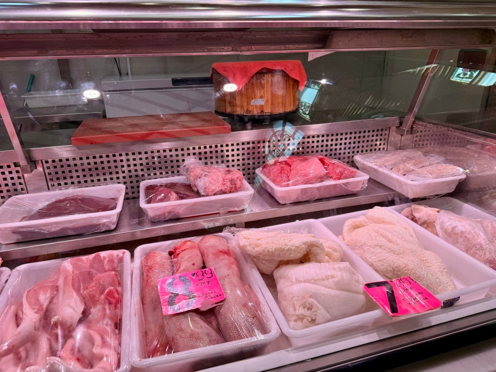
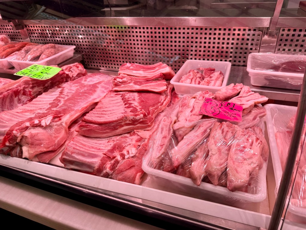
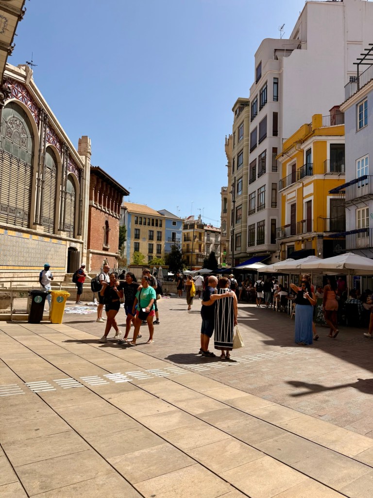
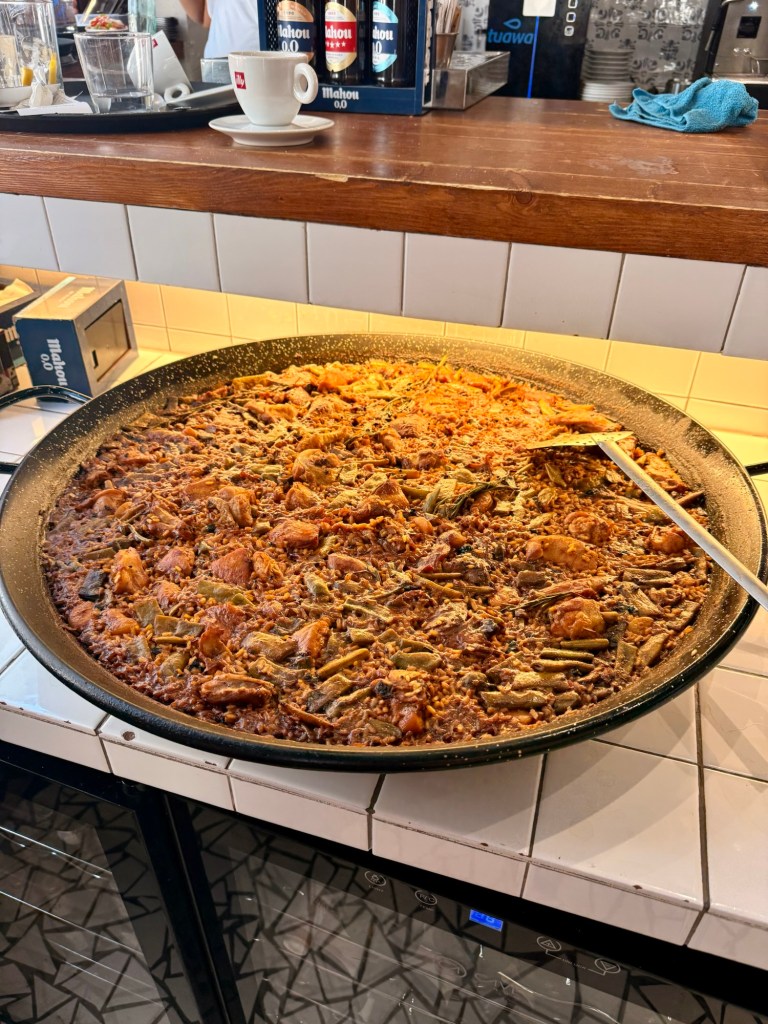
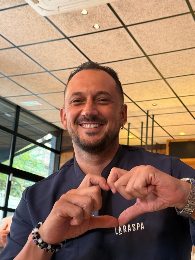
HamsFront pork hockCherry tomatoesOlive oilsOlives and anchovies-2 things I now love after being hereDried figs and apricotsWalnut treatsPigs tails, feet pork liver, hearts, sweetbreads and beef tripe, …. I haven’t seen since I started working at Saanich SOFPigs feet on the right, pork sides on leftThe square outside the MercatSpanish PaellaAlexis… great bartender at the bar below our accommodationsLast breakfast spot before we leaveLast look on the street, a tribute
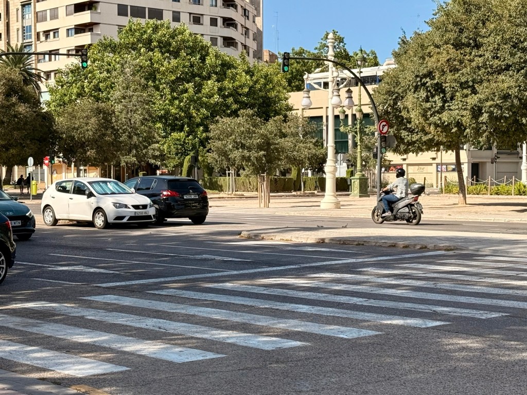
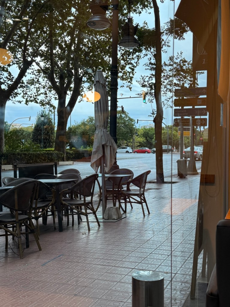
In the picture of the breakfast place, I wanted to show how left hand turns are made….. no separate left turn lanes coming to intersection, very narrow between directions of traffic but about 4 lanes turn with 2-3 vehicles in each….nobody goes until the light turns green for the direction they are heading. It works!!!
What a wonderful city! We would consider coming back…. but stay in a different accommodation
As I mentioned before, I would sent my blog about the last leg of our trip…. to Valencia, Spain. Hopefully I have enough space to post…. a lot of pictures.
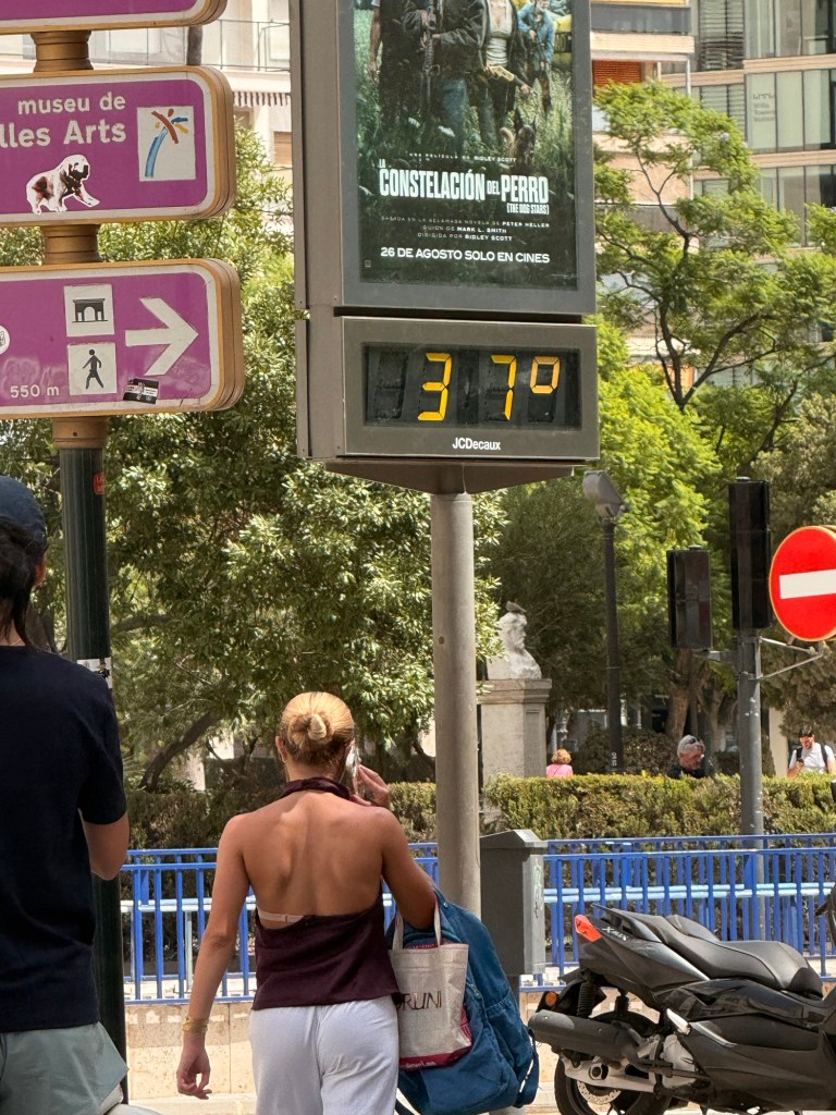
We went to quite cool and damp days on our cruise to sweltering heat in Spain. It is a gorgeous city and we would love to return there but in one of the cooler months, please.
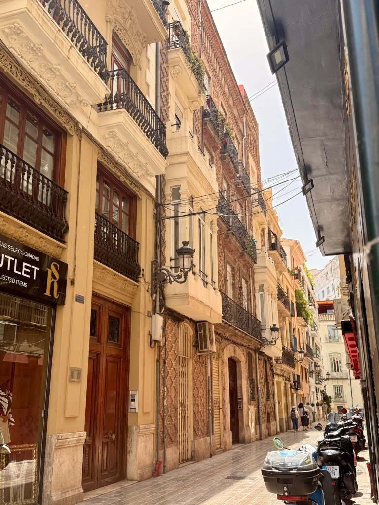
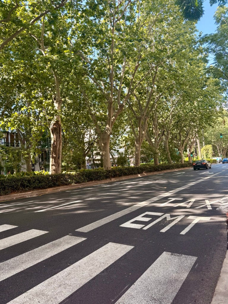
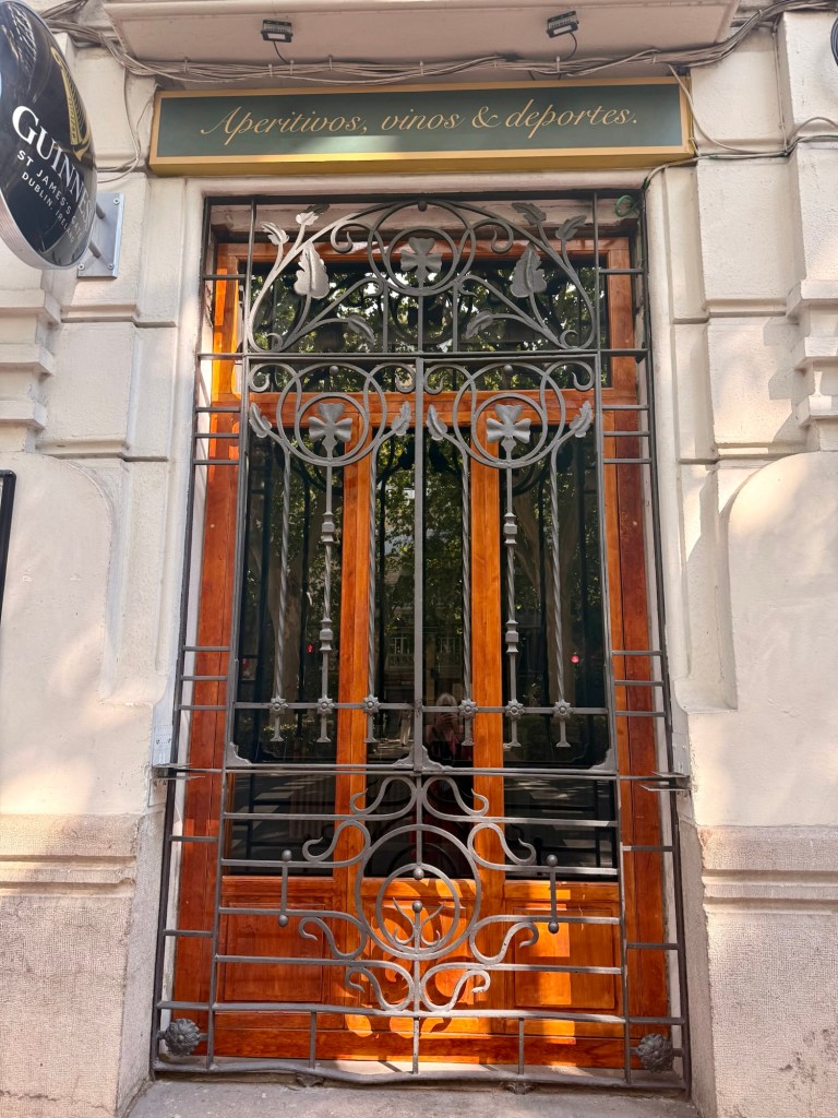
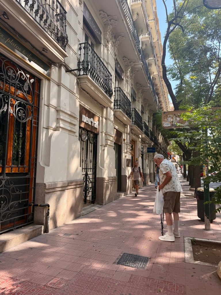
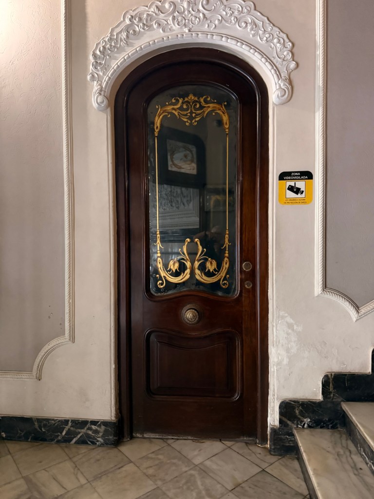
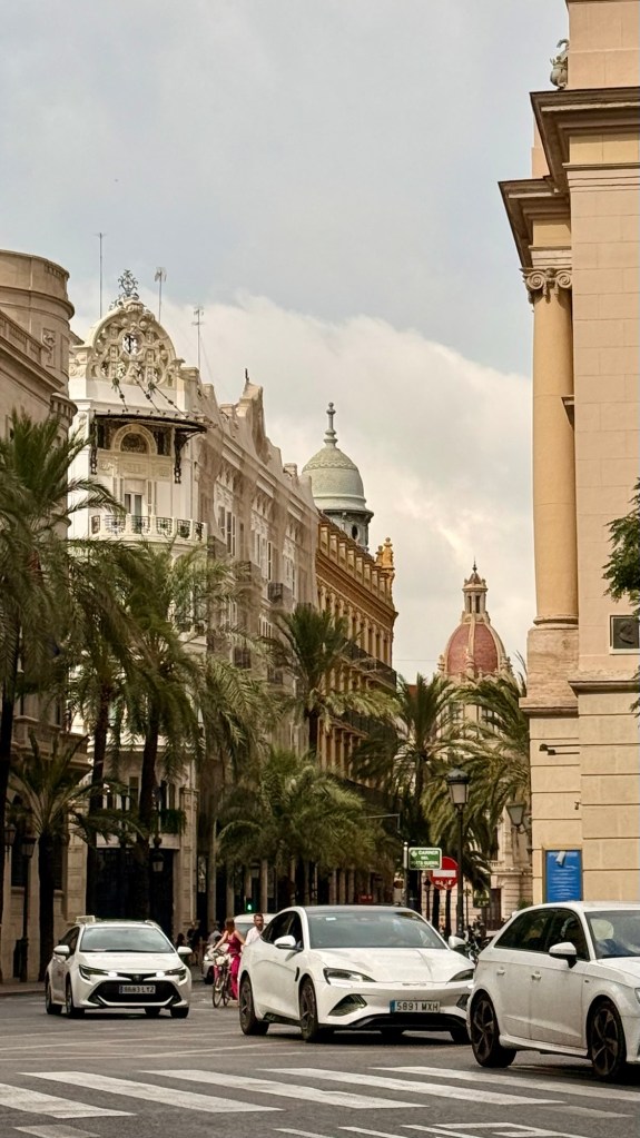
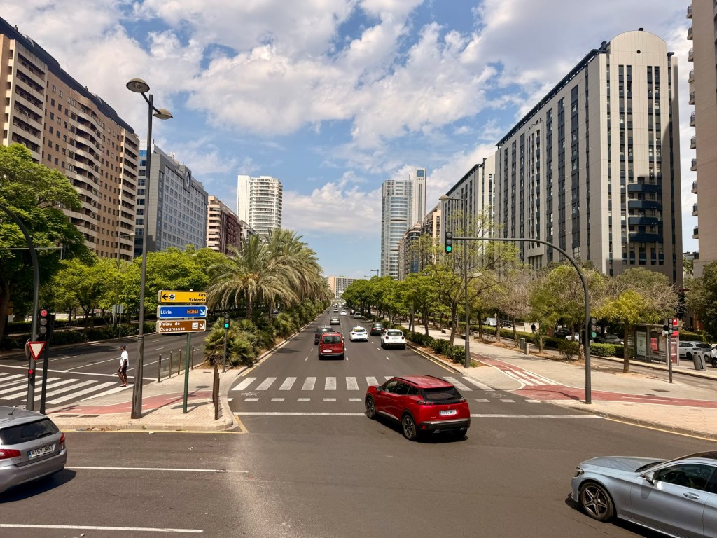
Just around the corner from where we livedStreets with traffic on both sides of trees foot paths… gorgeousBeautiful huge doors
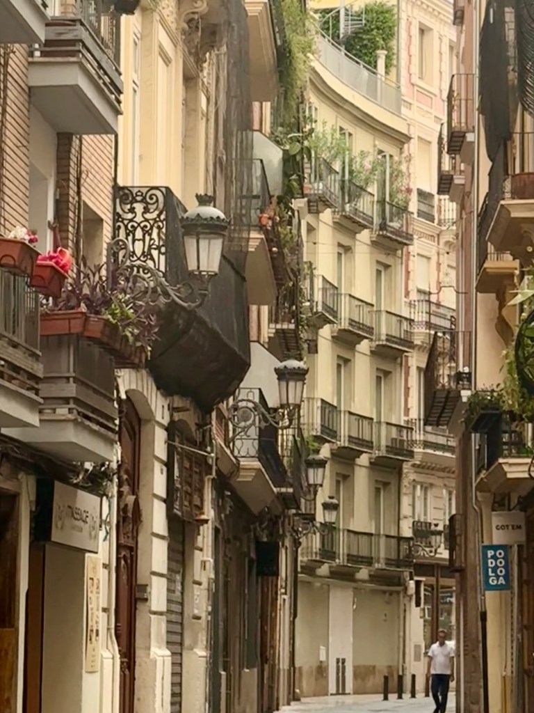
These are all taken in the neighbourhood where we stayed …. on the first morning
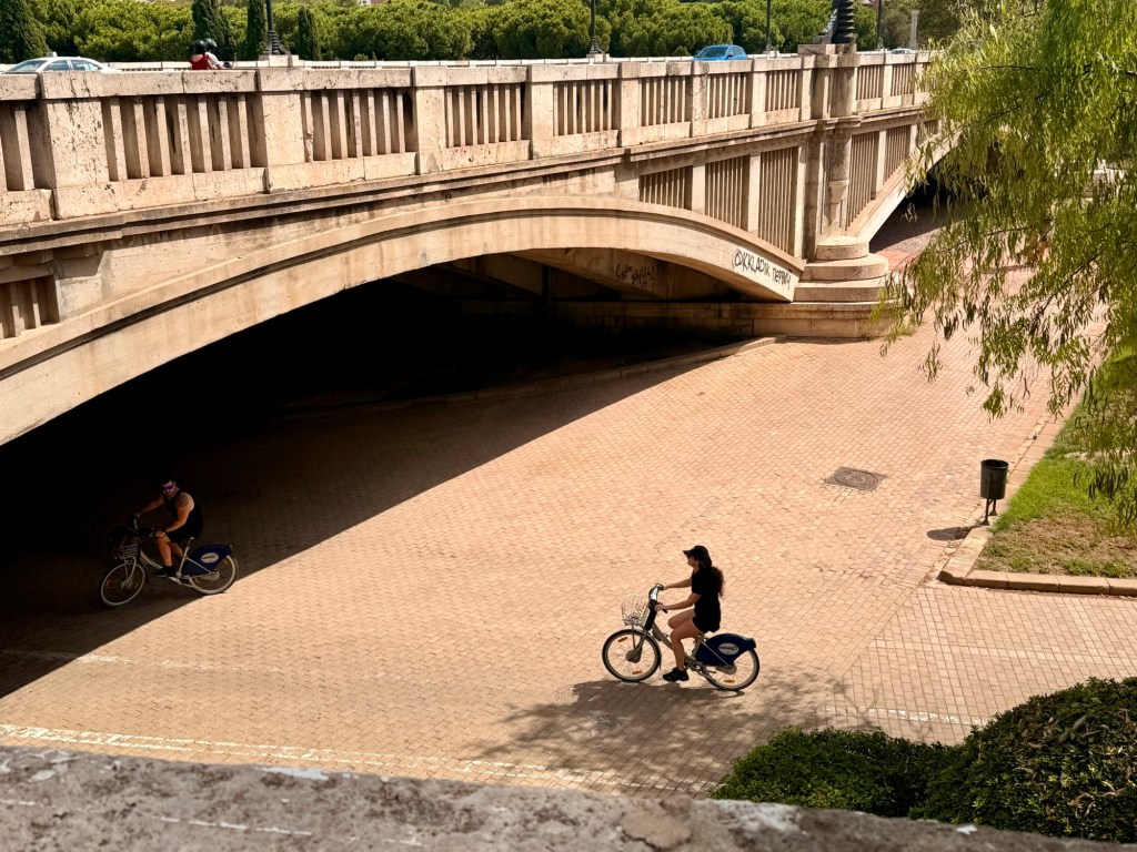
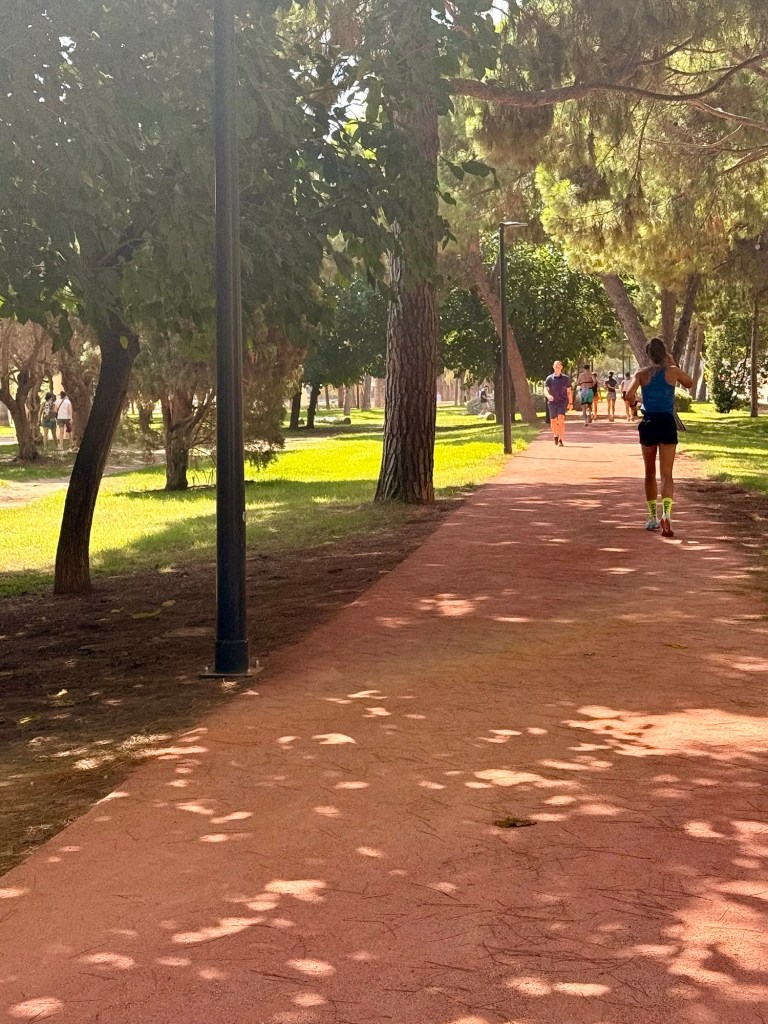
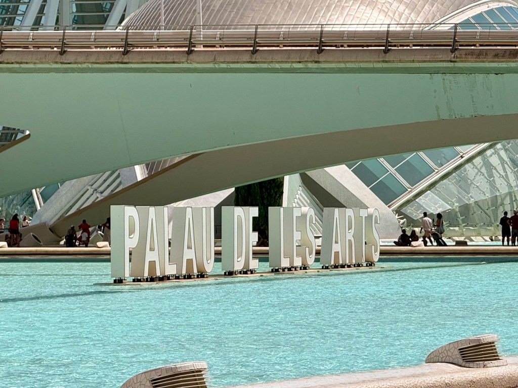
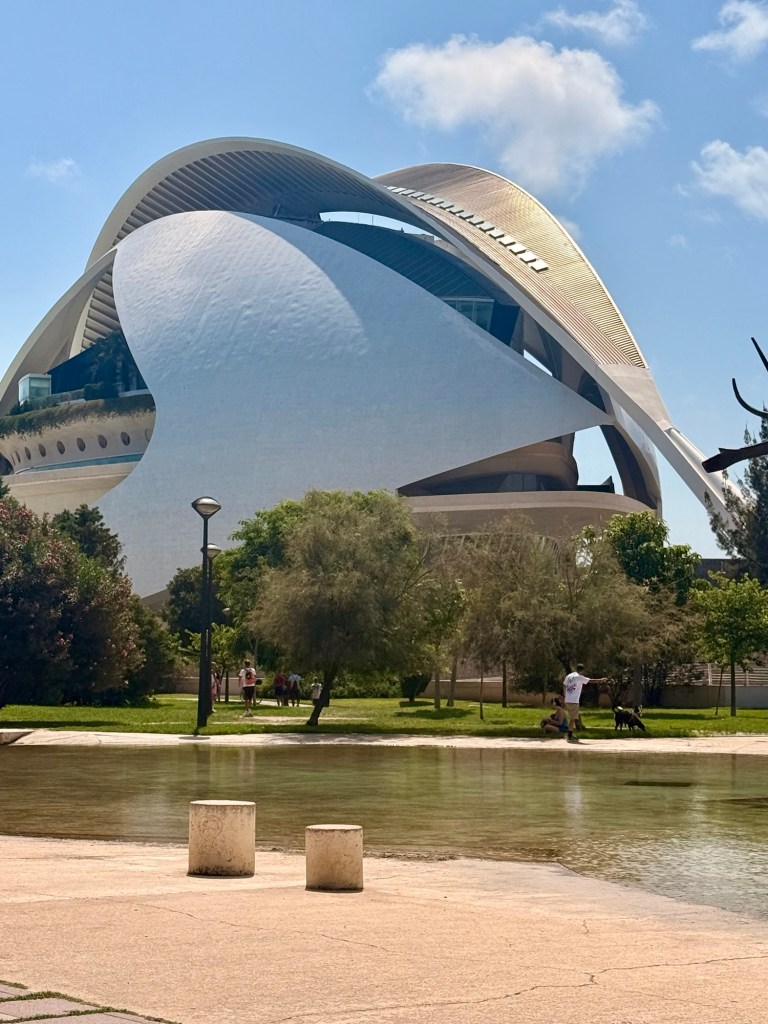
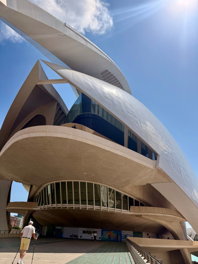
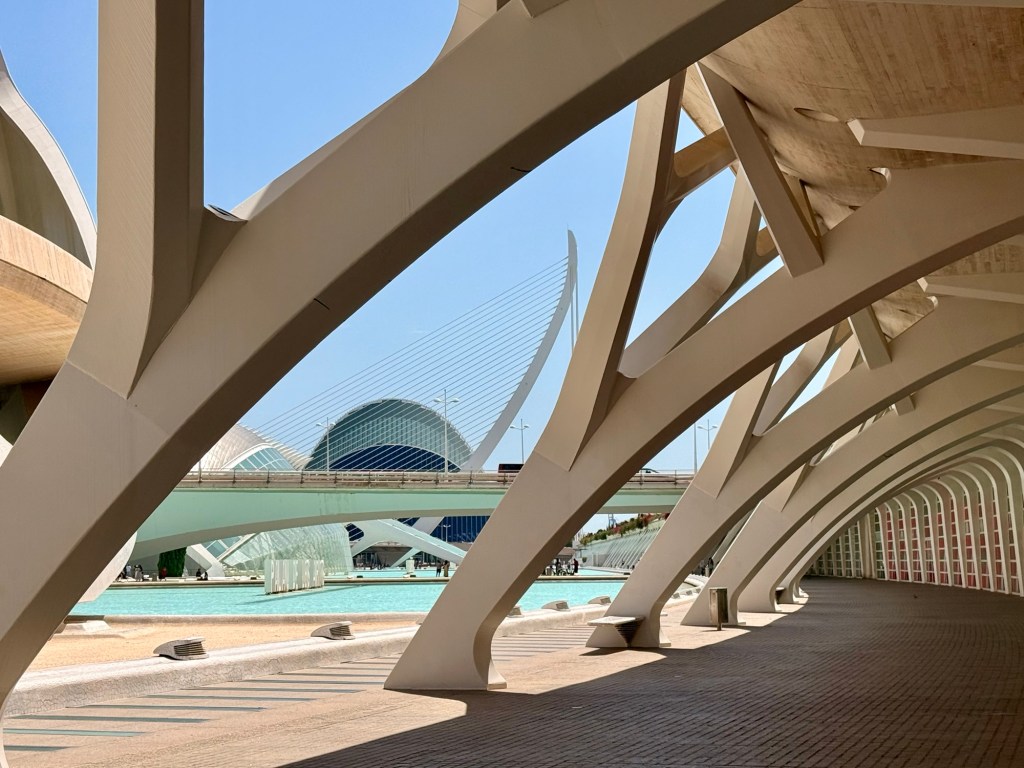
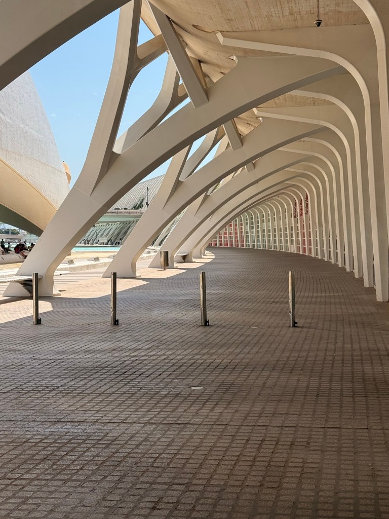
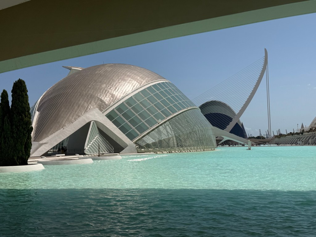
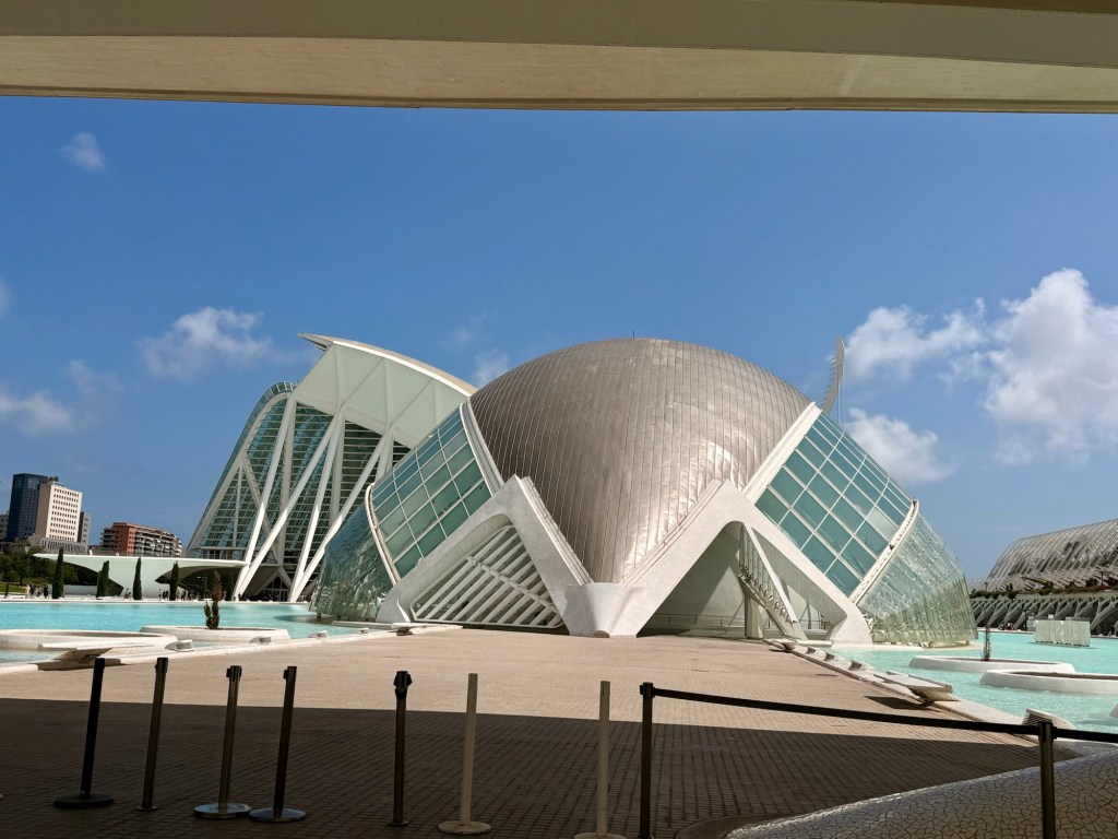
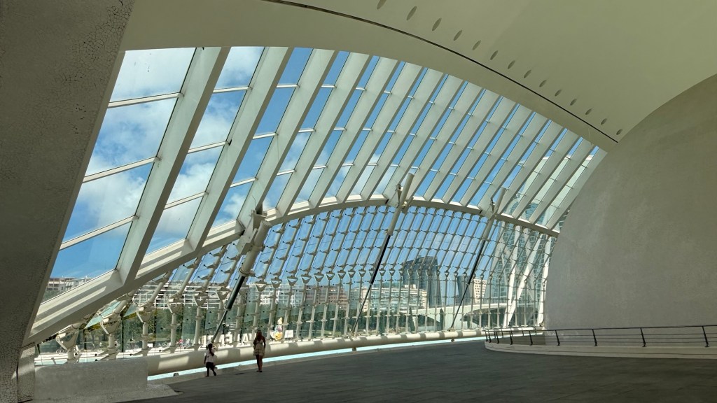
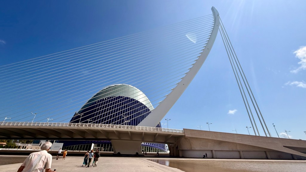
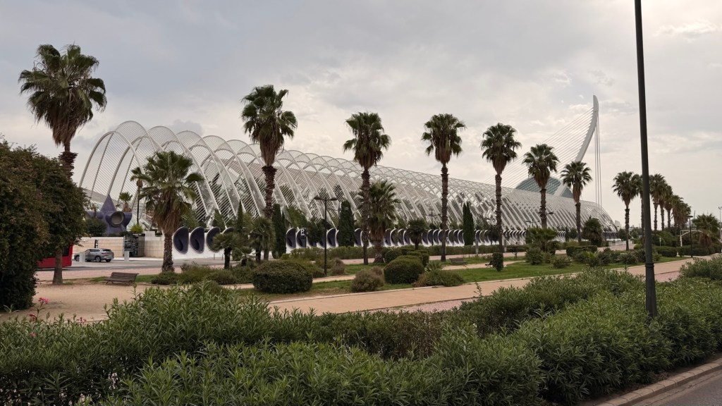
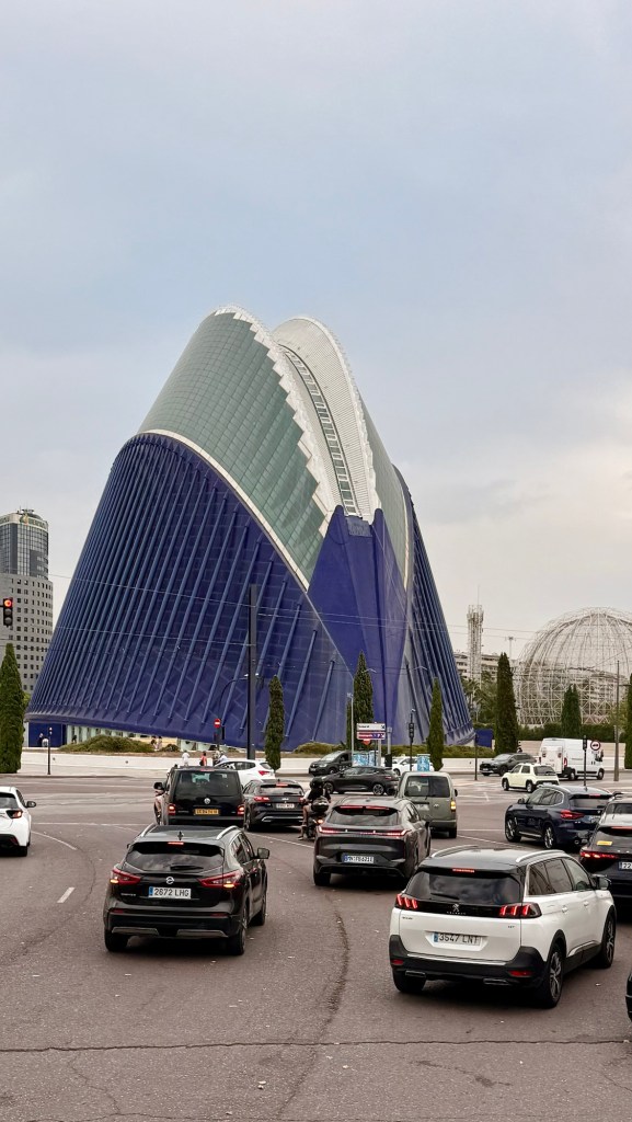
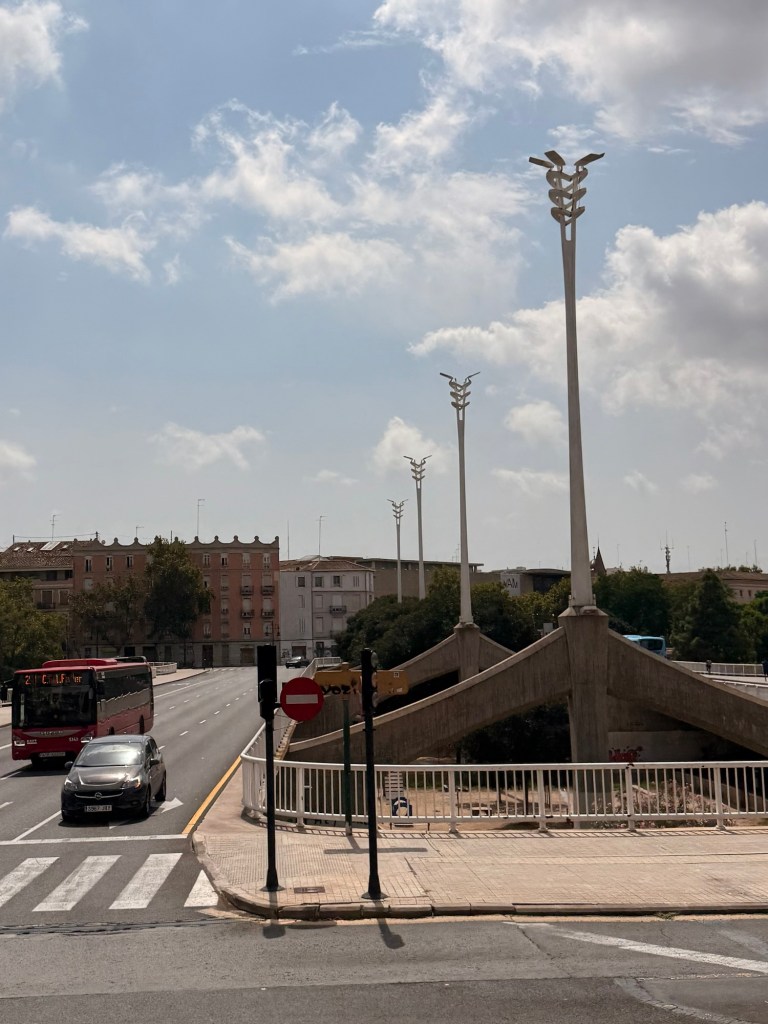
The River Túria, that ran through the city but would flood quite regularly especially a devastating one in 1957. So in the 1970’s, they diverted it and made it all a public park with it being used for joggers and bicycles (without having to go on city streets) with one end being made into the incredible Palau de la Musica (opera theatre), Bioparc and City of Arts and Sciences. Absolutely amazing!
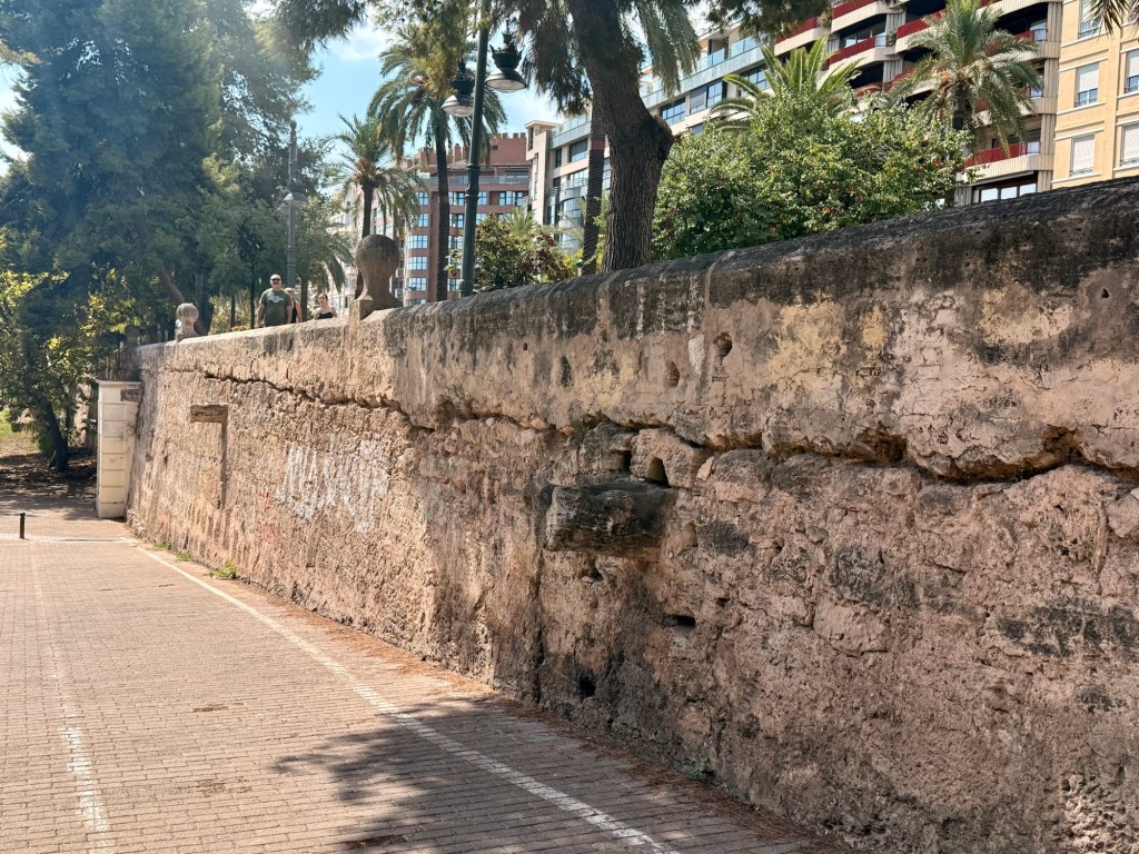
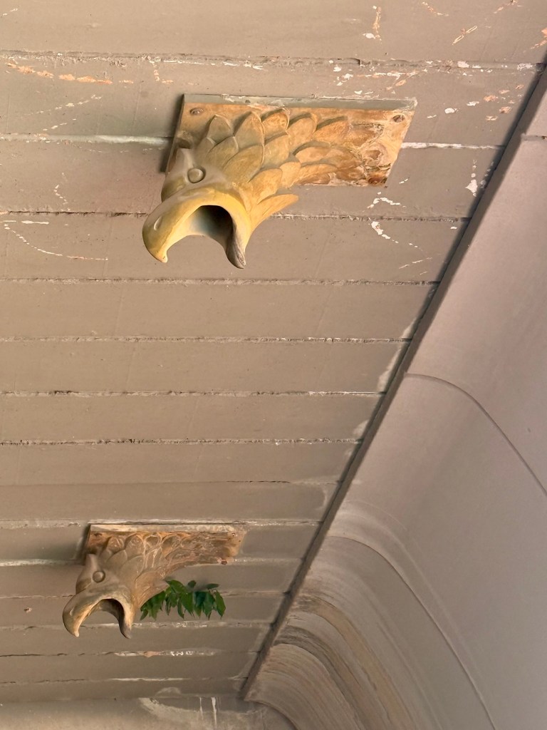
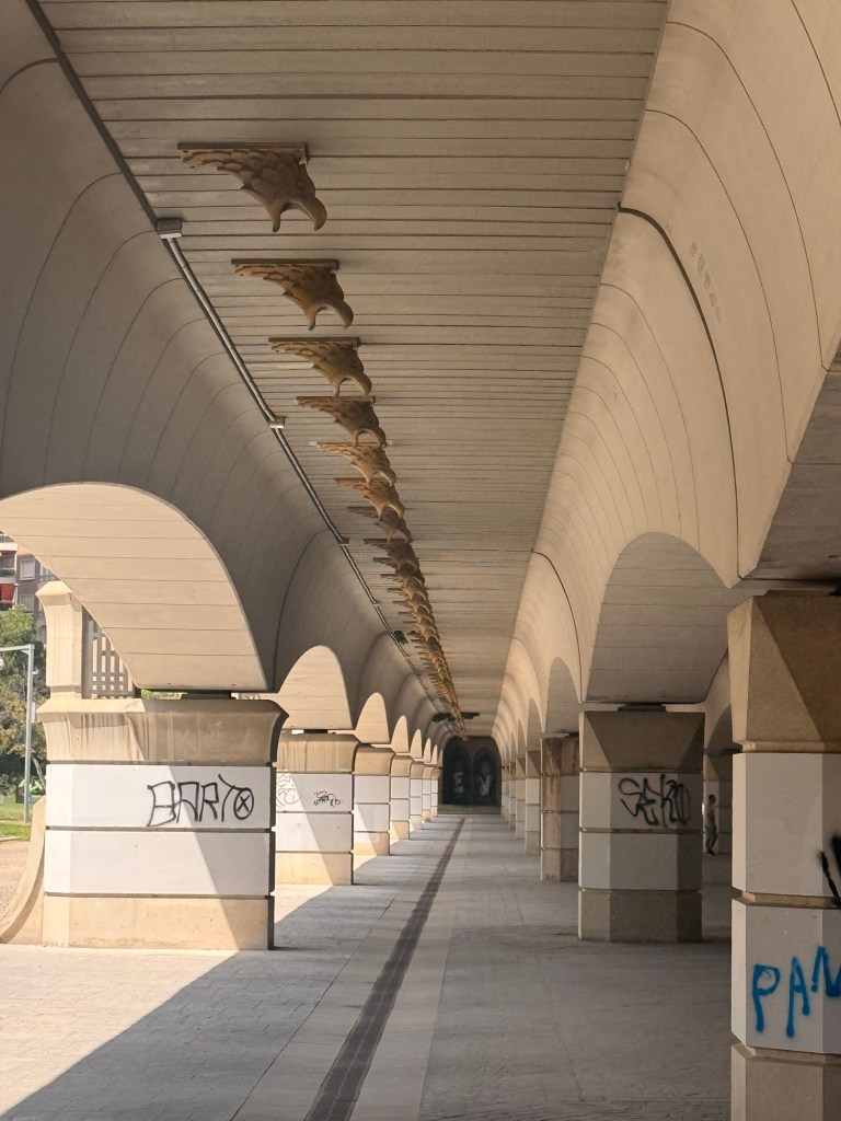
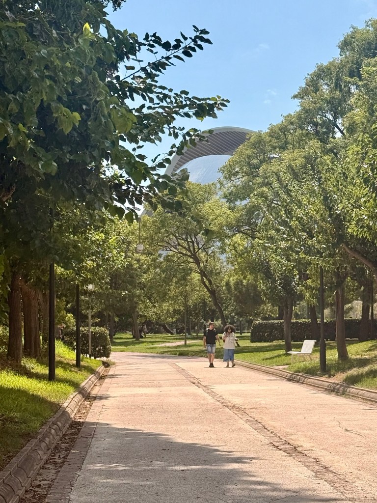
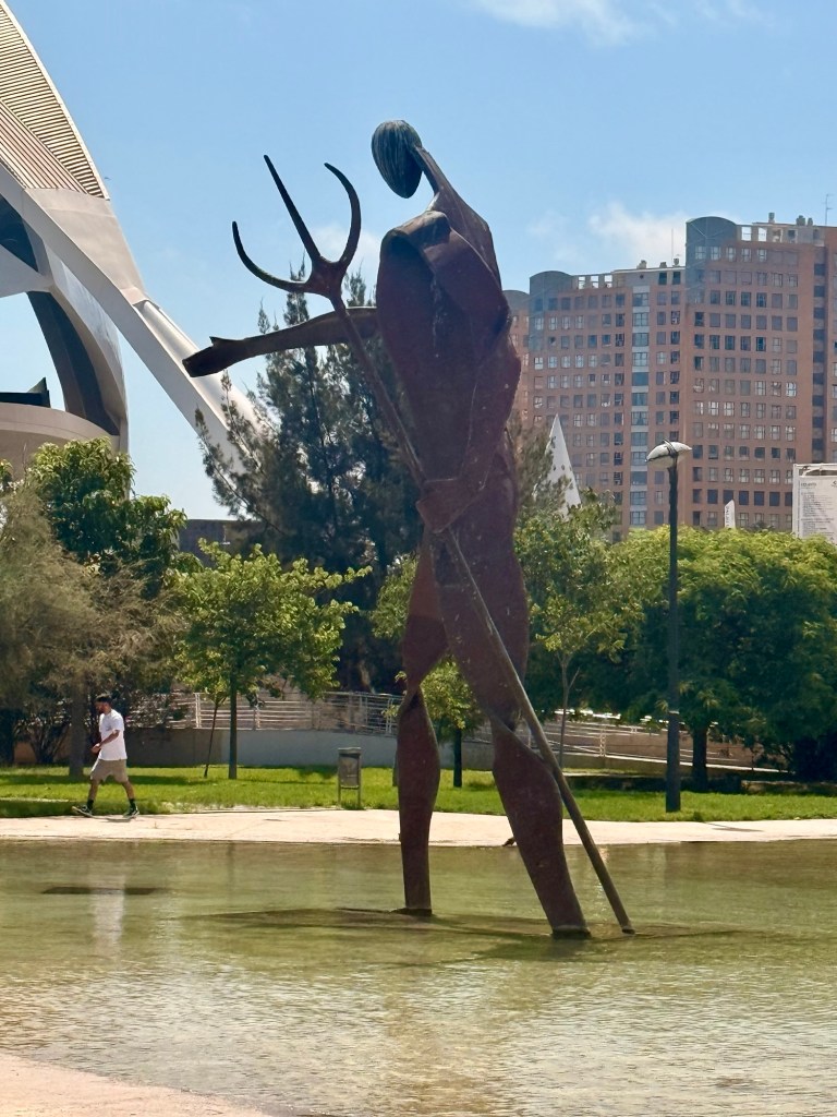
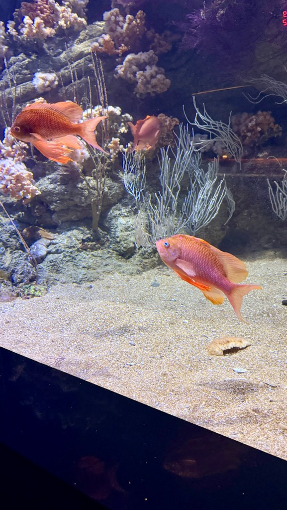
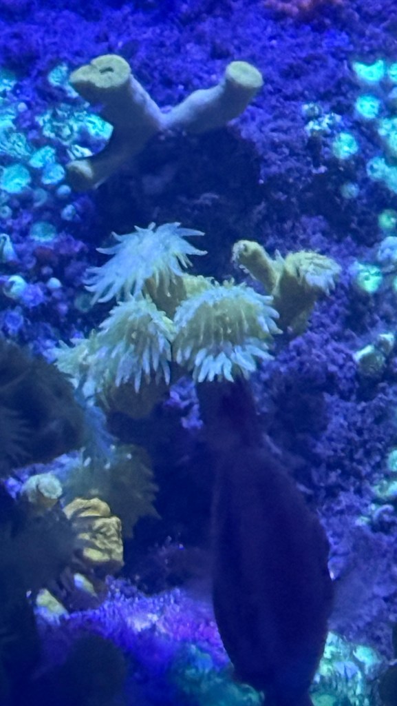
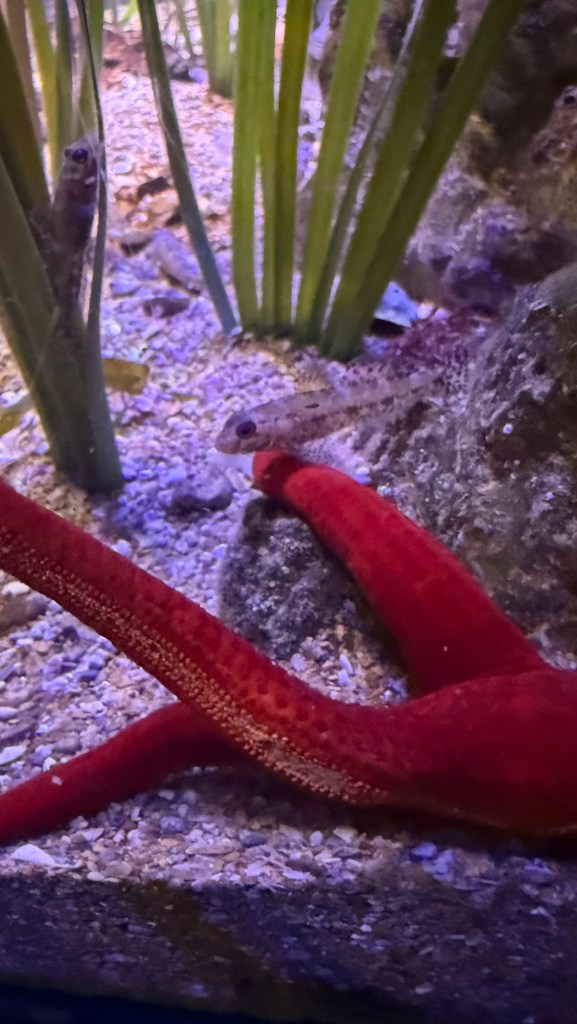
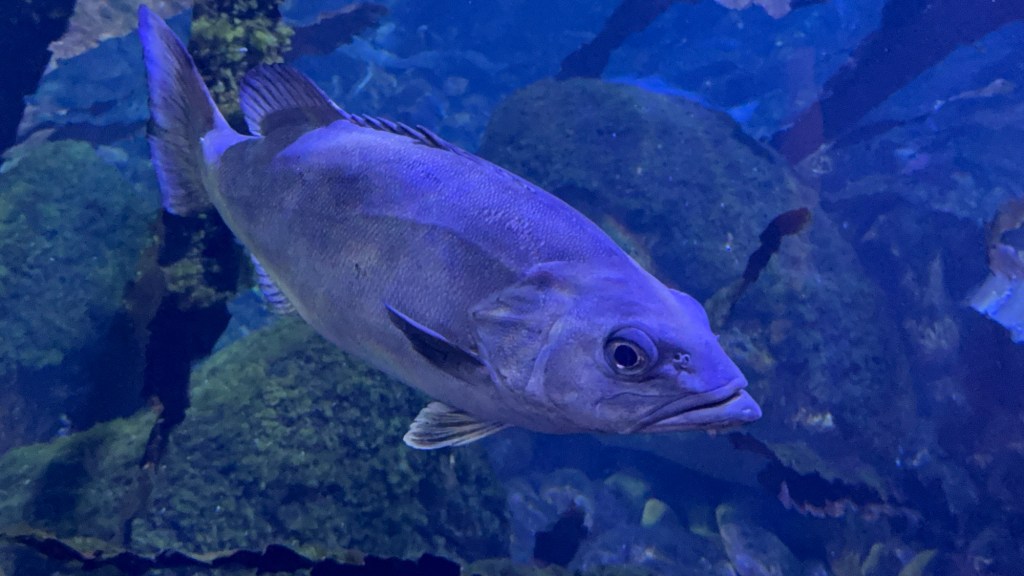
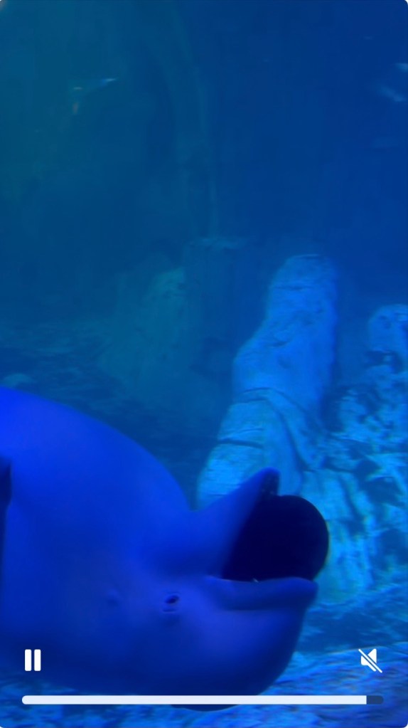
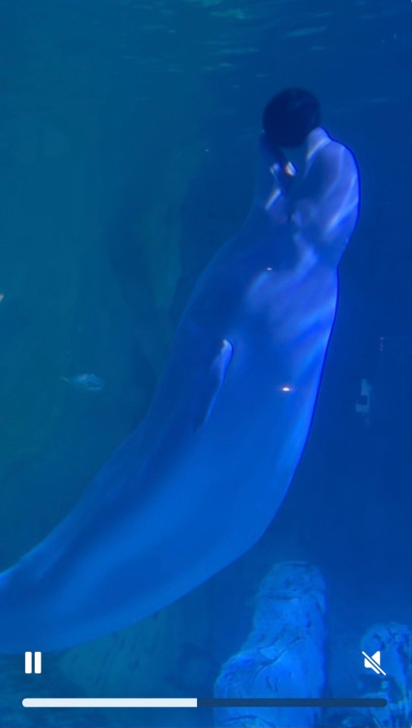
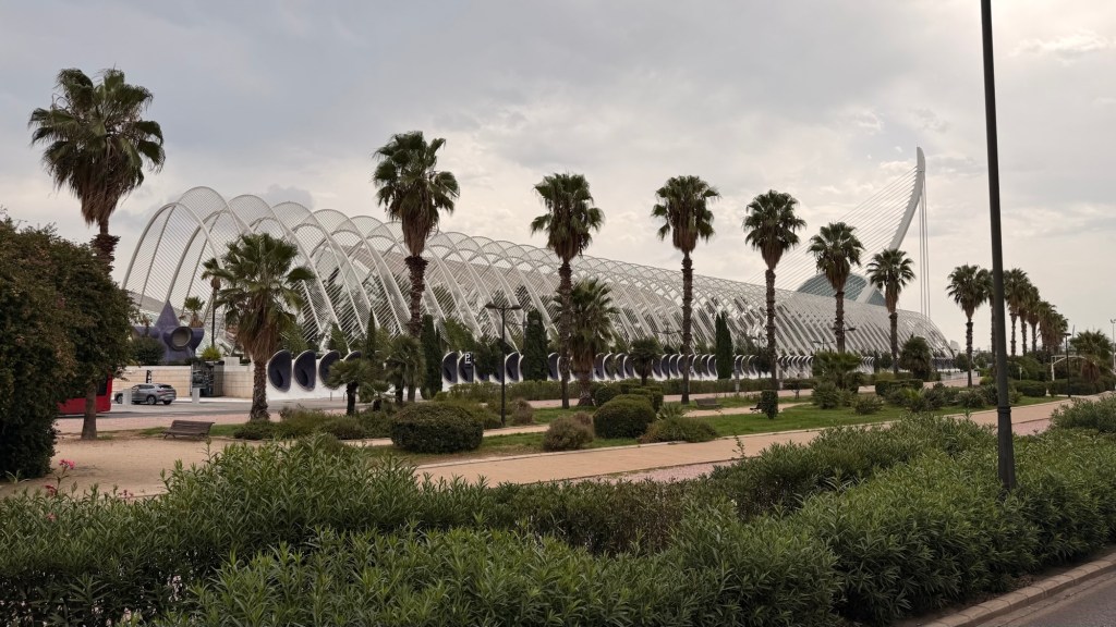
Bicycles Probably an original wall with more added on topJoggers Eagles under a bridge All the way across PedestriansBeautiful green space In one of the ponds Opera house….…. looks like an eyeballHemispheric Highest point in Valencia Science museum…. shaped like skeleton of a whalePart of City of Arts and Sciences (L’Agora)At the Oceanographic……AnemoneBeluga whaleThis one loved to play with this ball So much more but I’m trying to conserve spaceIn the place we stayed.
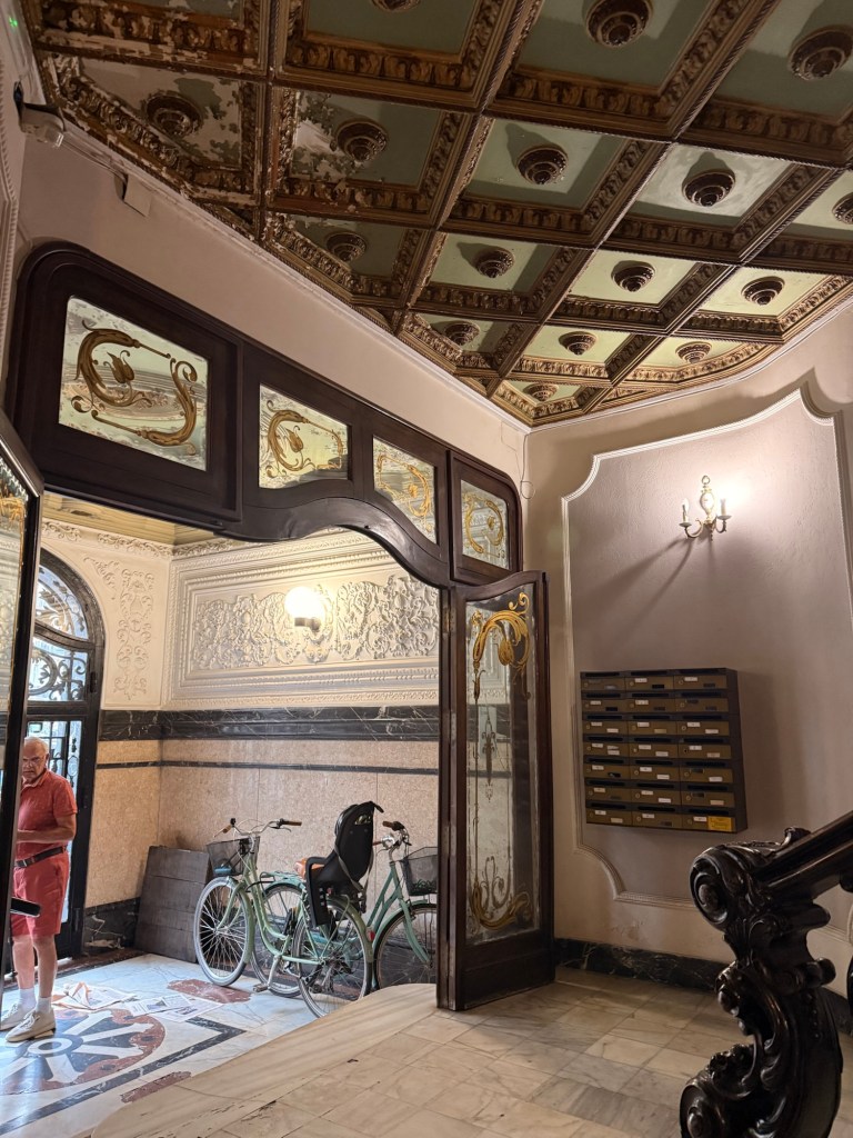
What a procedure getting in! I didn’t realize until after booking and paying for it, that there was no reception at all. They send you a link to get in each of 3 doors. In order to get the link, you have to have wifi….. that you get once you are in your room. Thank goodness for a couple of gal existing or we don’t know how long it would have taken to get through it. Okay so because our room was 504… we press 5 in the elevator that the two of us and our luggage could barely get in. There are no 500s, only teen (14, 15, 15 m, 16 & 17)numbers. It was then that I see on the link puerto 14…. “Let’s try that one”. Voila….!!! Inside there is our room number but wait…. we still have to go through the door. It doesn’t want to open, so try some numbers that were attached….incase! We got in to the sparsest room (a bed, a table, one chair, some shelves, a toilet and not much else)with only one hand towel and bath towel each. When we enquired if we could get new ones, we were told ”they are not included unless you pay more”. And never did get our room cleaned. This was for a full week!!!! Thank God there was AC. (It was so stinking hot 🥵)! One other thing was, that it was in “old town” pretty close to everything. Oh yah…. Everytime you went in or out “Puerto 14”, the door sounded like an electronic door at a jail closing. By the time we left we had it down to a science. It was an experience!
The next day we walked to the Mercat Colom and then onto where we caught the Hop on, Hop off bus. The following pictures from that day (the 23rd)
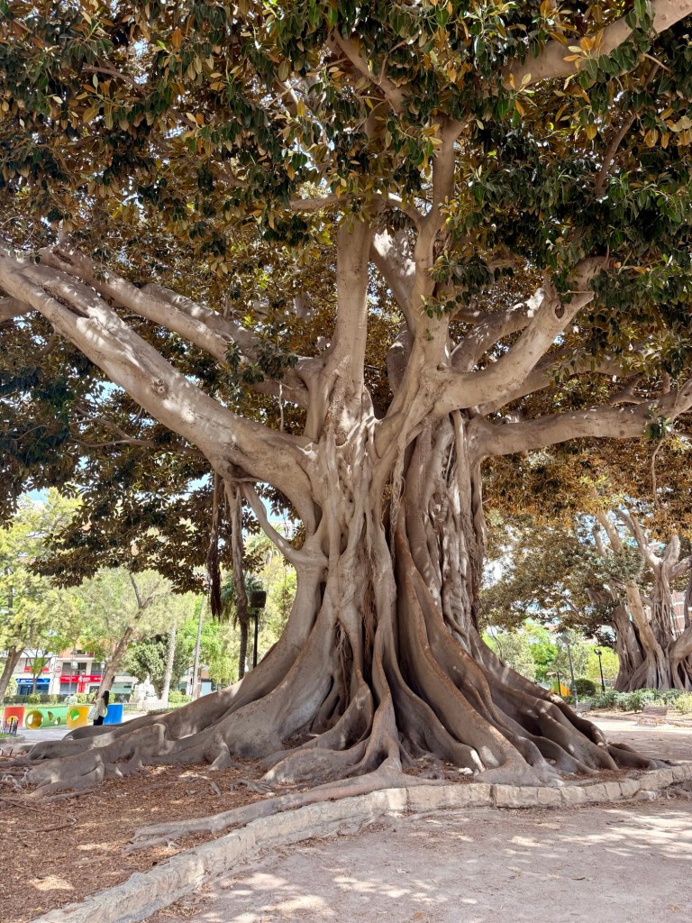
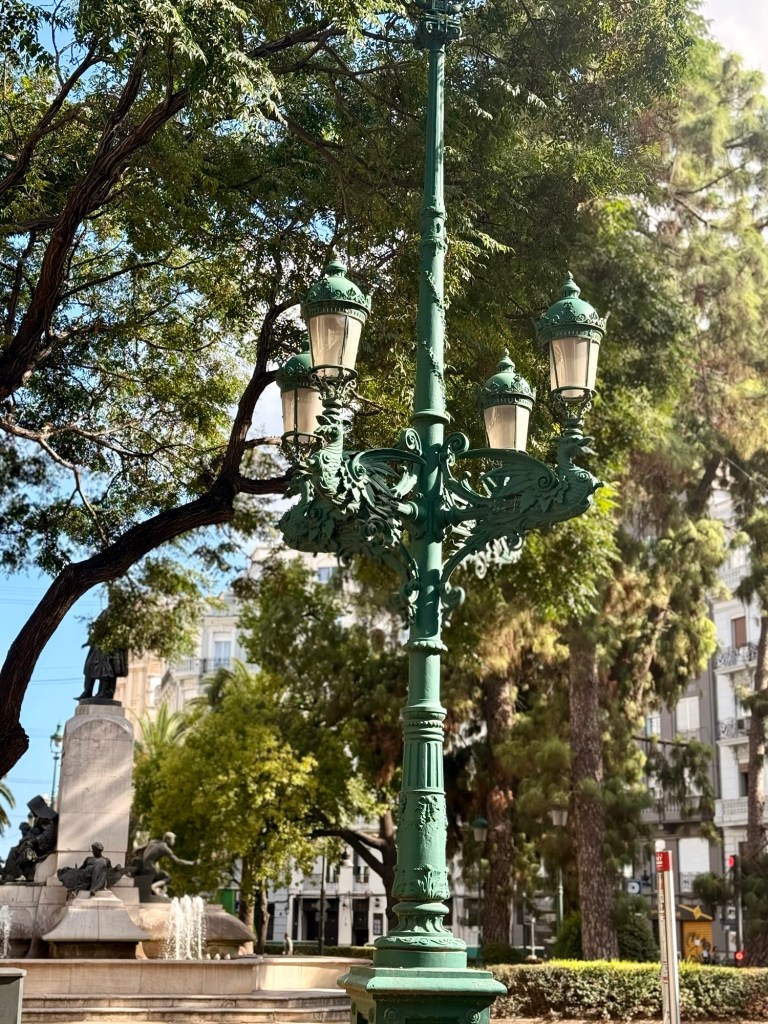
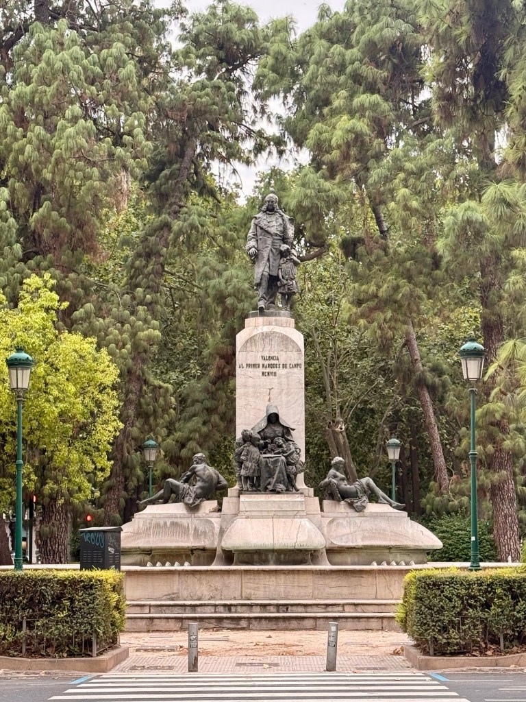
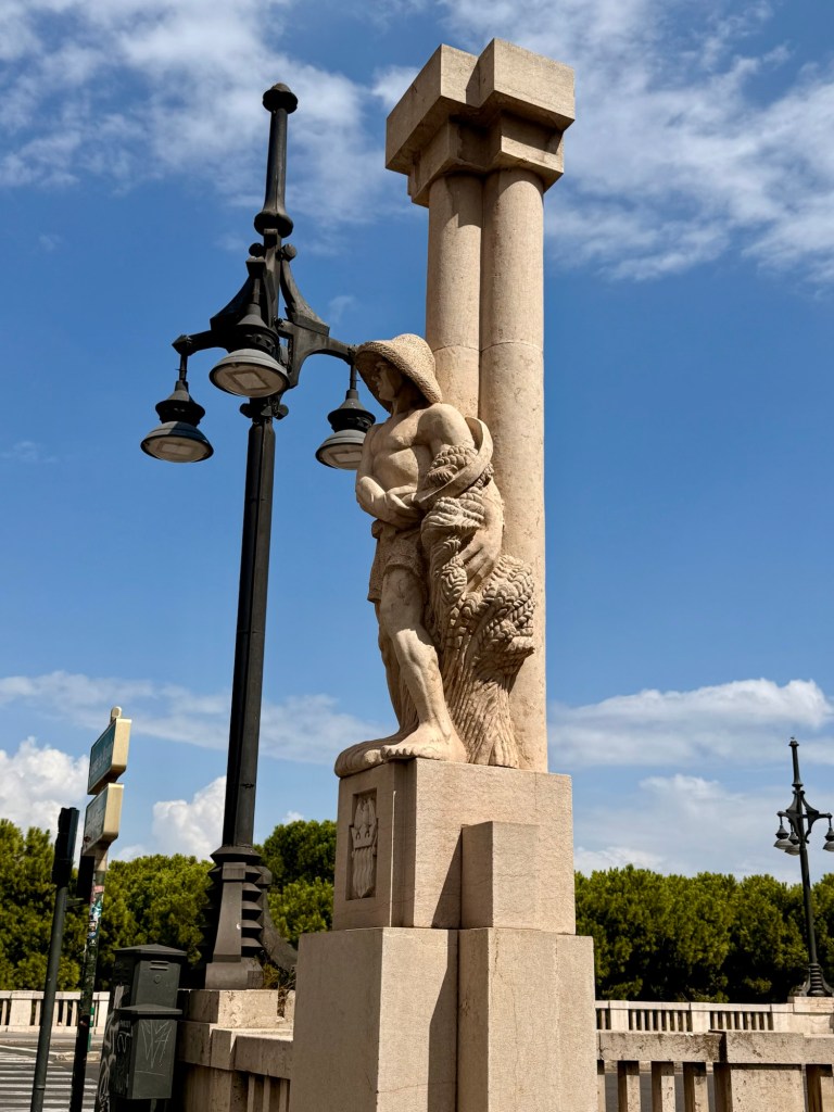
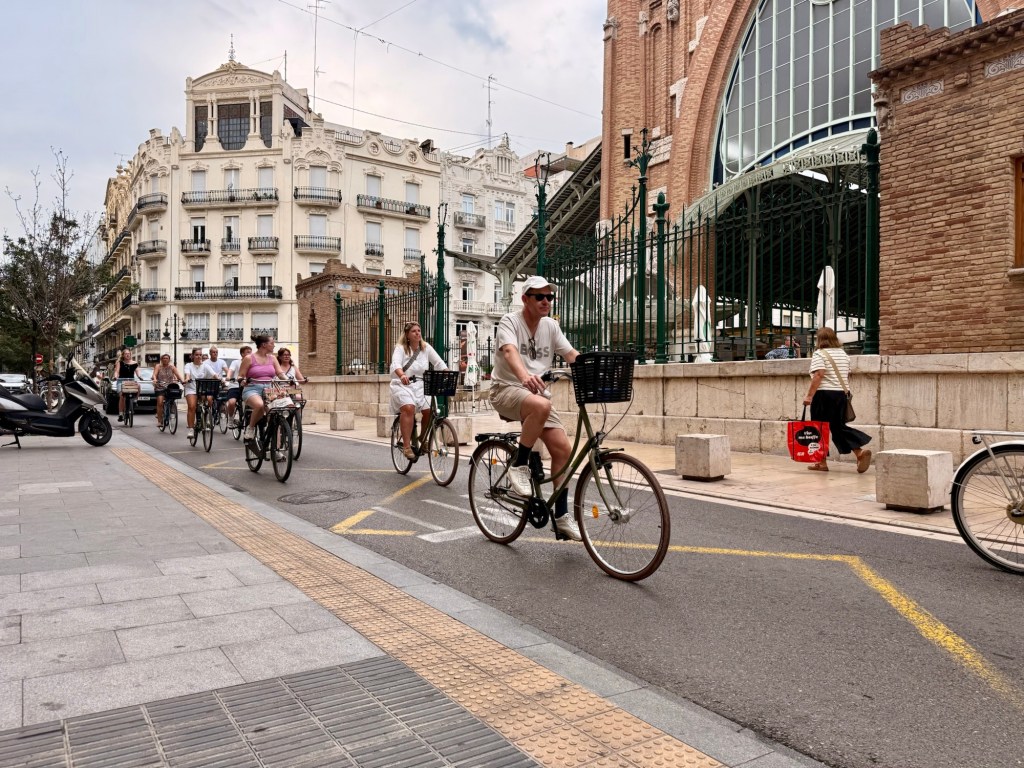
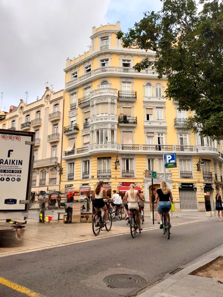
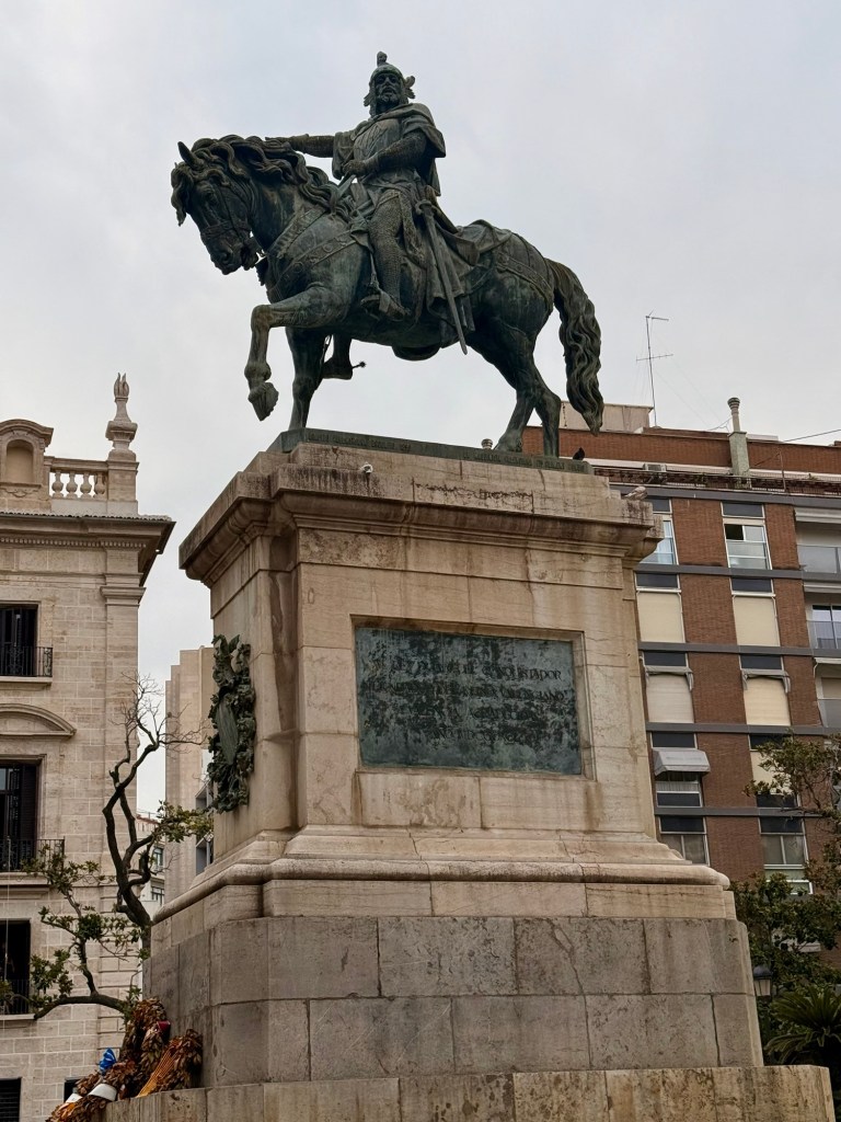
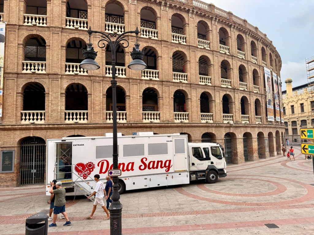
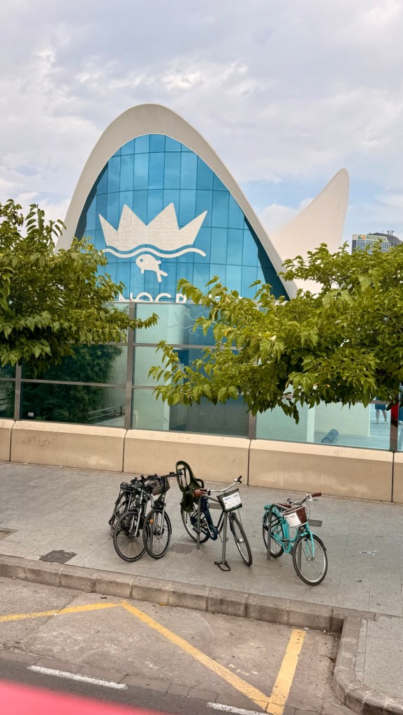
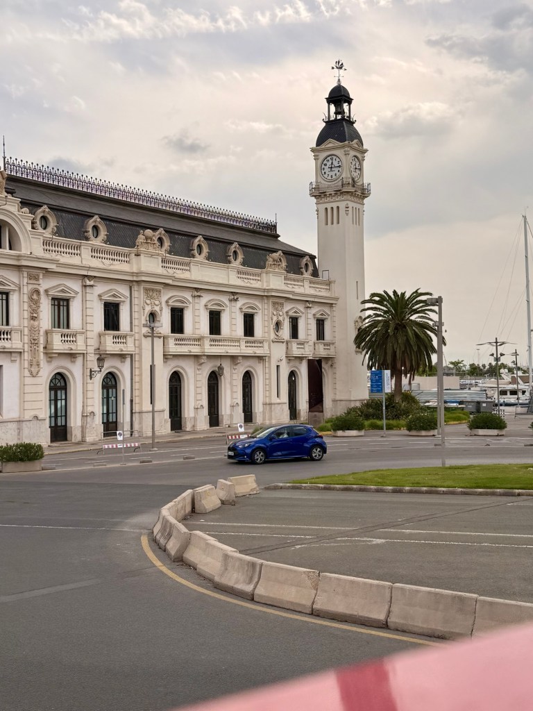
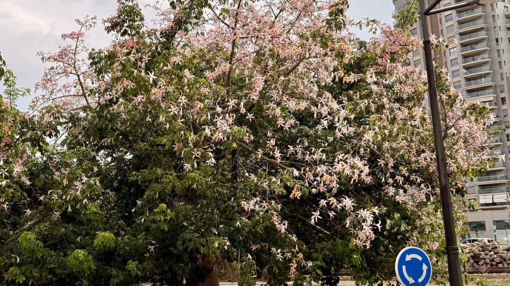
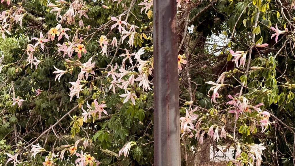
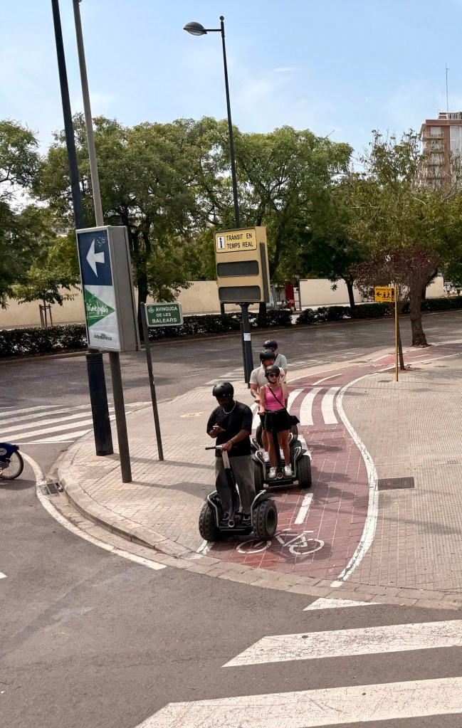
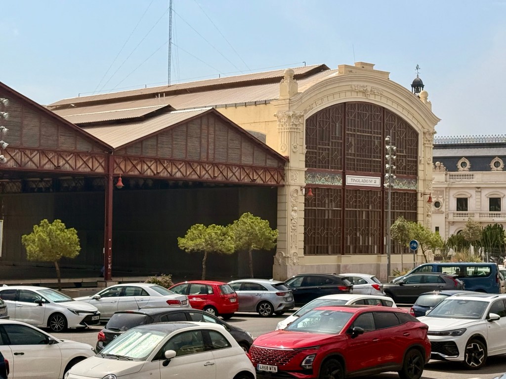
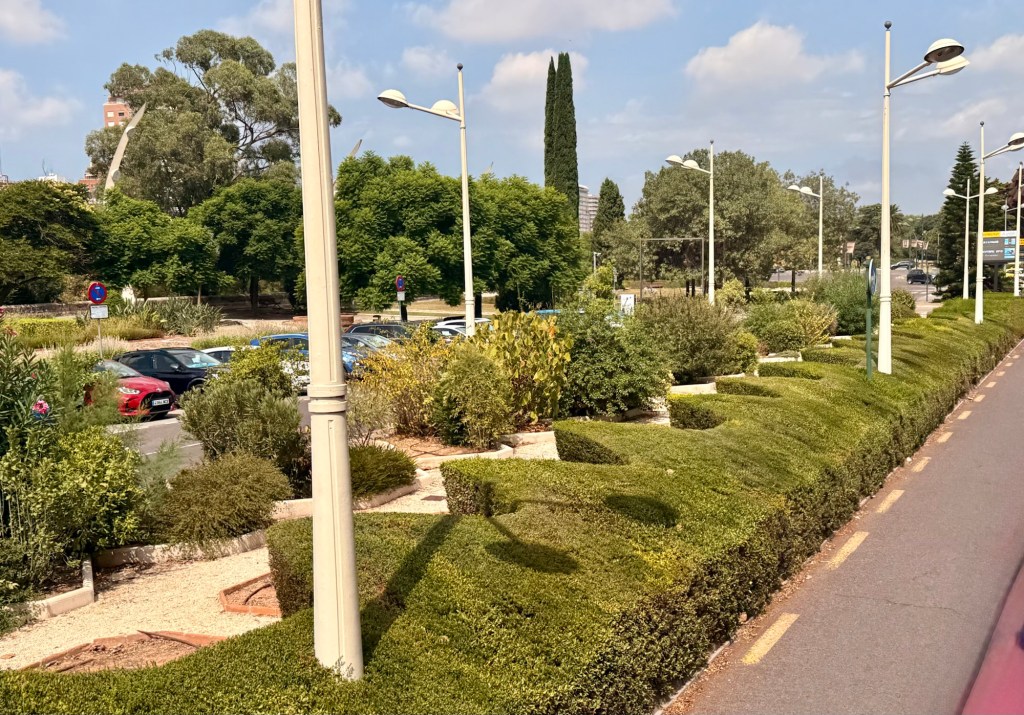
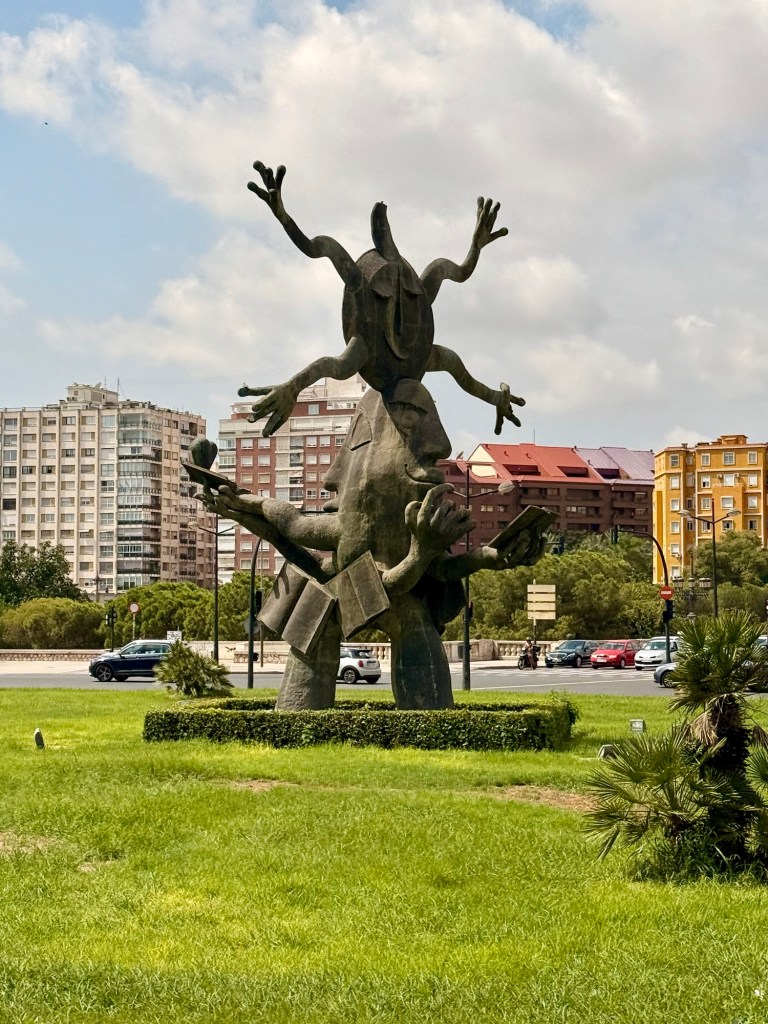
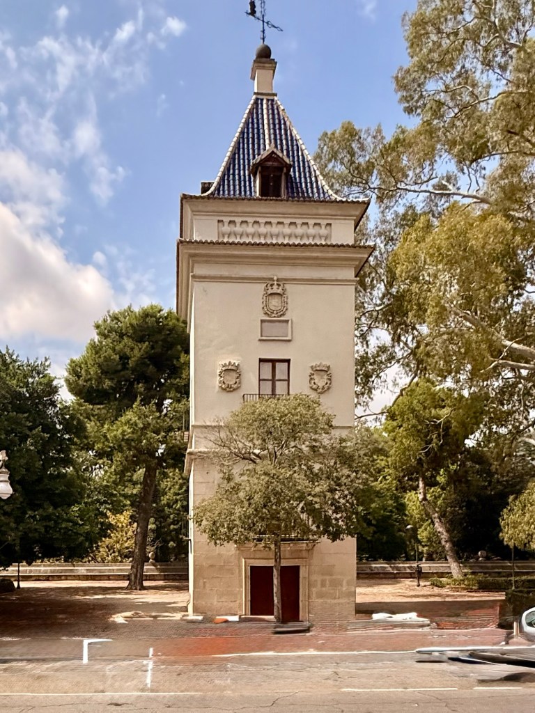
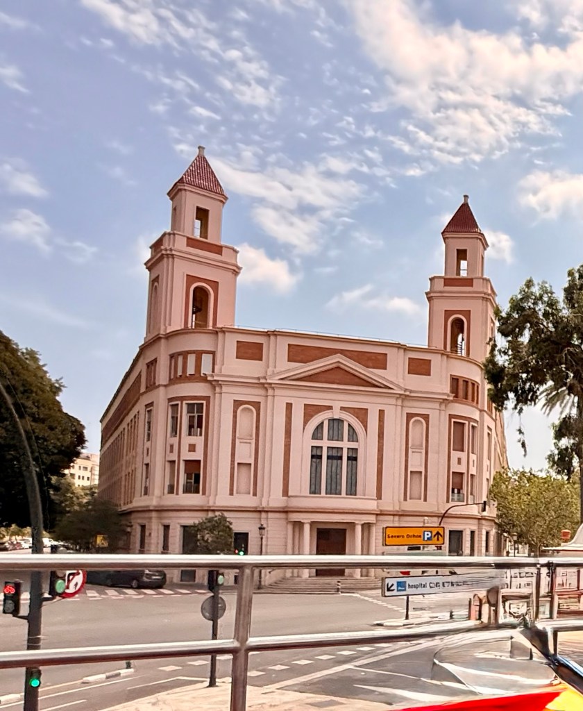
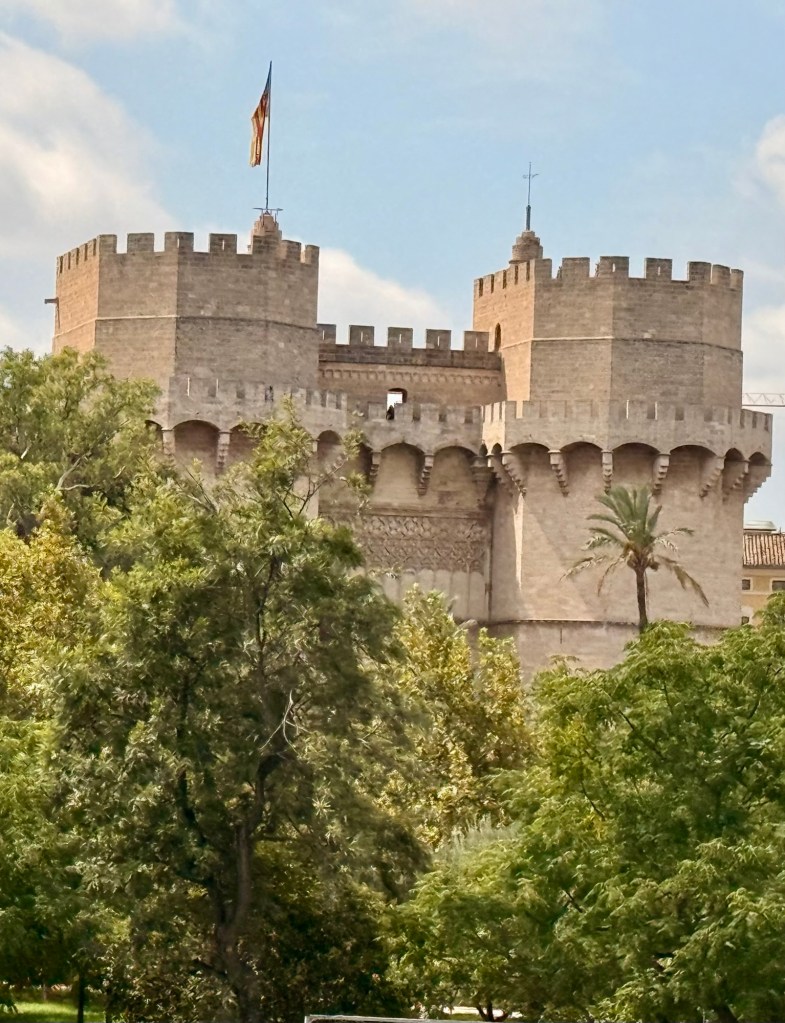
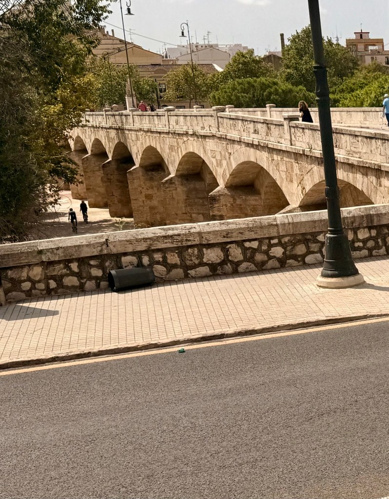
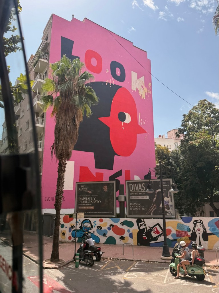
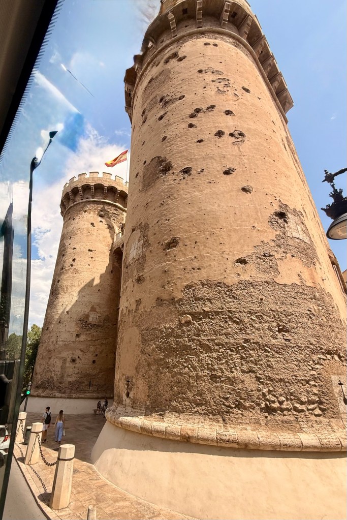
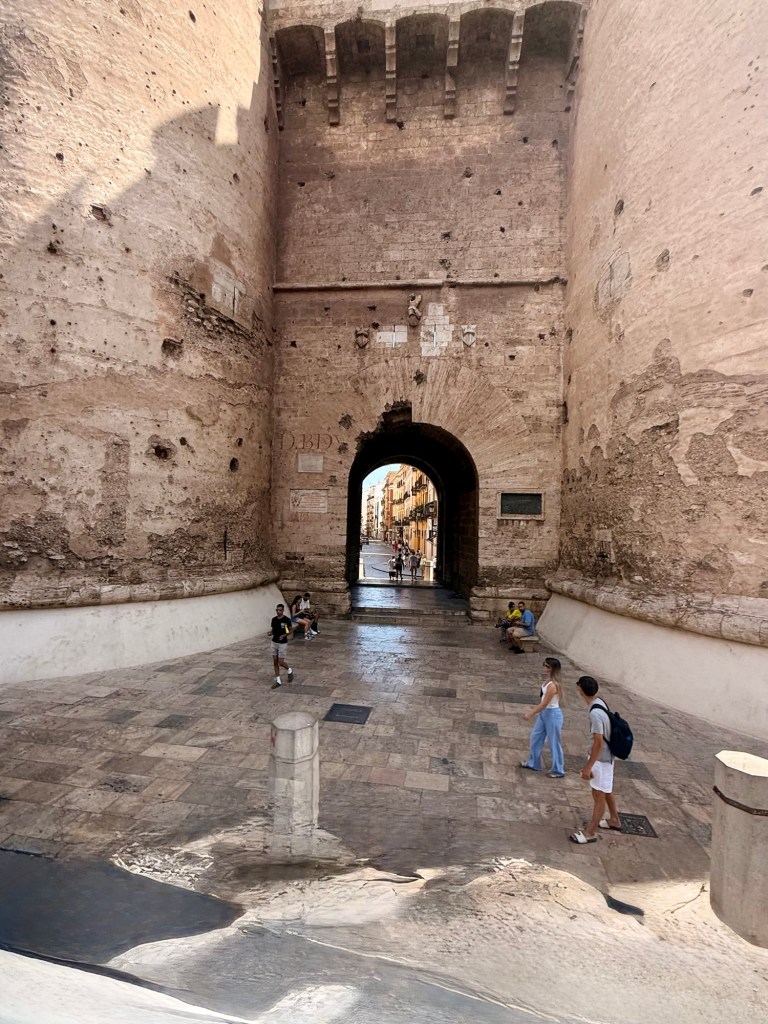
Gorgeous huge entrance doorsMercat ColomBicycle tourMonument to James 1Banco de ValenciaSo many gorgeous buildingsOld bull fighting arenaOceanographic part of Arts and SciencesAt the harbourFloss silk treePlaya Las ArenasSegways?At the marinaCool hedge trimmingWeird statueCity walls (Torres de Serranos)from other side of old river bedThe park below the bridge is in the old river bedBioparc where animals run freeSome modern buildingsPart of old city wallsThe old entrance gates to the city…along with evidence of cannonballs during Napoleons siege of 1808Torres de Quart
As mentioned in an earlier posting, I don’t have enough space to continue posting. Pictures take up too much space. I will figure out what to do probably after I get home. At which time I will post anything going forward.
We arrived back in Dover completing our cruise to Greenland etc on the 21st. From there we arrived by bus to Gatwick airport hours and hours before our flight was to take to Valencia, Spain. And then that was delayed.
At last we did arrive. I had difficulty getting through immigration cuz my little finger of my right hand doesn’t straighten flat out for fingerprinting …. had to use the left hand instead.
At our accommodation, OMG, it will be an experience we won’t likely forget. First off, this is an AirBnB (which I have never had an experience dealing with before), so no reception, nobody to help get in. I was sent instructions by WhatsApp. WhatsApp requires wifi. There is wifi available once you get into the suite (???). Hmmmm! We fiddled with the code at the front door to no avail but a couple of gals were exiting so we got through that hurdle. (We have since got a code from another resident). Then we take up the elevator that we could barely fit in…. To the 5th floor (cuz our room number is 504). BTW, in Europe the first floor is “0” so I guess we are actually on the 6th level. Well, we get off the elevator there are no doors that say 504, only numbers in the “teens”. Oh but, heh…. It says puerta 14 on the instructions. There are some more codes and the door 14 opens. And then there is the 504. And some more electronic key but we cannot get it to open so after multiple tries we see another option on the text…. That has numbers but I cannot open it, D can though. What a procedure….. like trying to get into Fort Knox.
I will not be sending anymore posts for the next week… til we are back home…. I don’t think.
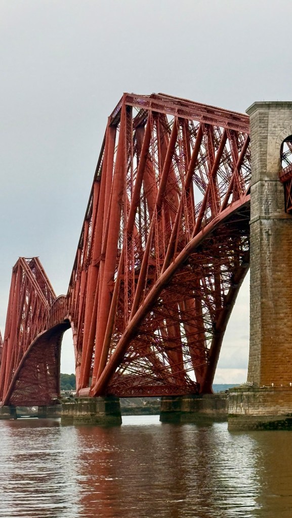
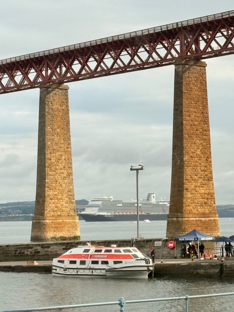
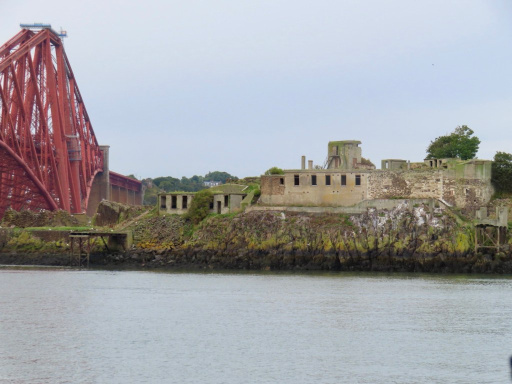
Famous for the rail bridge built in 1890 over the Firth of Fourth.
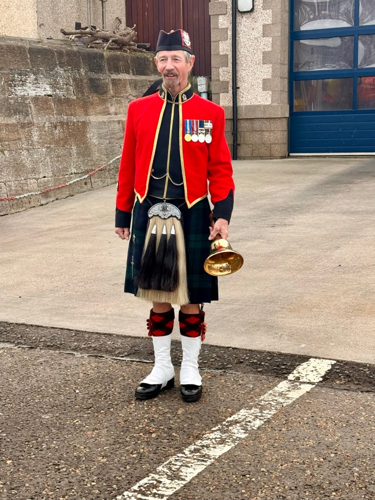
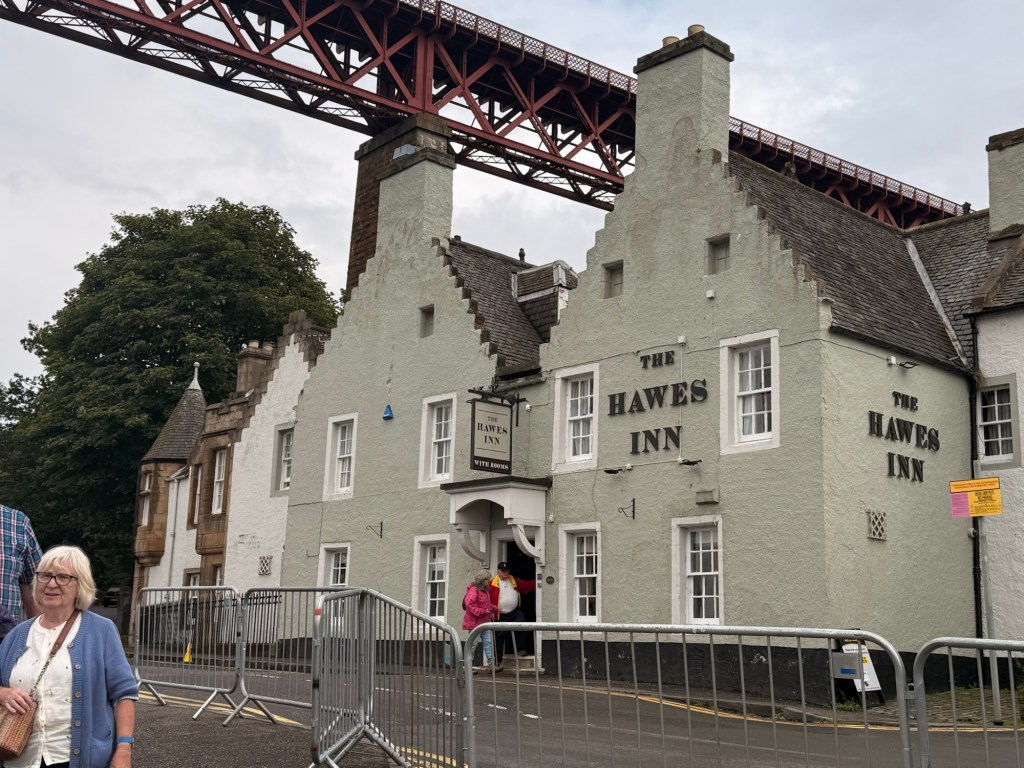
My comment when I saw this bridge was that it looked like a “Mechano” set Greeter On the pier in South QueensferryOn the way back to the ship I noticed this abandoned whatever just below the bridge
On east coast of Scotland, the capital is Edinburgh but smaller than Glasgow. There are 3 sections to the country…. Border area near England, central belt is 65-70 miles across Scotland at this point and the Highland which is 2/3 of the total area of the country.
Barley is grown for whiskey but there is not enough so have to import it from Ukraine (before the war there) Hungary and Poland.
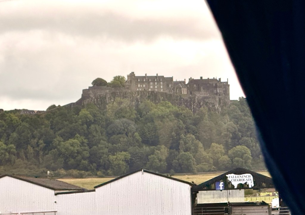
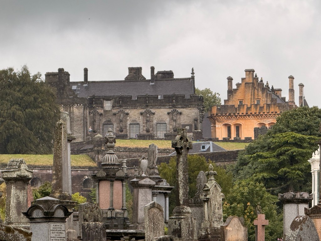
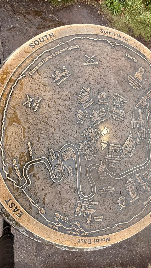
At Stirling….had to be taken by intruders before they could take the rest of the country. It is famous for the Castle and battles. From 1315-1707 Scotland was independent. Britain took it for next 300 years but got it back in 1999.
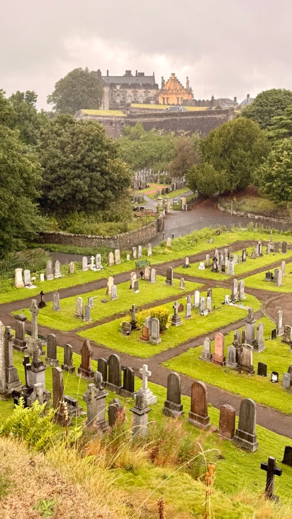
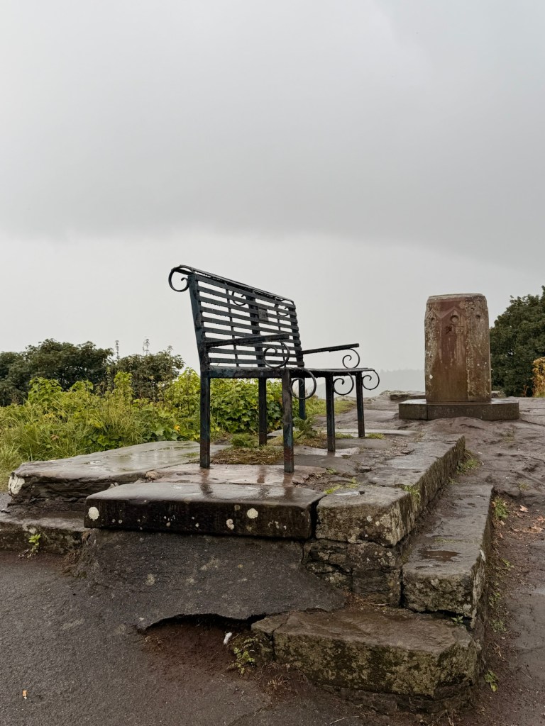
It was one extremely wet day when I climbed that hill to the bench to see the castle
2-3000 castles in the country with 1500 still standing, atleast in part.
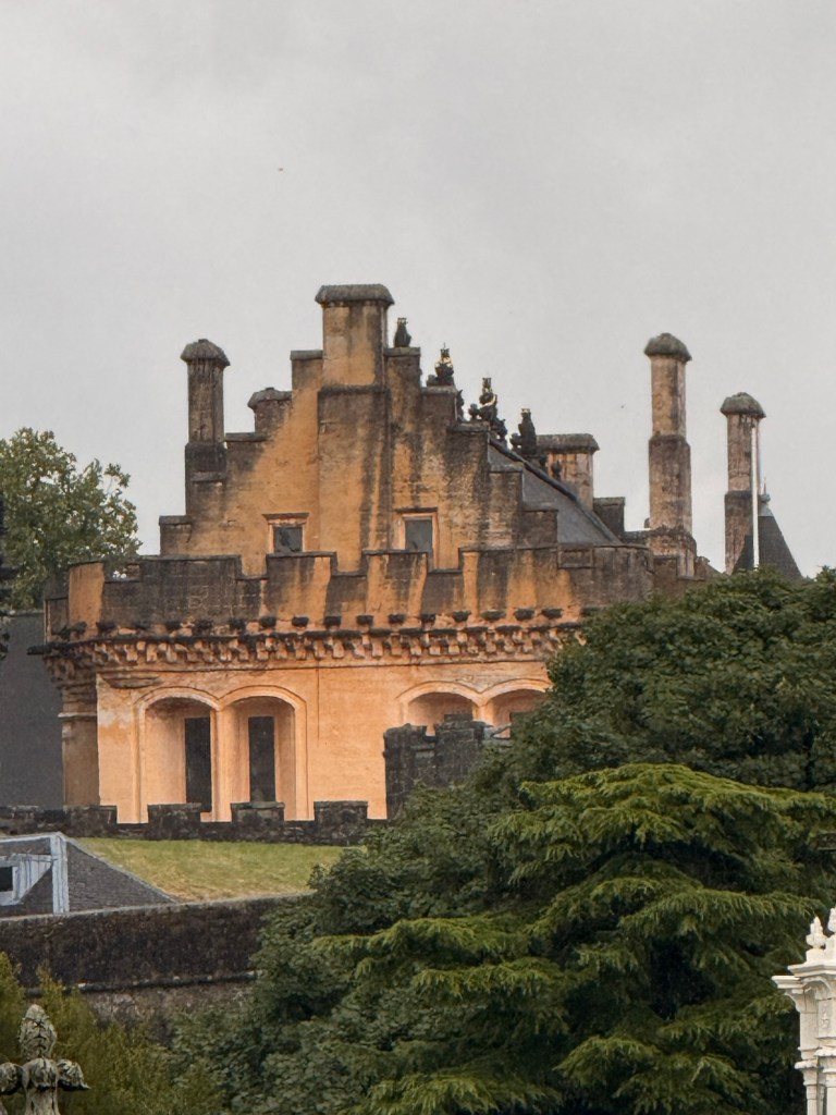
There is a military castle there and one in Edinburgh. From the early 12th century….. 1000 years being built and rebuilt several times. It has a royal palace, royal chapel, great hall (built 600 year ago). It is built on flat plain on top of an extinct Volcano. Part of it was covered in gold leaf. That came off over time. Now it is painted yellow.
William Wallace 6’6””
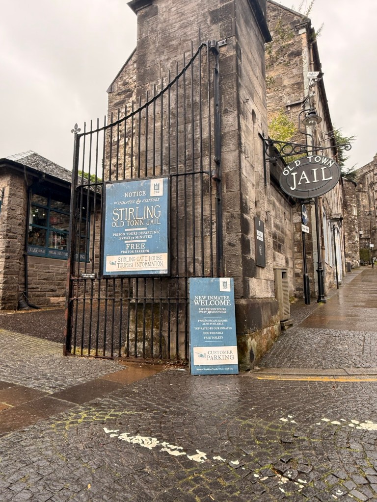
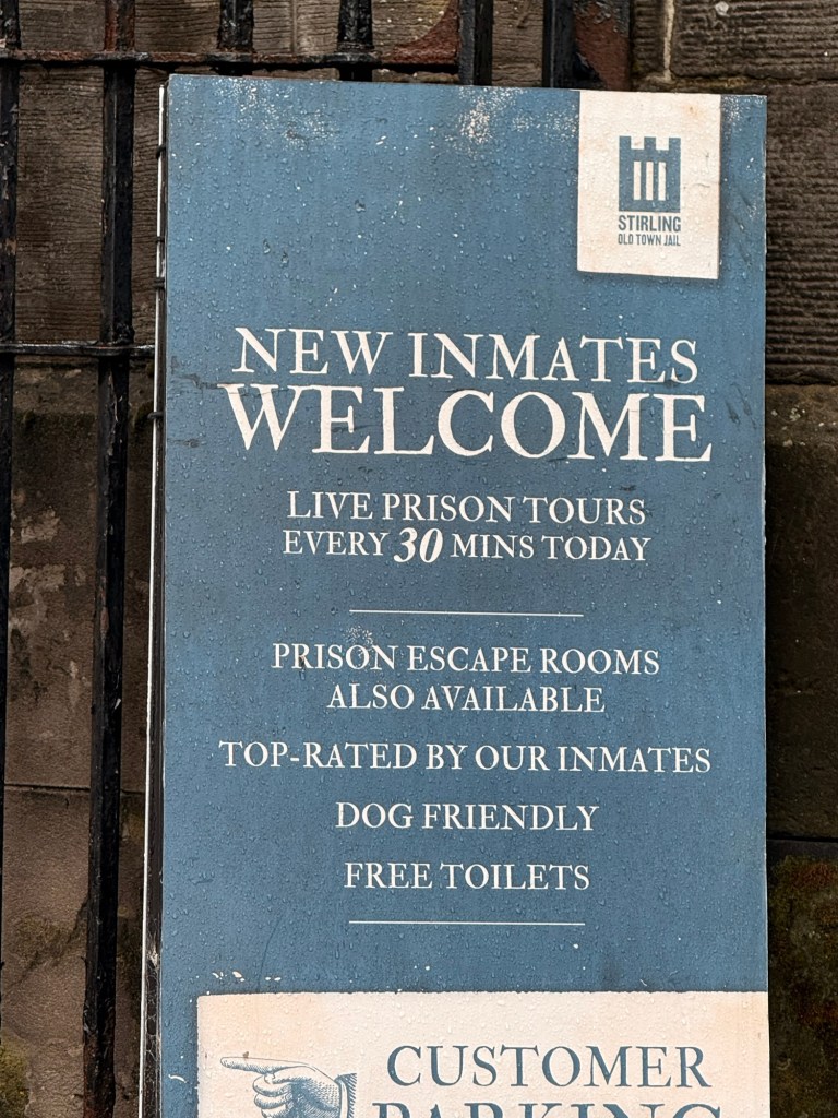
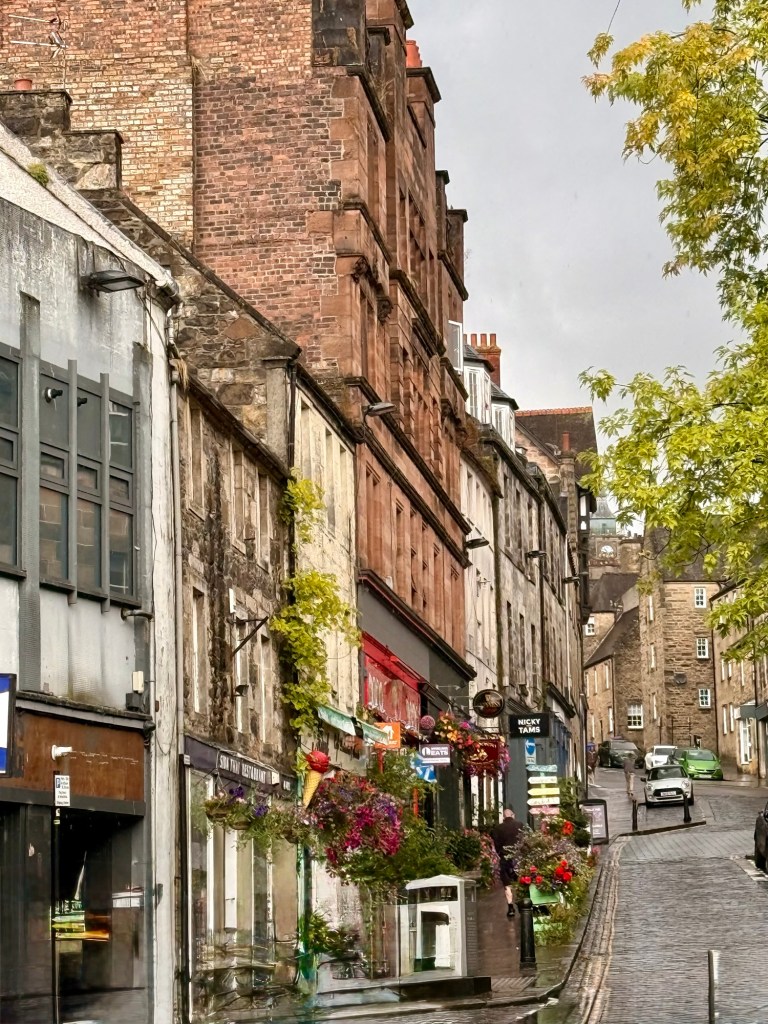
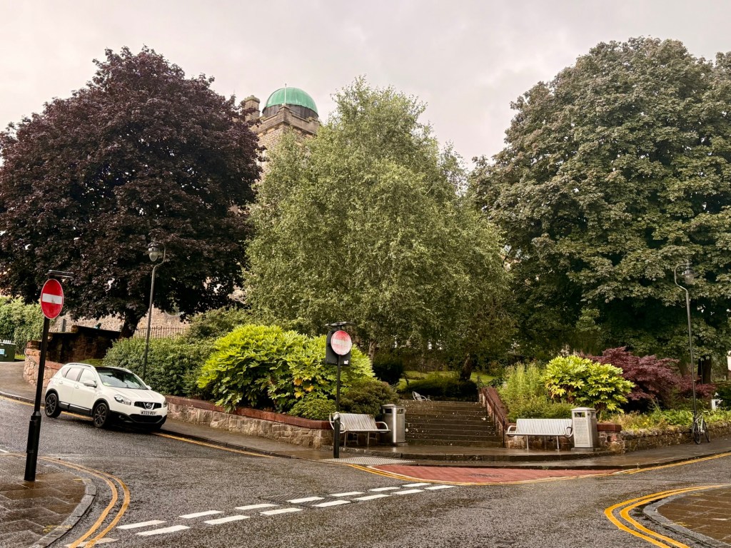
These pictures are of the town of Stirling, a beautiful old town if it wasn’t so darned wet.
150 year old houses as we leave the town are worth 500,000£ or 940,000 CAD
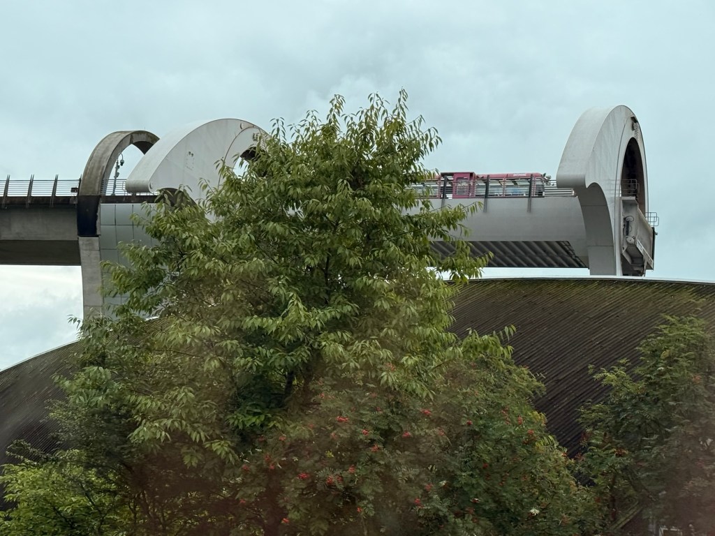
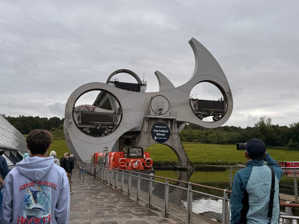
Falkirk Wheel began with 2 canals, from east to west, one (no locks necessary) from Edinburgh, 4th of Clyde from Glasgow 1890 started
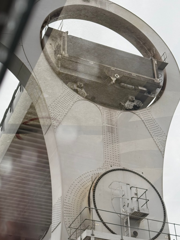
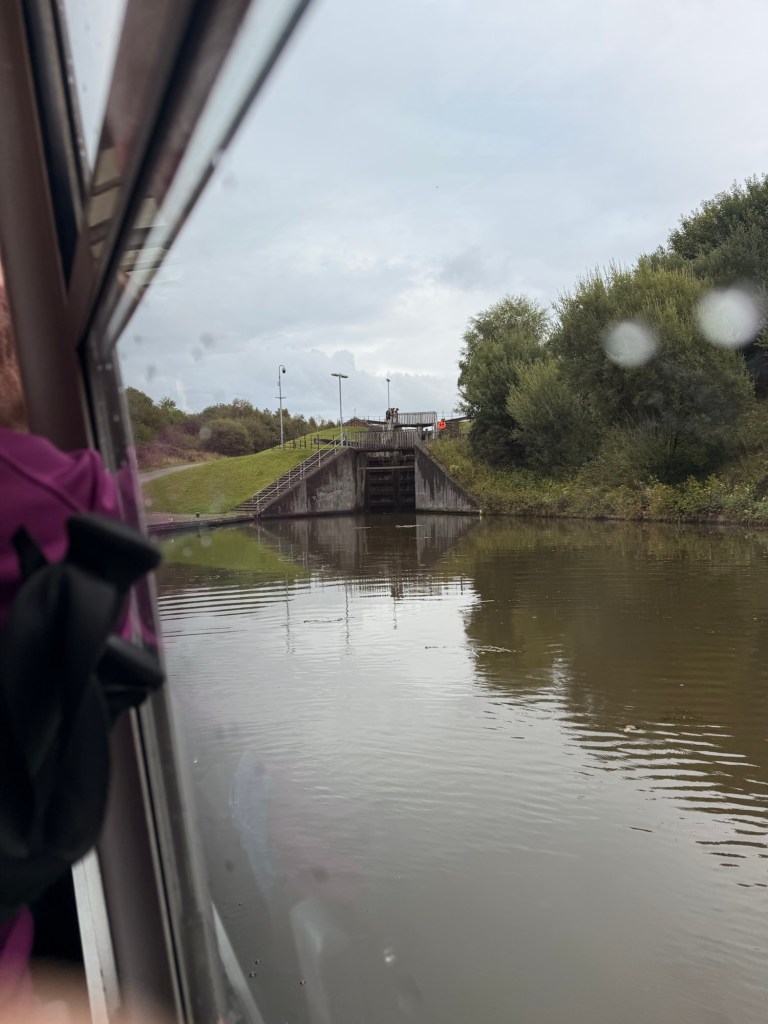
Circular (was later filled in) 1 miles across radius had 11 lochs … reopened for millennium, rotating big wheel raises 35 metres to the Union canal. It takes only 5 minutes. The wheel raises boats by 24 metres (79 ft), but the Union Canal is still 11 metres (36 ft) higher than the aqueduct which meets the wheel. Boats must also pass through a pair of locks between the top of the wheel and the Union Canal. The wheel is the only one of its kind in the world.
In the 1960s the canals and its use were abandoned til now. It will take 3 years to restore canals etc. The “Wheel” was built for the Millenium but was not opened to 2002. 4th of Clyde canals from Glasglow are being replaced.
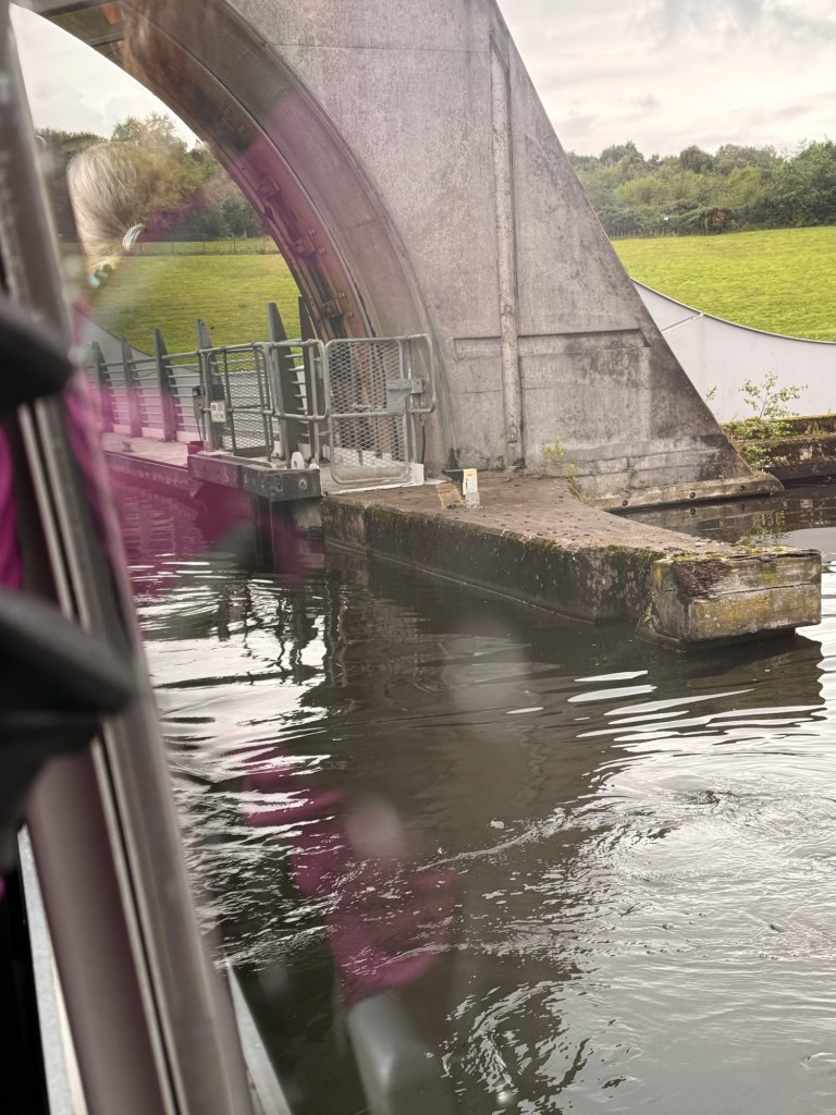
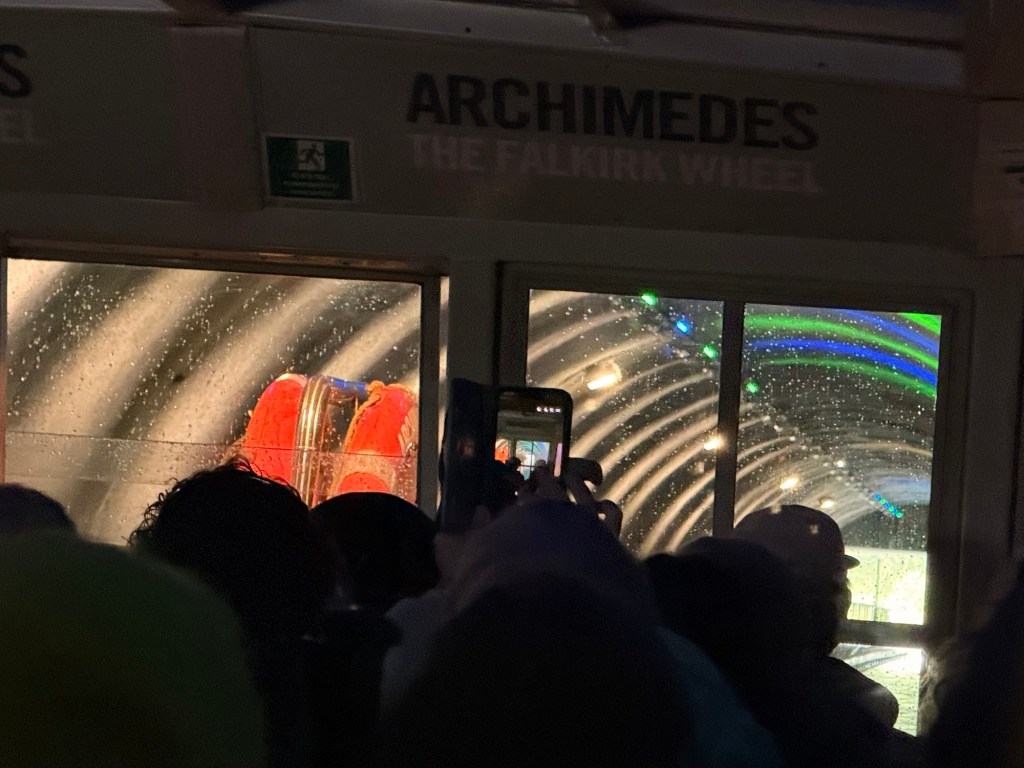
Going into a barge that rides the wheel. 24metres above …100 metres thru tunnel,
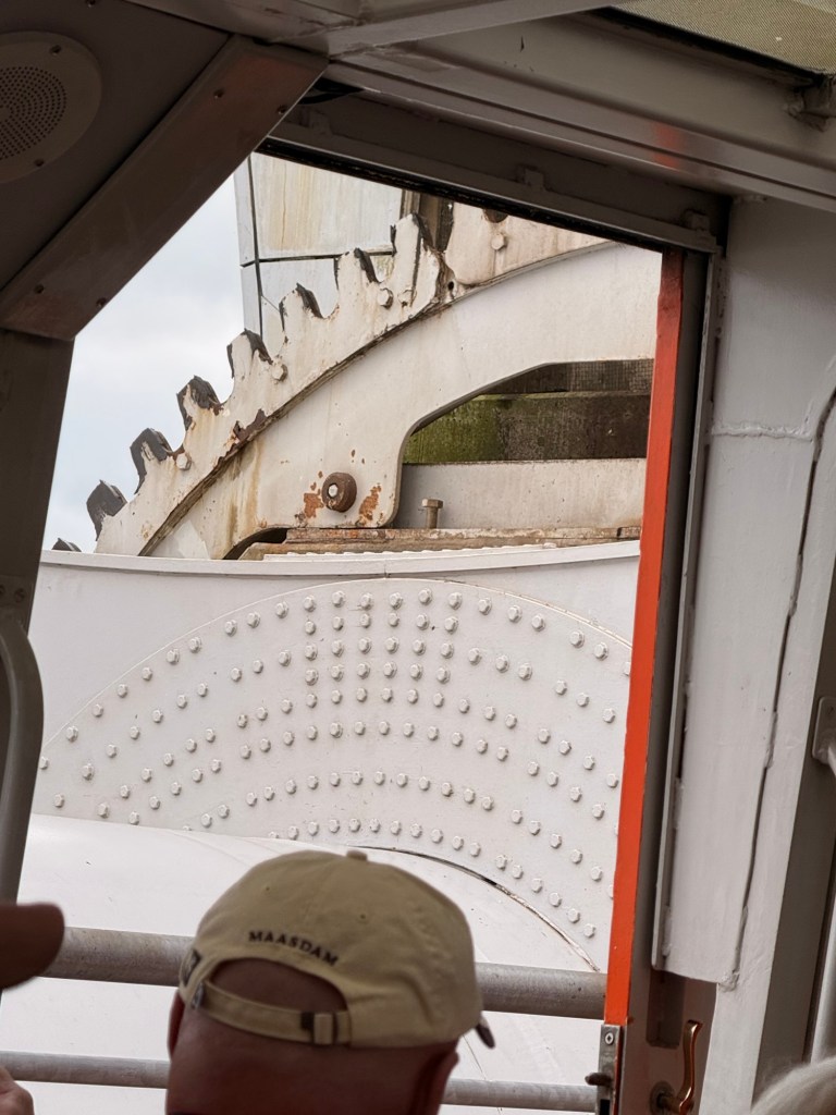
Archimedes, part of identity… operation of the weight. Object replaces exact weight of water. 250 tons of water is evenly balanced with other 600 tons in total with both boats, water and people. It uses only enough energy to bring 8 kettles to boil. Tunnel is under the Antonine wall (built by the Romans) is the name of other boat. The canals were started in 1770 and opened 1790. 1822 they were linked.
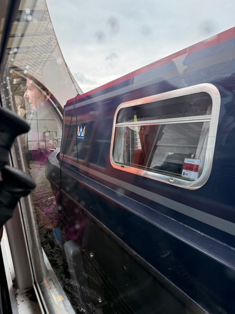
At the end of the tunnel is the start of more canals and lochsA canal boat joined us on the ride upThe Falkirk Wheel is an amazing engineering feat for sure… wow!
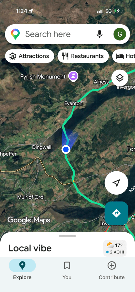
My tour is to Cawdor Castle and Culloden Battlefield
Again it looks like it’s going to be a sunny day, atleast for a while.
The name Invergorden means …mouth of the river Gorden.
Gaels came from the west and Vikings from the north where they clashed.
Whiskey means in the Gaelic language “water of life”….. supposedly was good for headaches and the liver…. 🤣 . It has to be aged in a cask for at least 3 years. It has to be atleast 35% alcohol by volume…. & no more “the midges teardrop”. “The finest whiskey is any that is free”. Black on the houses are caused from a fungus.
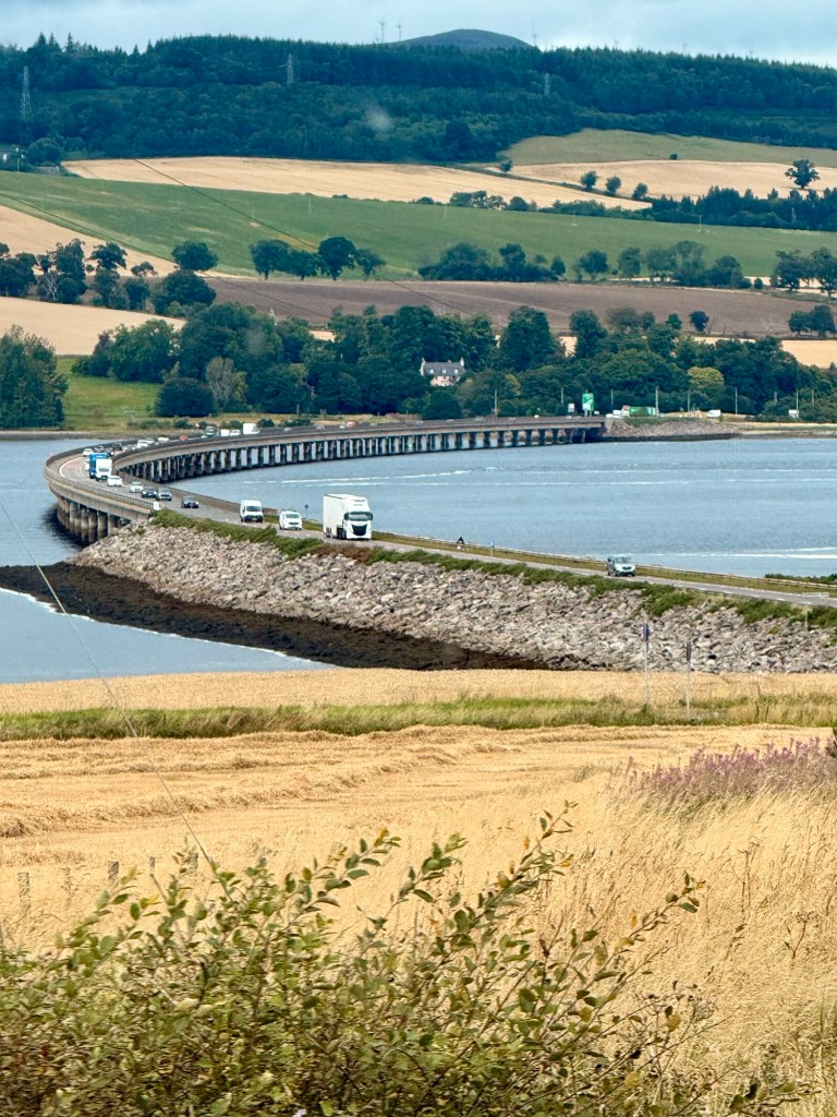
Cromarty Firth…. Deep water ….lots of dolphins and seals (some saw dolphins but I didn’t) . Cromarty Bridge a mile long built in 1979. In 1982 the bridge over mouth of river Ness was when they got rid of all ferries. There was oil discovered in Firth. They used royalties from oil to build bridges and got rid of them.
Duncan Grant distillery was burnt down in 1689 by Jacobites.
Scottish Highlands are older mountains than the Himalayas …. and so had more time to erode… hence lower.
The Frasers, DeBrus, Roses, etc as well as the Grants later, Anglo-Norman knights and nobles from France…. 7-800 years ago. They were clan chiefs but not “Scottish”. They had been invited by King David and William.
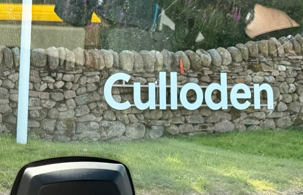
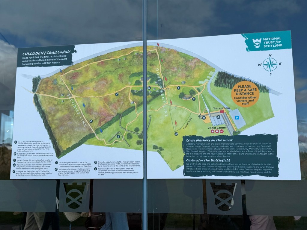
Battle of Culloden …In 1746
Prince Charles (leading the Jacobites) attempted to retake Britains government forces led by Cumberland. 1500-2000 Jacobite to 300 government deaths…. in 1 hour.
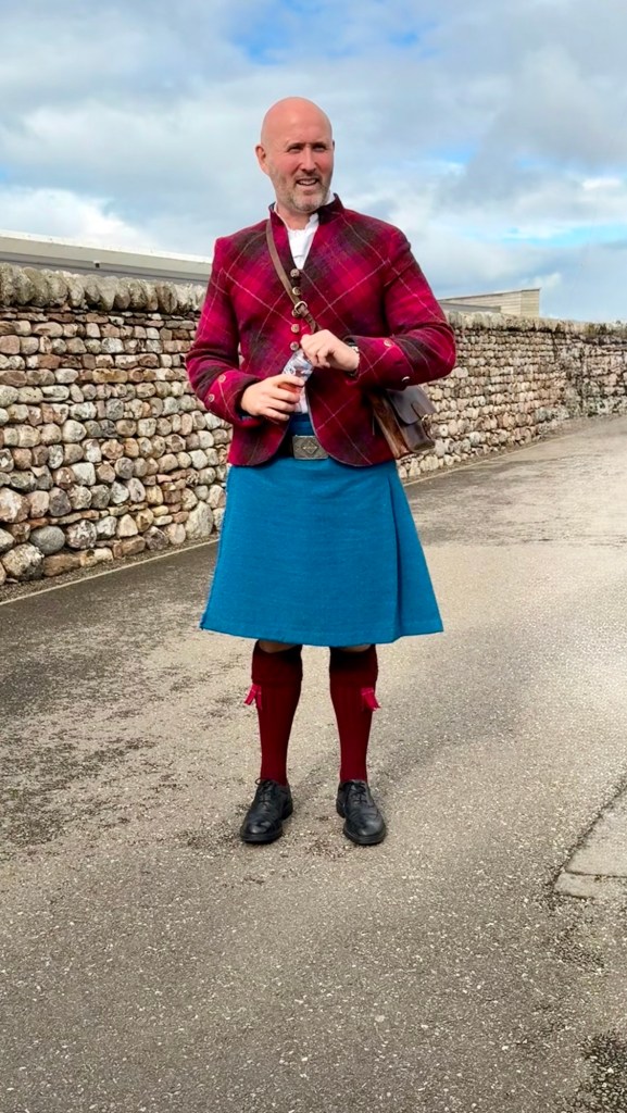
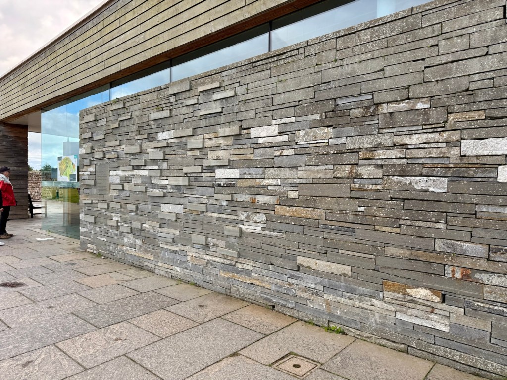
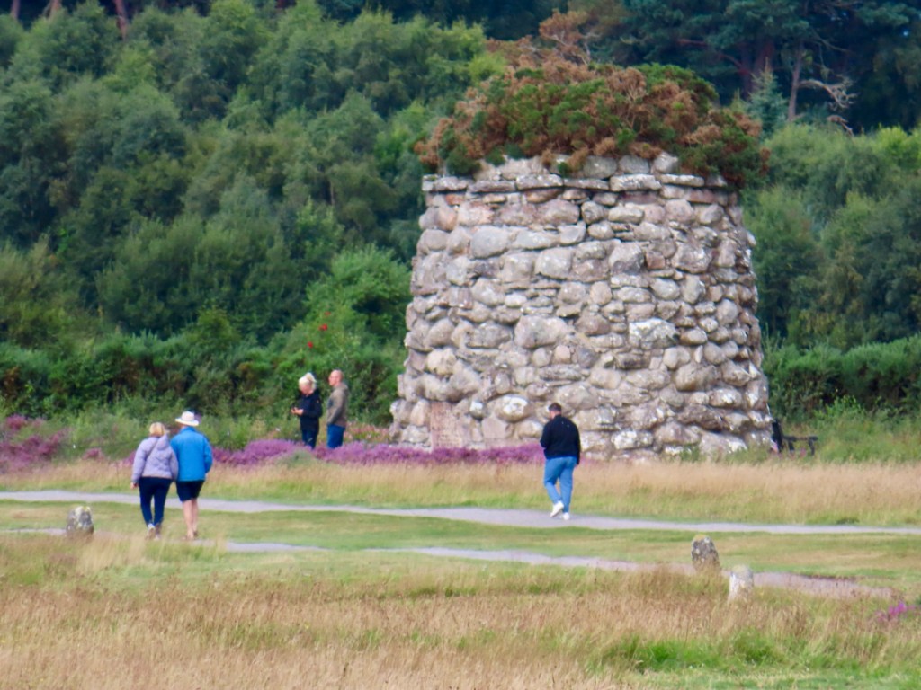
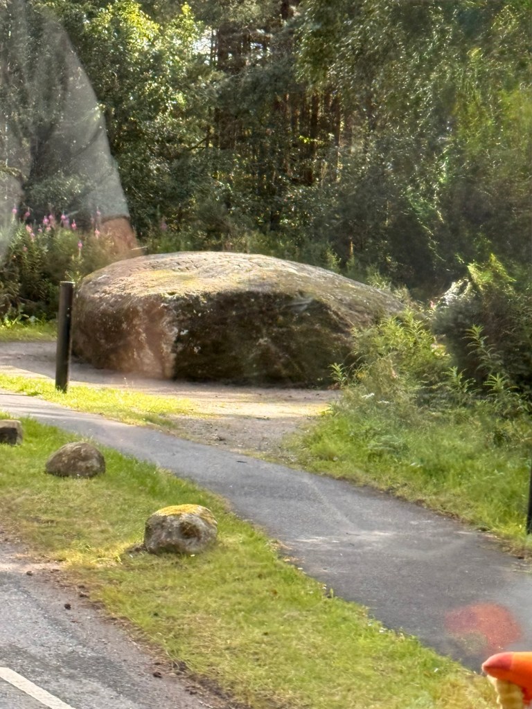
Our guide The wall out side the centre shows the number of government deaths to left & to right (this one) all Jacobites…. huge difference. This shows government deathsCumberland stone
Women didn’t have to take husband name before the battle of Culloden.
Lazy census takers didn’t want to put in “a” in Mac so in some cases was dropped…to Mc.
Red door means owned by clan chief.
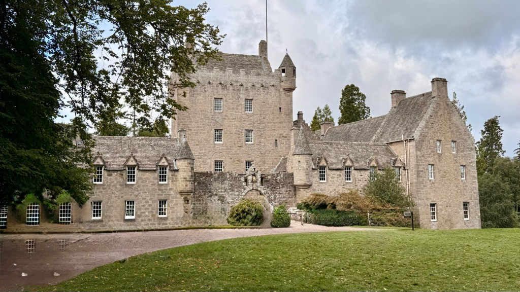
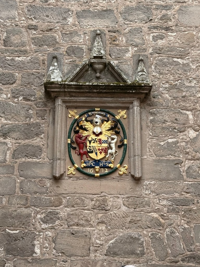
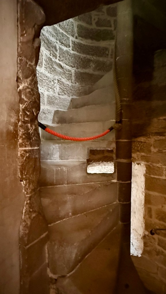
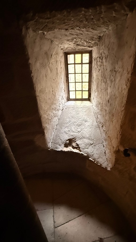
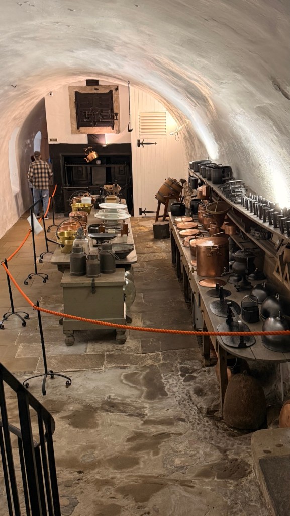
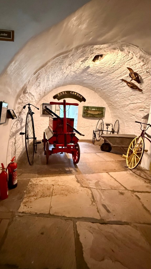
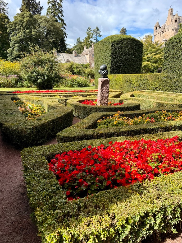
Cawdor Castle started to be built in the late 14th century ….4 story tower, 400 years ago.
Way back in the day, the Scot’s didn’t wear anything on their feet… never til their teens. It made their feet very tough. They could tell direction from the way the heather was growing. They would wear hose around calves to protect them. If it was terribly cold they might wear moccasins with holes to let water out.
Kailey means to come together. Lots of wheat and barley grown.
Kilt was like blanket… could be used for a. Umber of things such as a tent.
Unfortunately I have used pretty much all available space with pictures and videos on my blogs. My choice is to delete media from past blogs or pay a whole lot more each year. I have deleted some videos already so have been able to sort of finish this posting. We will see how far I get. If I can’t I guess you’ll have to wait til I get home and I can decide what to do.
Our tour today is the Isle of Lewis ….a heritage tour. The Outer Hebrides with a population of 19,000, is the largest British island.
Coming into Stornoway
We are doing the west side circular tour… the best Iron Age tour
Lord Leverhulme (founder of Lever Bros. He had also made money in heroin trade.) in 1818, bought the island including Lews Castle, when he was 67 yrs. for 143,000£.
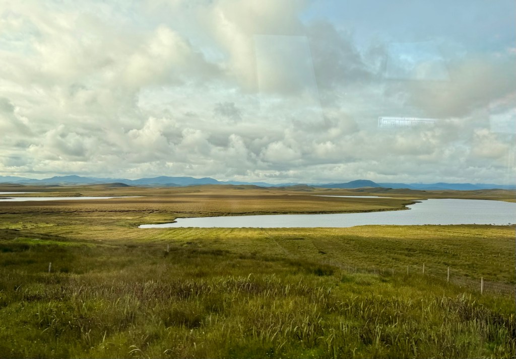
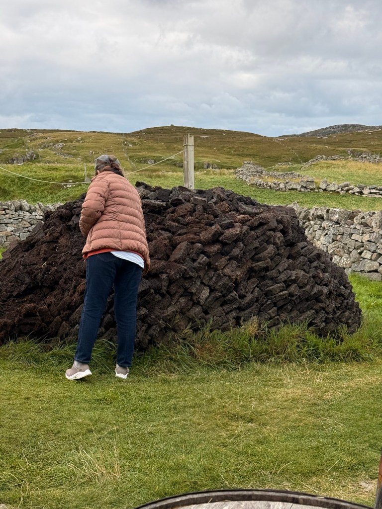
Peat fields is spagnum moss. A layer of grass is first taken off. The peat is under it. It is cut into 35-36 cm blocks…. up to 2 layers only so that it can regrow. They let it dry for some time. It takes 18,000 peat blocks per year to use in each home. Apparently you have to ask the clerk of grazing for permission to harvest the peat. In some cases you may have to pay to cut.
Crofts
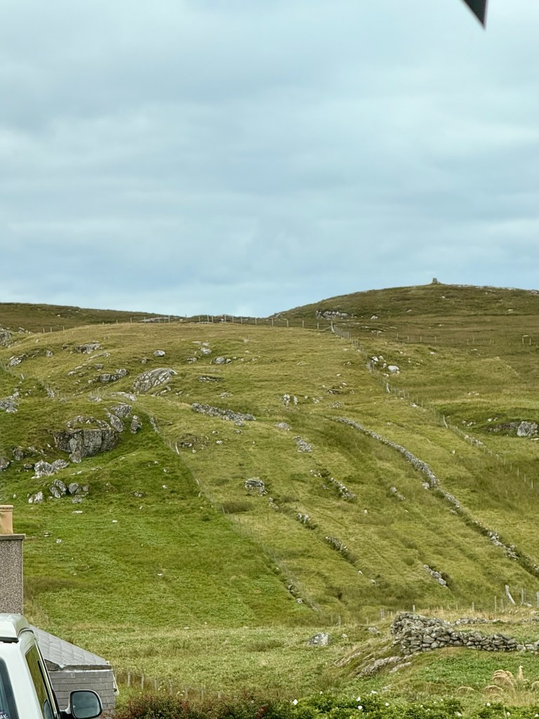
Harris is southern part…. Is rocky. 60,000 still speak the Gaelic (said “garlic”) language in the country. Parents have the choice to send their kids to go to Gaelic school.
5000 +years ago …Neolithic period it was not as wet, they could grow barley and other grains . There were trees. Now the trees are seen along the side of the road, were planted 25-30 years ago. They are pine ….not native so got invaded by insects. The insecticide they got had instructions in Russian that no one could understand. They mixed them anyway, killing some the trees. Now they only plant native species.
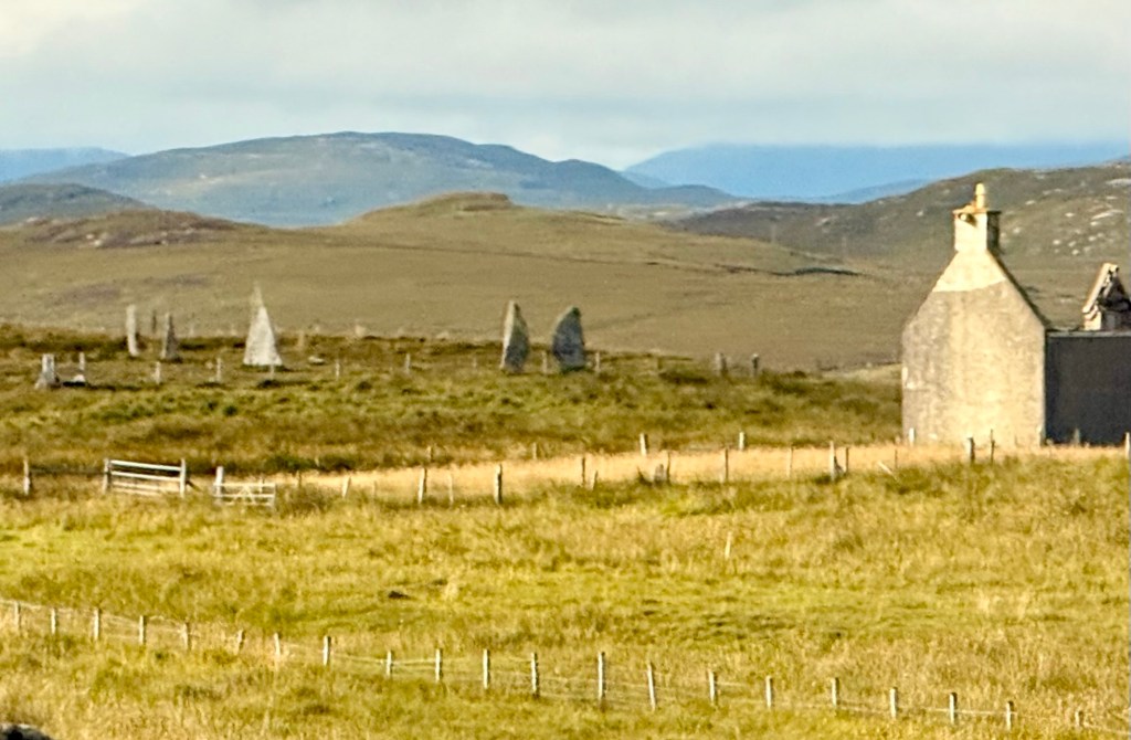
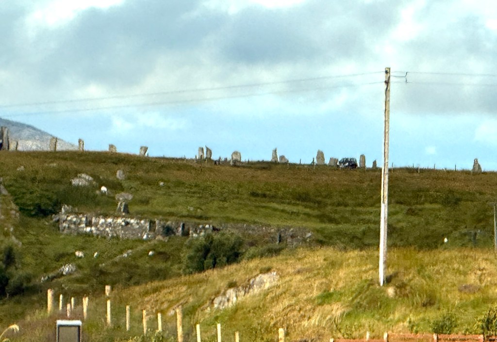
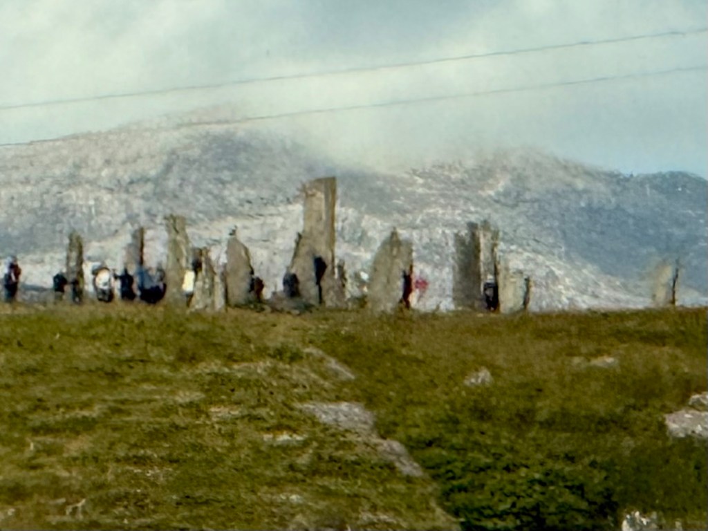
Callinish Standing Stones from 5000 years ago, 2000-3000 BC, predating Stonehenge. We did not go there but saw some others as we drove by.
Standing stones from 5000 years ago
Besides teachers and all hospital employees (doctors and nurses etc) that are employees of the government, the area employs people in fish farms (2nd after Norway), oil rig workers
90 cruise ship/year come so tourism. There is 6% unemployment.
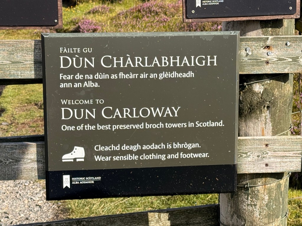
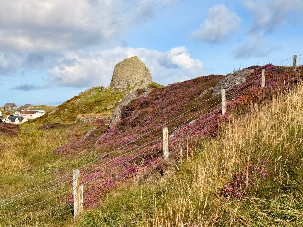
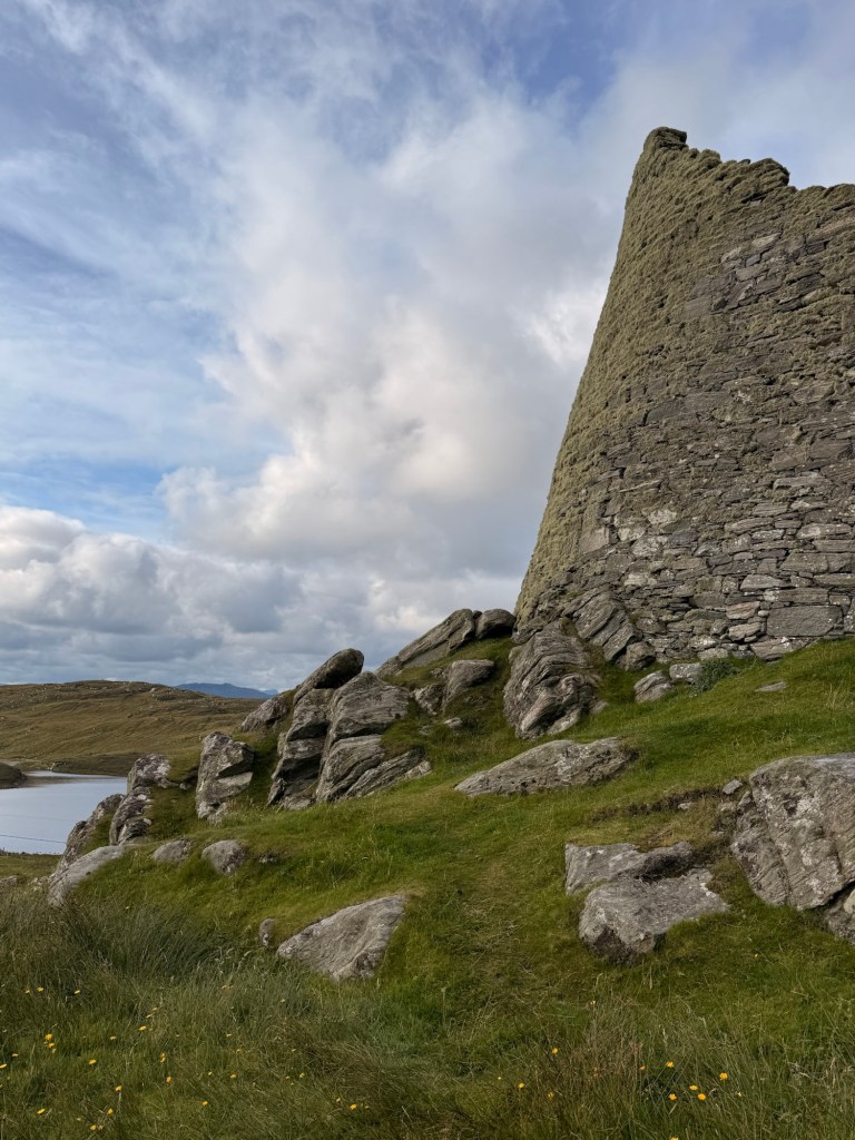
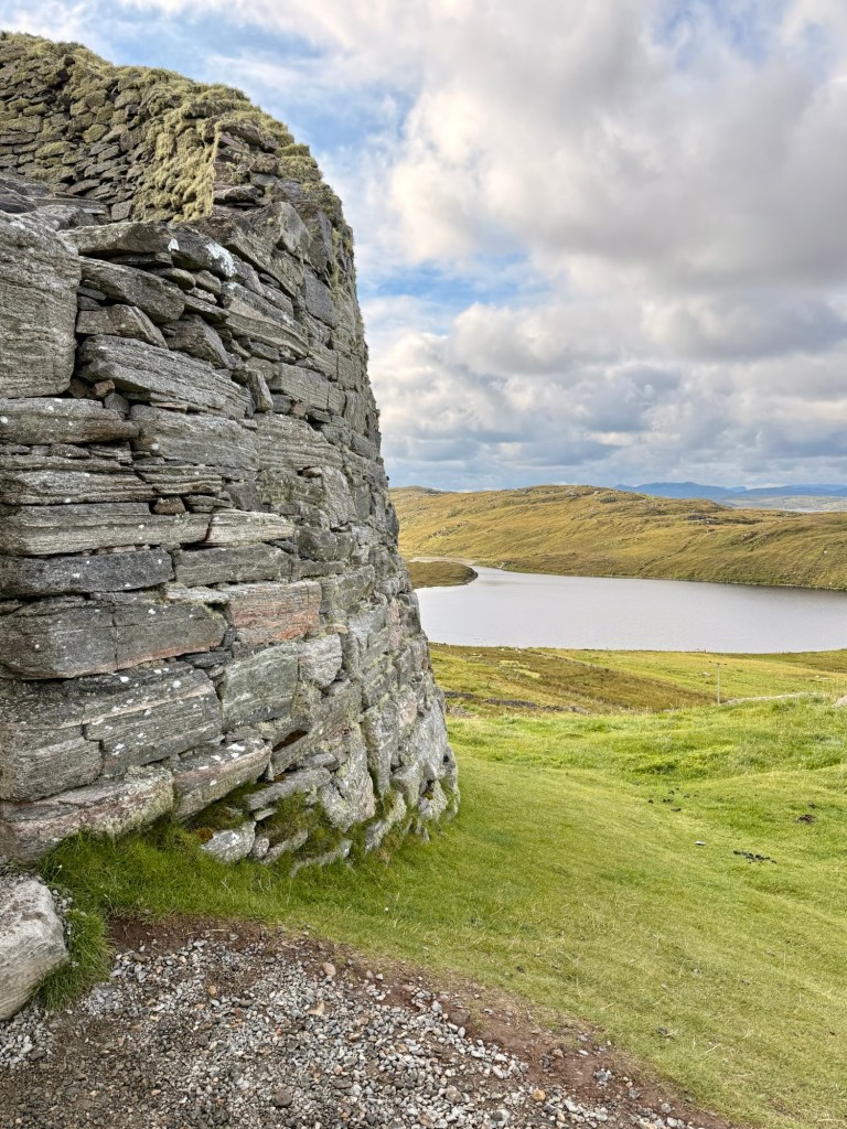
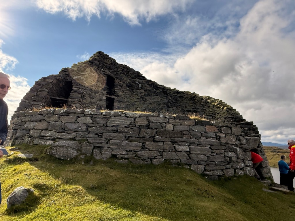
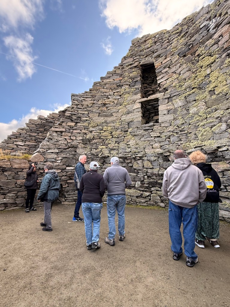
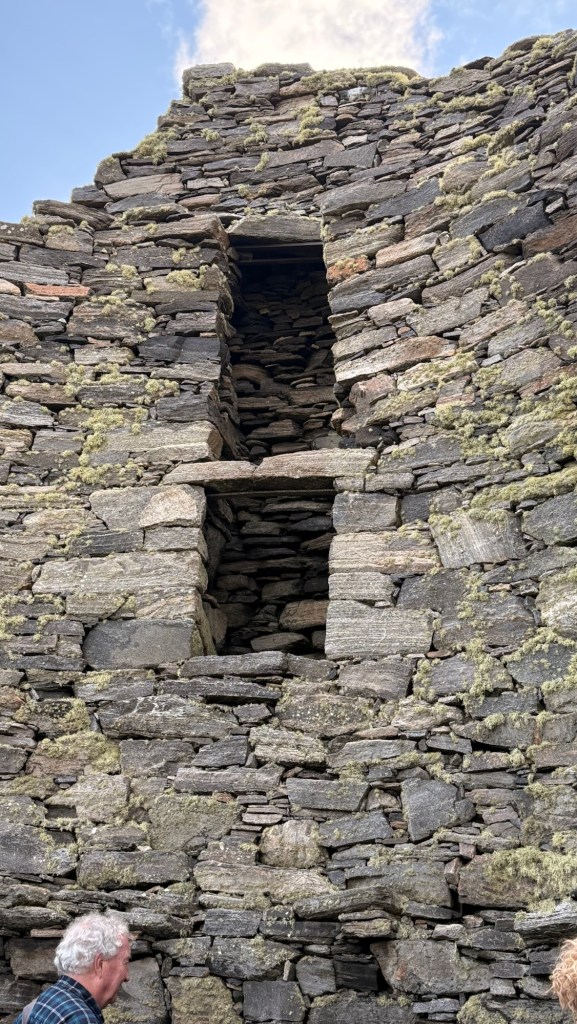
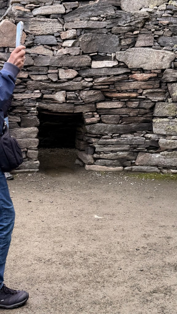
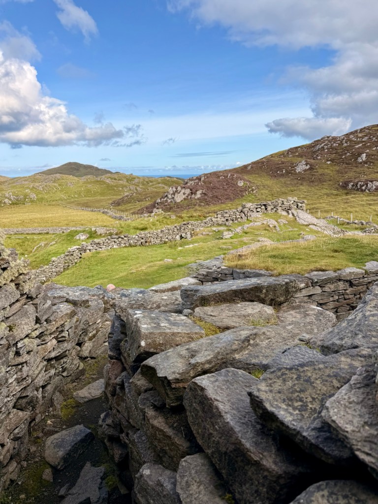
800-880 BC during the Iron Age, “Dun Charlabhaigh“ was built, probably by a wealthy family because there were wood beams used for inside support as well as the roof, when there were no trees left at the time. It is believed that it was a cattle economy at the time. The structure now stands at 9 metres high but was probably 13 originally with the roof.
1600…Morrison clan (stole cows) & hid in the broch in a fight with MacAuley family but they were all killed when they came out or were killed by the fire that was ignited .
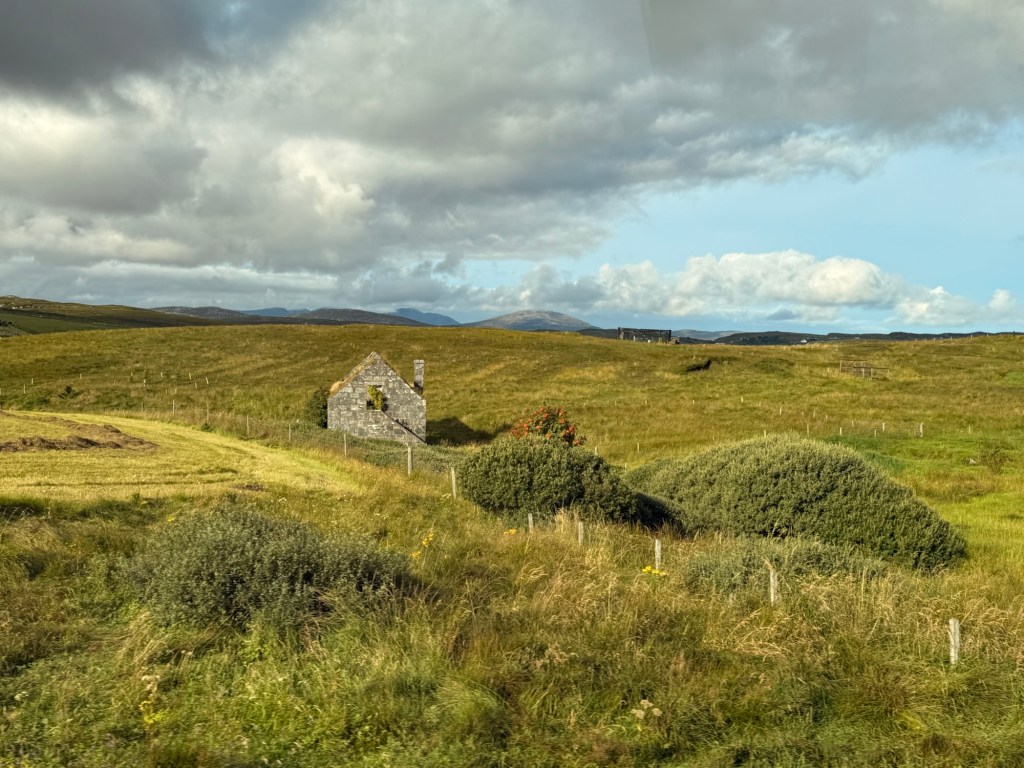
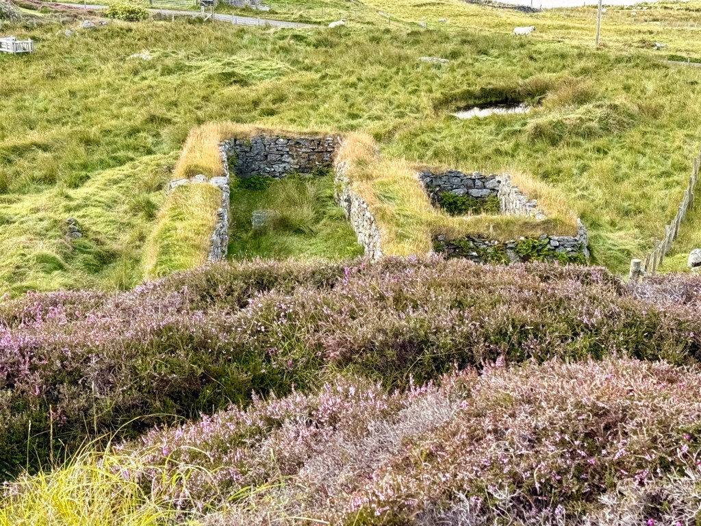
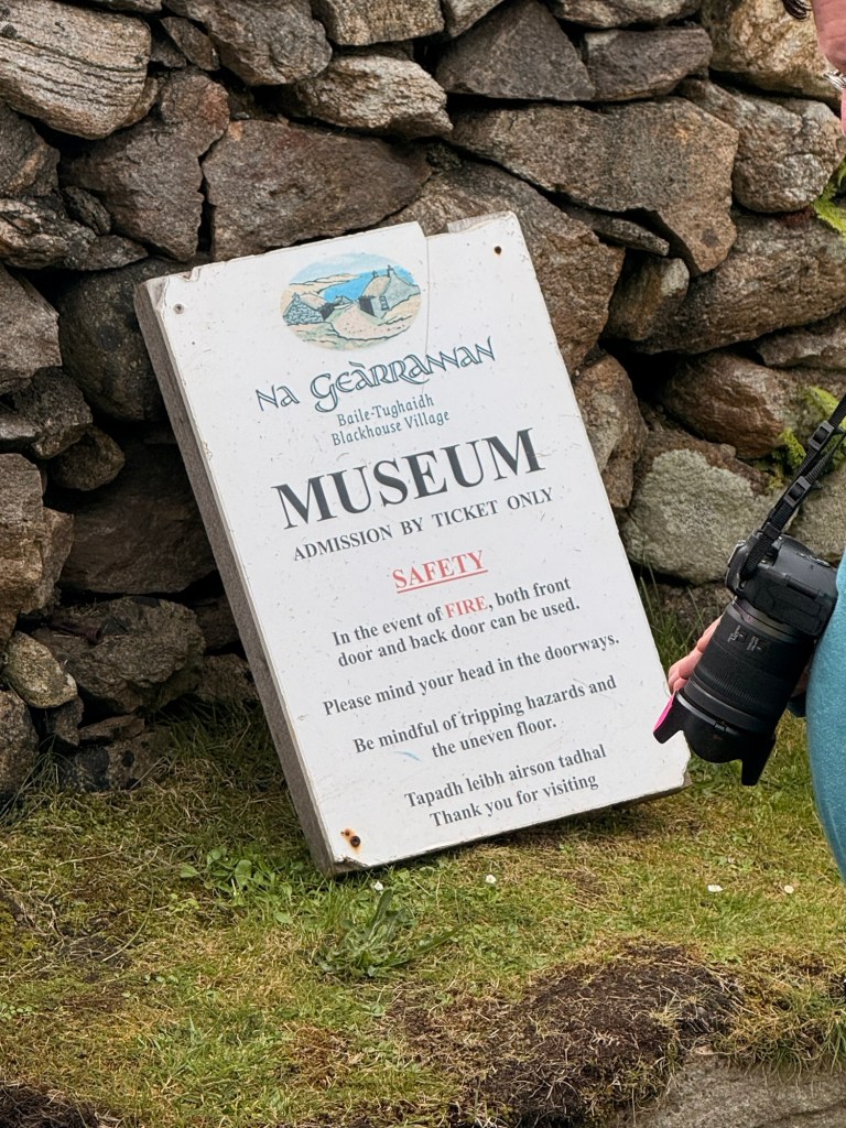
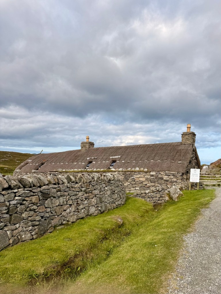
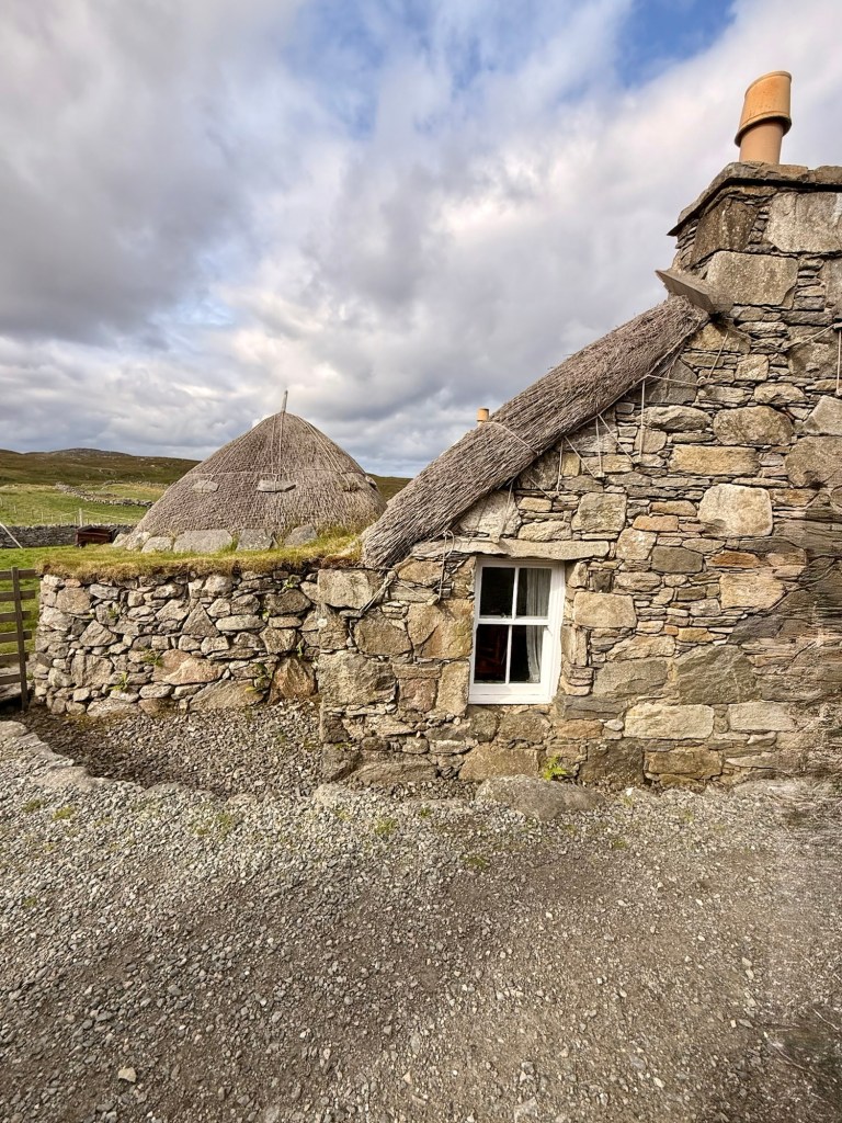
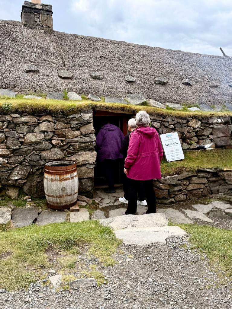
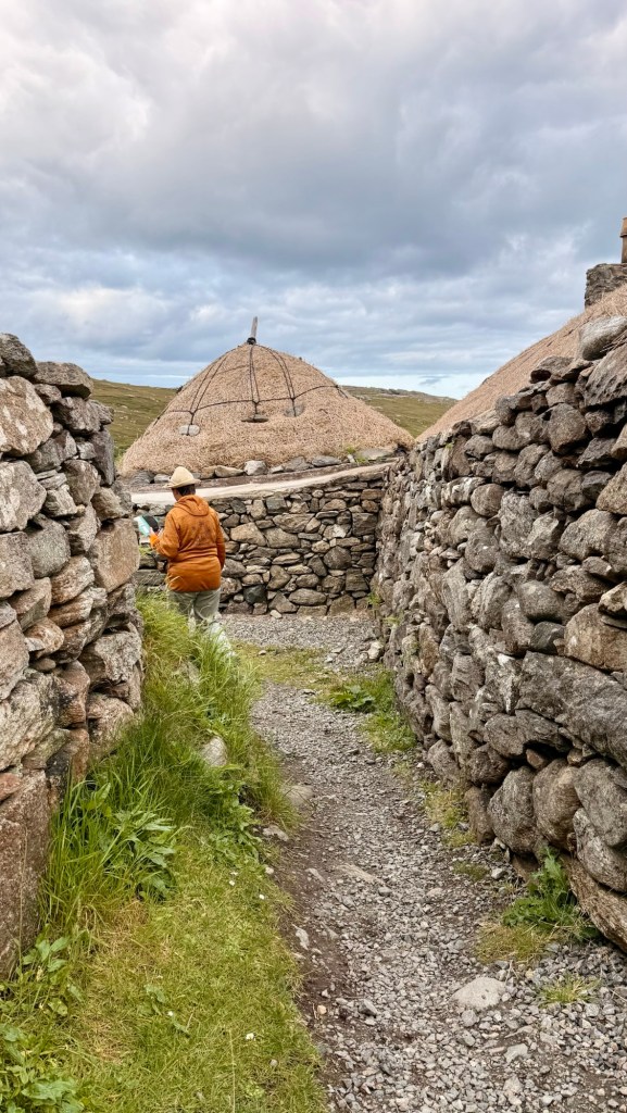
In the 800’s, Vikings came… brought Norse language and rectangular houses … black houses. Those houses were built on a slope… humans higher up, animals lower. They had thatched roofs. “Gearrannan” was the last of black-houses. Only old people were left in 1970s. They still milked cows up to 1960s in what is the museum now.
These were built in 1840-1850….. others were built before. Slope floor for drainage. Bronchitis was prevalent because of the smoke from peat, etc. Government made it that you had to add a centre wall to separate humans from animals . Wells were outside…. no running water inside. They used paraffin tilley oil lamps. Summer they lived in small buildings like summer camping out on the crofts, looked after animals & cut peat. Last resident of the black houses was in 1974.
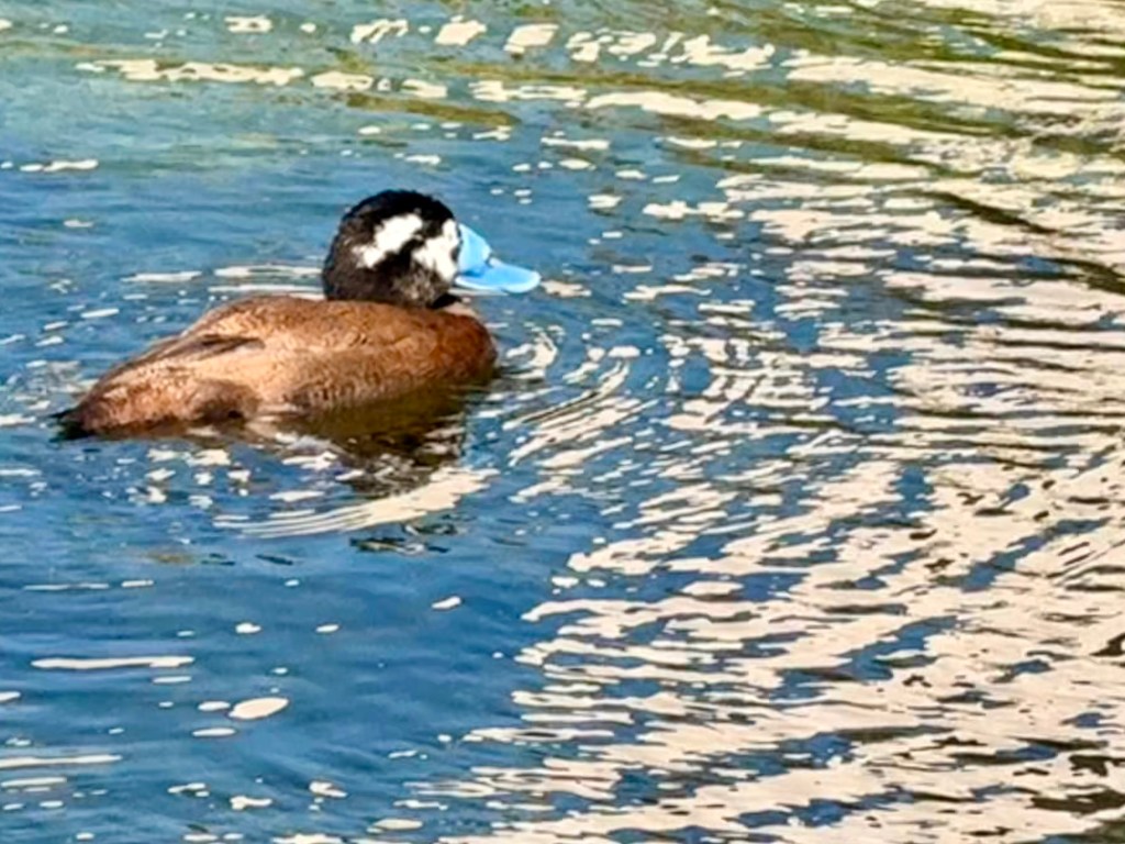
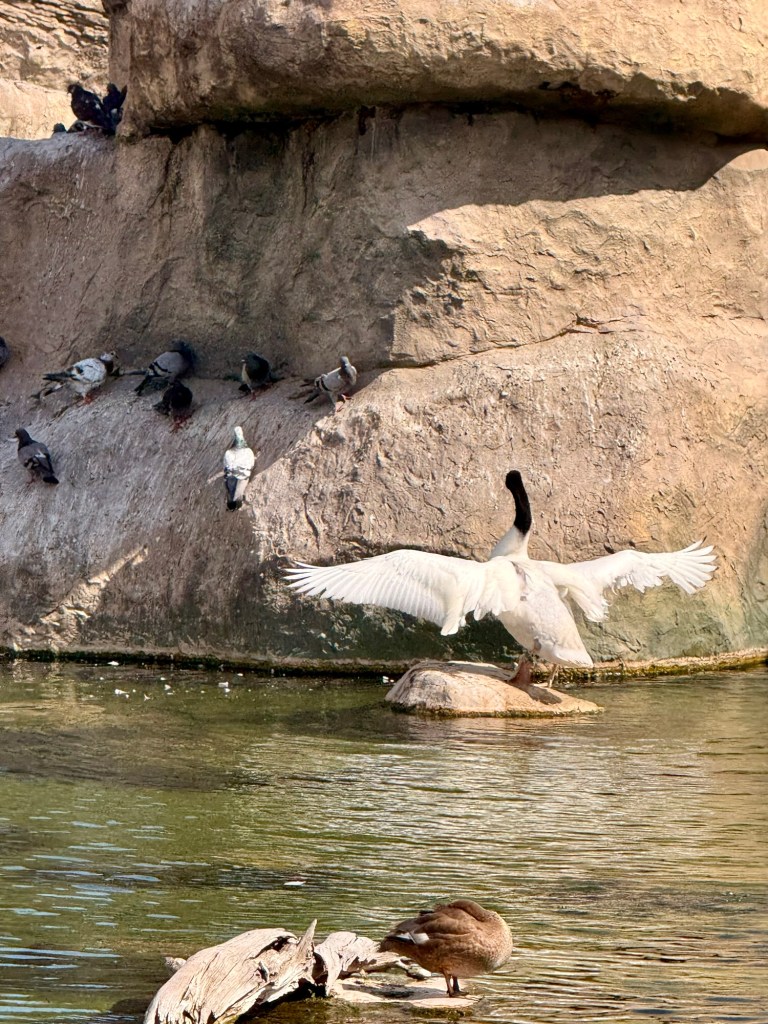
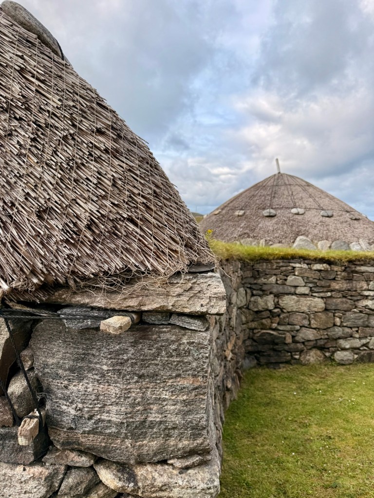
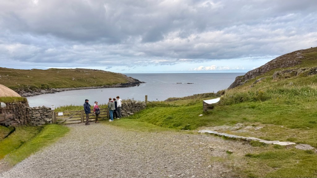
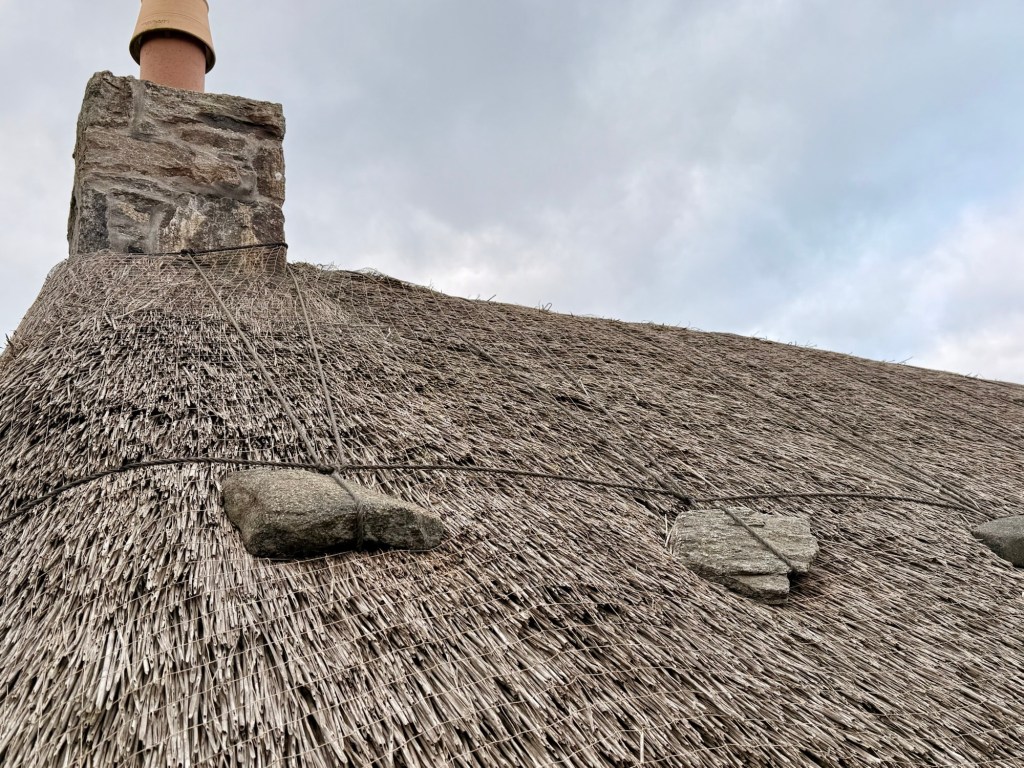
Duck!!!Down toward the seaView of the fishing watersThatched roof held (from blowing away) by mesh netting and rocks A pile of peat blocks
Crofters…. renters worked the strip of land. Crofting is still alive today. 20-30,000 pounds to buy them but our guide rents for 6£ per year…she has 6 sheep and vegetables on hers. …. Now you must be living within so many miles of their Croft to use it.
There are common grazing grounds for sheep but can only be a certain percentage of what is owned….
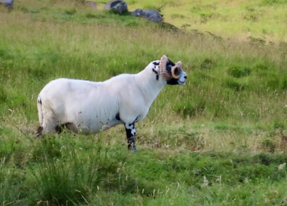
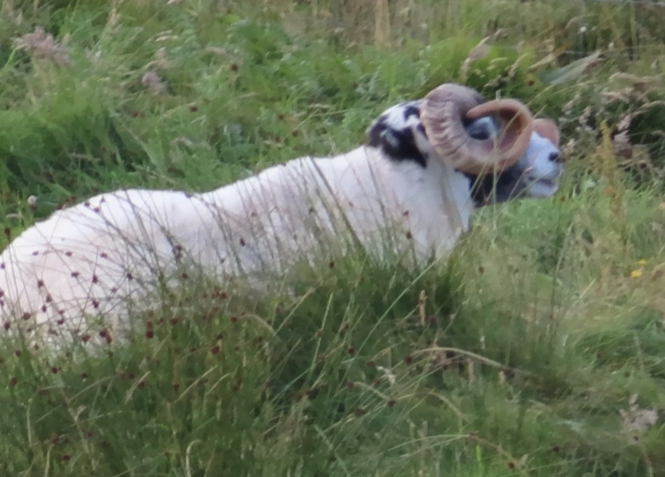
Must identify by tag but they also spot colour them with paint.
Harris tweed…1833 began serious business….must be 100% virgin wool.
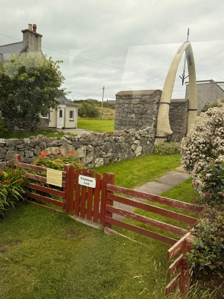
Whale bone at entrance of home… from 80 foot blue whale that washed ashore in 1920
Whale jaw bones Gaelic spelling on sign
Scotland would prefer to belong to EU.
First 7 years kids go to primary school then secondary school. There are only 2 secondary schools on the island so means more time travelling to school.
Social housing -200 new builds rented at a reasonable price.
Monbretia growing wild as well as heather blooming purple mostly right now.
It’s a beautiful sunny day…wow! So glad to see it after floating around on foggy seas all day yesterday. Our port stop in Heimaey was cancelled due to fog and swells making it unsafe to tender in.
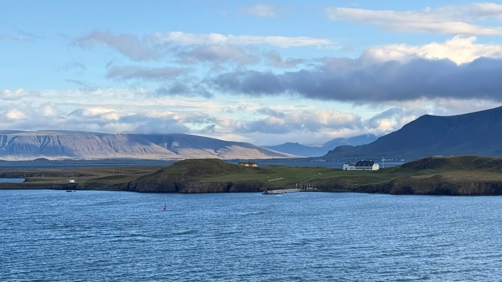
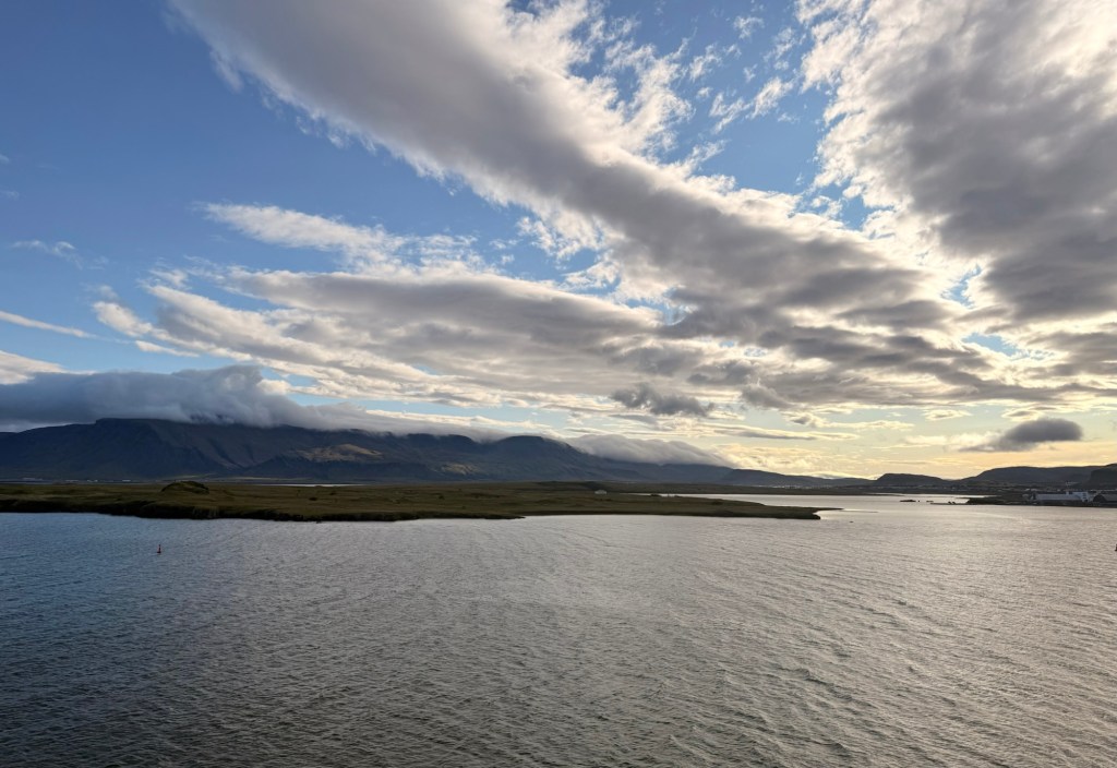
Looking away from the city…. a sight I remember from when I was here before From the ship…. so barren
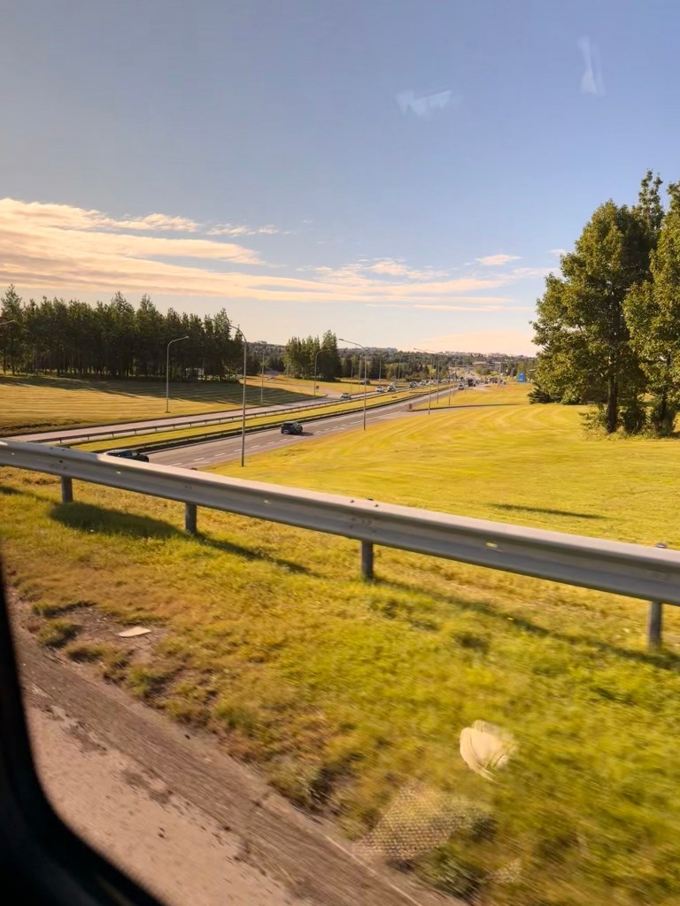
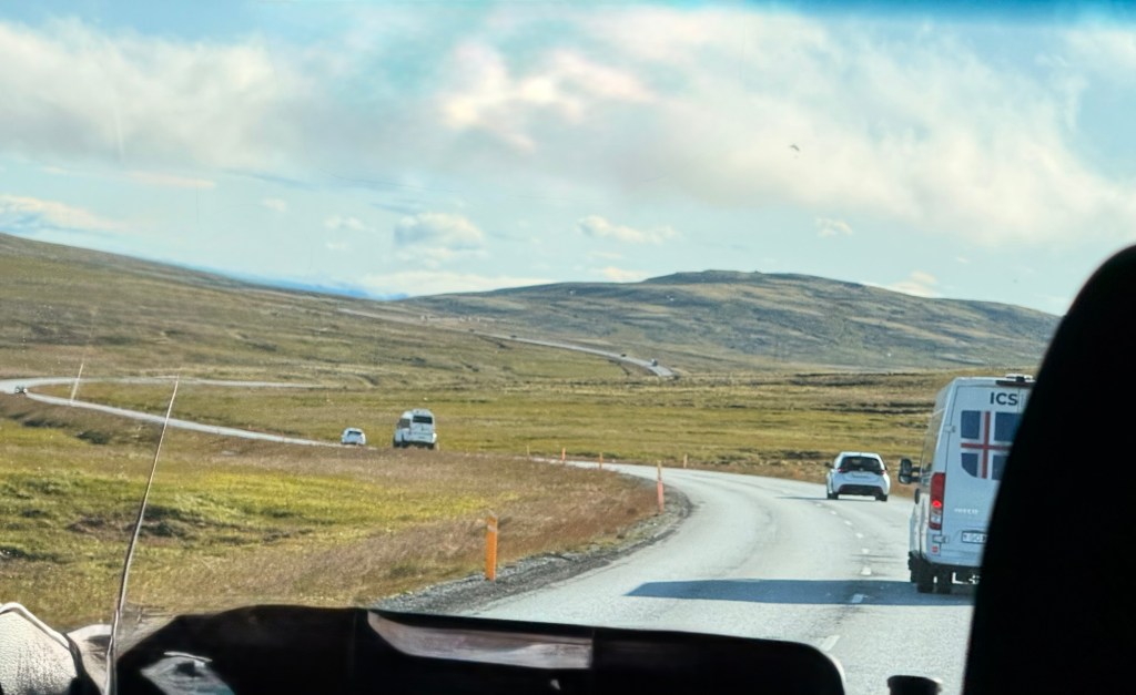
TMP is the licence plate of our vehicle so that we can find it …Nice Travel. Phillip is our guide. He has been here for 7 years …. From Poland and loves it.
Icelandic weather “mostly gives the country the middle finger, is psycho, bi-polar……is mental”.
It is the land of ice and fire. Never trust the meteorologists. Who knows what the next 5 minutes will bring.
Smoke and bay meaning of the name Reykjavik. It was under Danish control for 350 years.
Population of Reykjavik is 250,000 out of 400,000 for the whole of the country. 80% live in the surrounding area near Reykjavik.
10% population is Polish …is the largest foreign group. When Phillip was returning to Poland after visiting and falling in love with the country, the wind when Phillip was on plane, was 110 km per hour. He was scared but survived and returned.
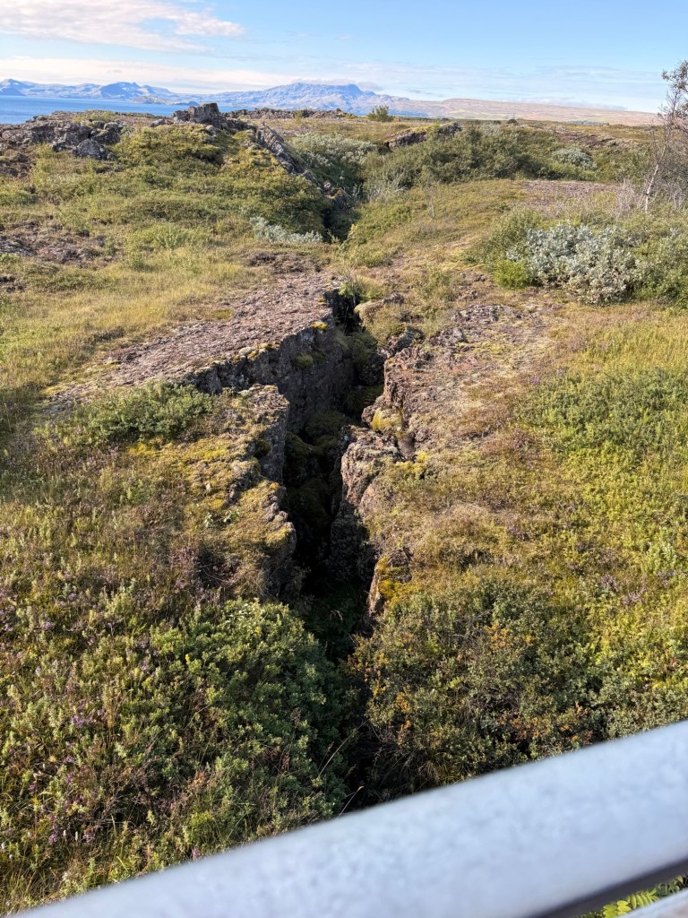
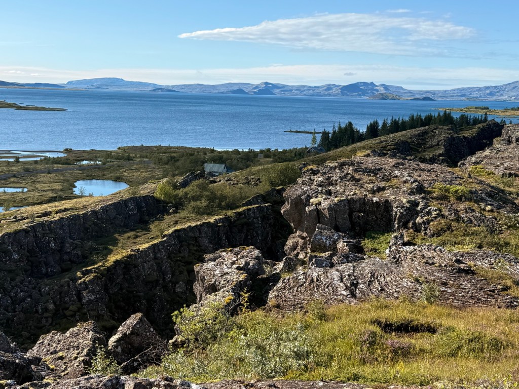
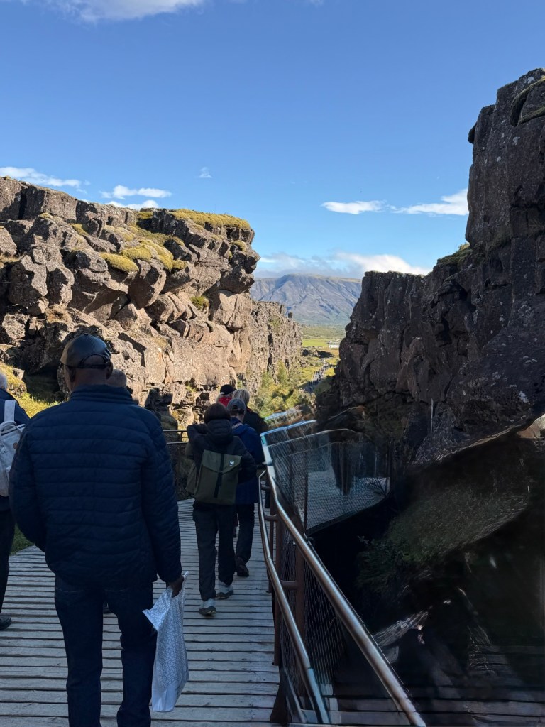
It was 24 million years ago when tectonic plates started to pull apart ….1 inch (25 mm) / yr. The Eurasian plate is also rising about 10 mm per year.
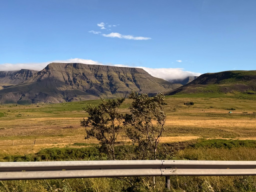
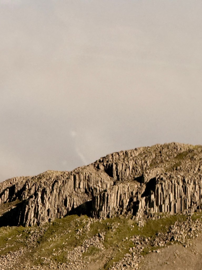
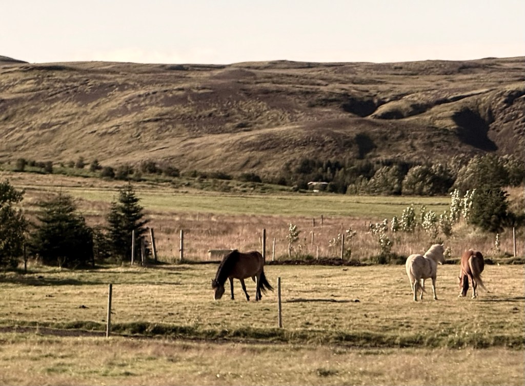
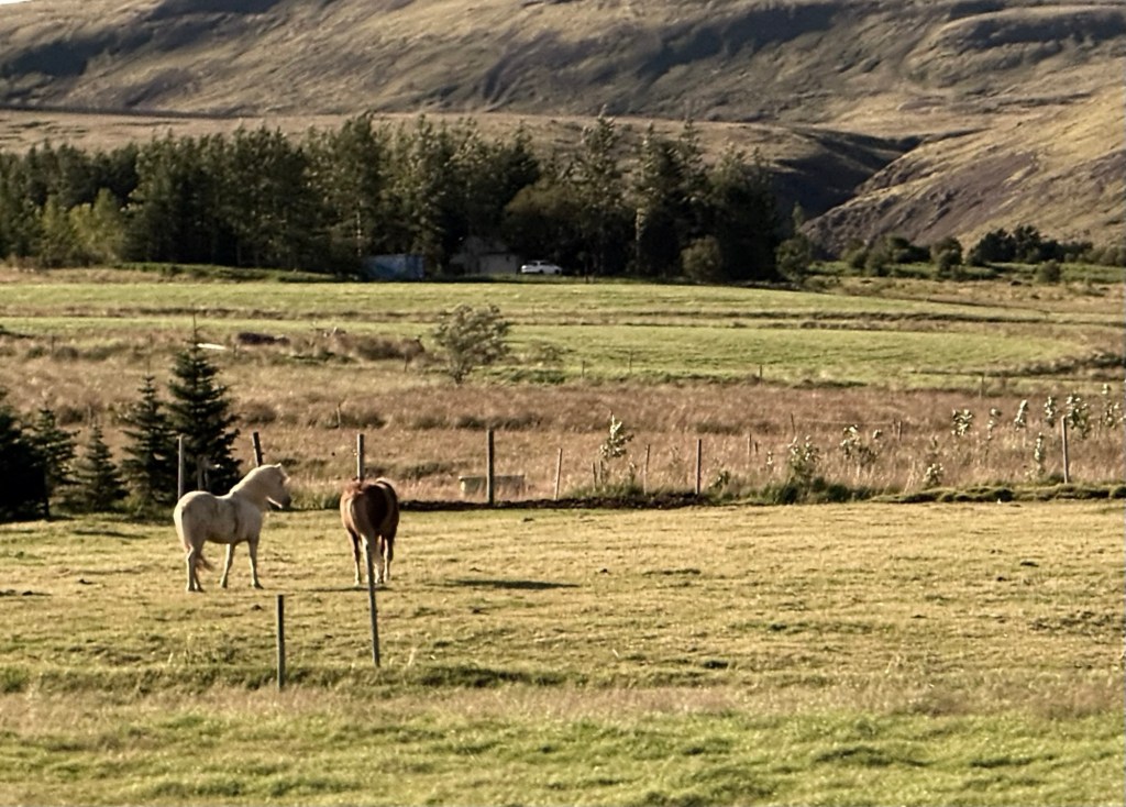
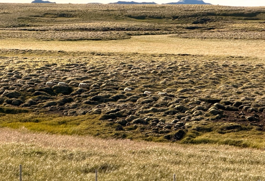
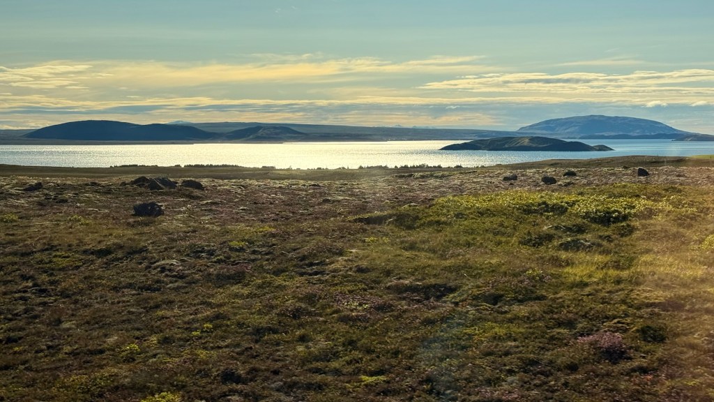
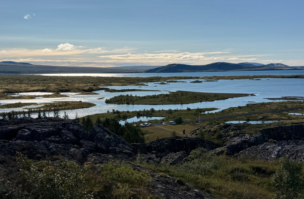
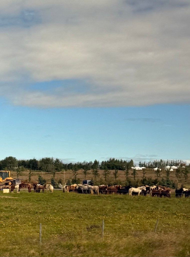
Starting off on our 11 hour excursionMountain ahead is 3000 ft high and flat on top meaning it had a glacier on top when it erupted. So many Icelandic horsesAnd sheep….. following behind each other Pingvallavatn Lake is largest lake ….where 2 plates separated
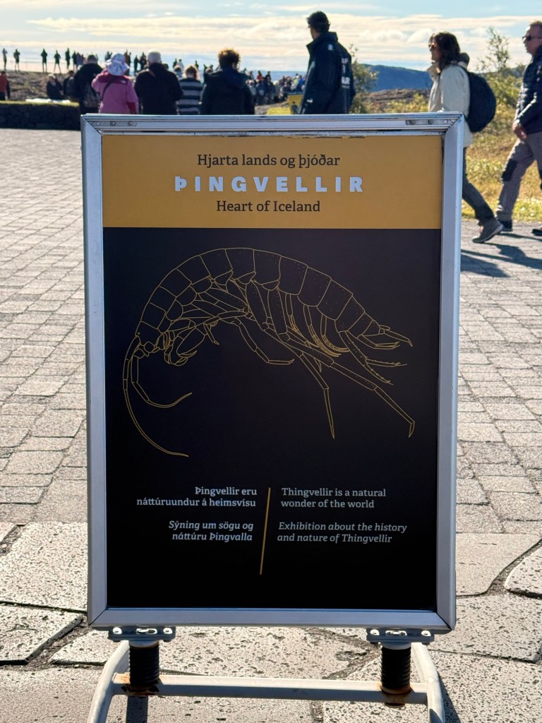
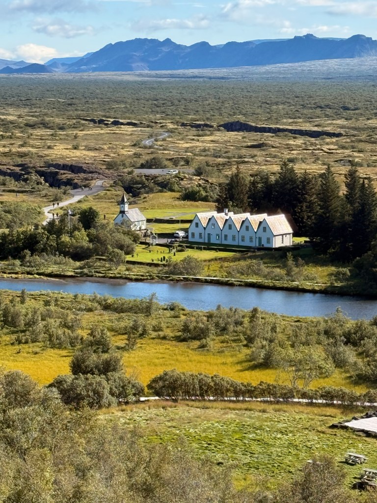
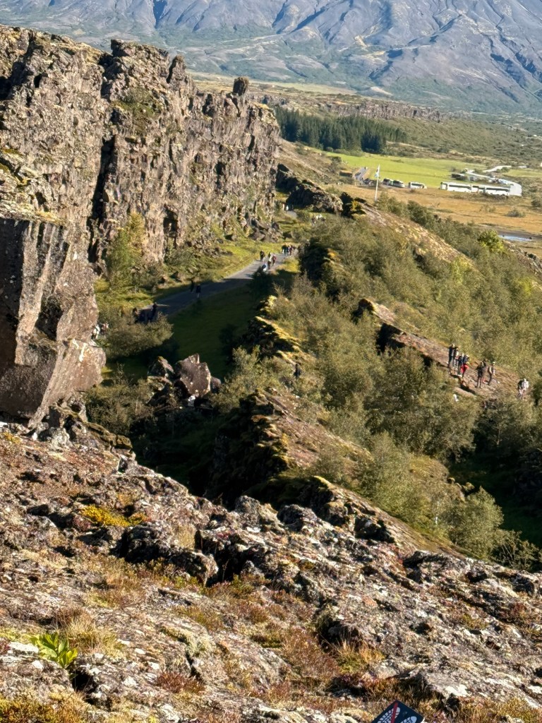
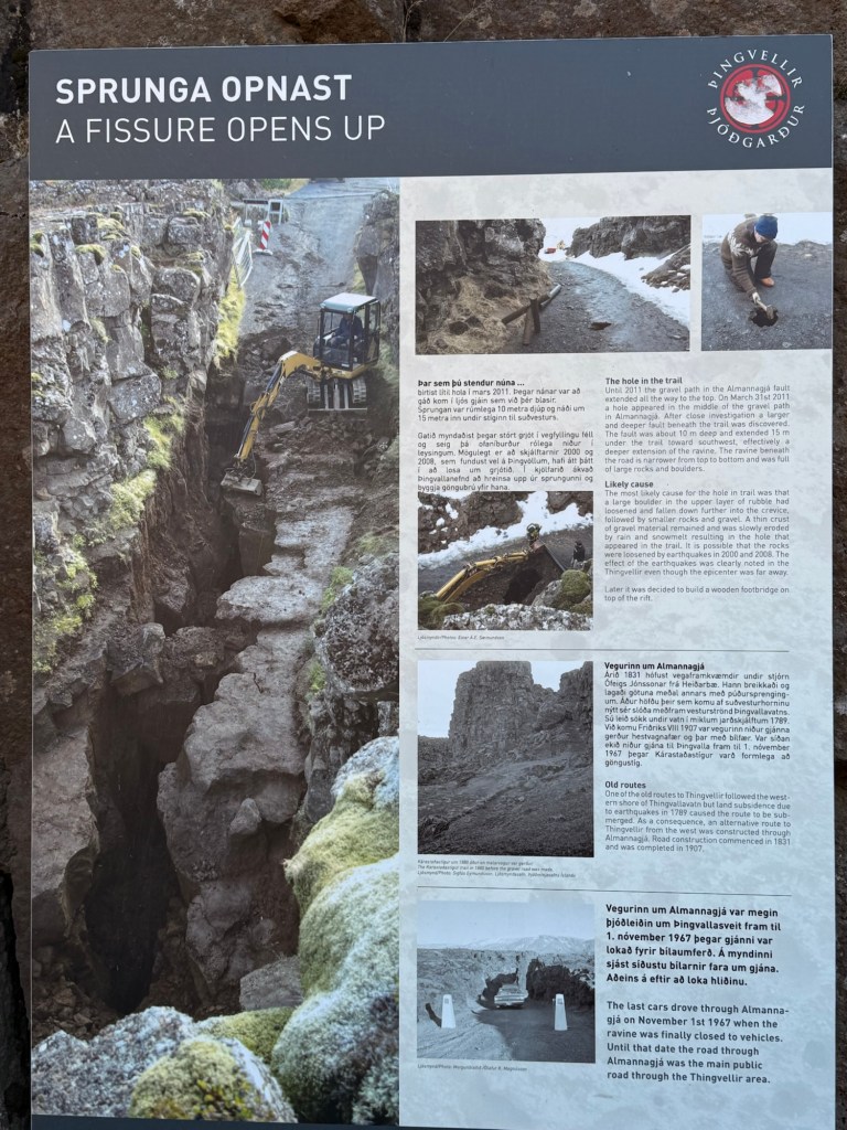
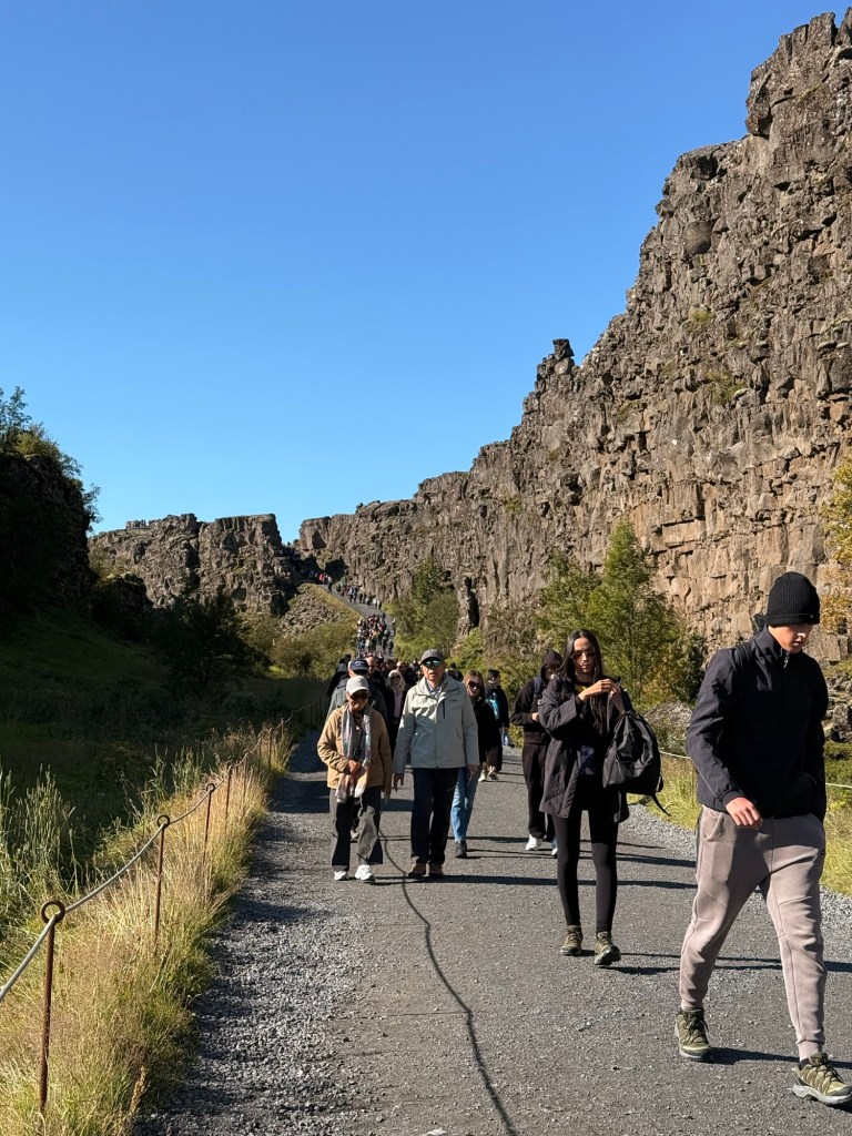
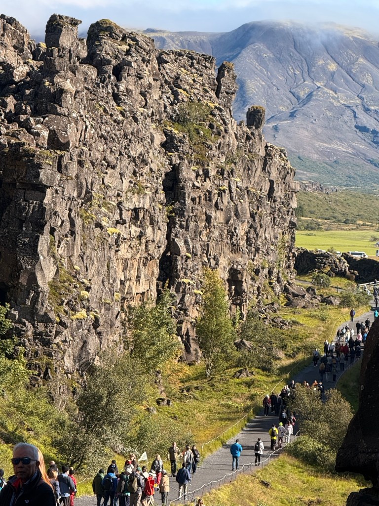
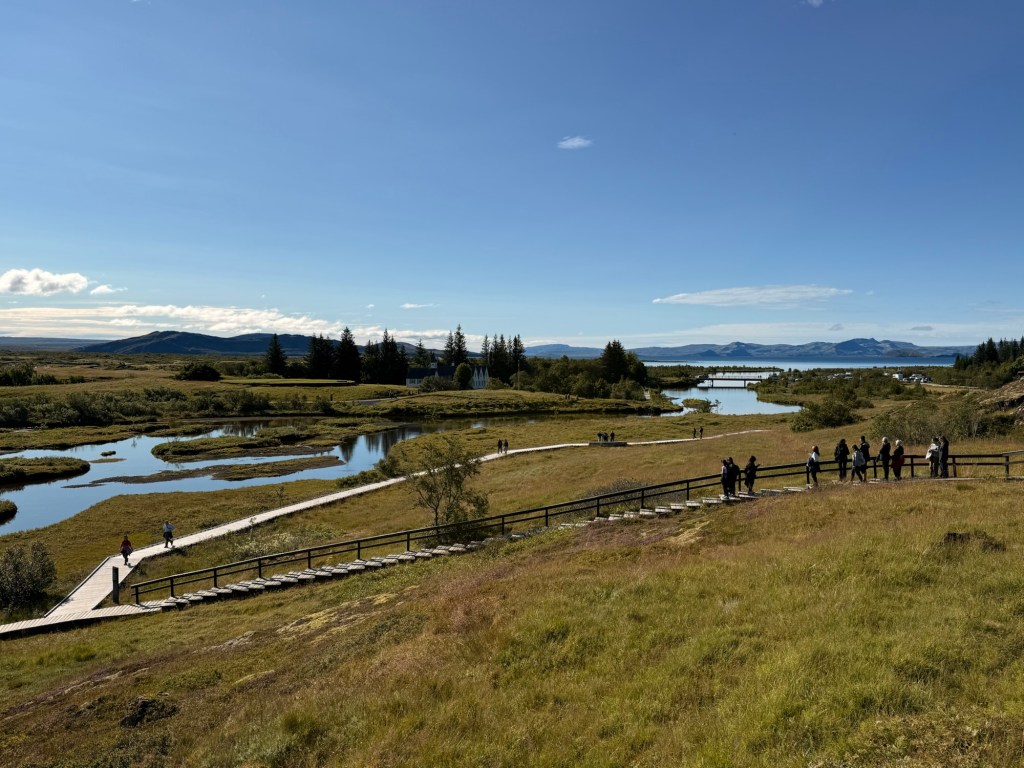
In 930 AD, almost 1100 years ago -parliament began when Vikings chose to stop killing each other and start looking out for each other. “Thingvellir” (the parliament) was situated between the 2 plates.
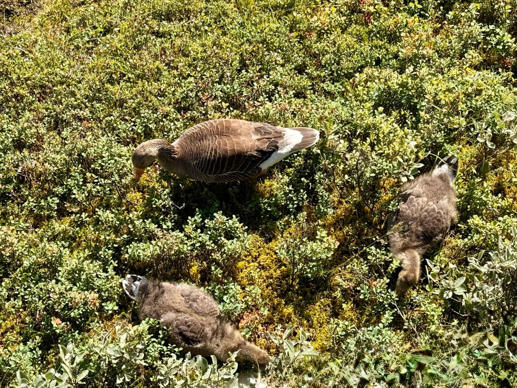
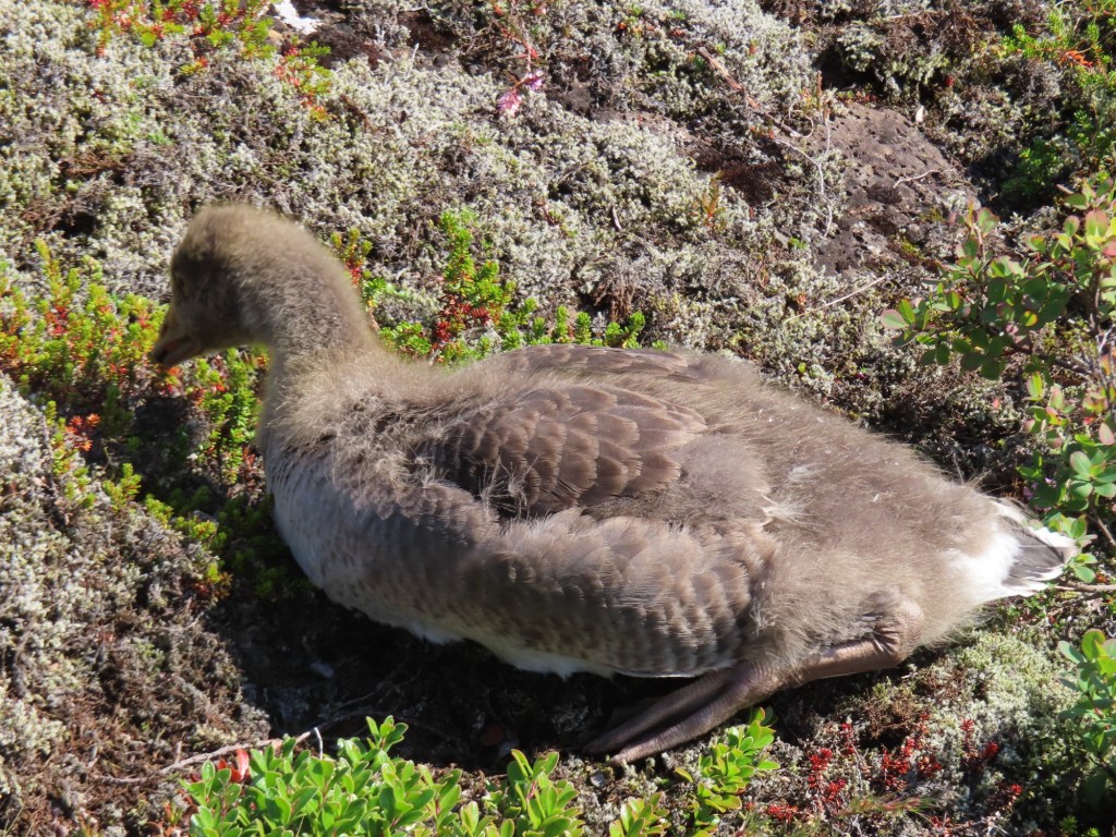
Wall featured in Game of ThronesWe saw a family of geese, Egyptian, I believe 2 youngsters
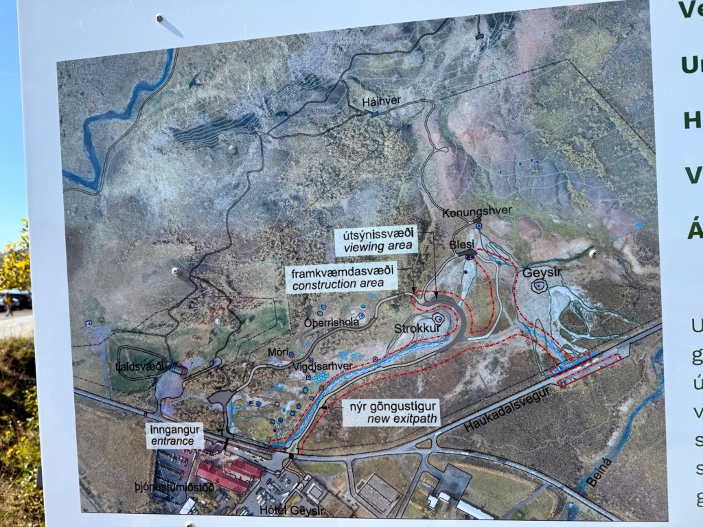
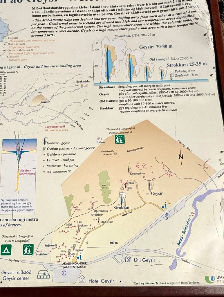
Next stop to Geysir
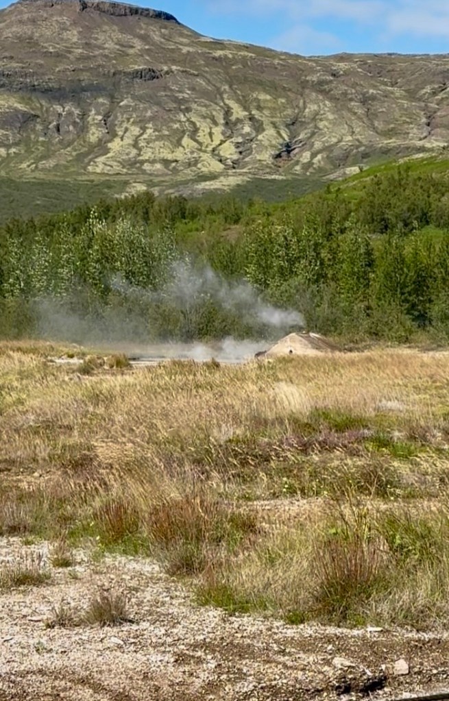
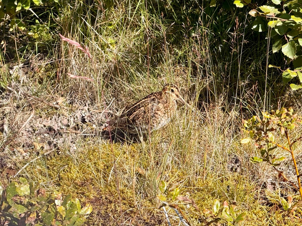
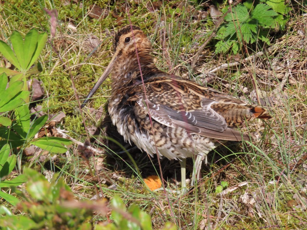
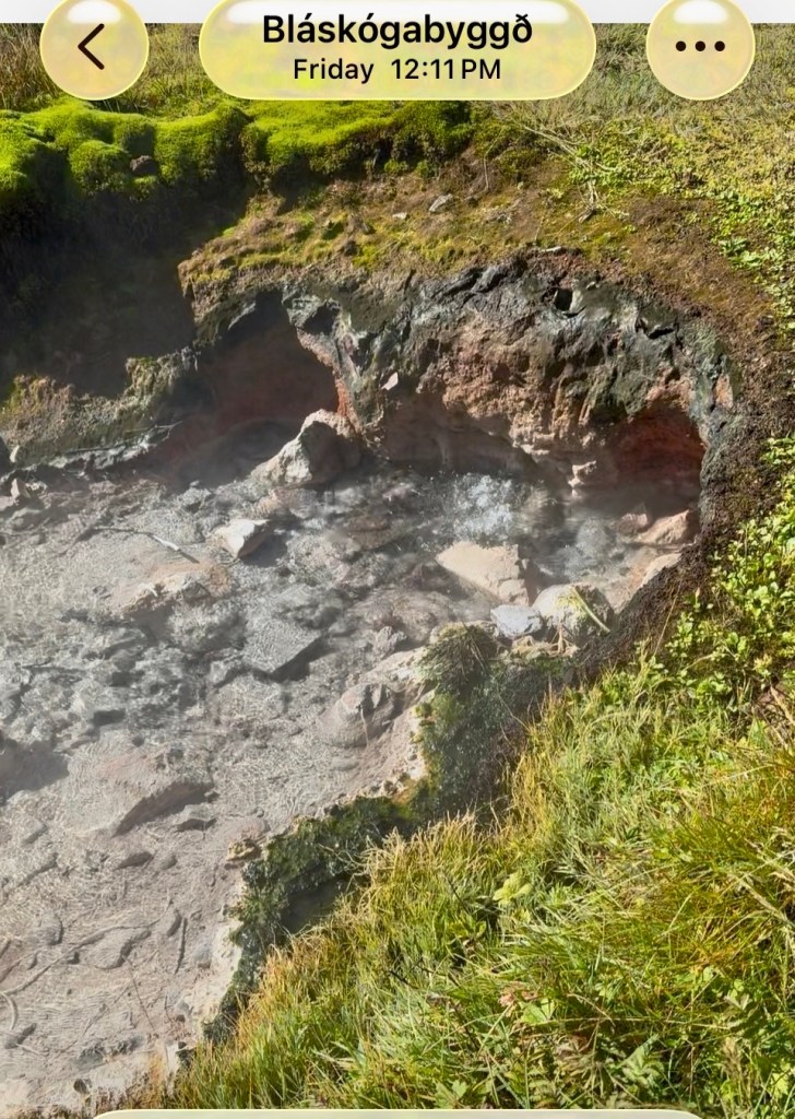
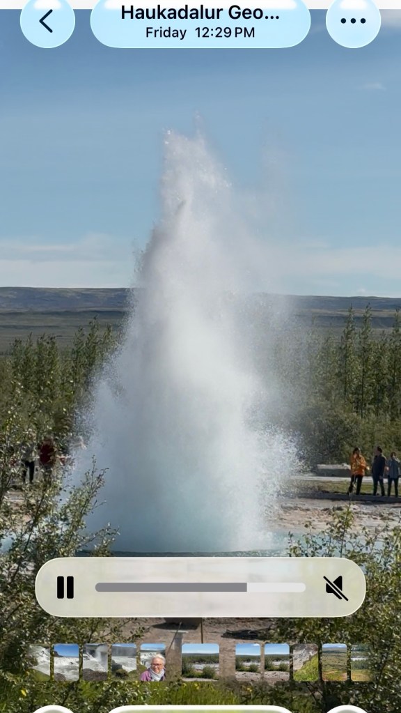
This hole in the ground was roaring And the warning sign beside it Not sure what this long beaked bird isThar she blows!!! Haukadalur Geothermic “Geysir”. It blows every 8-10 minutes (very frequent)
Left as we are leaving is North American plate and on right side is Eurasian plate.
25 million trees have been planted over last 20 years (3 million a year now) covering 2% of the land….6x what it was.
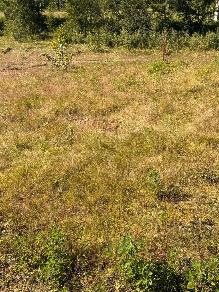
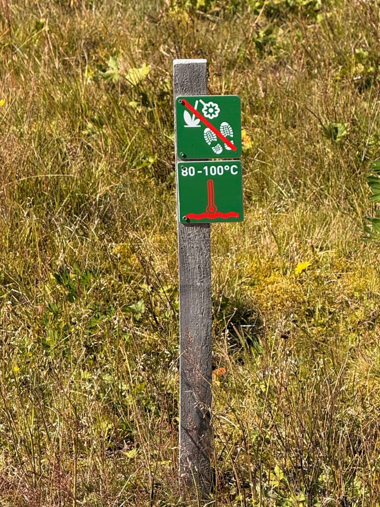
30 volcanoes are still considered “active” meaning… during the period of human life. There are 9 highly active right now. Mountain Heckla is rumbling … one never knows when it will blow. Laugarvatyn Lake is a geothermal. . “bathing lake”…. 100 C (212 F) temp ground…. They bake rye bread in the ground.
Before the volcano that erupted in 2010, the number of tourists numbered 350,000/year …. 430,000 after and 2.4 million now. “The 8 days that it paralyzed air traffic all over Europe was the best advertising campaign”.
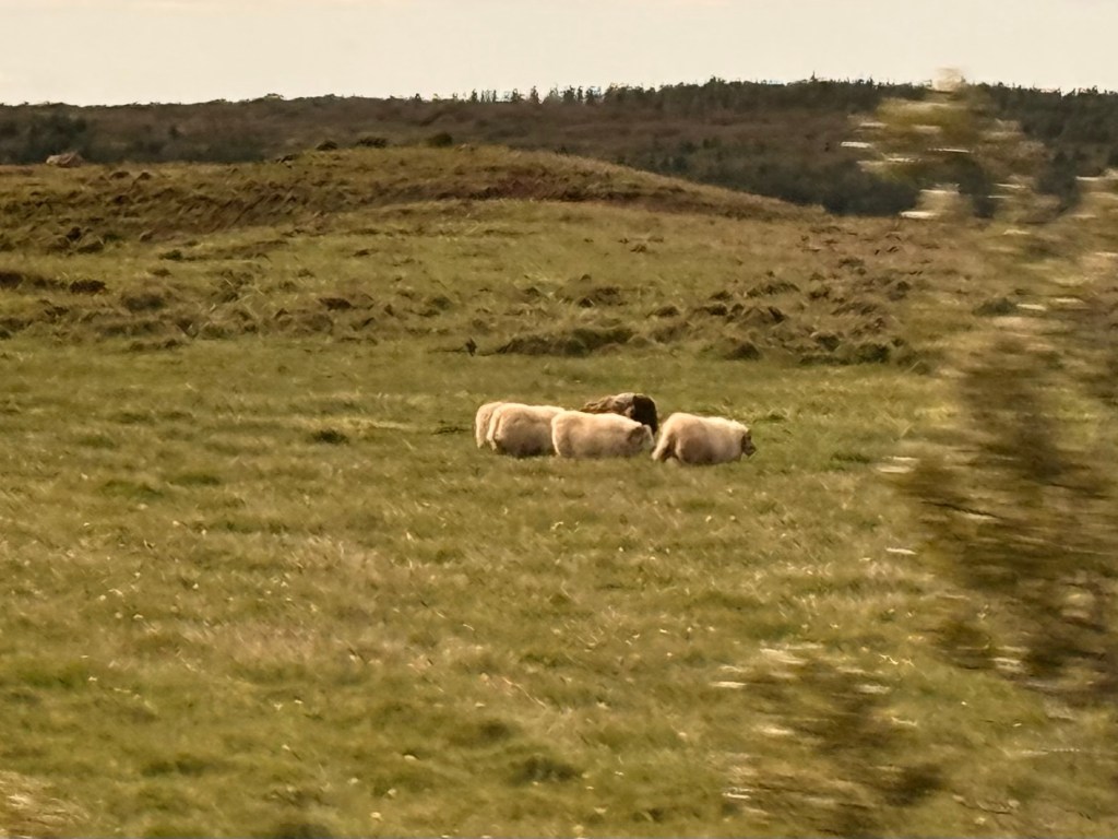
Biggest crop in Iceland is grass, 3-4 crops a year. It is used for the animals… cows, horses and sheep. They only have grass-fed lamb… no antibiotics, no fertilizers, etc
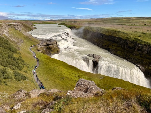
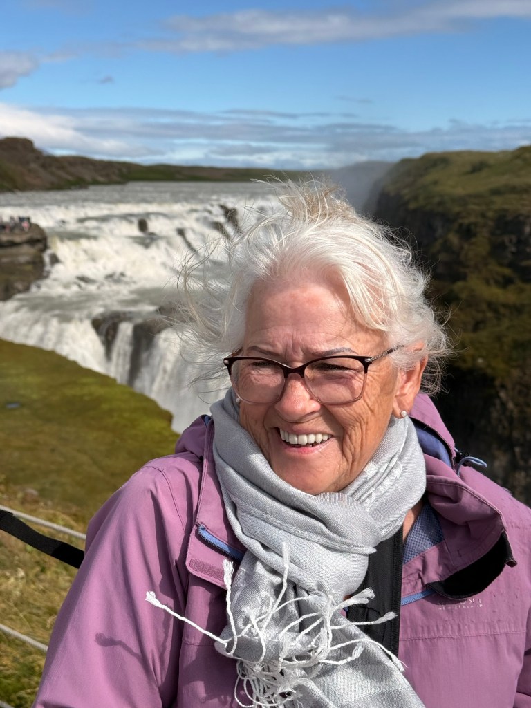
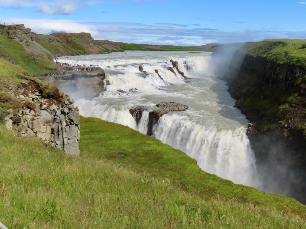
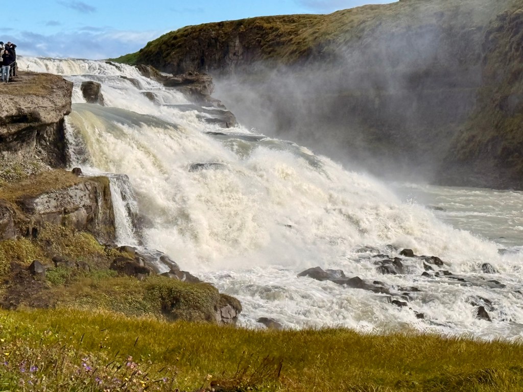
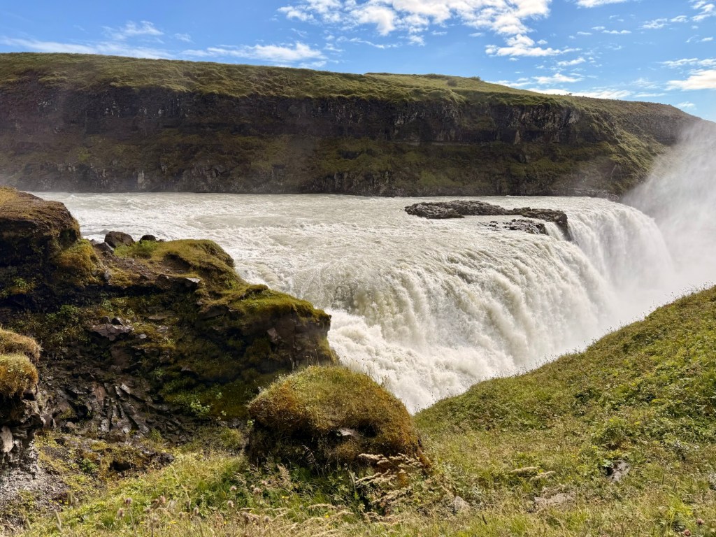
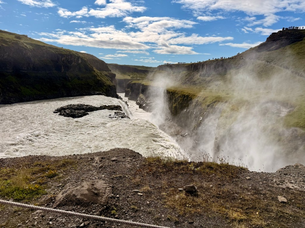
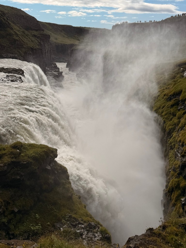
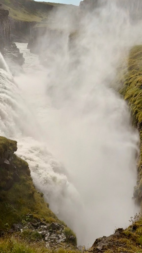
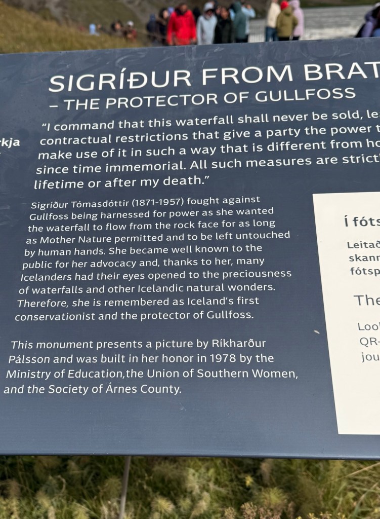
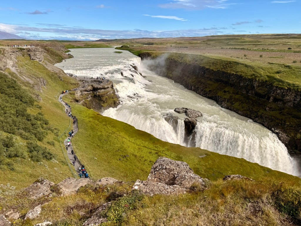
Golden waterfall “Gullfoss”
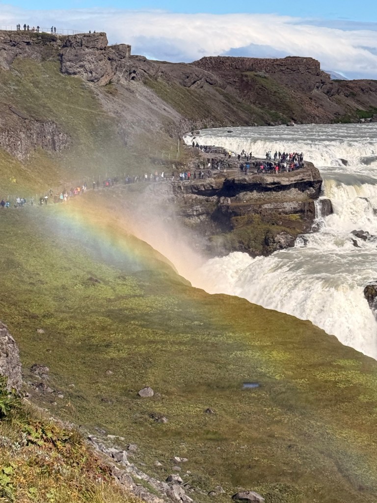
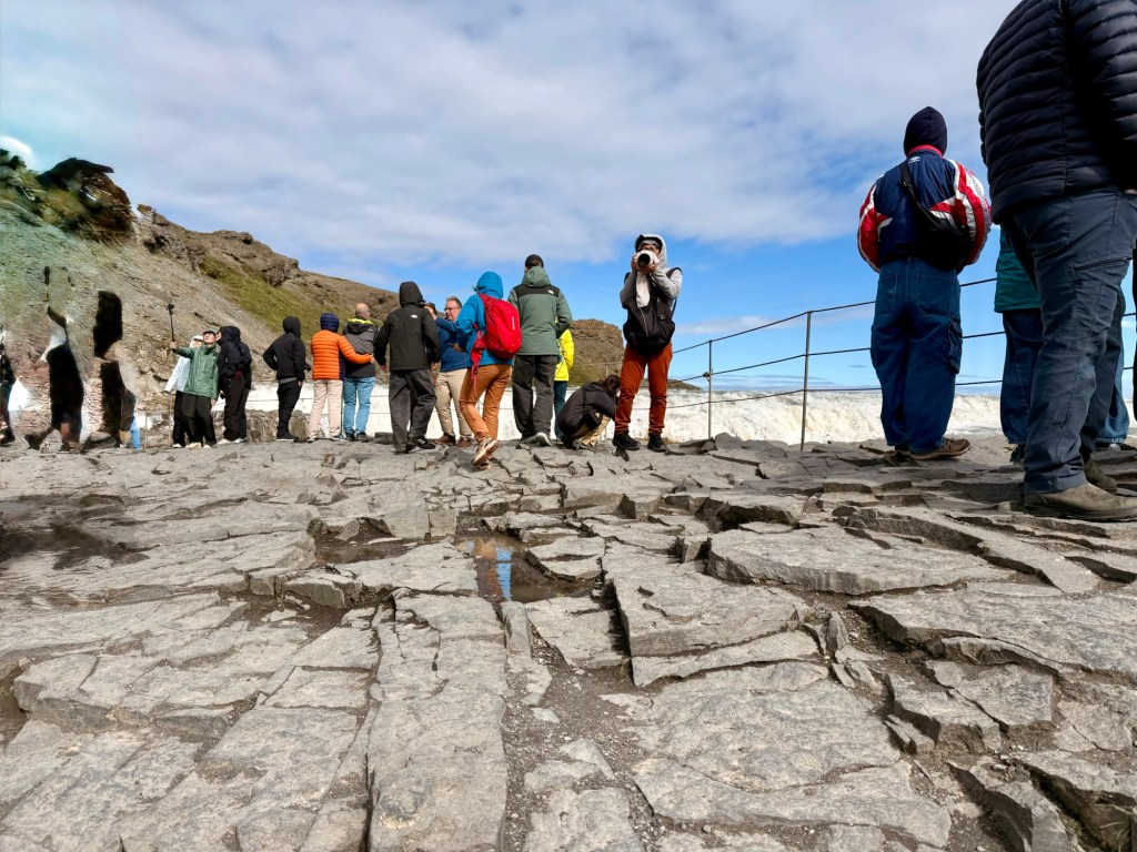
The canyon walls are 230 feet. Water over the falls is 100 cubic metres per sec. The wind is also at 55 miles per hour. Pelted by the spray. Wow!
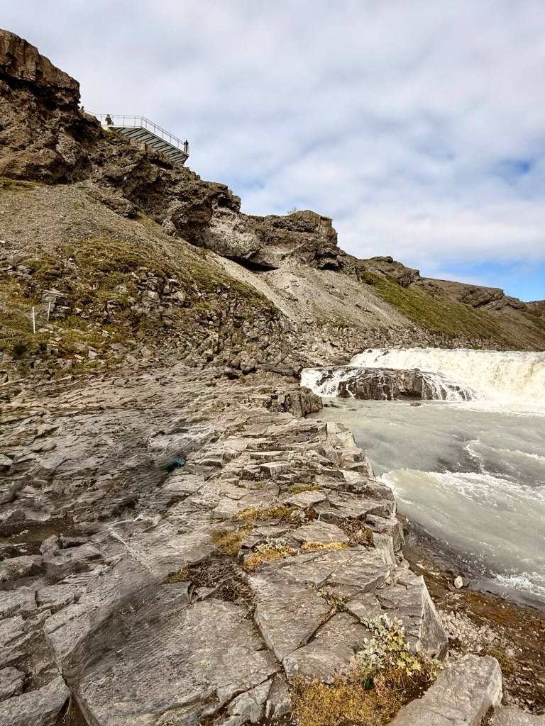
At this point the falls are. Above the people standingGoing to go up for a “higher lookFrom aboveAbsolutely stunning!
It was 108 steps up the stairs and 108 back down not including the walk down to the falls.
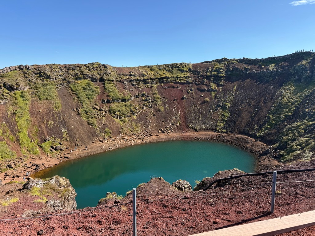
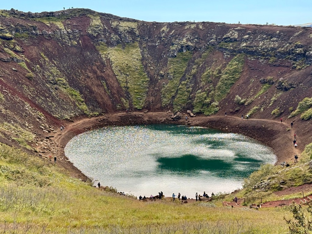
“Kerid Crater”
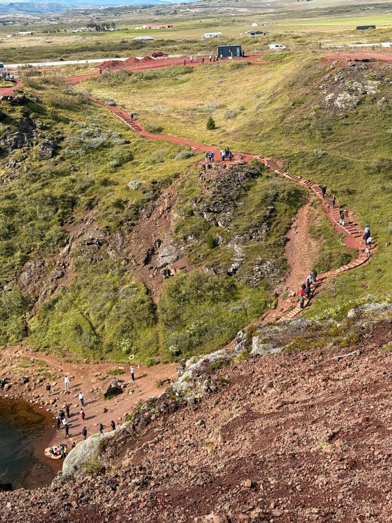
Volcanic fissure eruption means it was on flat ground. In the case of the Kerid Crater, the centre cone started sinking. The sides are 180 feet deep.
Kerid craterSome people walked to the bottom
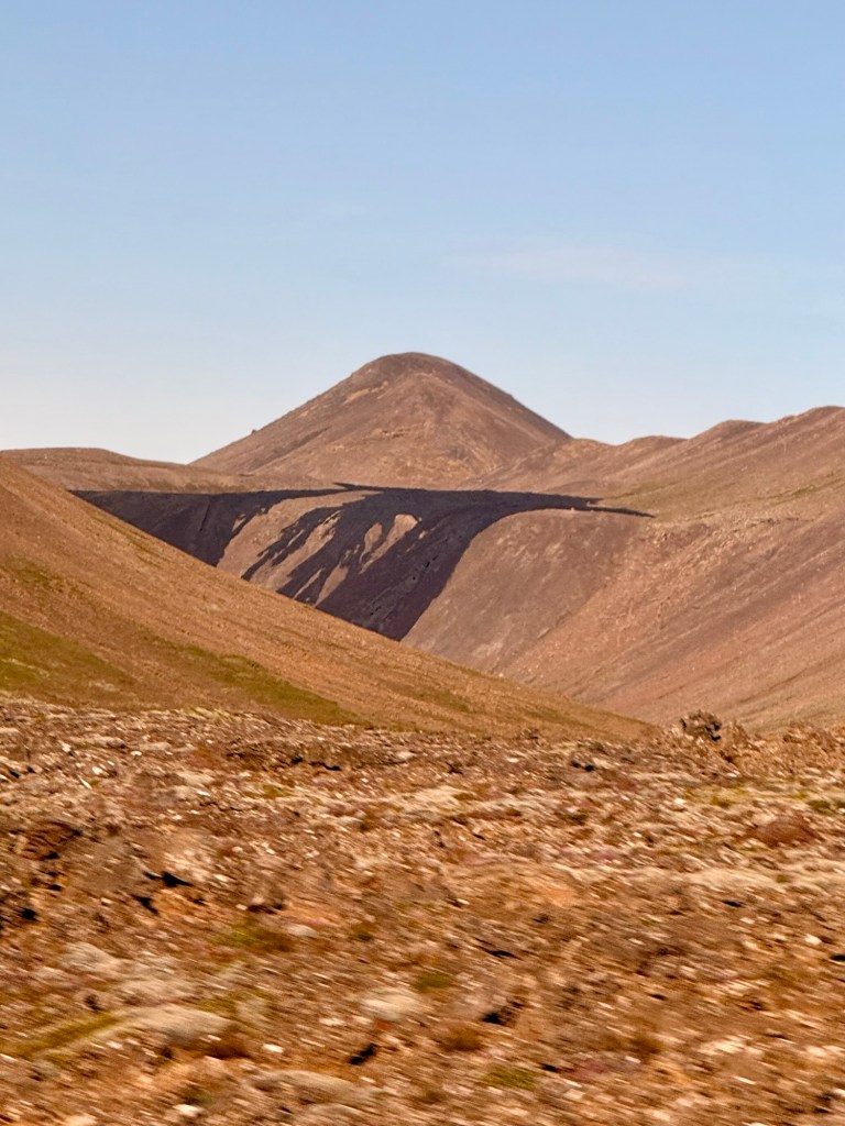
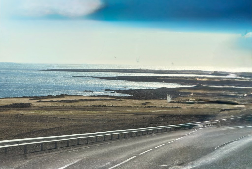
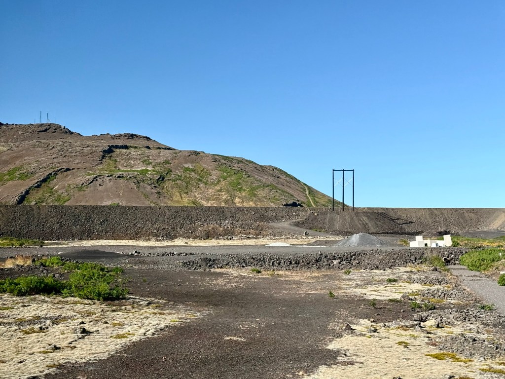
Reykjanes peninsula is the most active volcanic area of the country. There are 28 mountains with the same name….. Burfell. There have been 12 eruption since 2021 (20 since 2000).
S’mores and bbqing is done during lava eruption…. Yah sure!
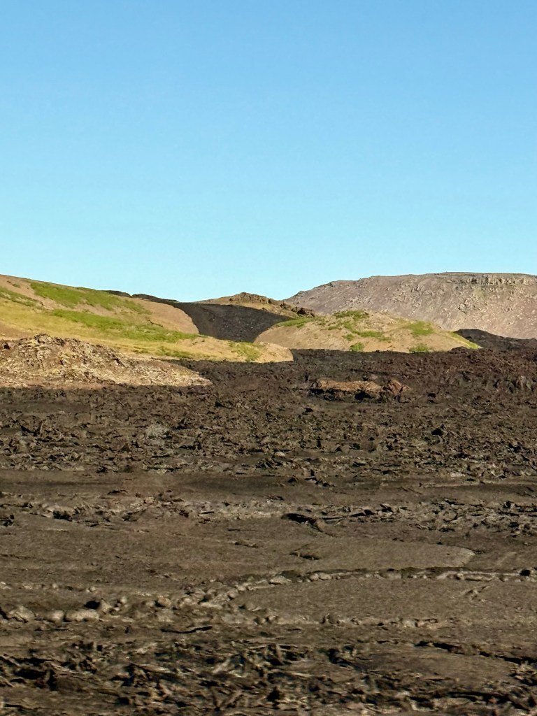
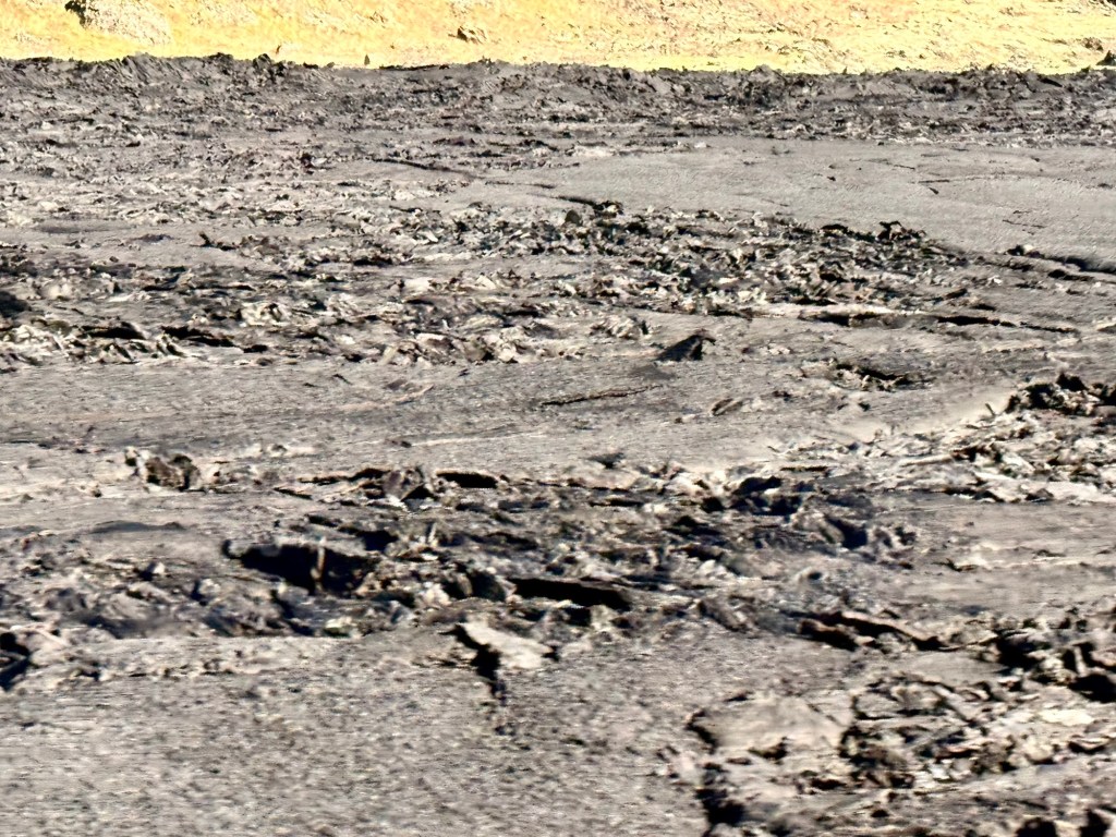
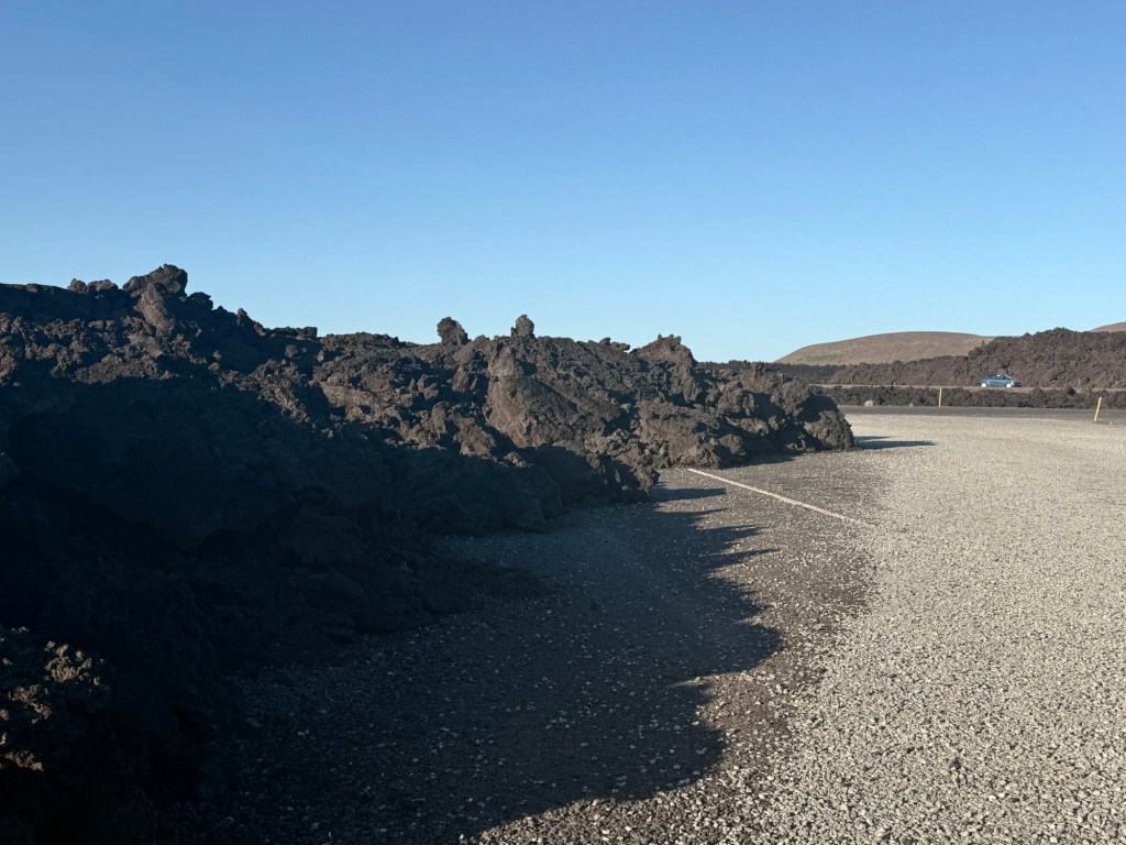
July-Aug /25 was the most recent and has ceased. Eruptions 2020 & 21 and the December/23 is still hot below the surface. 25 people refused to leave when the last one erupted.
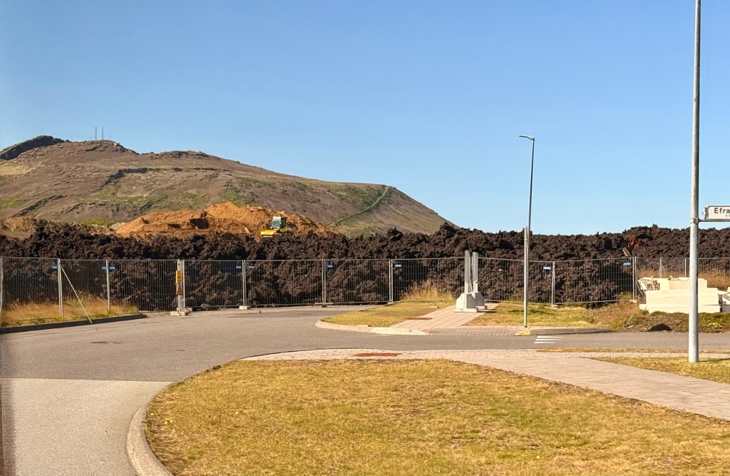
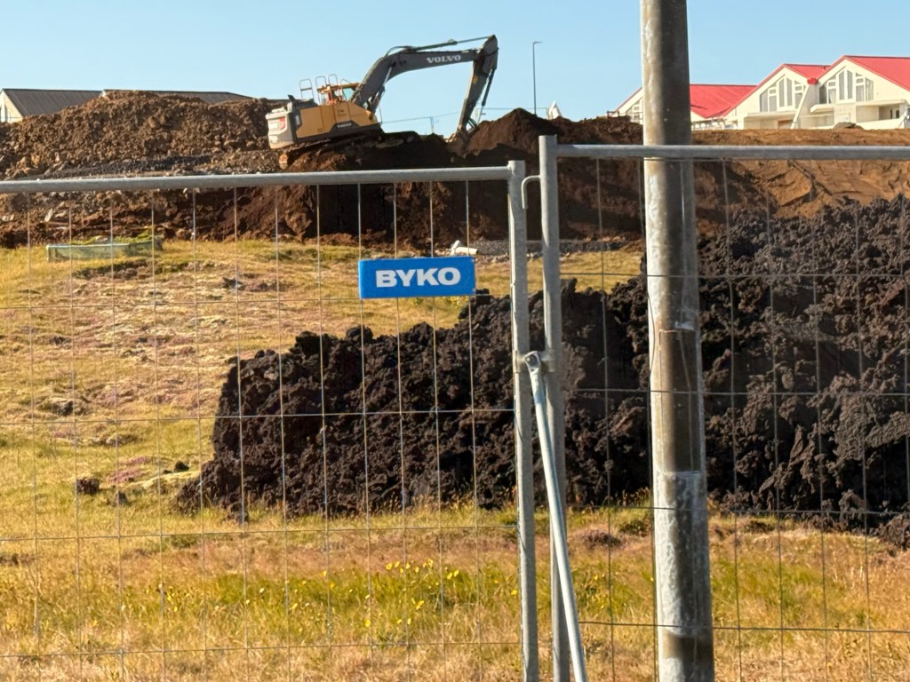
Only 1 person died …. he fell into a crevasse. 2 homes were destroyed by the lava flow. What causes the most damage to homes though is caused by the ground elevating by 3 metres.
Lava poured over In the middle of a residential areaPretty close if you ask me Over the road
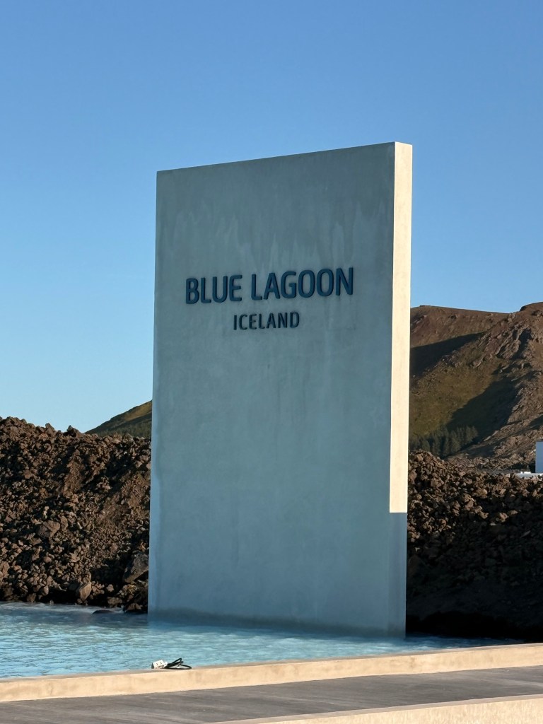
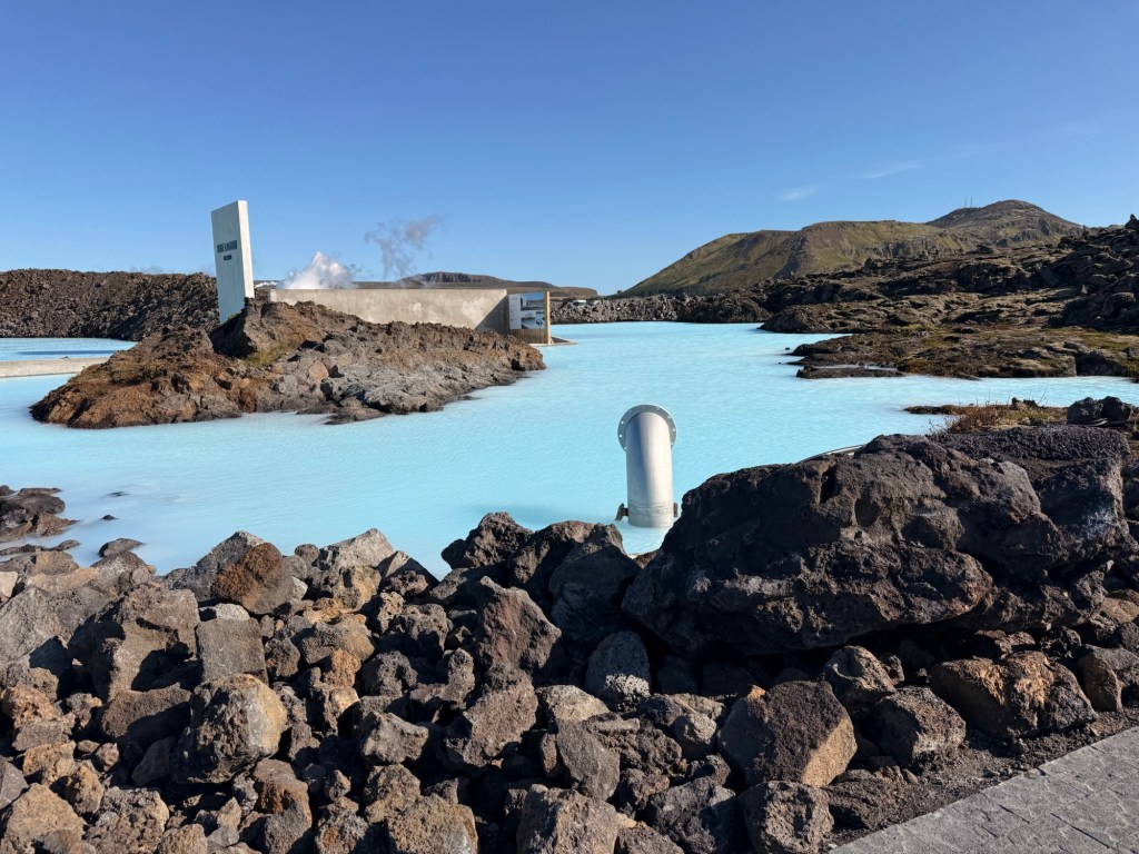
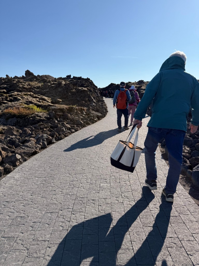
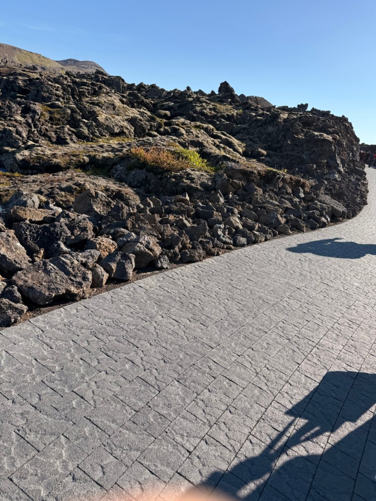
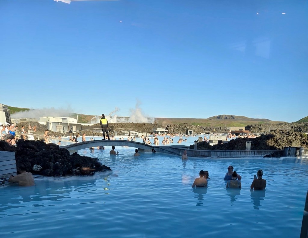
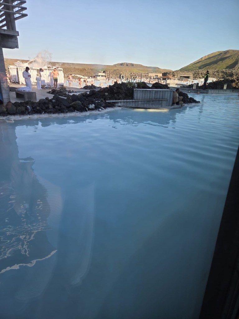
Largest geothermal plant largest in the country started in 1970s. The water there is an eerie colour of blue….. the Blue Lagoon. High ph cause hair to frizz and will damage silver.
The Blue Lagoon
Iceland is the 2nd largest producer of aluminum in Europe.
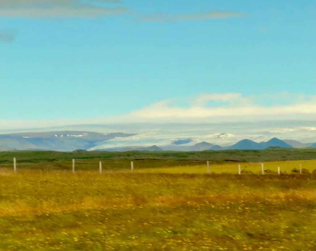
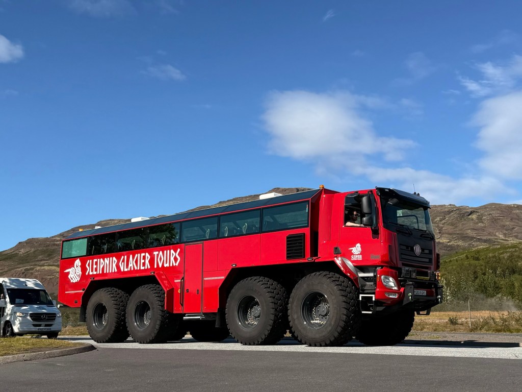
So many horses2nd largest glacier in Iceland Seen on the road…. For riding on the glaciersThe shore of the Reyjanes peninsulaDefensive walls are built to protect the towns and other facilities from future flowsMiscellaneous pics
14.8 C at 7:52 this evening when we were returning to Reykjavik…. blue skies all day. What a day!
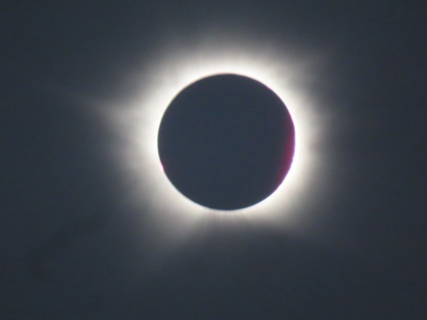
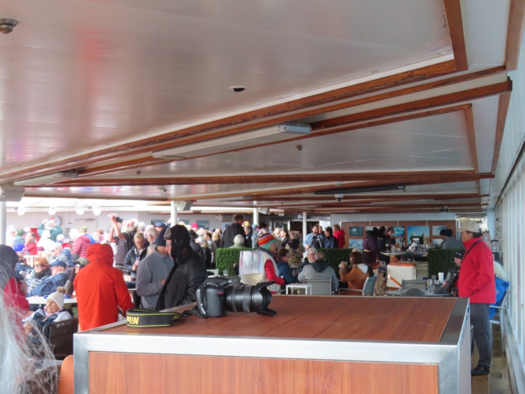
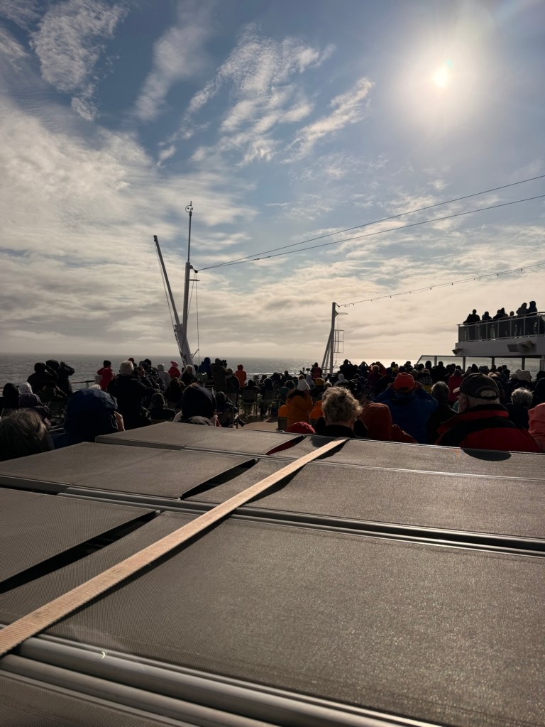
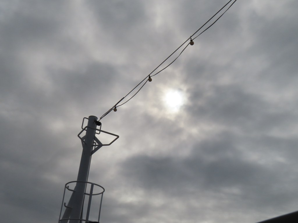
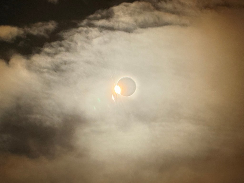
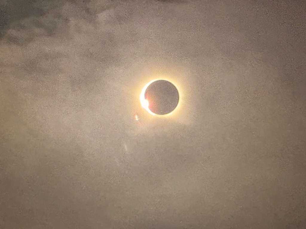
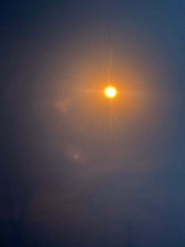
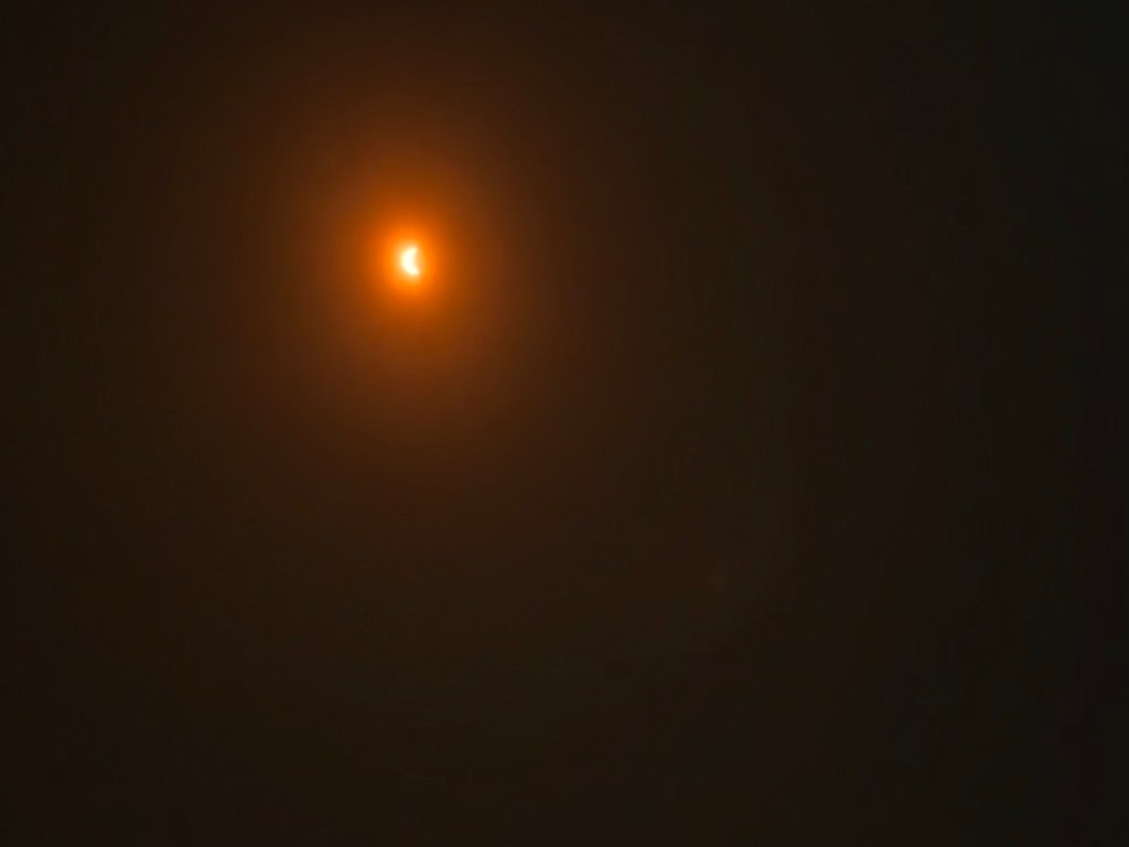
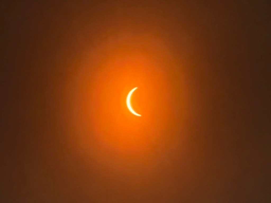
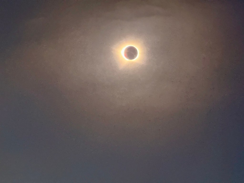
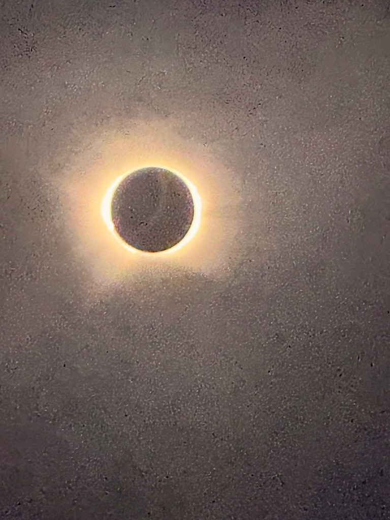
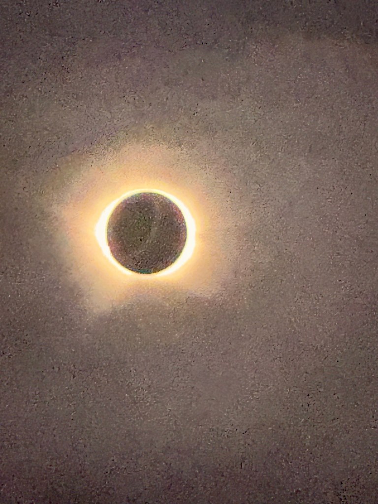
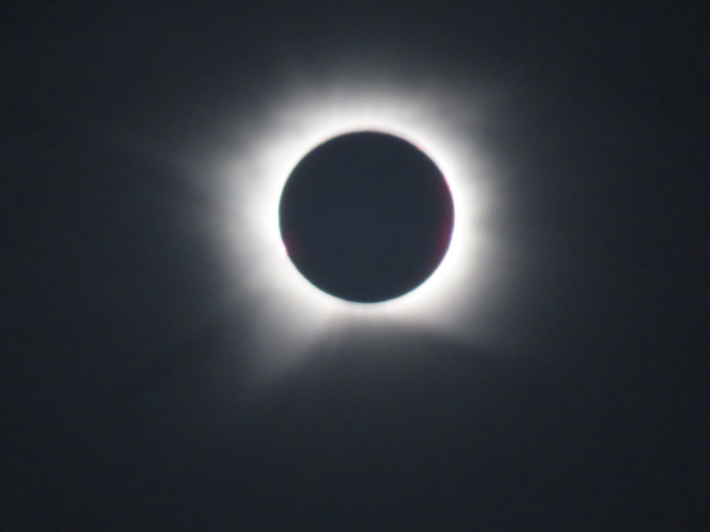
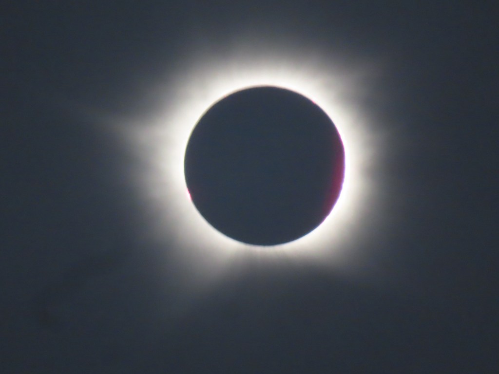
Today we started out zigzagging across the North Atlantic between Greenland and Iceland. We were in search of a hole in the cloud so that we can experience the total solar eclipse. It didn’t seem that it was going to happen for us but…… the captain found it. It was so strange…. They told us it would be total darkness…..it was….138 seconds. They also told us that the temperature would drop dramatically (which I doubted it would). It did…. with wind. I am not sure if the wind was caused from being in the shadow or it just happened but …. It was colder by probably 6-8 degrees Celsius.
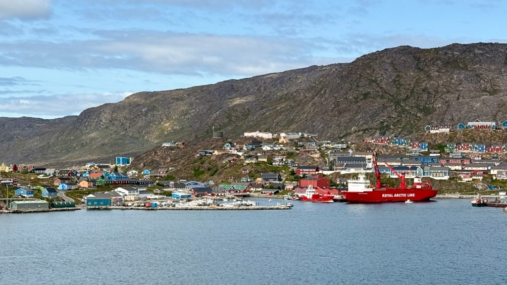
It is not necessarily covered in snow here in this area (Qaqortoq). Greenland is actually further south than Iceland and quite often doesn’t have snow and ice so it was called Greenland by early visitors.
Only one glacier in this area that provides icebergs….meaning it empties into the ocean. Most come south from the northeastern part. Sometimes polar bears come down on ice flows.
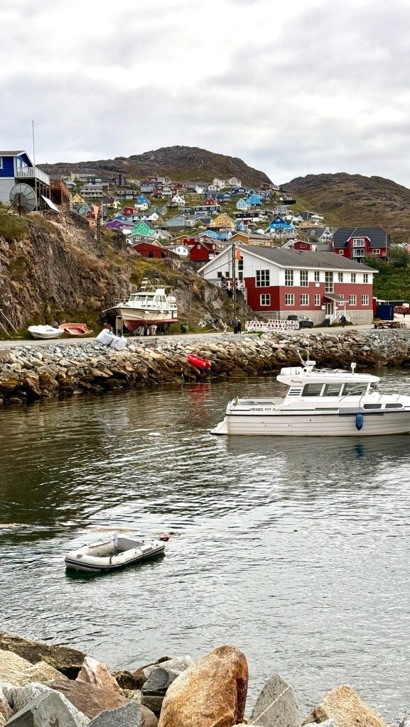
It’s a fair sized village of approximately 3000 people. We still outnumber them. In a way I feel for them to be inundated with so many at one time.
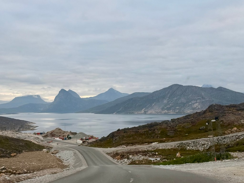
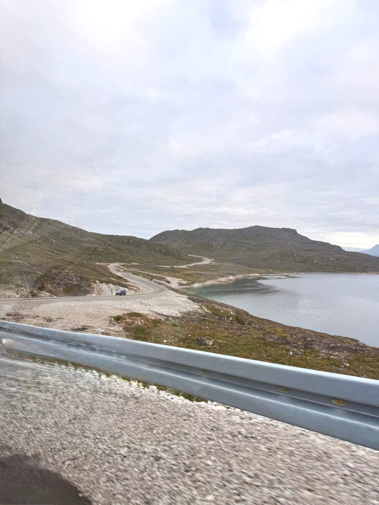
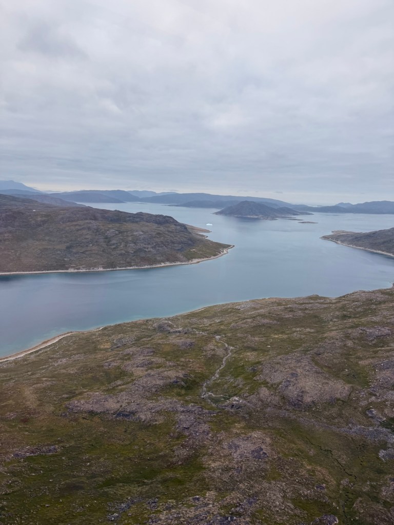
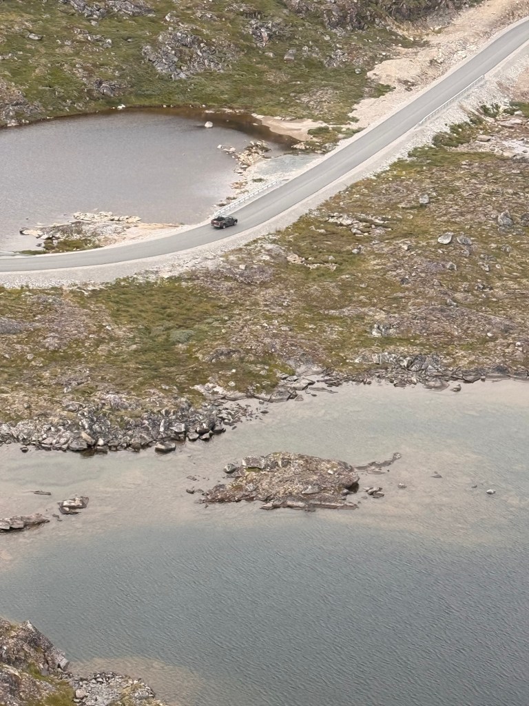
We are picked up right from the dock from which we tendered in and driven to the airport, the newest one in the world. The road is excellent (and brand new I would say) but very windy over barren lands.
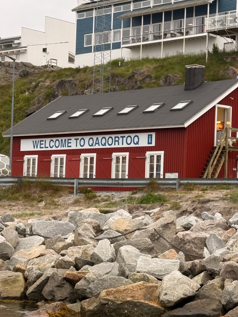
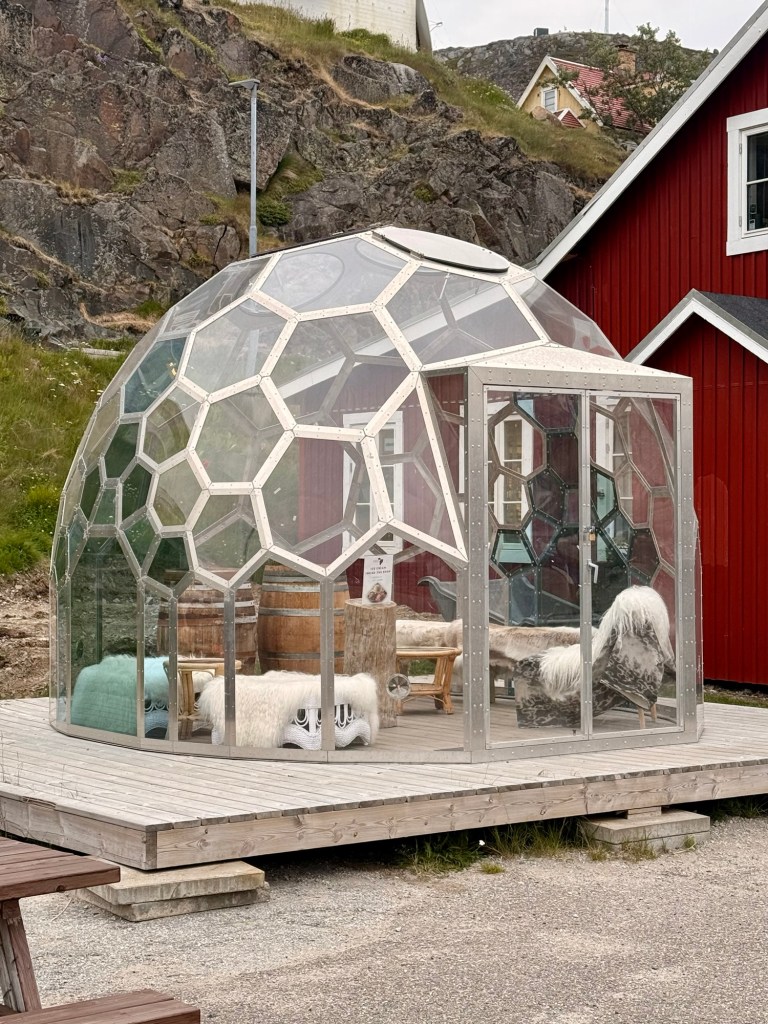
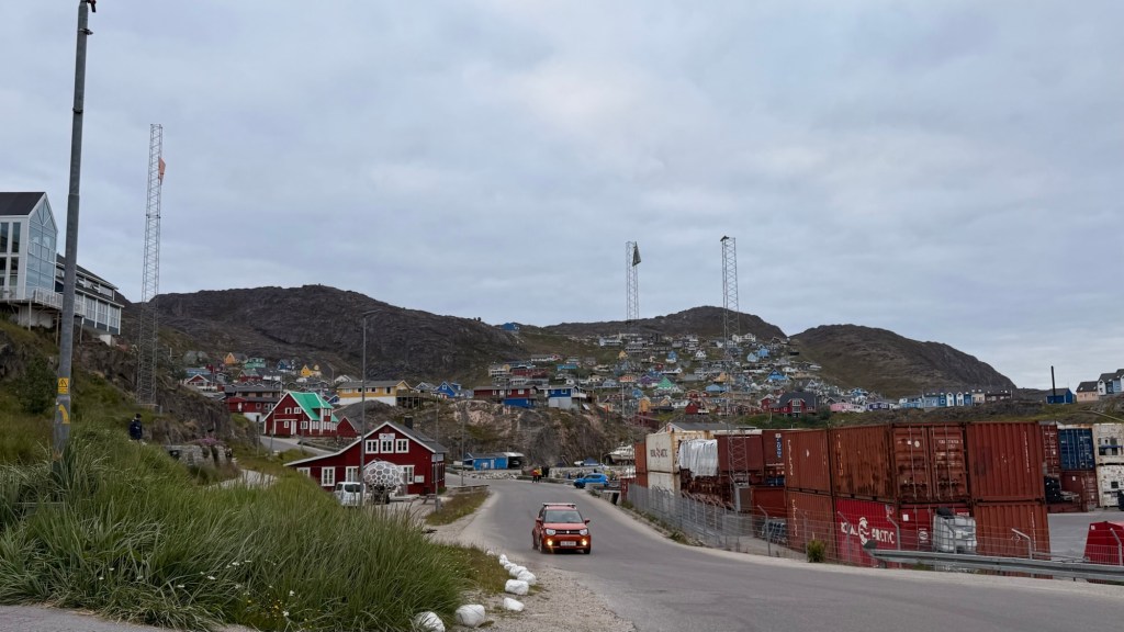
One great way to enjoy the sun without freezing to death or getting bitten by the bugs. MuseumThe town of Qaqortoq The new road to the airport
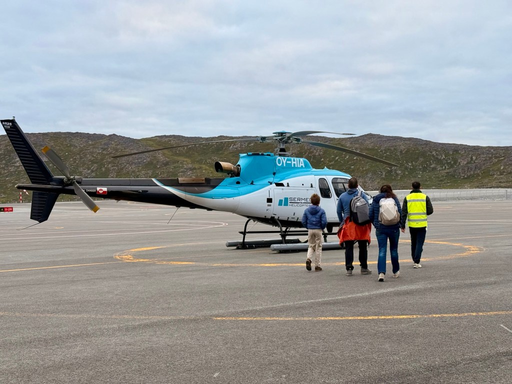
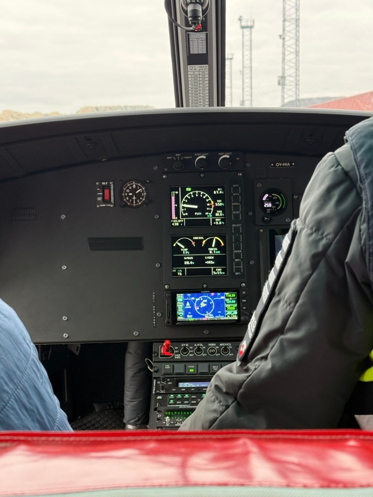
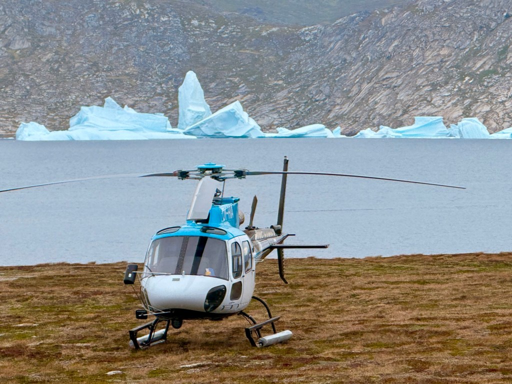
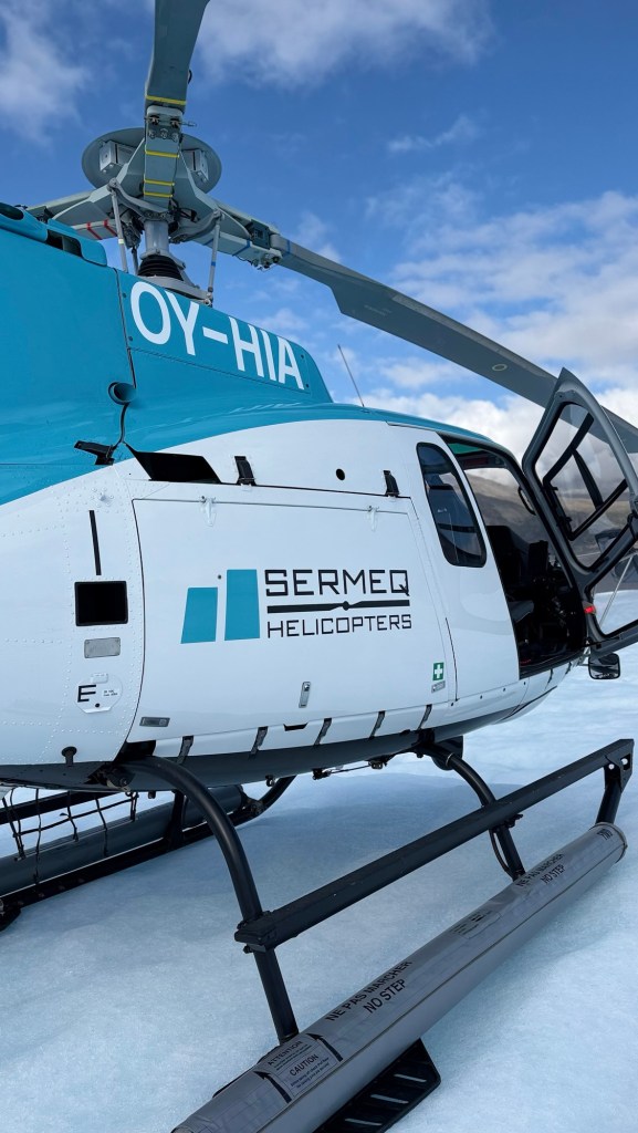
We start our helicopter ride…..
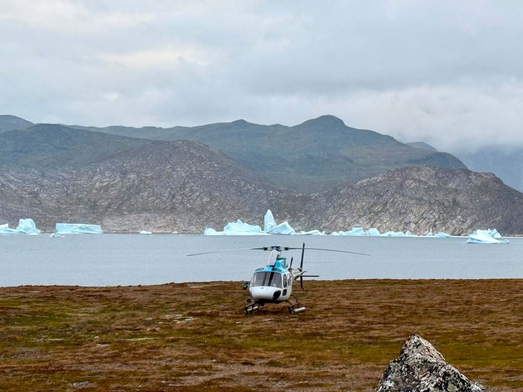
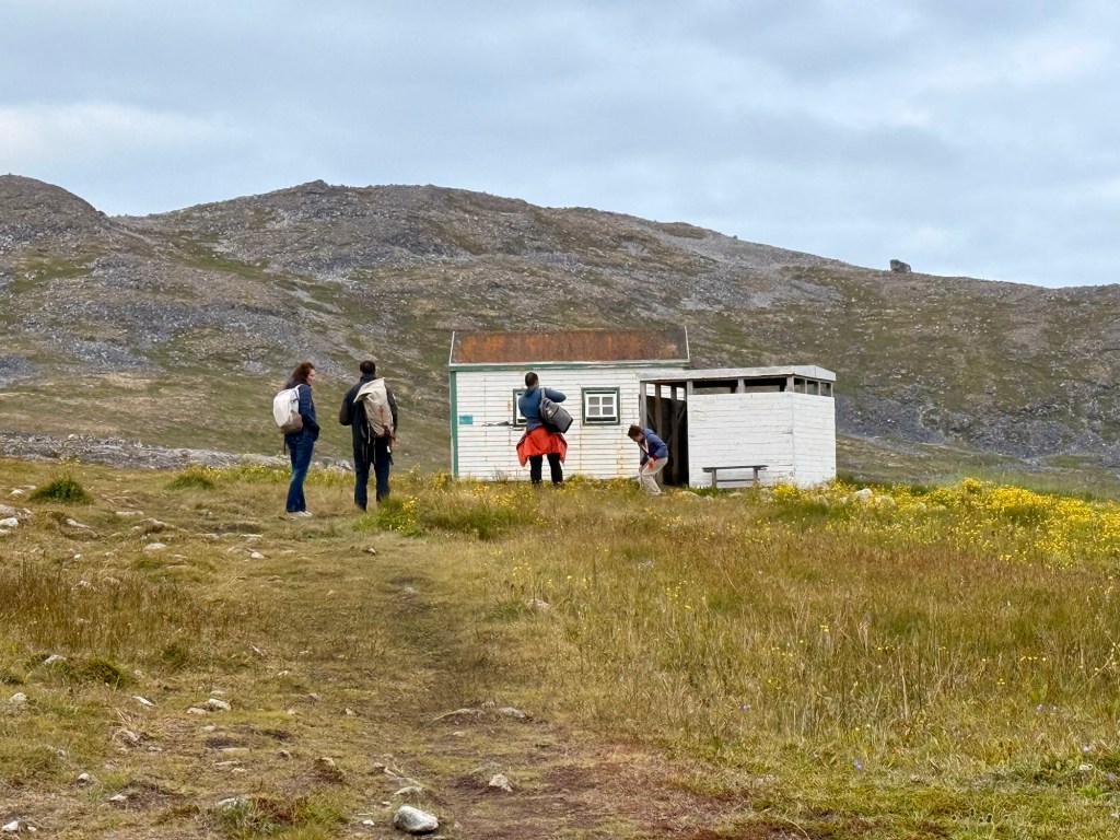
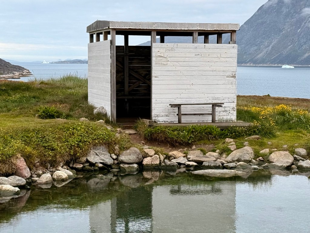
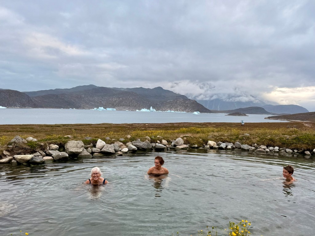
We stop for a dip in a hot springs pool in the barren mountaintop overlooking a bay full of icebergs
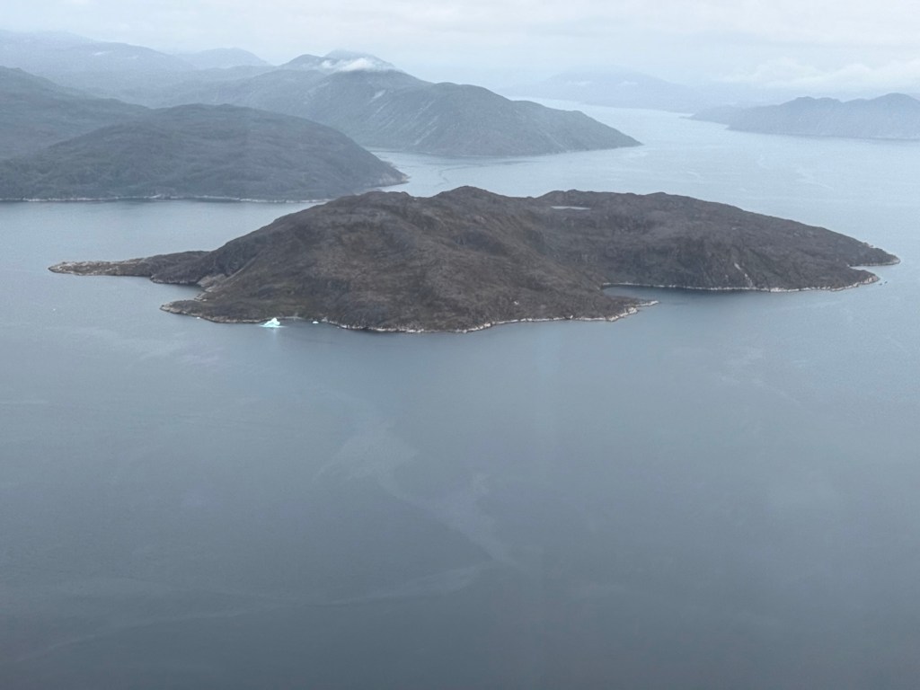
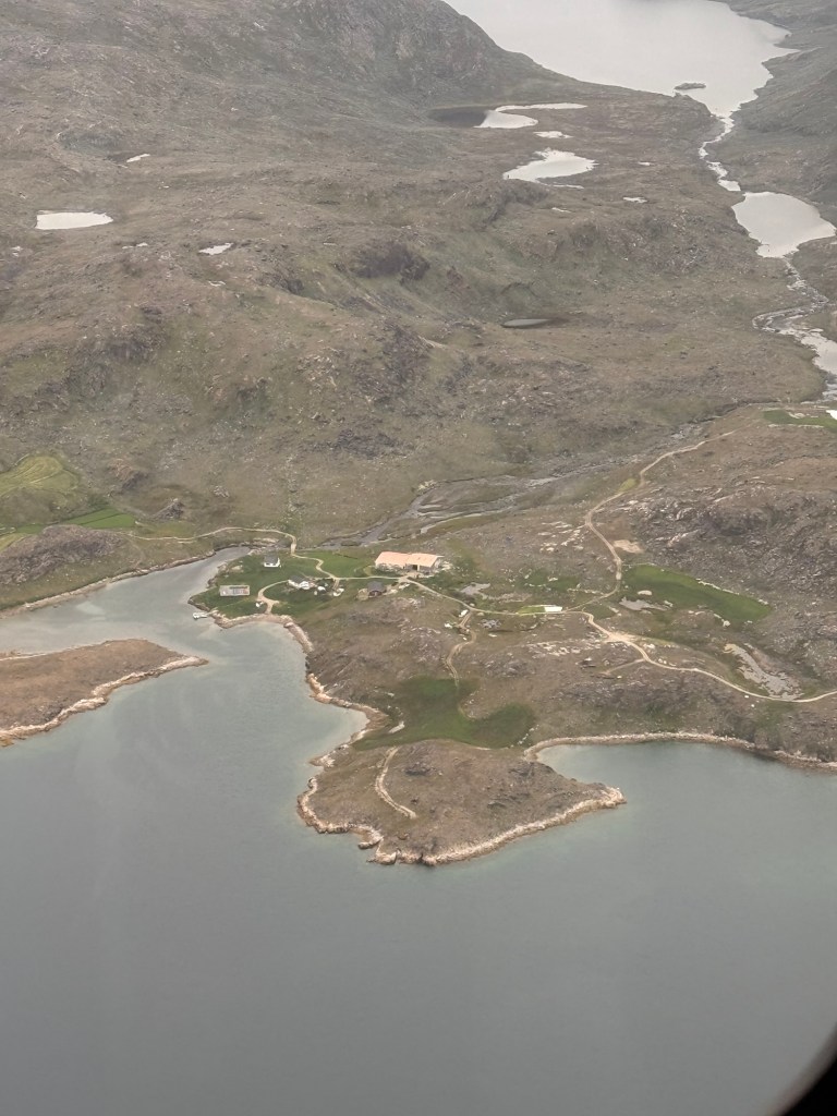
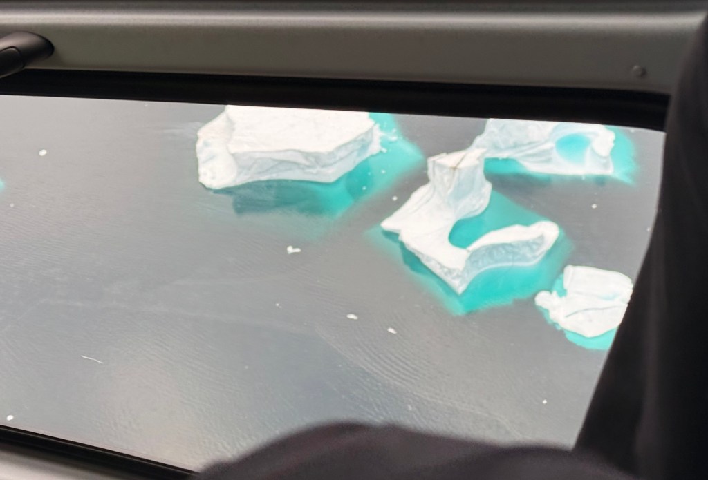
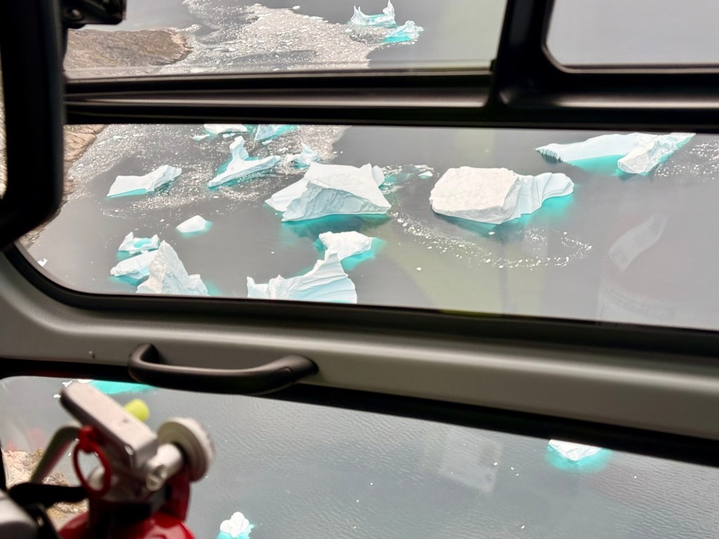
Icebergs from the air
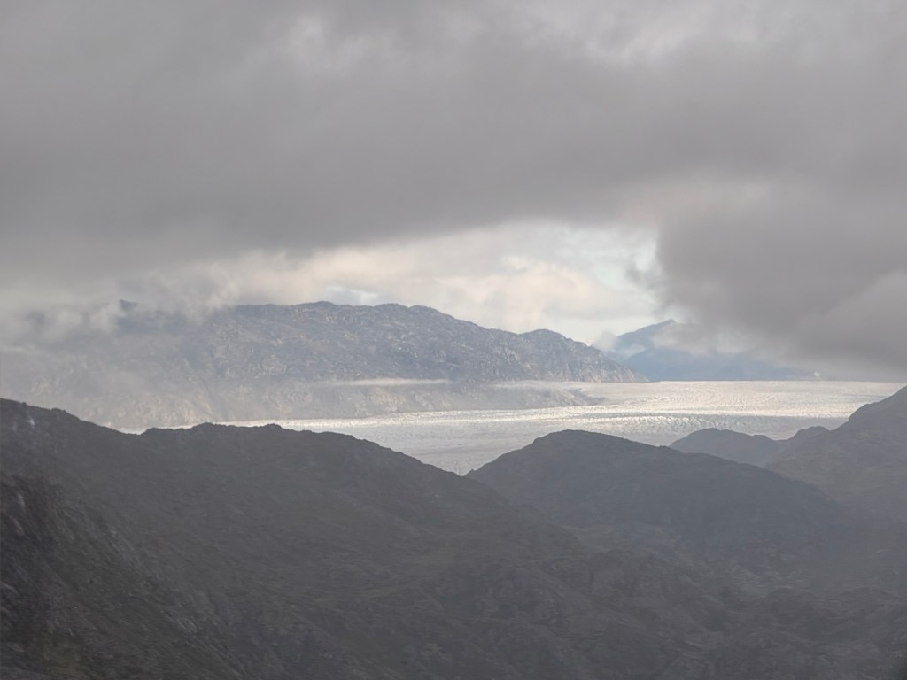
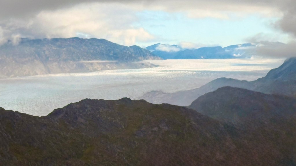
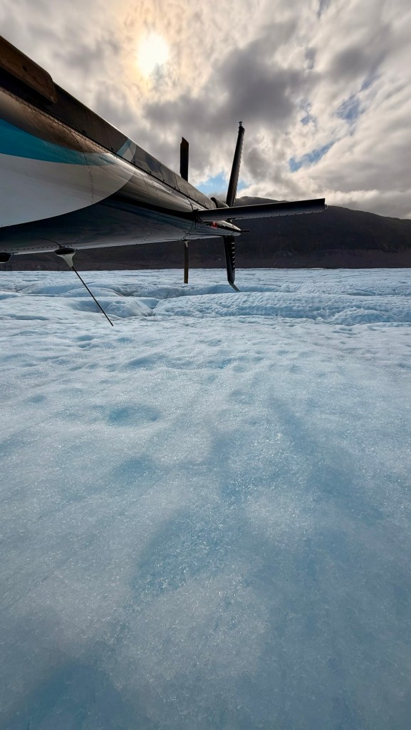
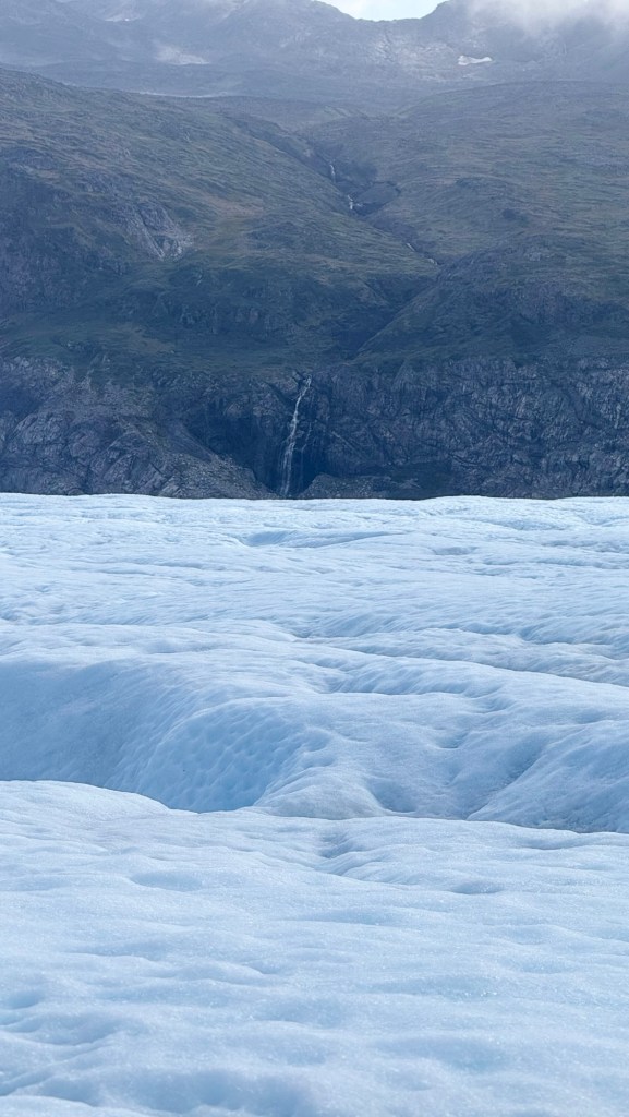
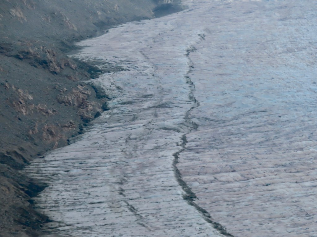
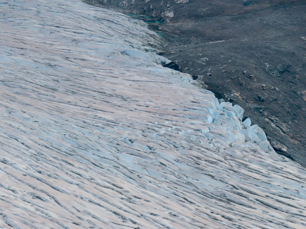
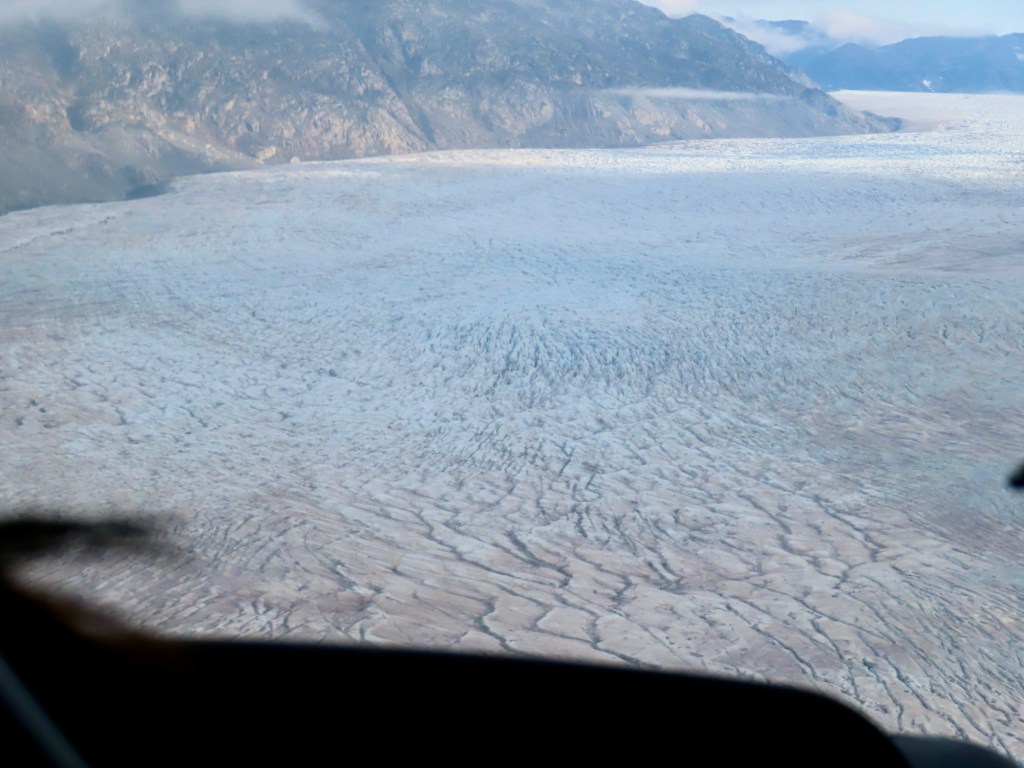
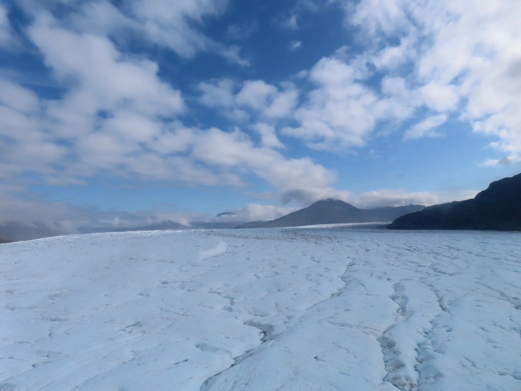
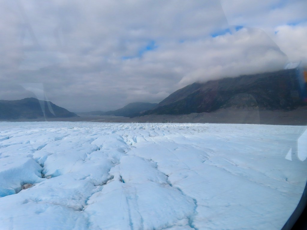
Next we land on a glacier.
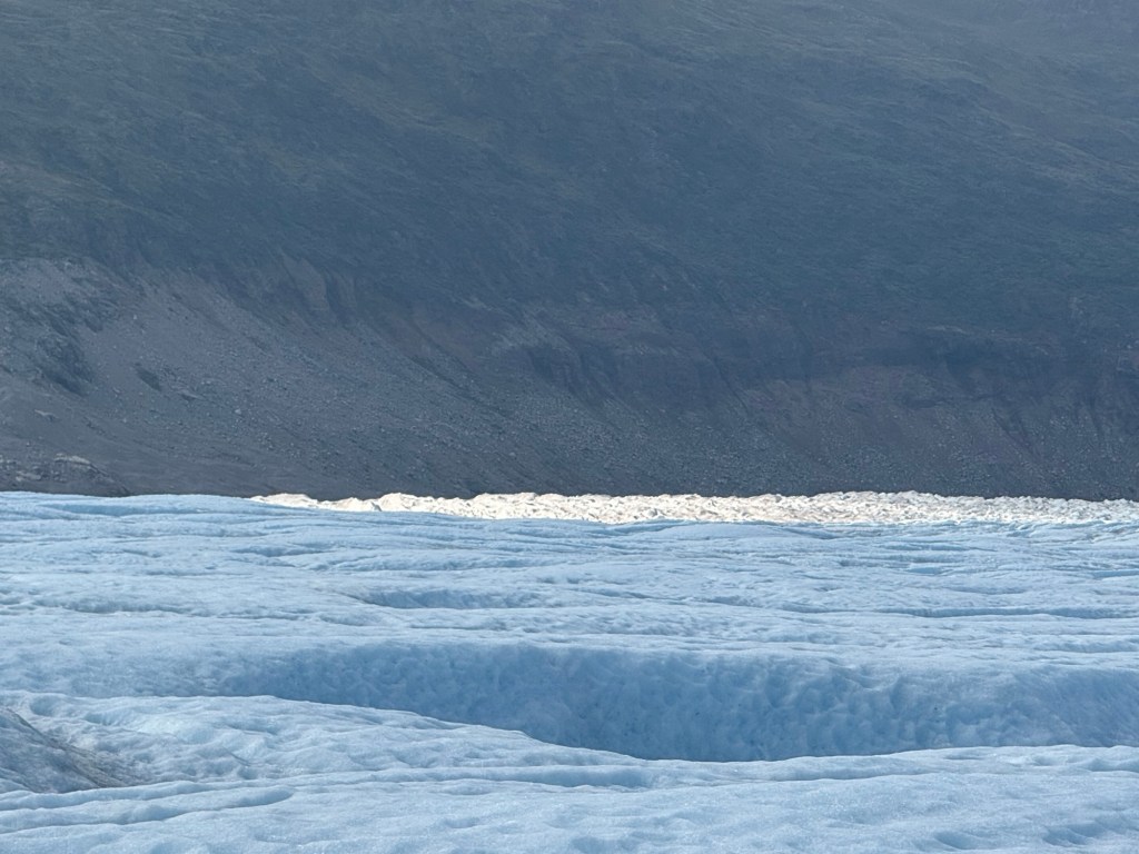
There it isThis glacier does not dump any icebergs into ocean. Instead it is melting before it gets thereIce in muddy waters
Landed….
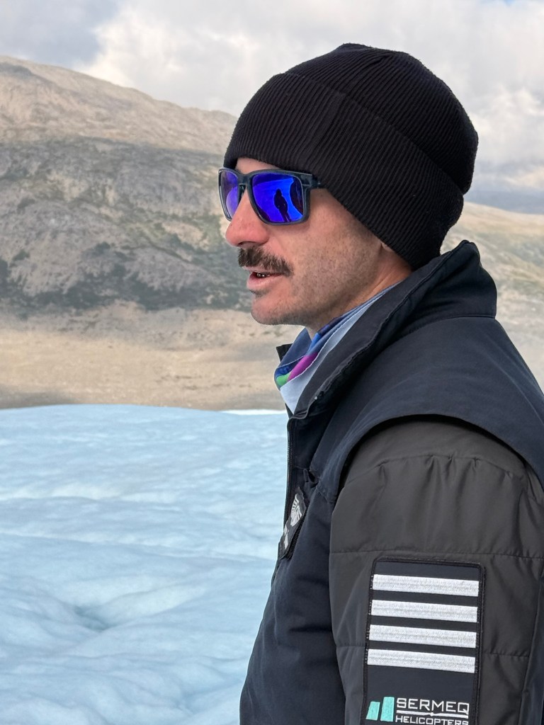
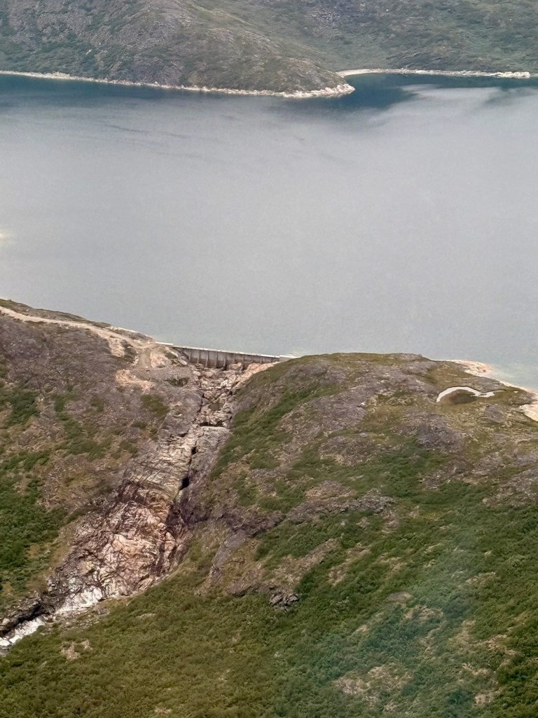
Our pilot Pierre, had received his helicopter training in my hometown Hydro damComing back to the airport The town from the ship
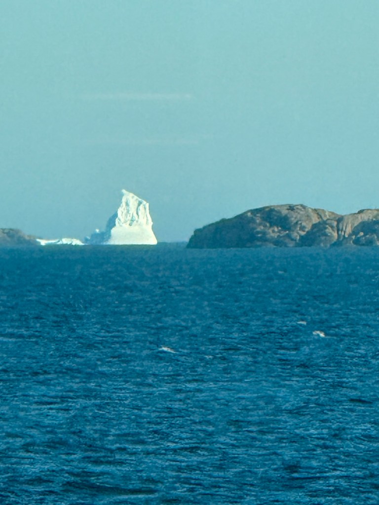
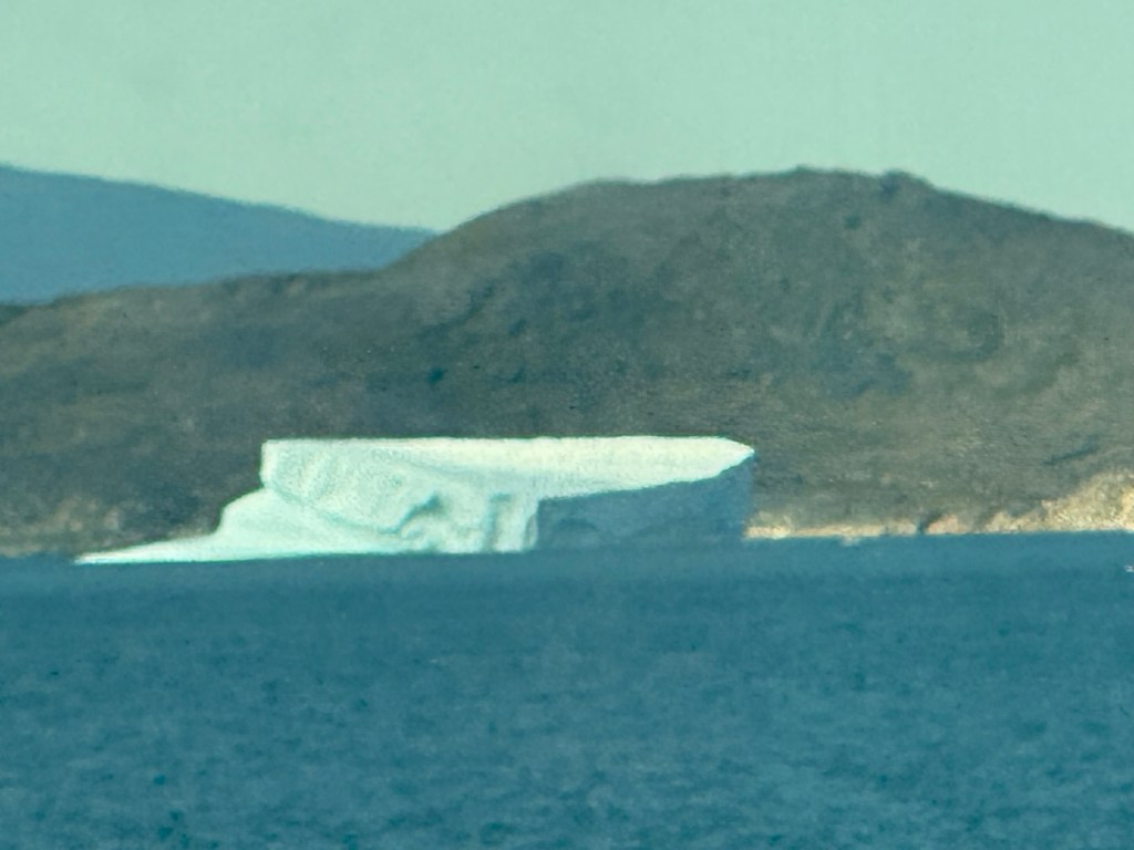
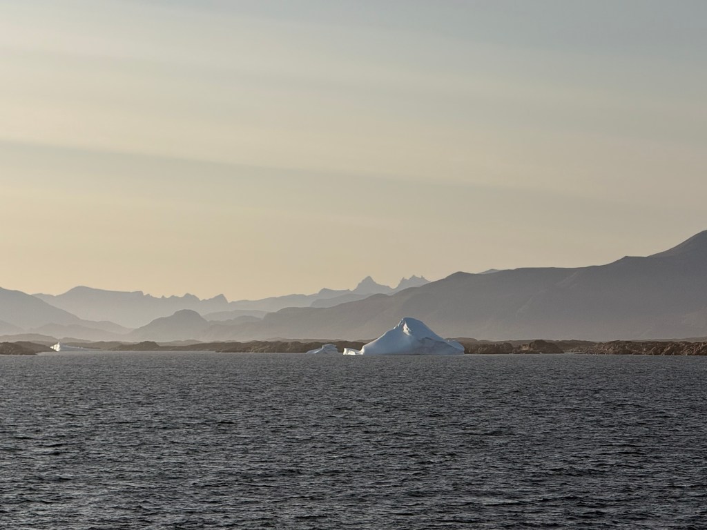
It’s a beautiful day with lots of huge icebergs
Humongous…. higher than the island
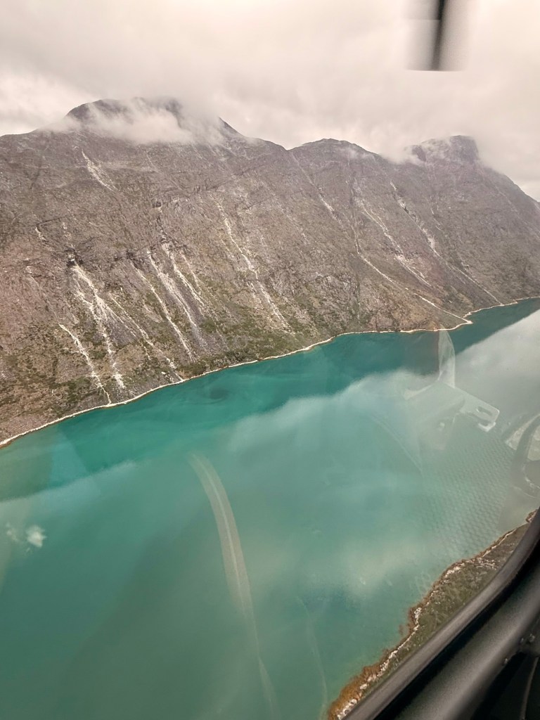
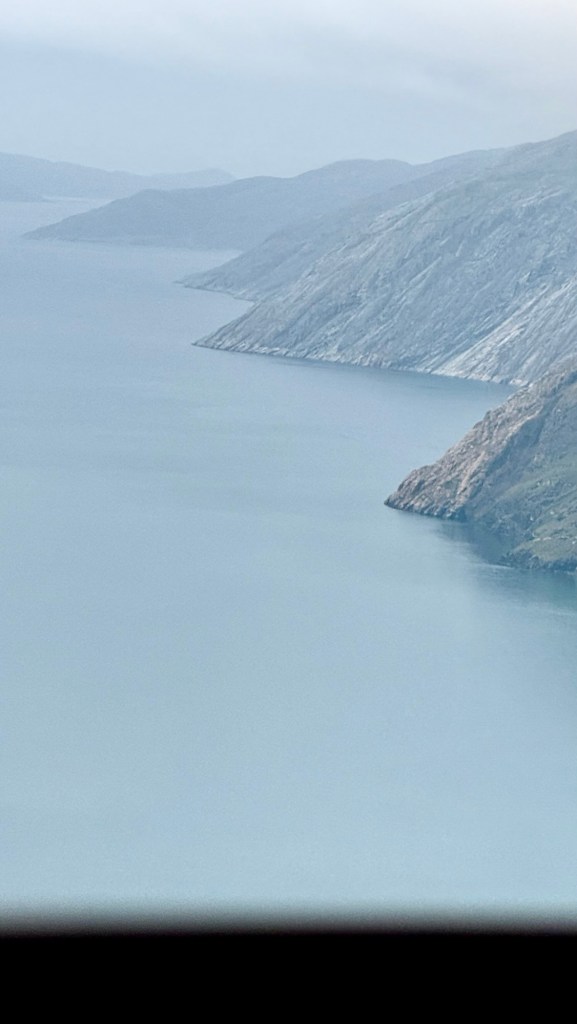
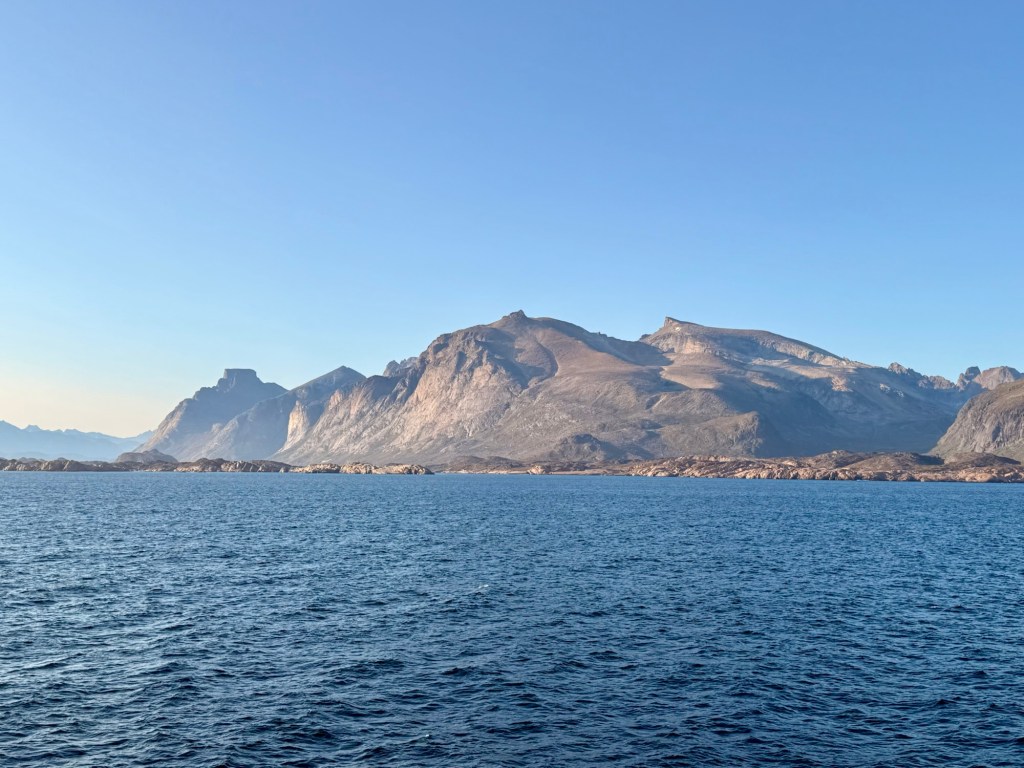
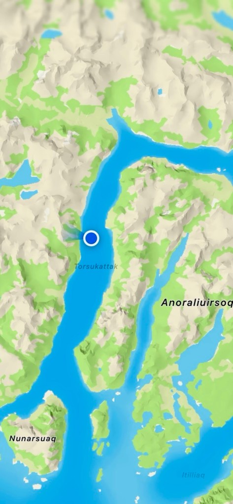
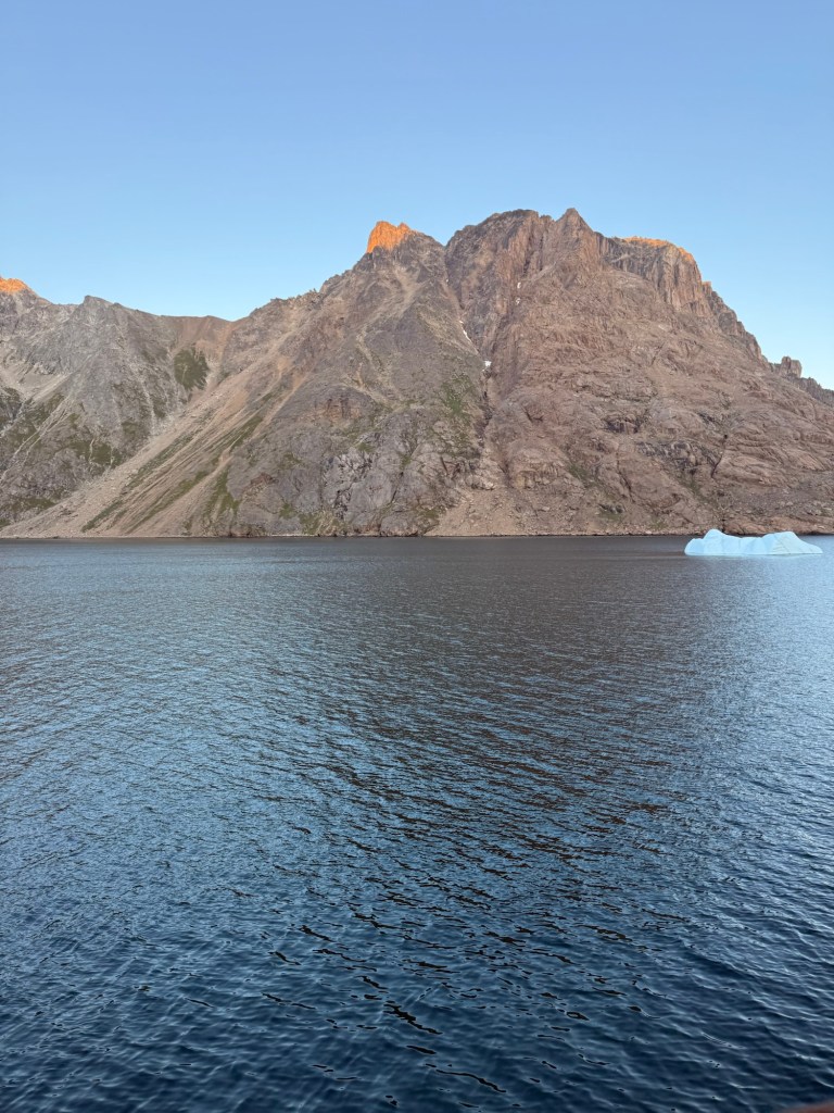
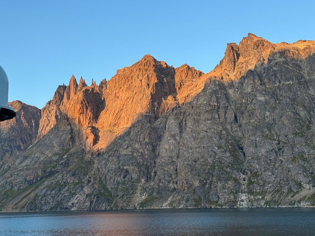
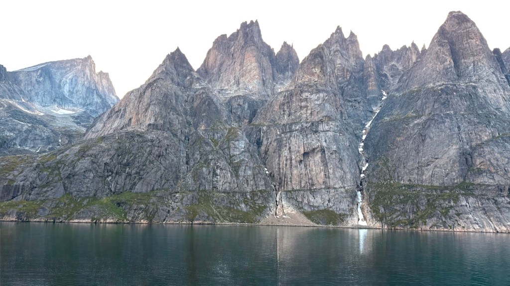
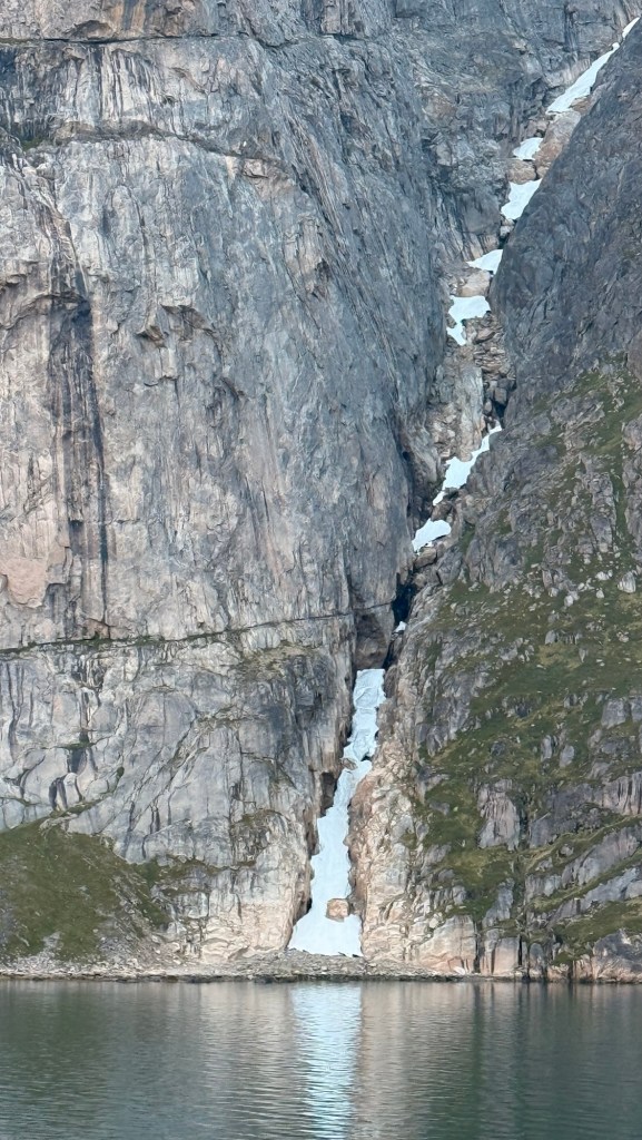
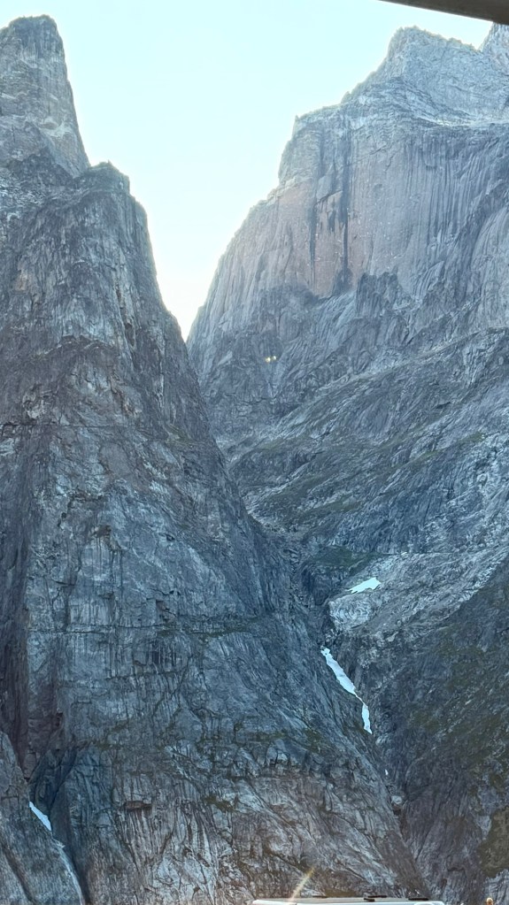
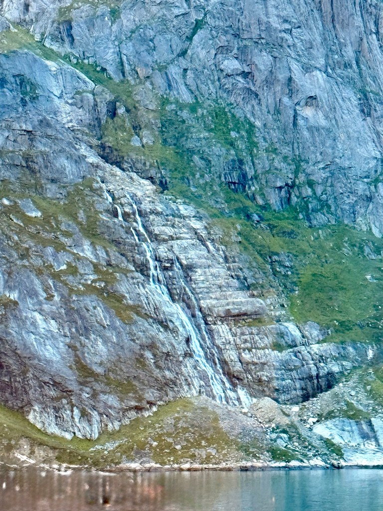
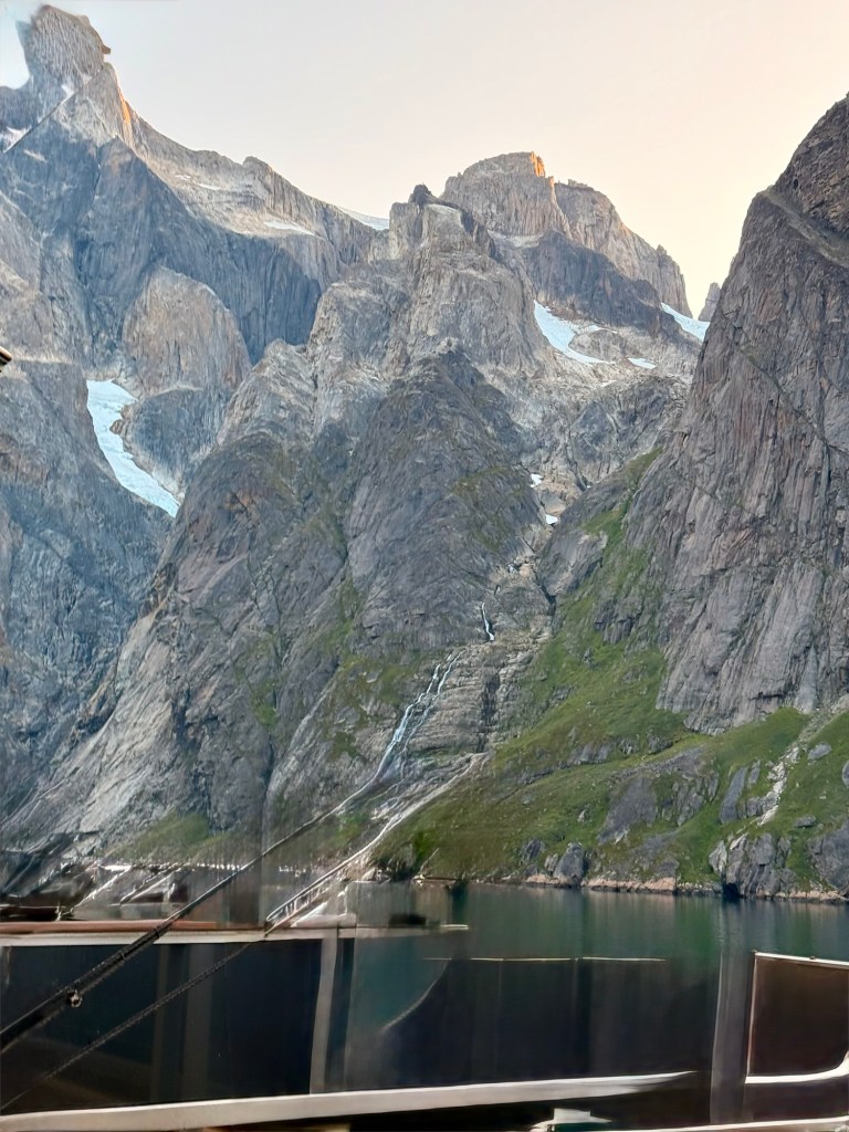
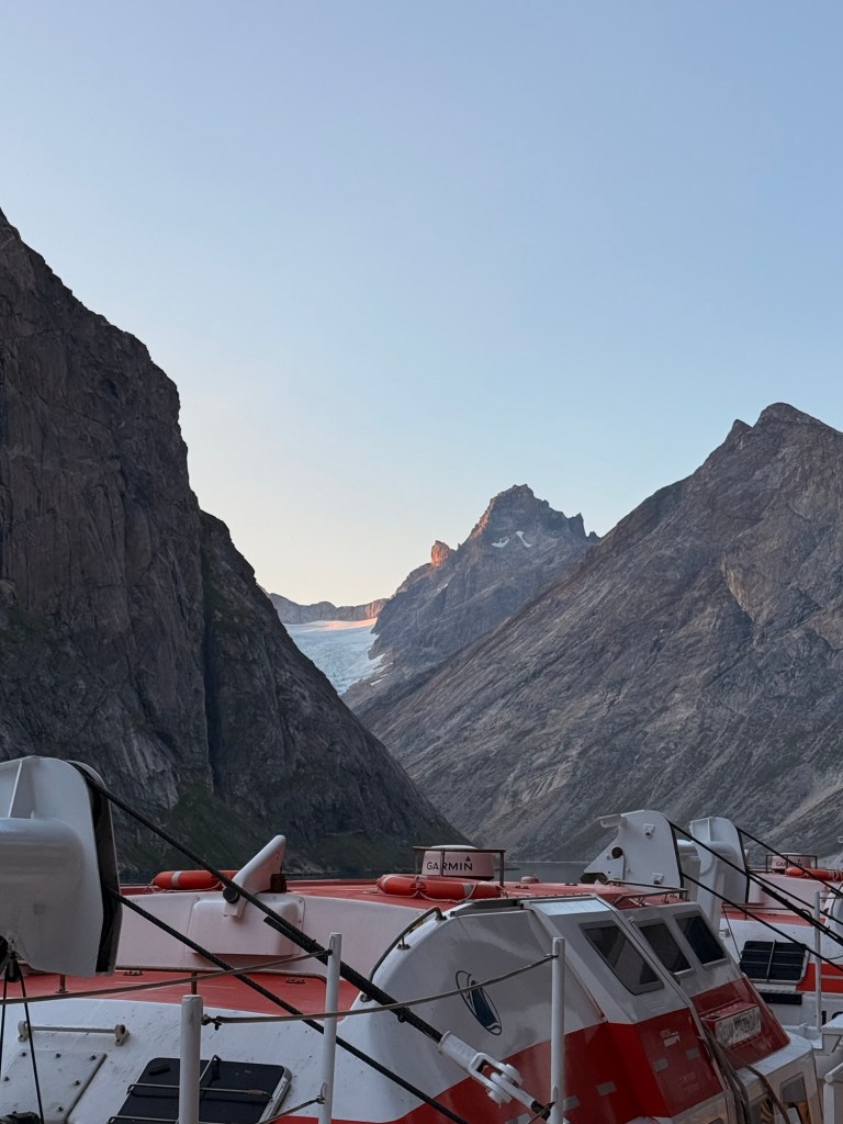
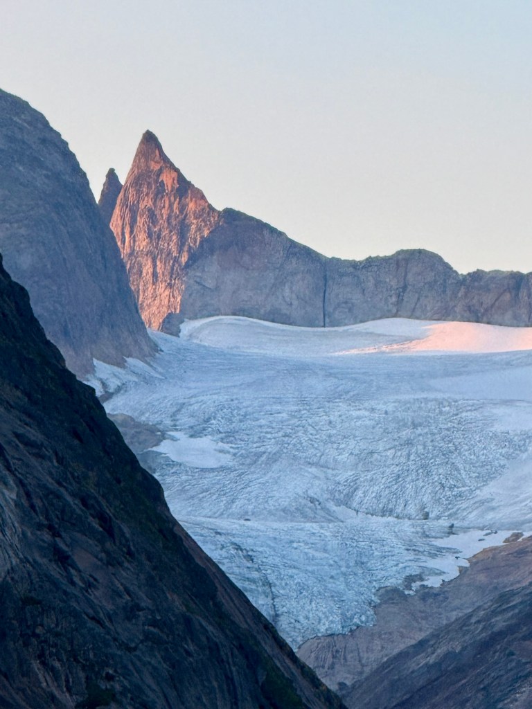
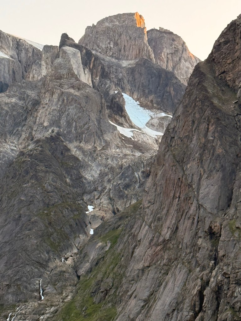
And then….., the captain decided to take us through what I believe was Prince Christian Sound. OMG…..Spectacular!
Glacier in the distance Closer Rock is almost perpendicular Wow….. this very large ship so close on either side. At one point had to almost stop and turn on the spot to get around the corner