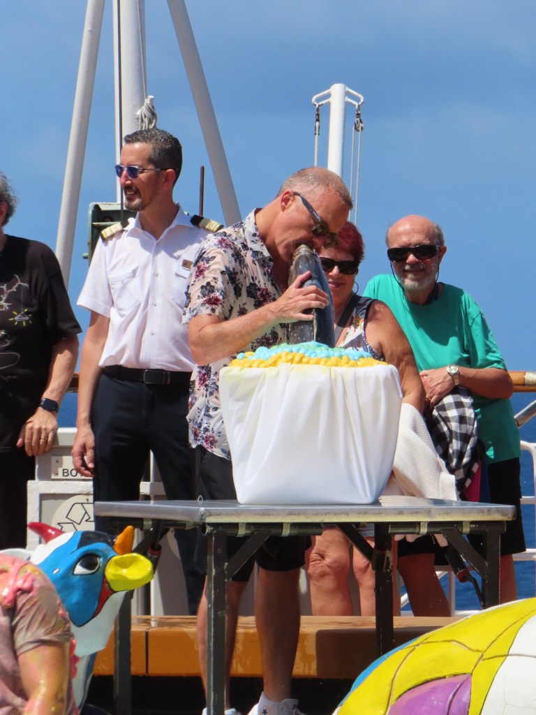
Below are from lectures on board
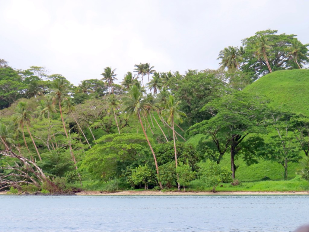
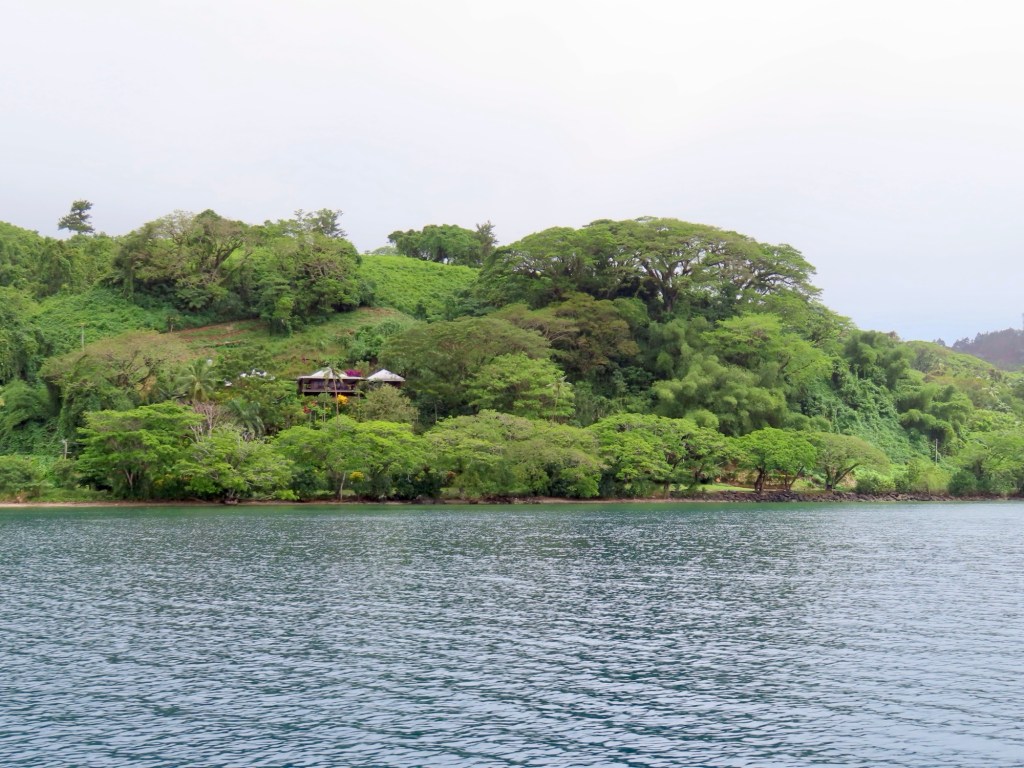
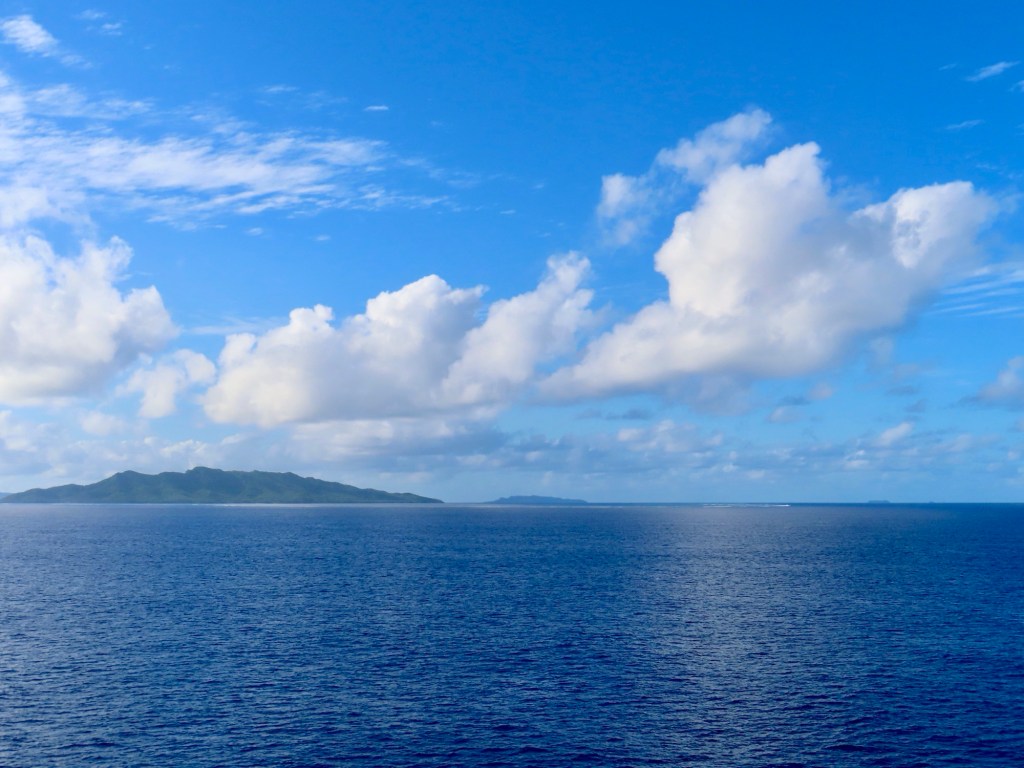
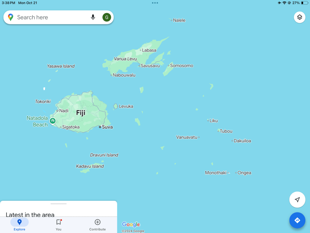
Tonga
Tonga is the only surviving monarchy of Oceania. It is a nation of 170 islands ….36 of which are inhabited with a population of only 106,000. Tonga has been in settled since 888 +/- BC. No foreigner can own land. They have always had an extremely effective navy. Europeans have never colonized. In 1616…. the first Europeans set foot… In 1773 Captain Cook arrived. Tongans are very religious. Although the Europeans never been colonized, their missionaries did by converting them to Christianity. George 1 Toupu, was the first king of modern Tonga. George 11 brought in British. After his wife died when daughter was 2, he remarried. He sent his daughter to NZ to prevent her from being killed because of the tradition that if the father remarries, the children of previous marriage are to be killed..
She was Salote 111….the daughter and first queen, was 6’3”. She lost her mother at 2, and was orphaned at 18. She brought education to girls. Tongans are extremely educated . They have the highest numbers of PHD’s in world. Parliamentary system….constitutional monarchy.
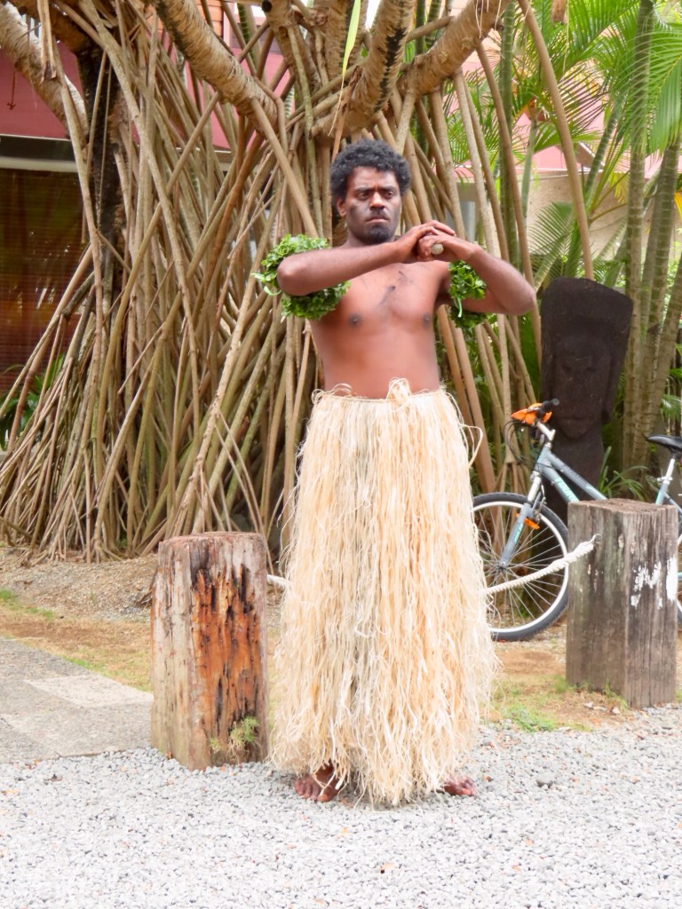
Tradition. It is a matriarch society. Inherit through women. “Fahu”…. (father’s oldest sister) accorded the highest levels of respect at all formal and informal occasions from funerals to weddings and births. She acts as the family matriarch and oversees her siblings, nieces, and nephews.
DO NOT ever WEAR BLACK on Tonga. It is a sign of mourning.
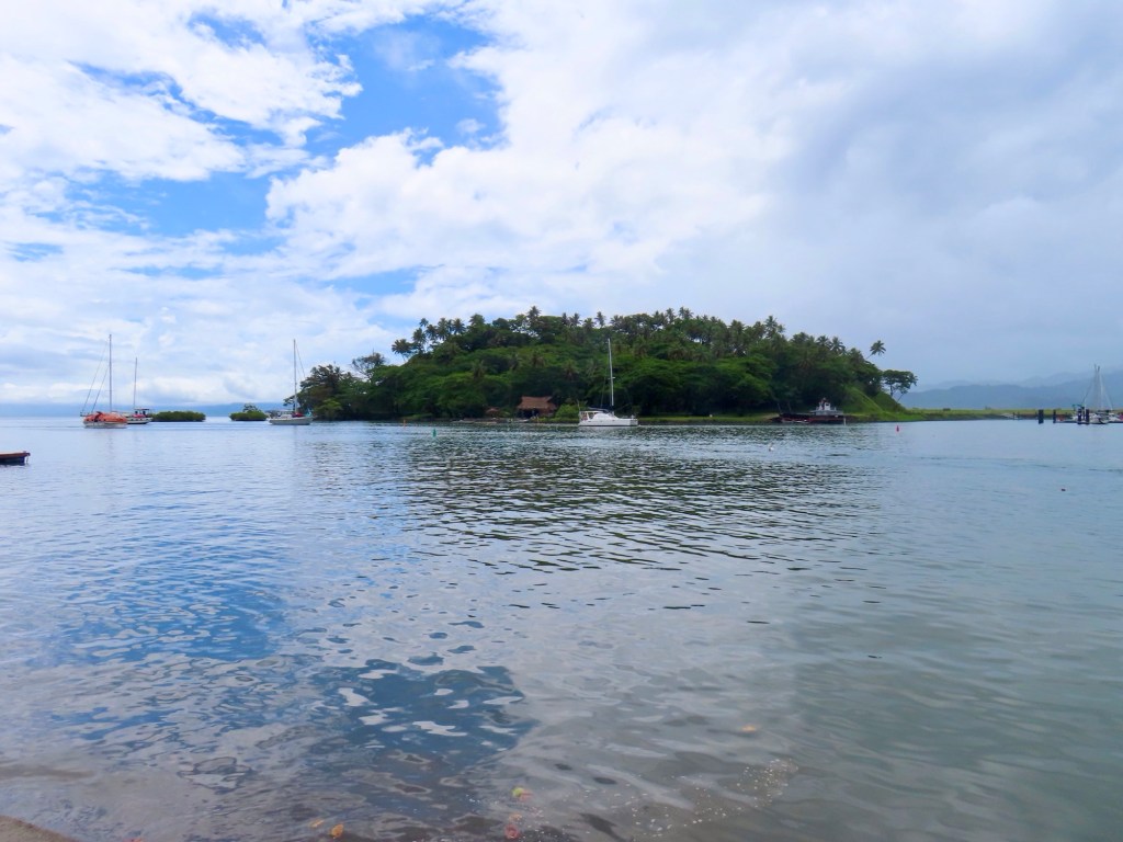
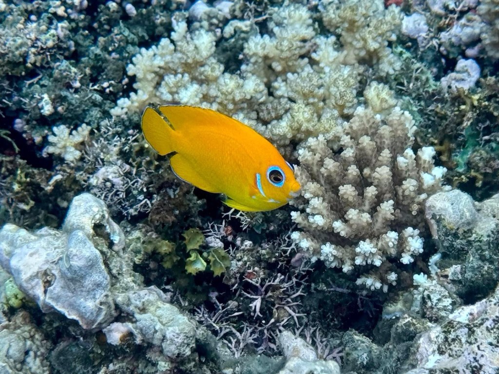
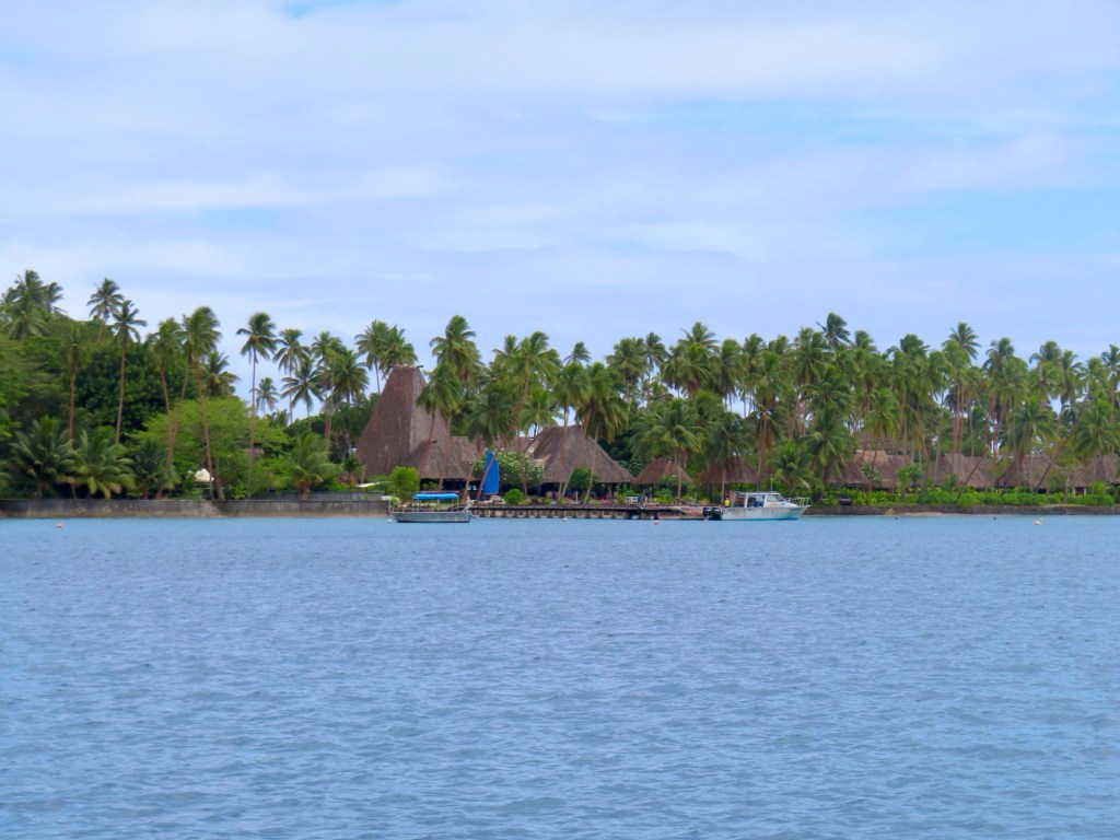
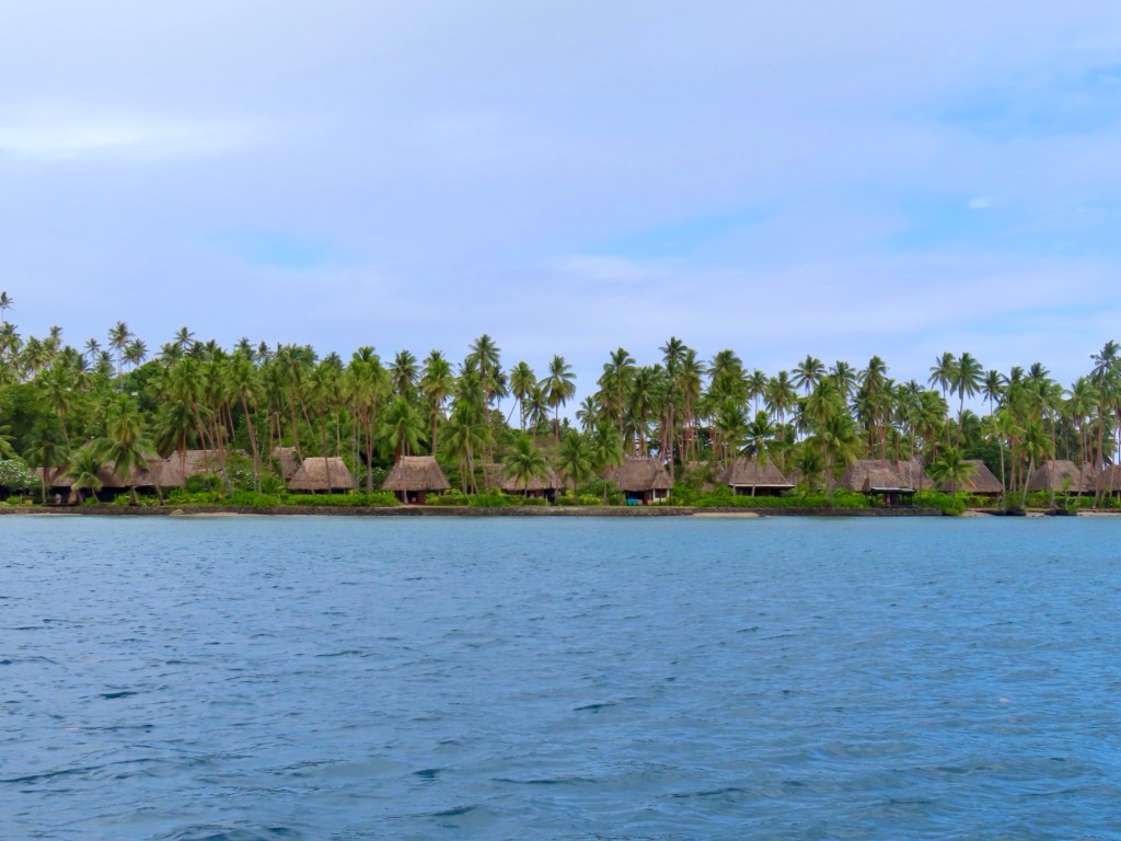
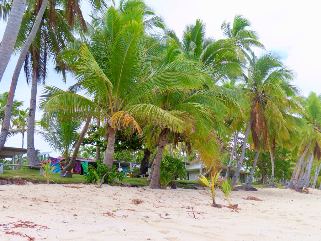
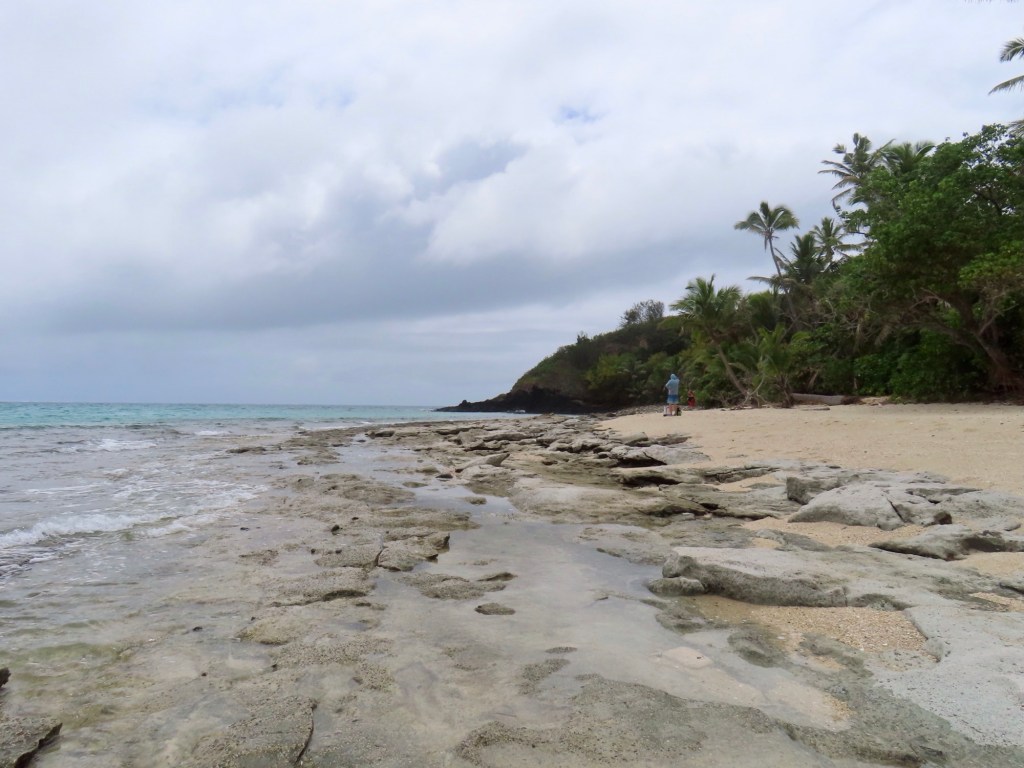
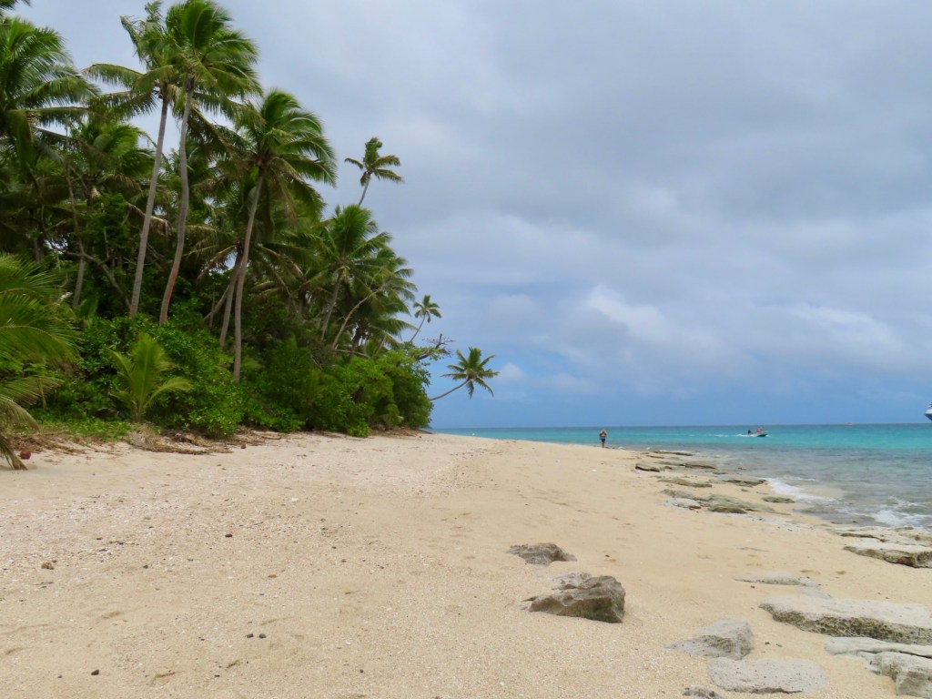
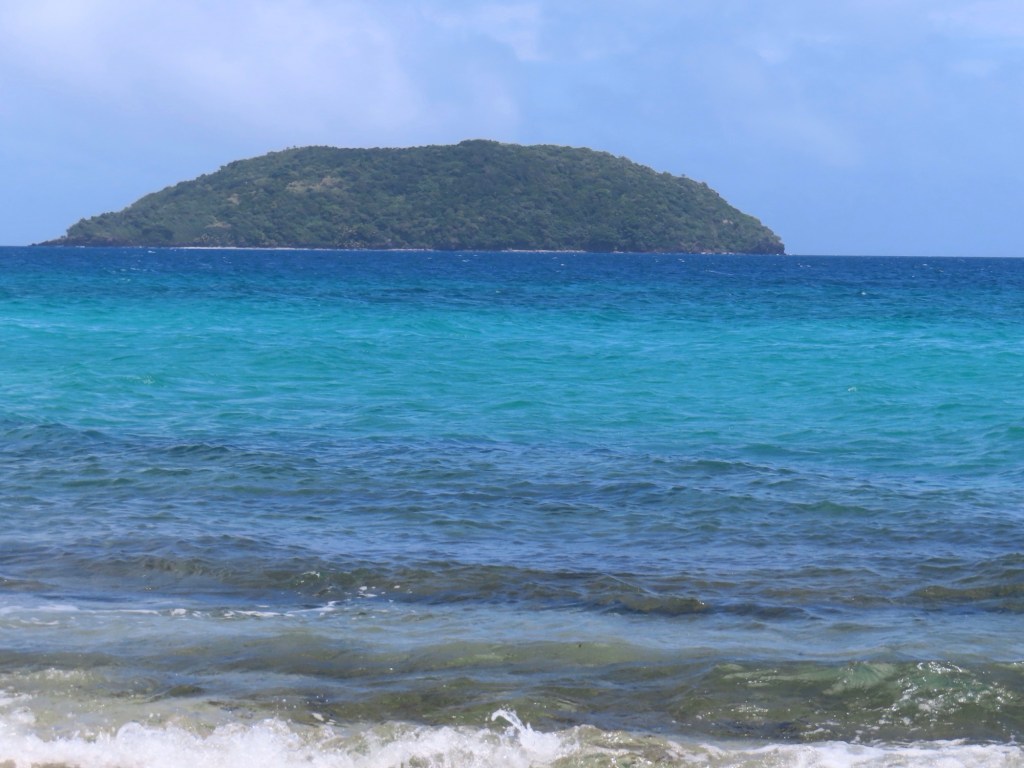
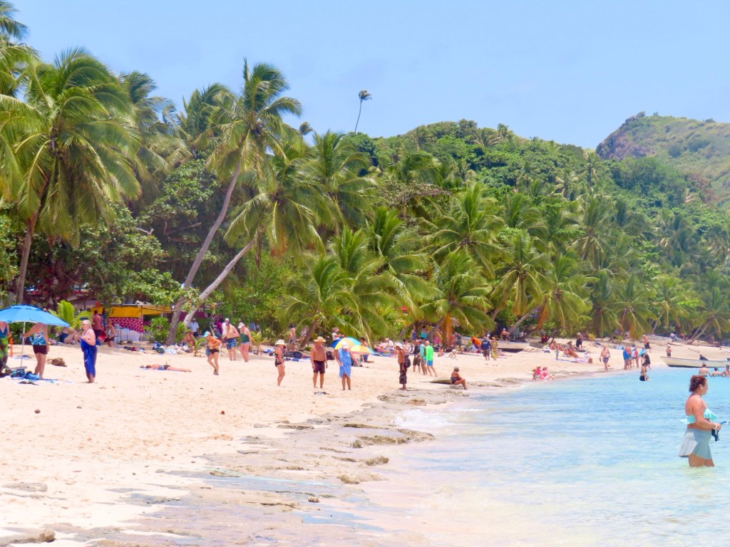
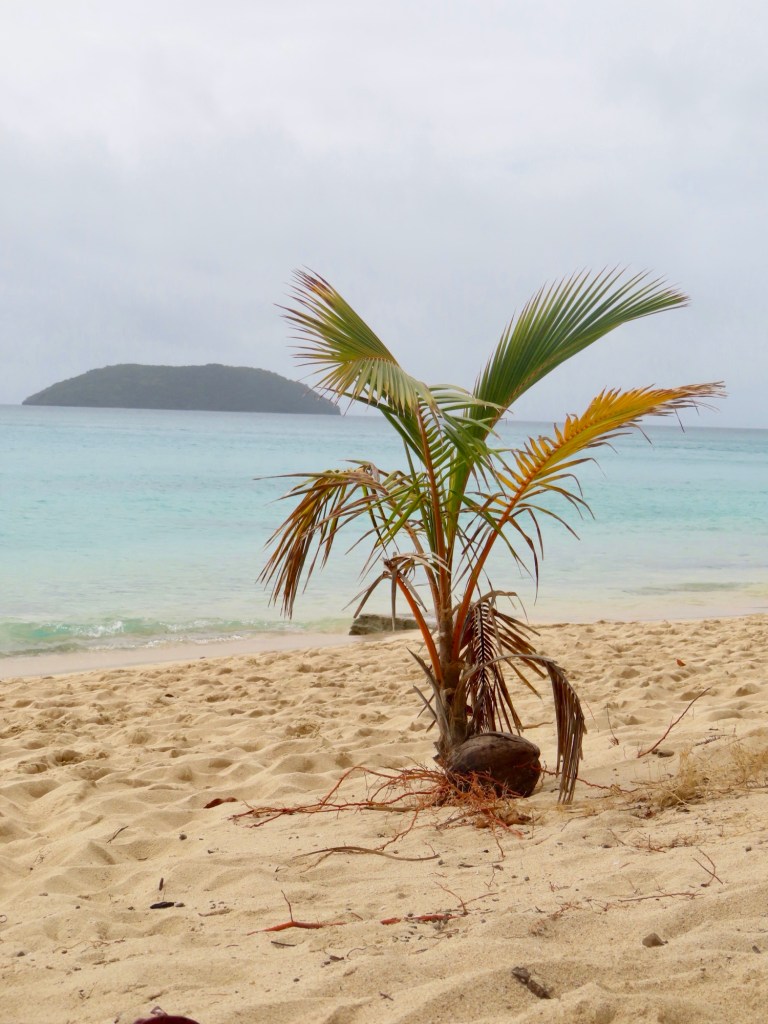
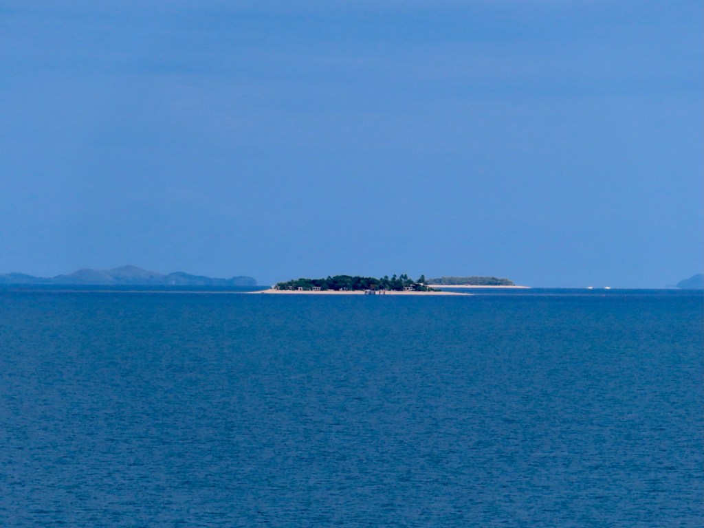
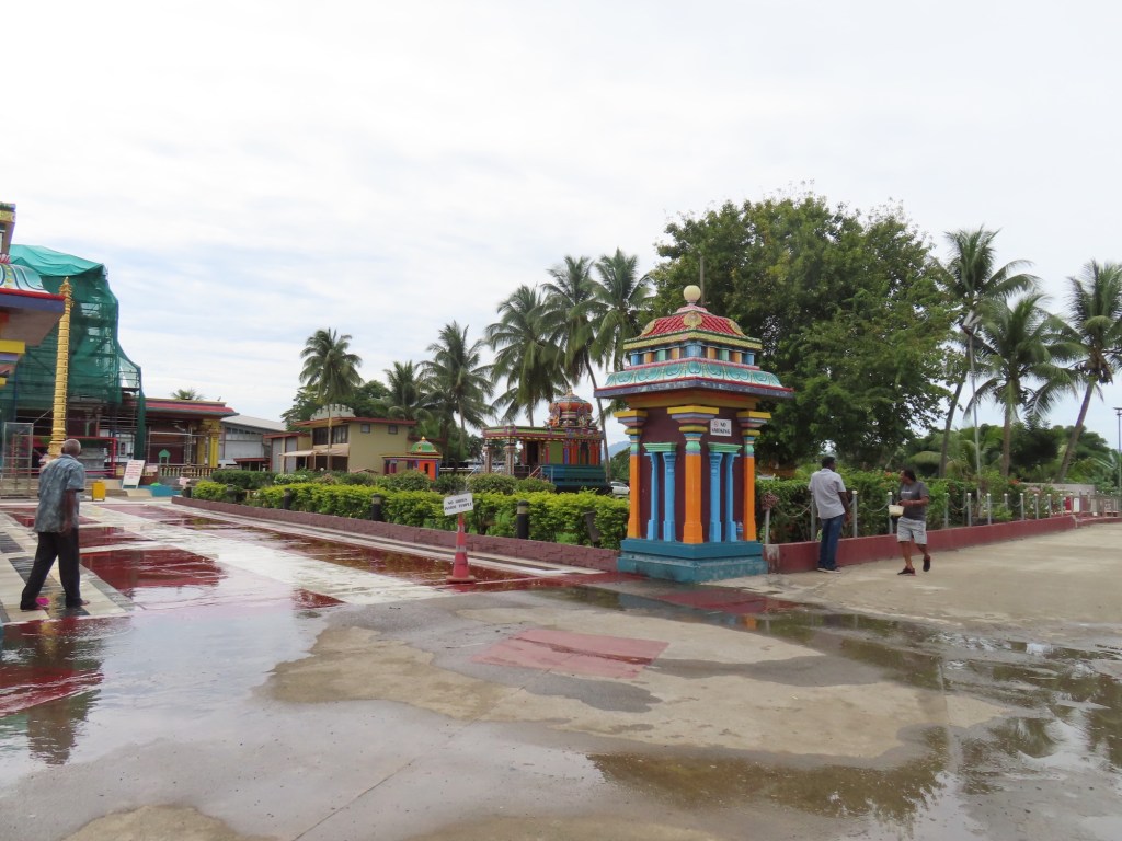
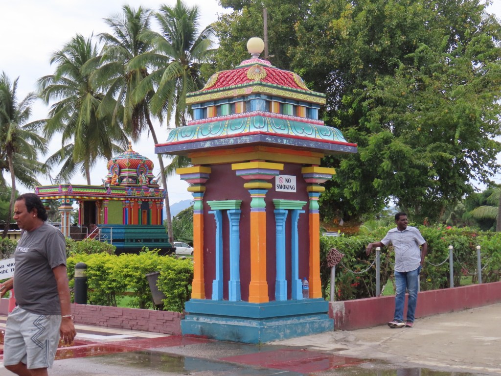
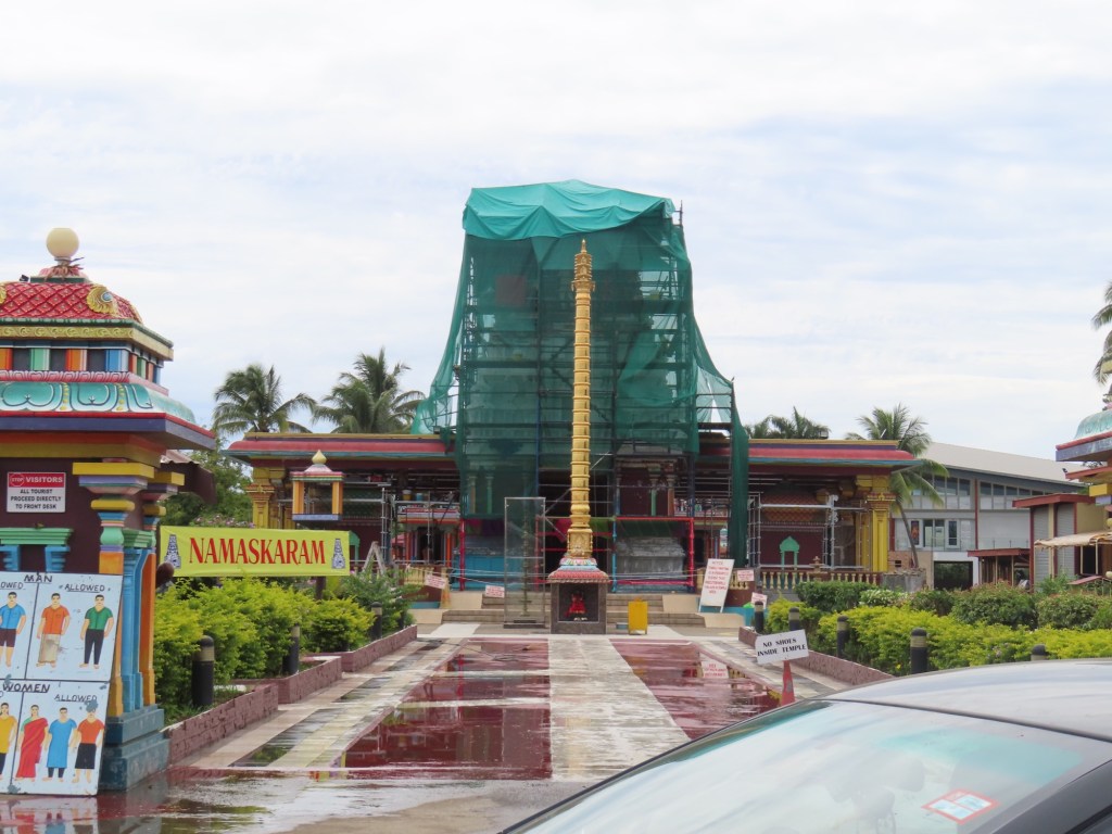
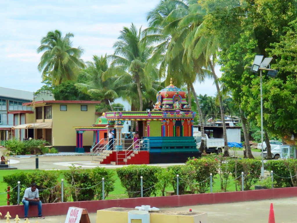
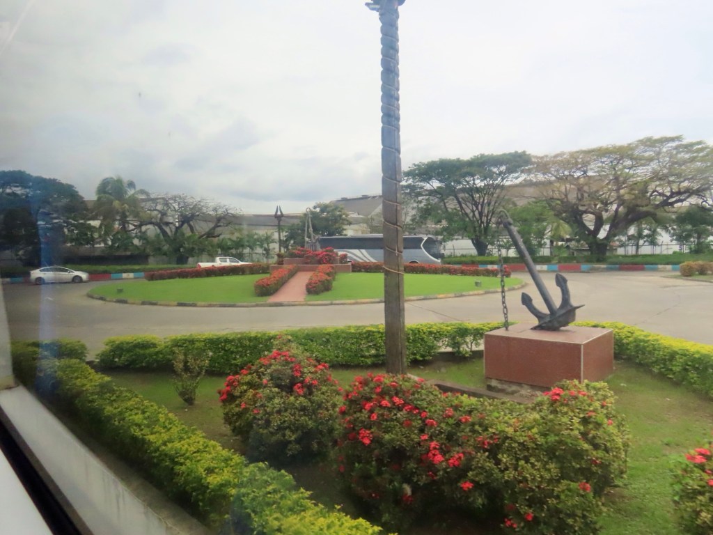
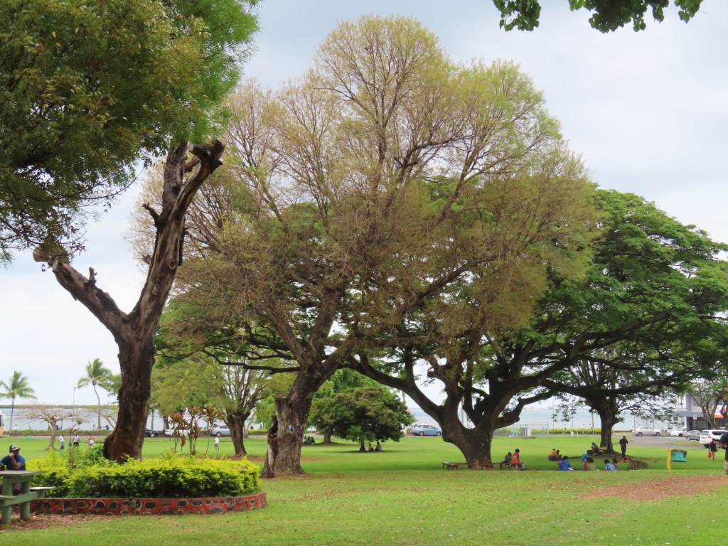
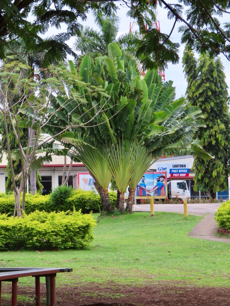
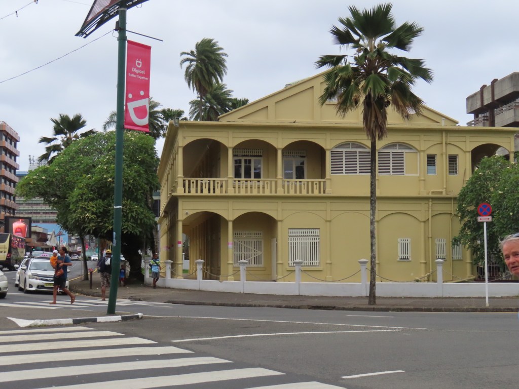
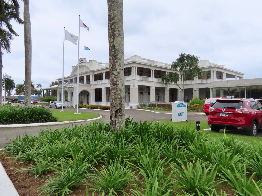
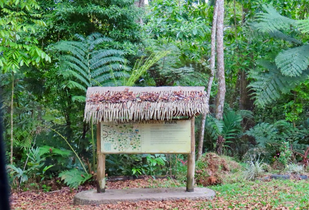
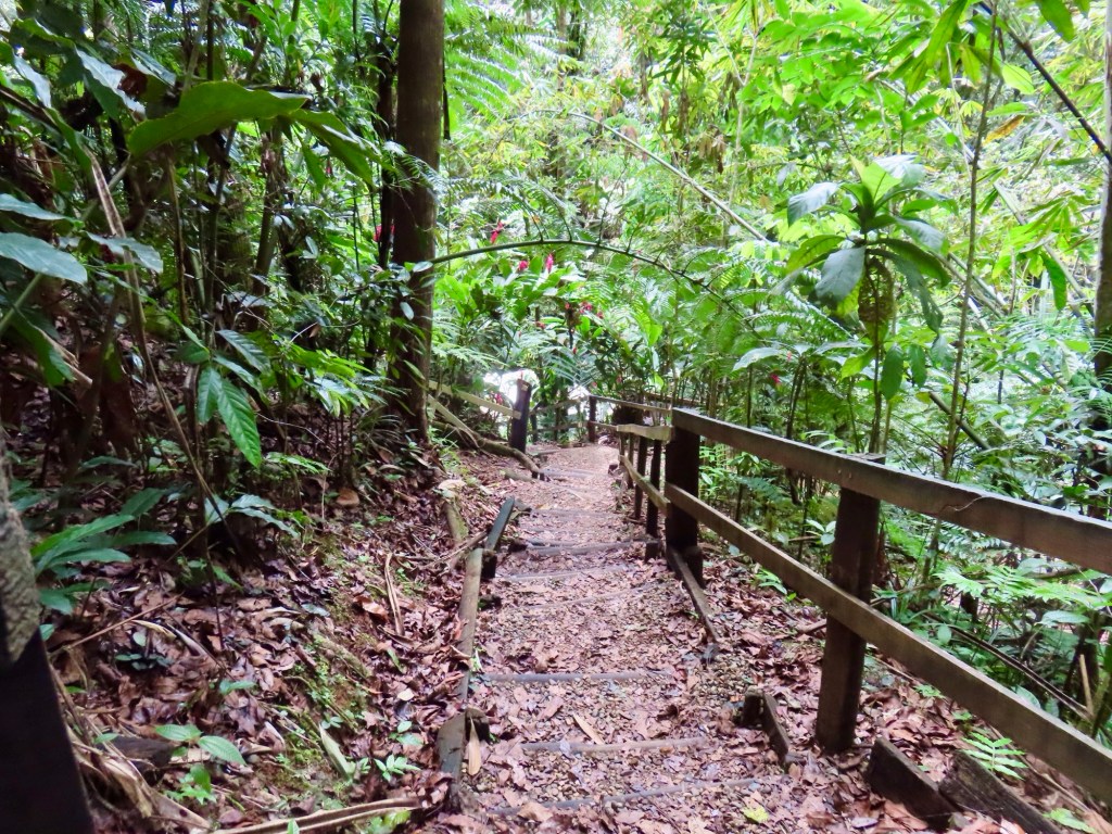
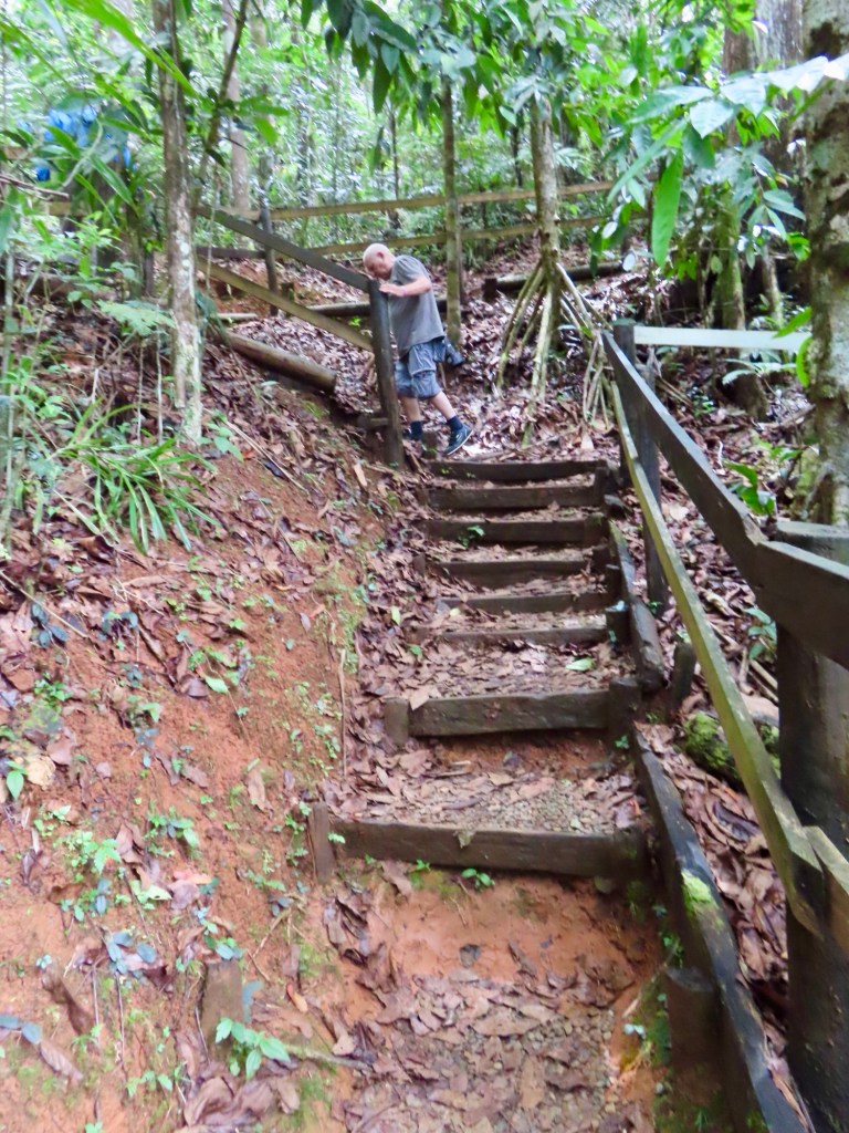
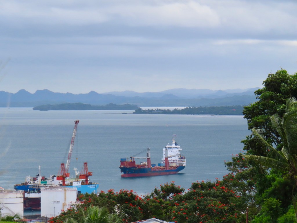
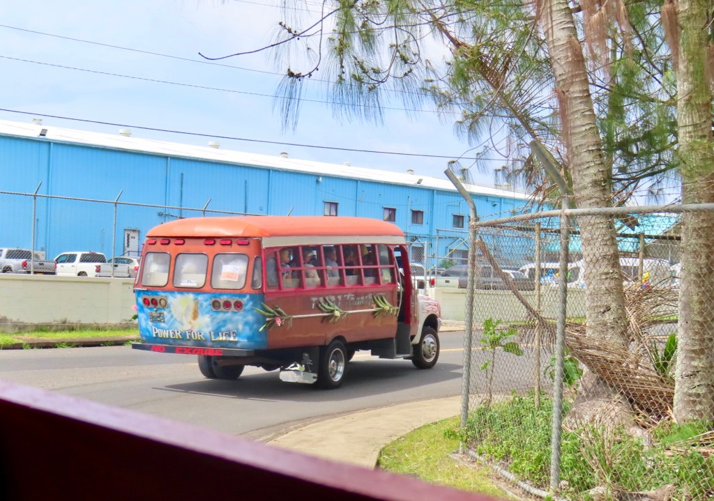
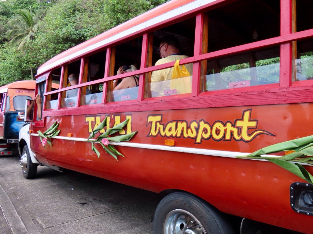
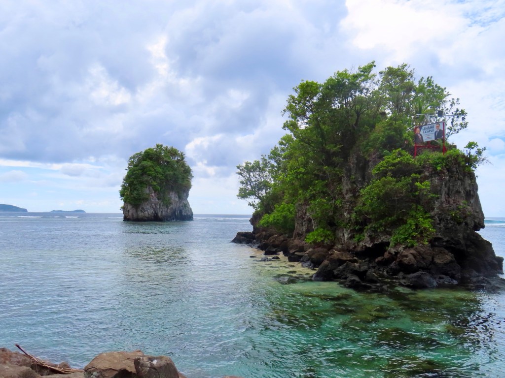
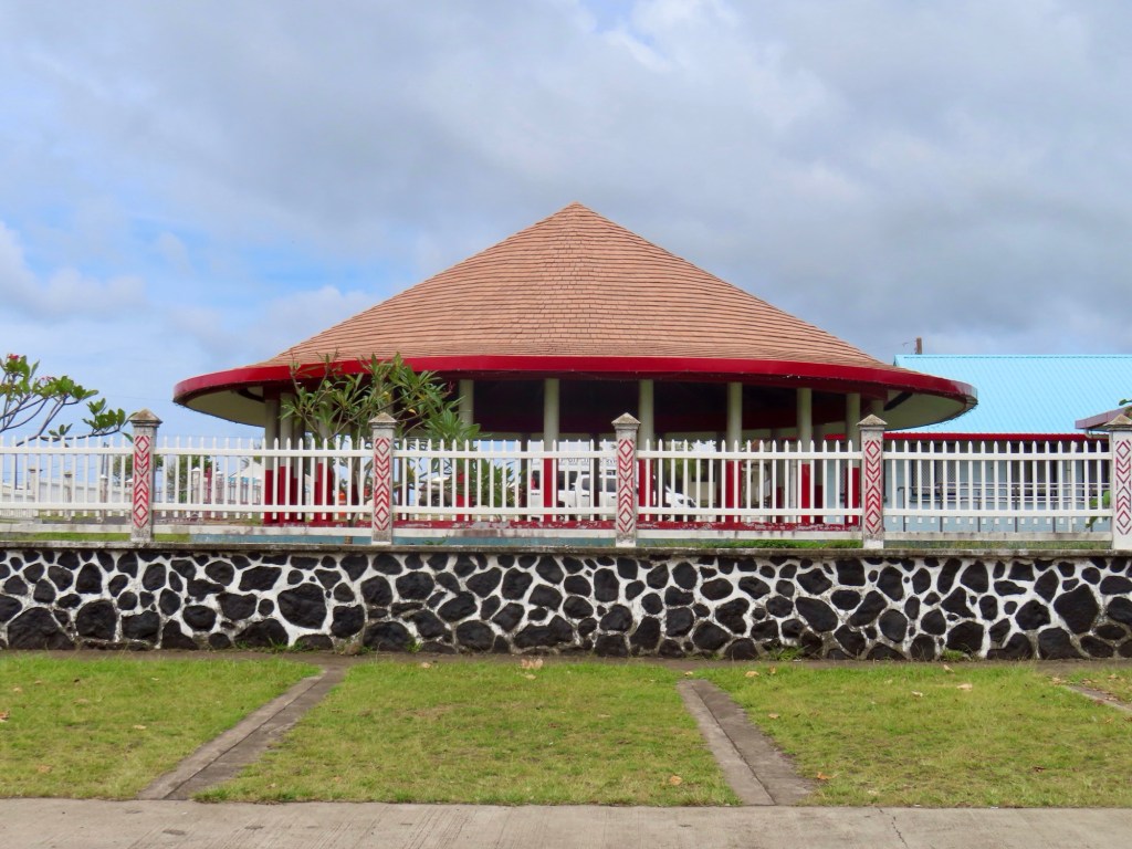
First stop….Nuku’alofa….Things to see:-Royal Palace, Royal Tombs, Free Church (there is no access because it was damaged by cyclone. It was made from coral)
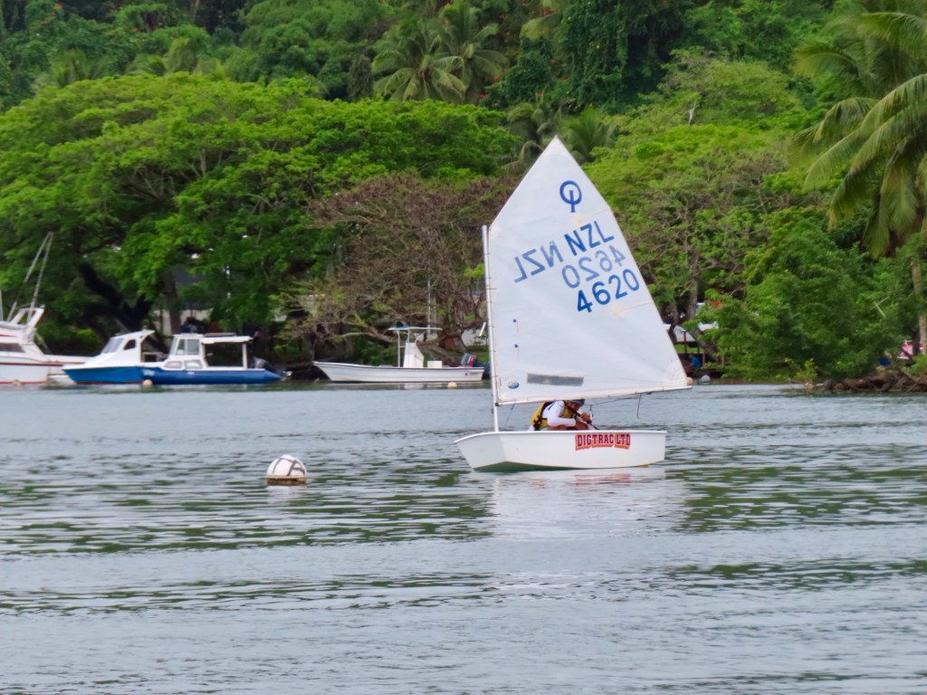
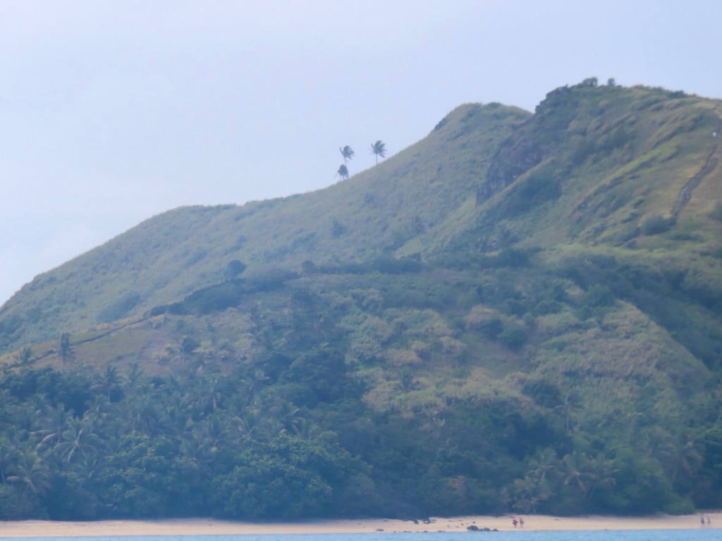
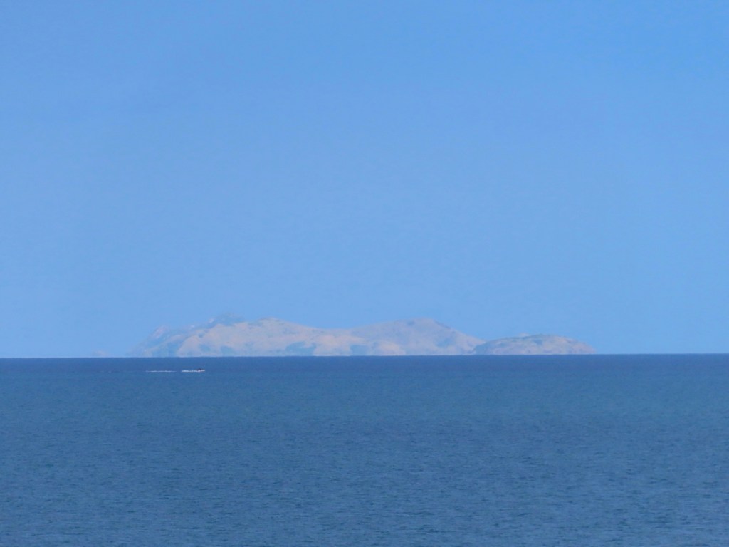
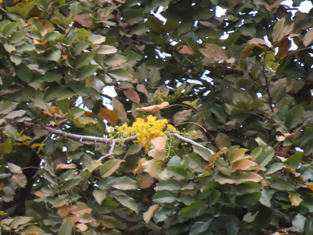
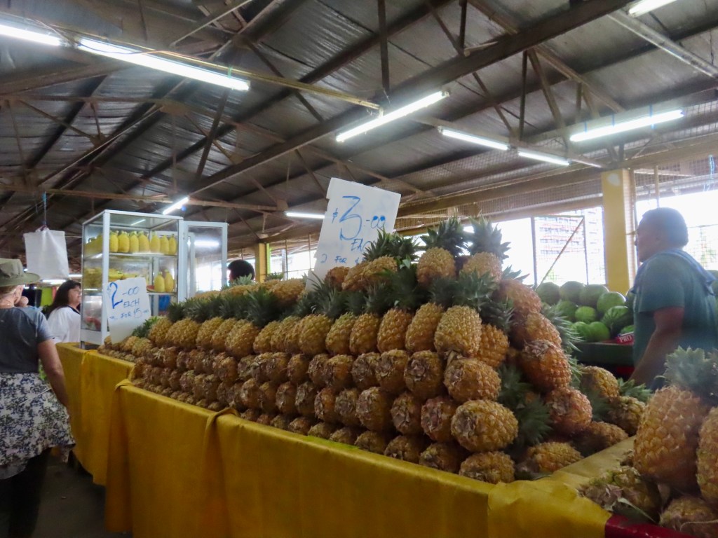
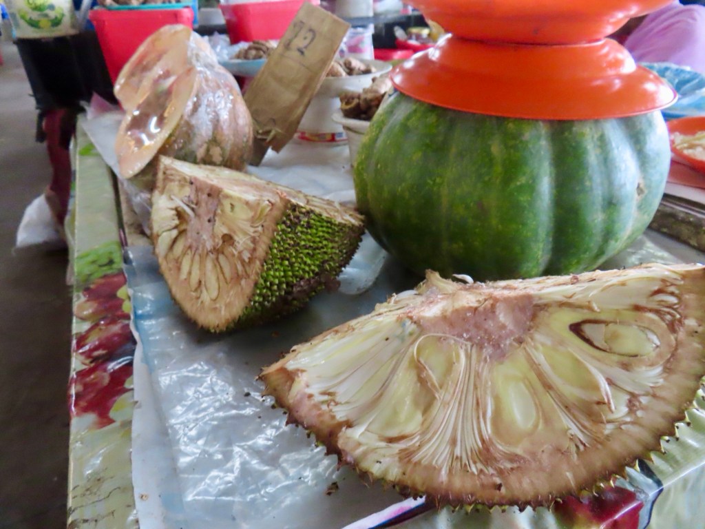
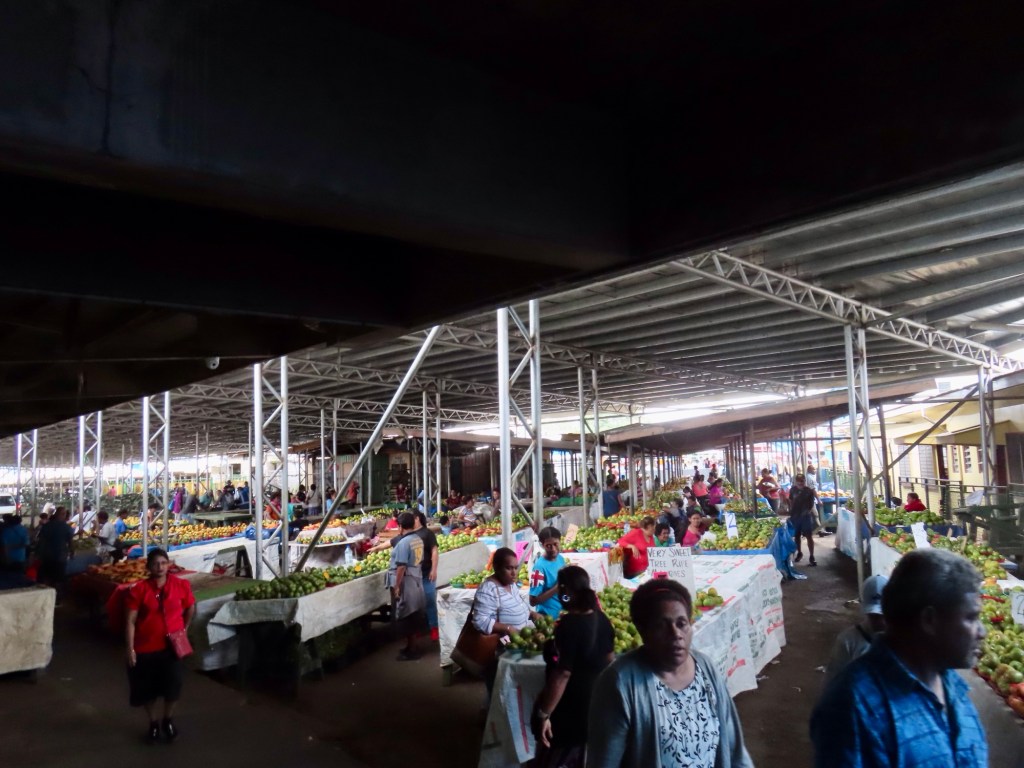
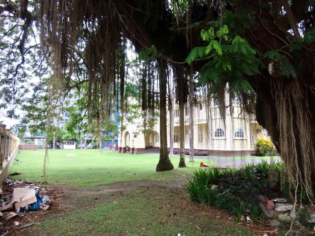
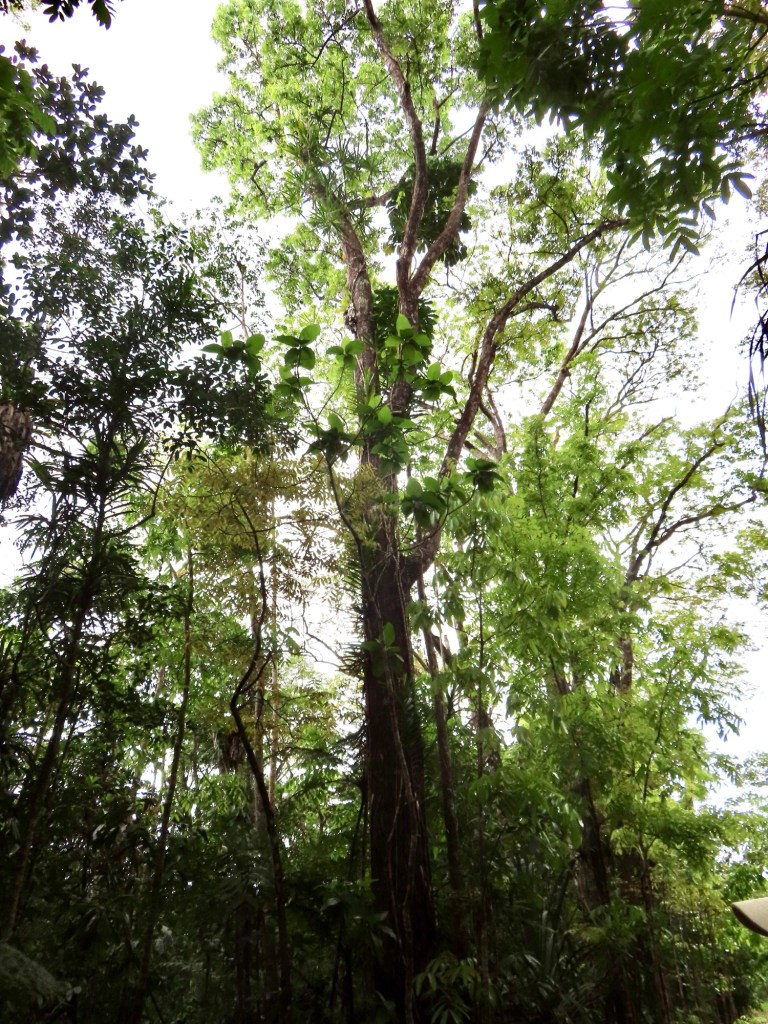
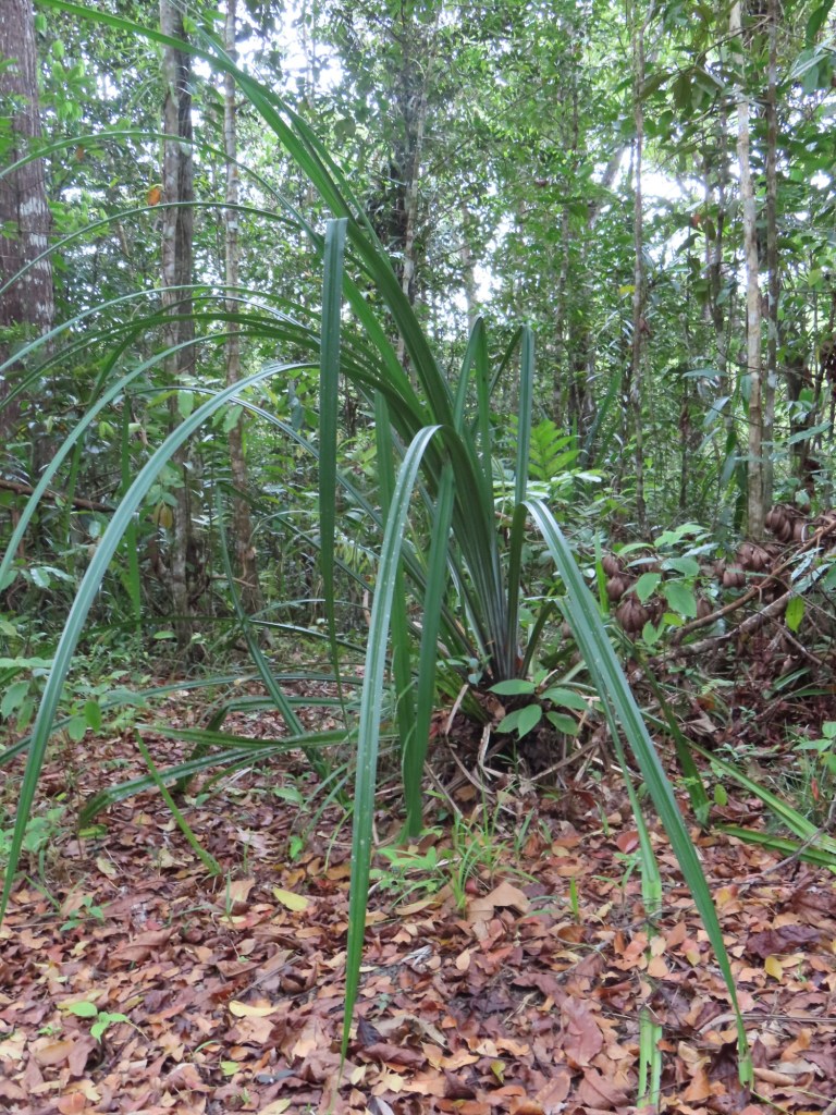
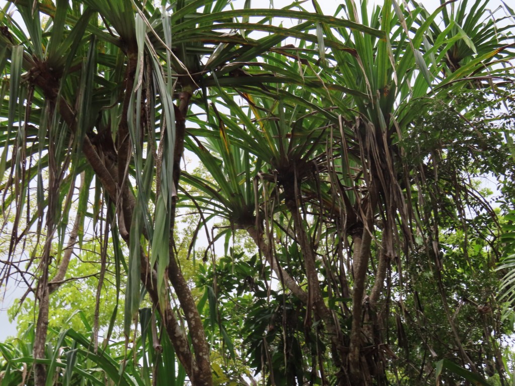
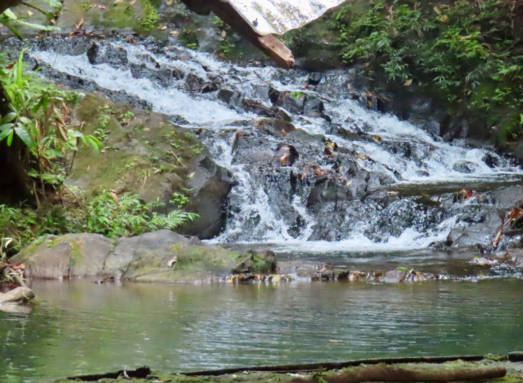
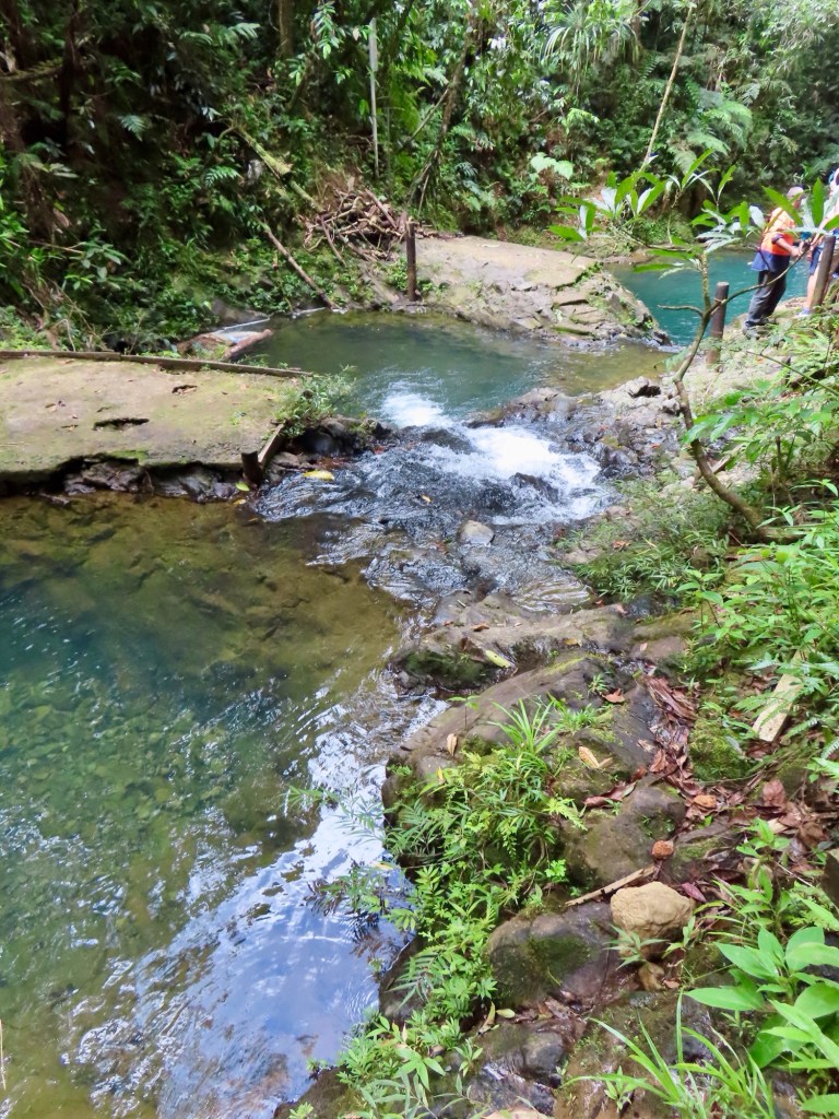
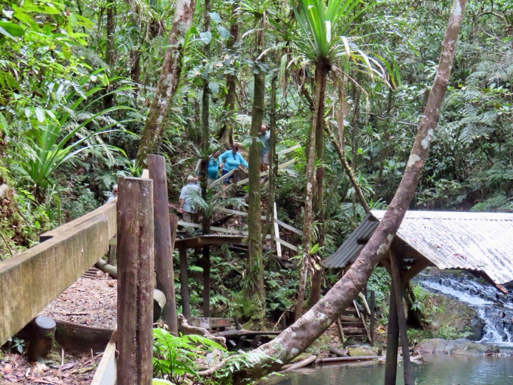
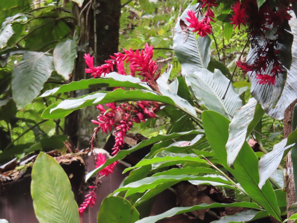
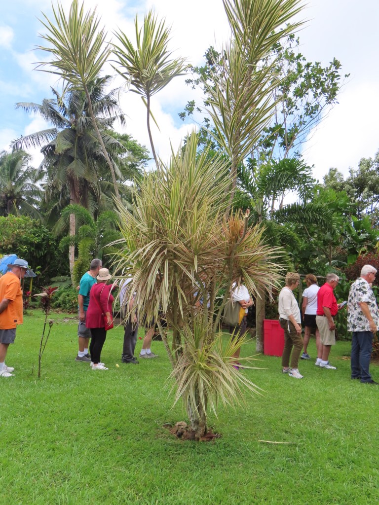
Neiafu, is our second stop in Tonga. Local market, Ene’io Botanical Garden, developed since 1972 and dedicated by the queen in 2006. Some other things to see or go to:-(Chiefs Whistles) Mapu’a ‘a vaea-blowholes, humpback whales. Mt. Talau….131 metres high.
Hurricane Season lecture by Dr. Charlie Paxton
He had been involved during 31 hurricane seasons
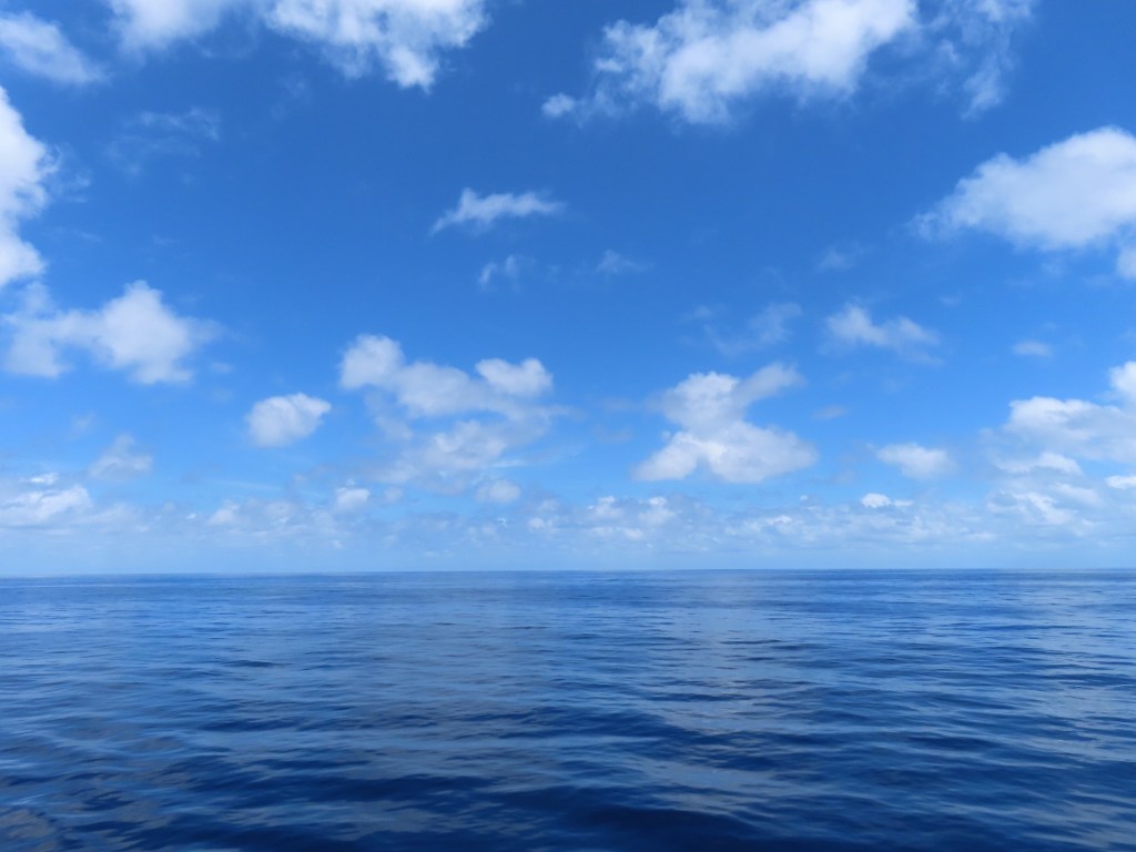
Hurricanes do not develop near equator. There are none off west and east of South America cuz the water is too cold
P-3 Orion planes plus some others, fly thru hurricanes to get a truer picture.
Fiji has hurricane centre in this area.
Hurricanes are caused by warm ocean water, moist air, system disturbance, unstable atmosphere, low vertical atmosphere, warm air rising up into cold air.
Sinking of air is where the eye occurs.
Hurricanes have a wind speed of 74 mph plus.
Because of excessive heat of water in east Caribbean this year, caused the season to begin very early.
They start with a tropical depression then tropical storm to hurricanes.
Peak season in Atlantic is September in Atlantic/ Caribbean.
Season here in South Pacific is from November to April where they are called cyclones.
Most potential fatallities are from freshwater flooding, but also storm surge, depending on strength, size, tides, shallow waters and bays. Wind and waves are like a wrecking ball. The greatest loss of life has been in Florida over the time they have been researching, then NY. Katrina…28’ storm surge. Tornados …offshoots from hurricanes
La Niña, causes more hurricanes and they are stronger …..in Atlantic. There were 85% more hurricanes in ‘24
Tropical cyclones
Hurricanes don’t go through high pressure areas. Rain that went ahead of Helene cause most damage. Evacuation considerations….storm surge. Post stress causes…..Fire ants , alligators, rats, snakes
The highest fatalities from a hurricane or cyclone has been in 1970 in Bay of Bengal with the death toll being 500,000, mostly from storm surge.
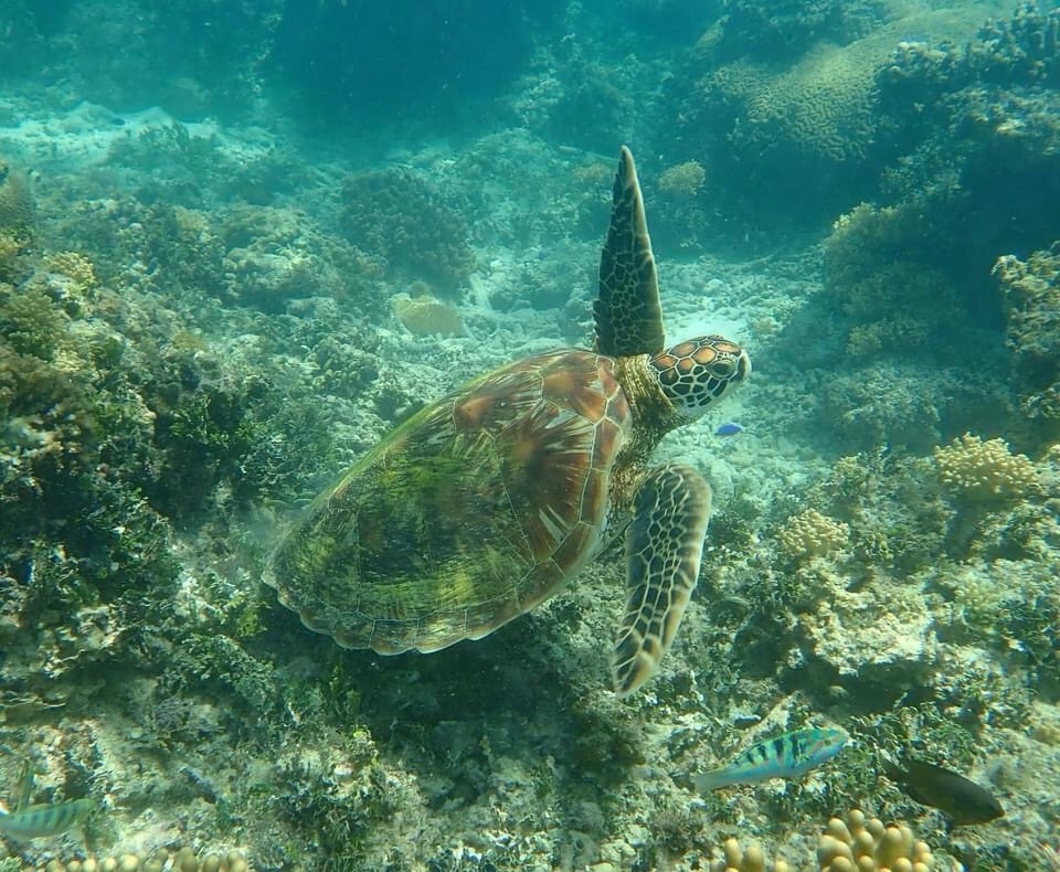
Exploring the Ocean Of Dolphins…by Isabelle Groc
Writer and photographer, film maker of nature from Vancouver but born near Toulouse. A photo journalist who works with scientists. Wrote book “Gentle Giants” about whales.
There are 18 varieties of toothed whales & 8 of balleen whales
She worked with Robin Baird, a researcher in Hawaii.
Photo identification is part of research. Spinner dolphins & Humpback whales were the most previously research. Humpbacks migrate Dec to March, to off coast of Kona where there is very deep water, high mountains so it’s protected.
Beaked whales and Melon-headed whales.
Orca are “killer of whales”, are really dolphins. Been observed in B.C. since 1958. They are from family of blackfish. There are 5 species….. False killer whales, pygmy killer whales….rarest and only in Hawaii, short-finned pilot, melon-headed whales, beaked bait whales.
A lot of the whale family members can be identified because of marking left by Cookie cutter sharks. They suck on the whales, then bite them, leaving hole that when healed, leaves a scar. The presence of squid is a sign there would be whales around cuz they are a food source.
In order to track, they attach tag, make Acoustic recording, use drones and dogs. “Conservation Canines” a book she has written. It is about how dogs work for environment. They can smell whale scat (poop). Researchers also take pieces skin to test for pollutants. Noise disturbances can destroy entire population of a pod of up to 400 members cuz they all hang together.
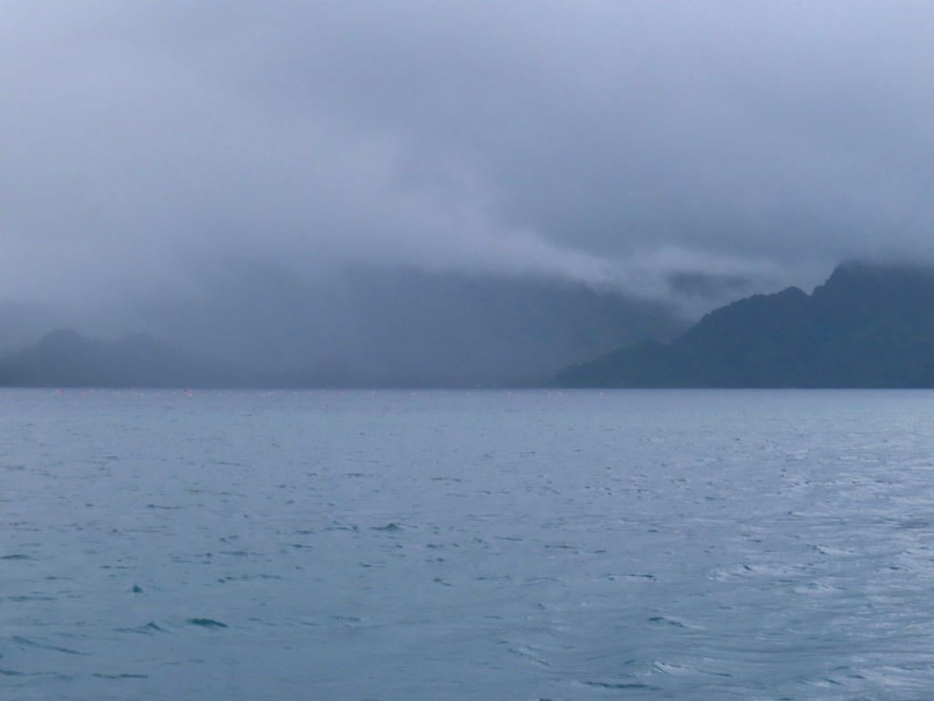
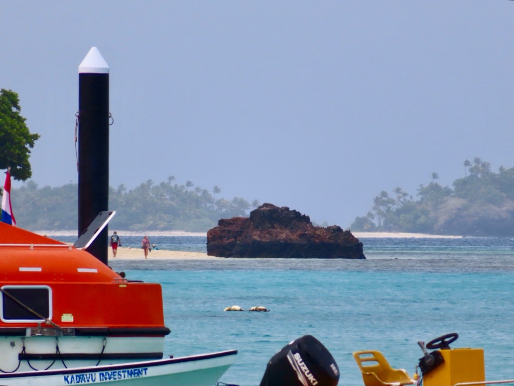
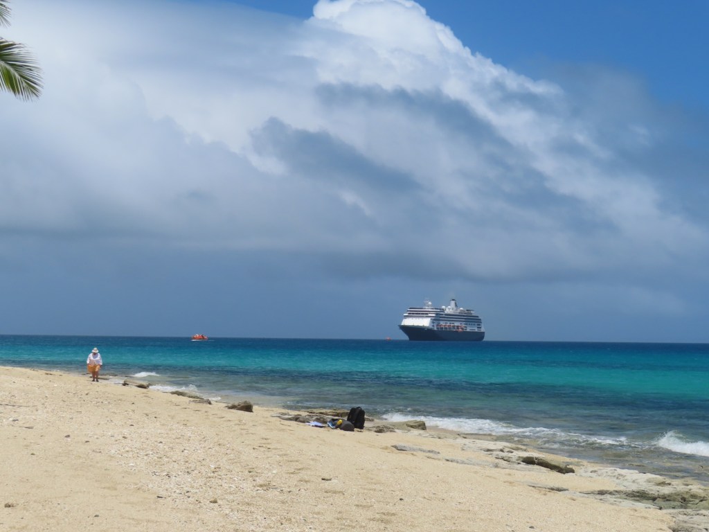
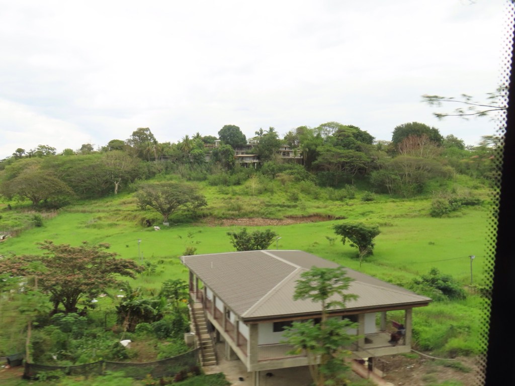
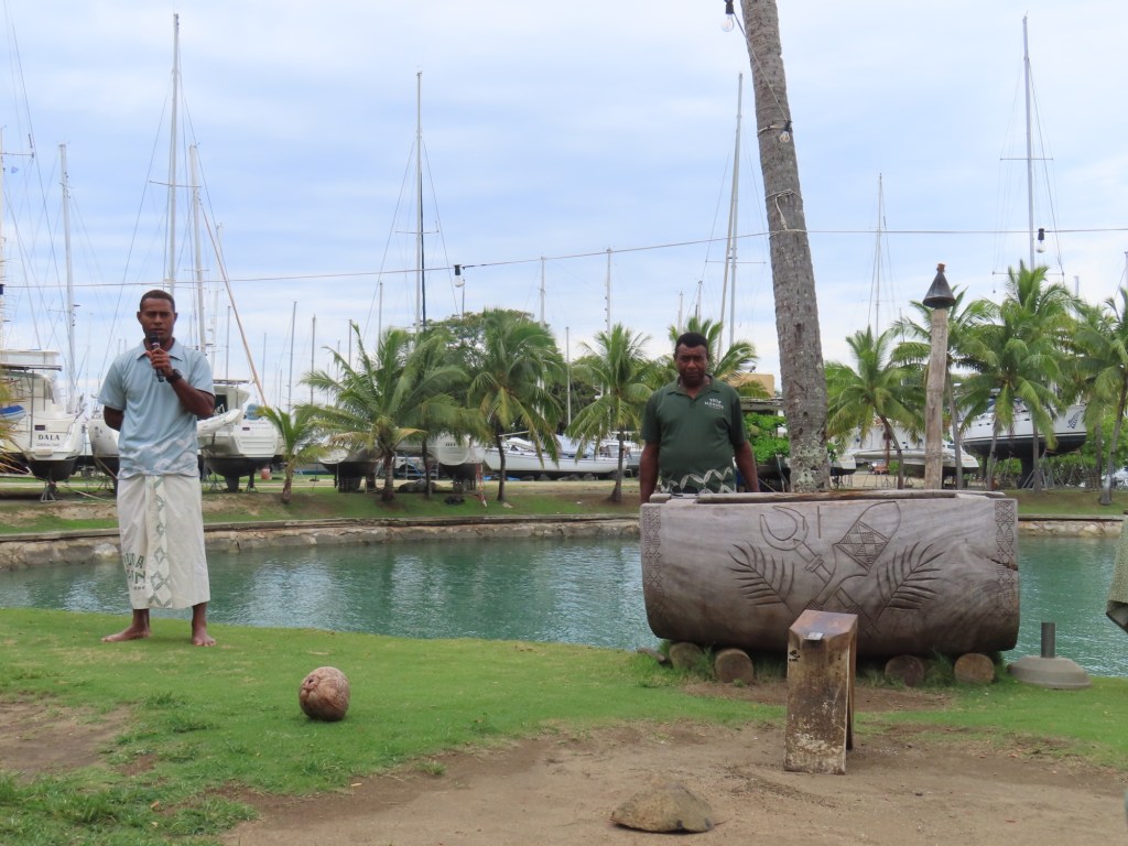
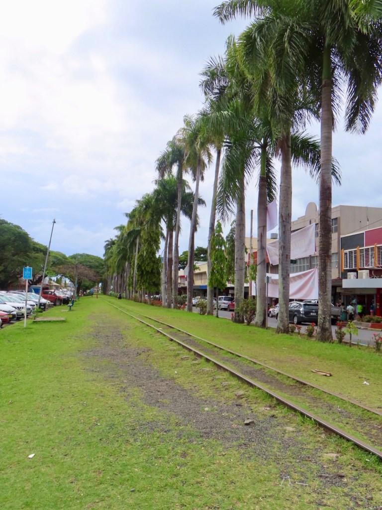
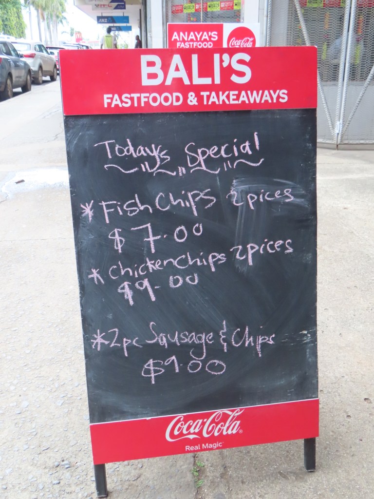
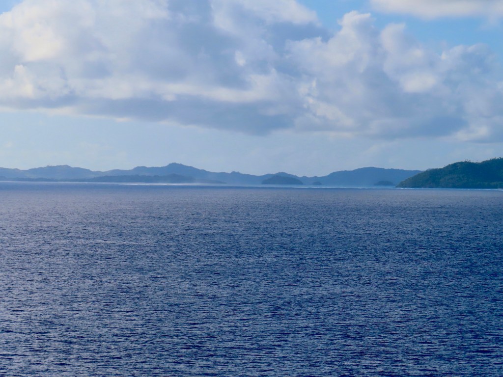
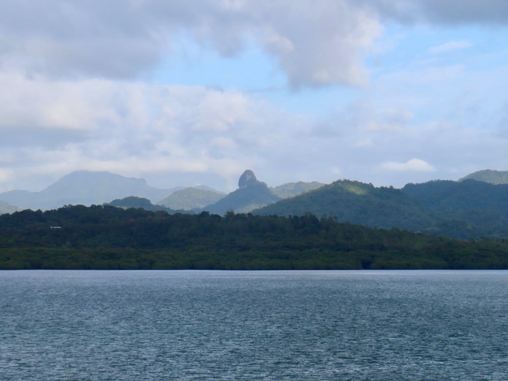
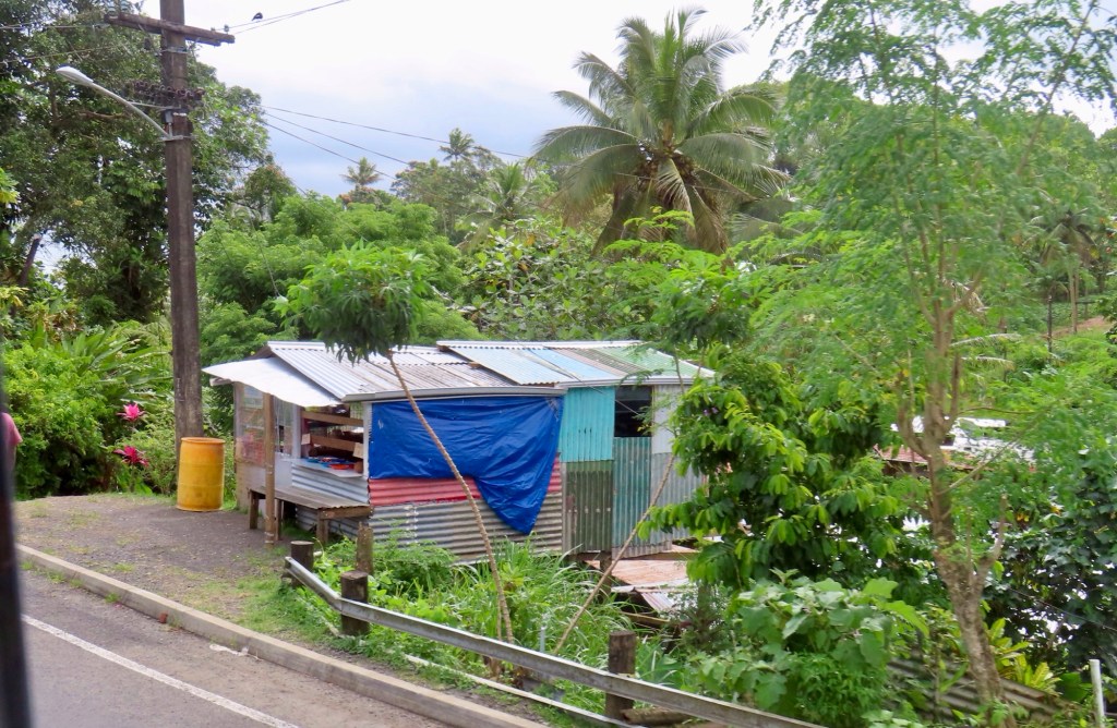
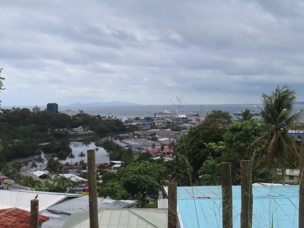
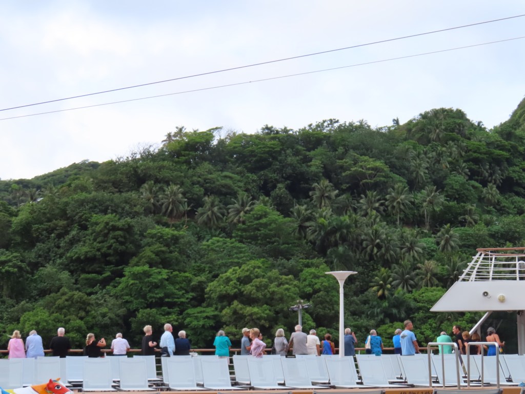
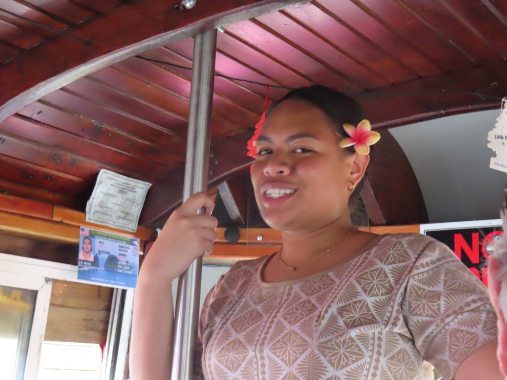
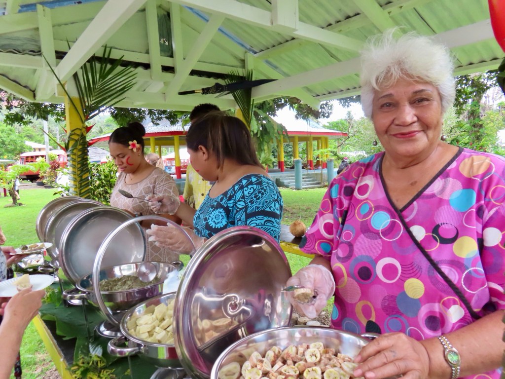
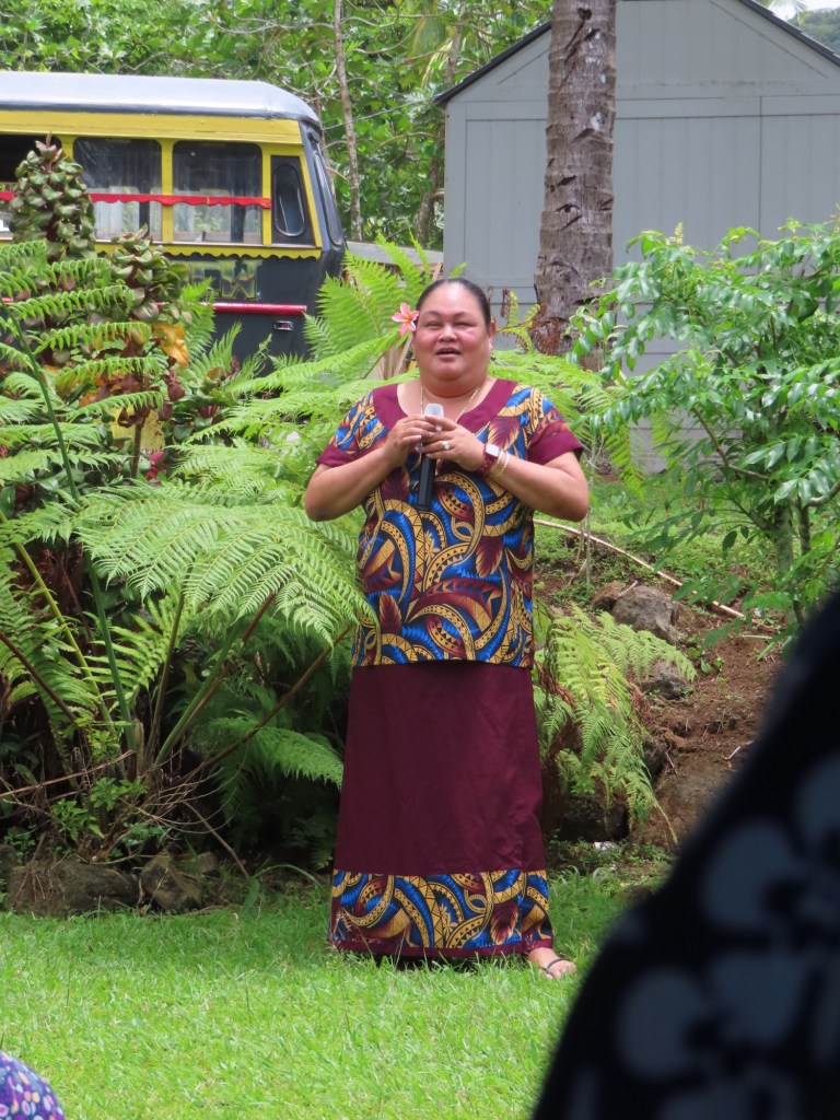
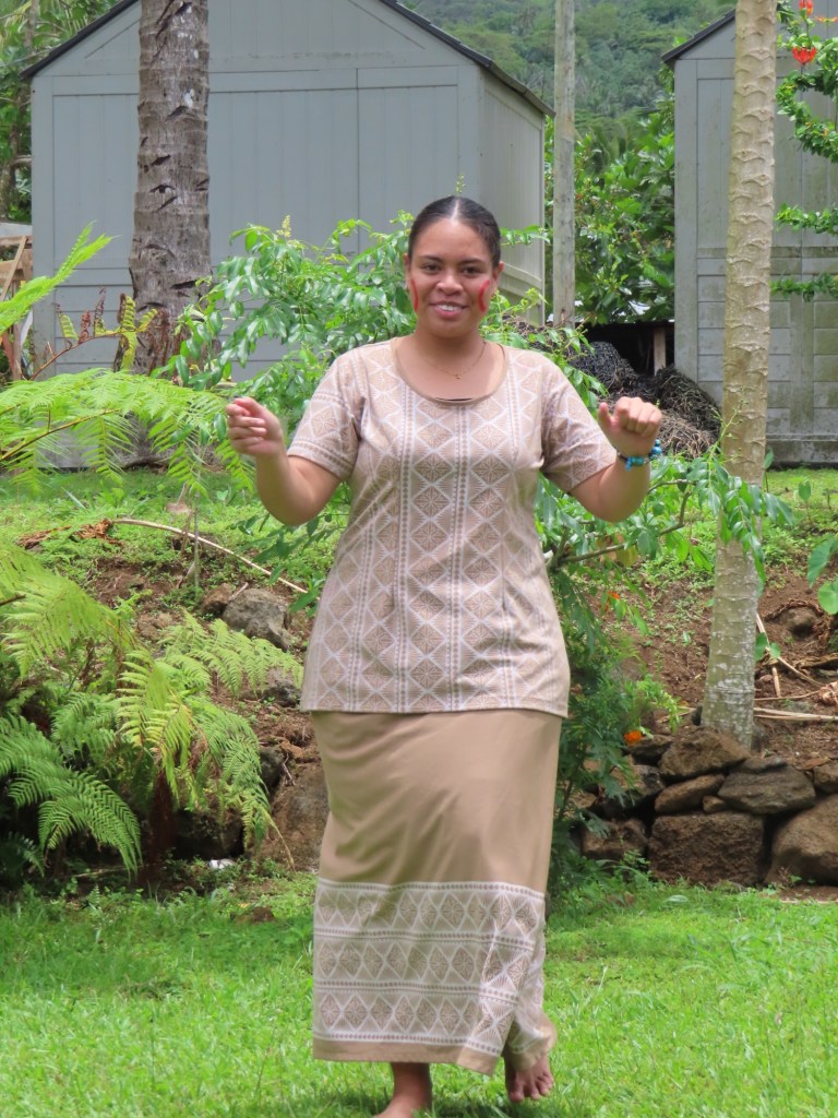
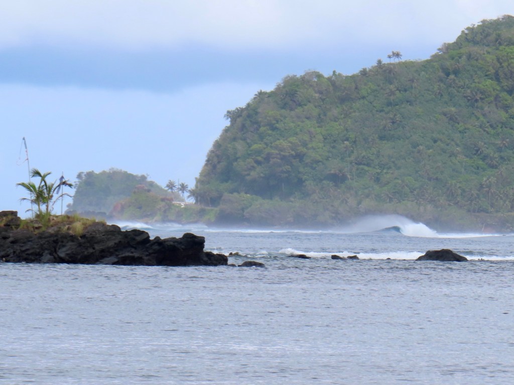
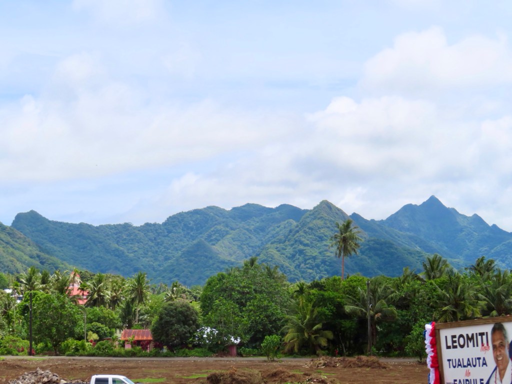
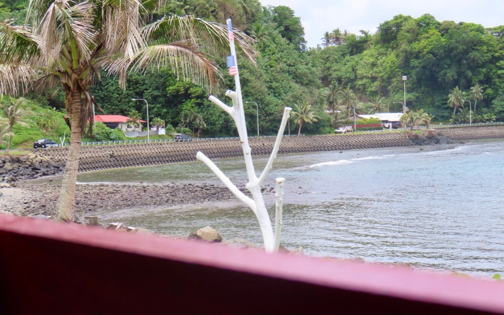
Nuku’alofa, on island of Tongatapu….the capital of Tonga
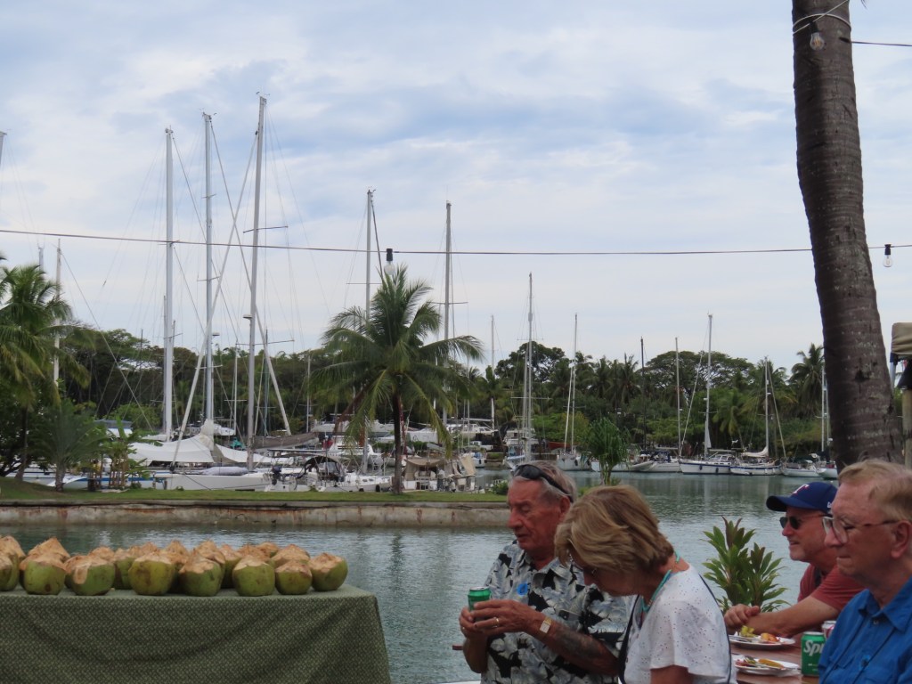
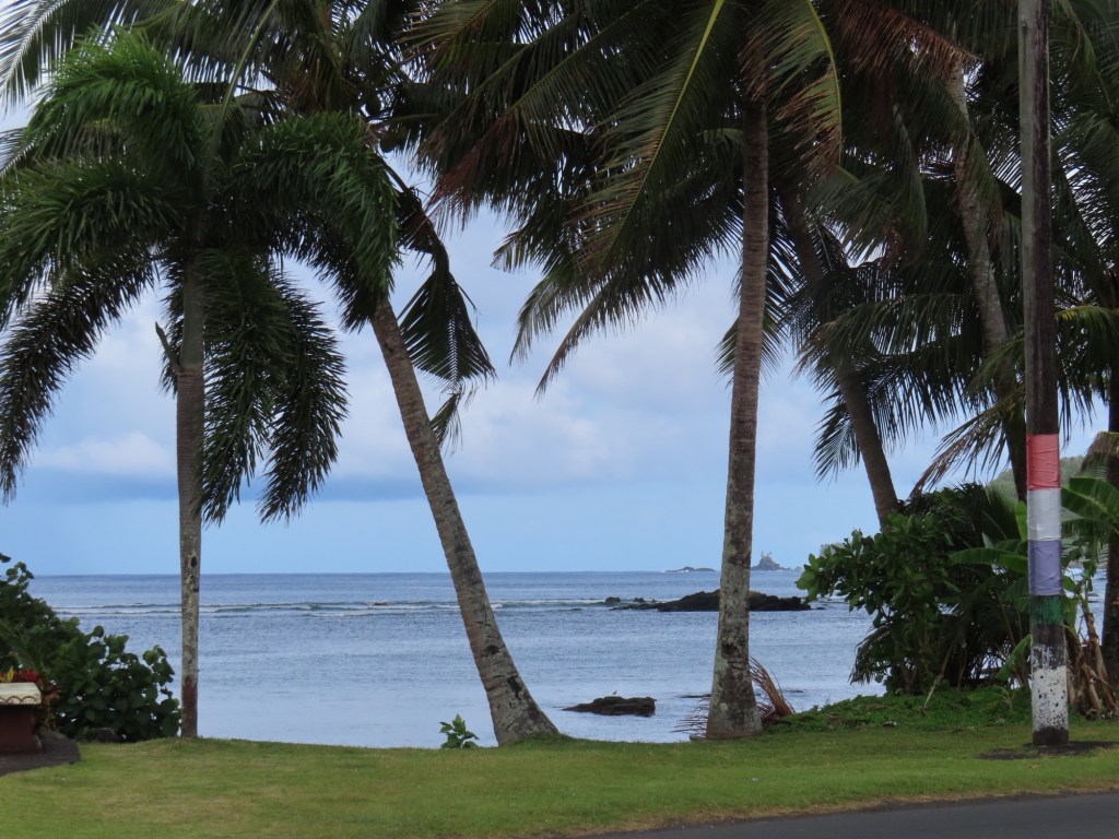
The ship is double the length of the pier. It is the only ship here for the month. 27C tomorrow with slight chance of rain & 85% humidity. 1 Tongan Pa’anga money =.59 CAD or .43 USD. Water is not drinkable. Time zone is GMT +13, drive on left, speak Tongan and English
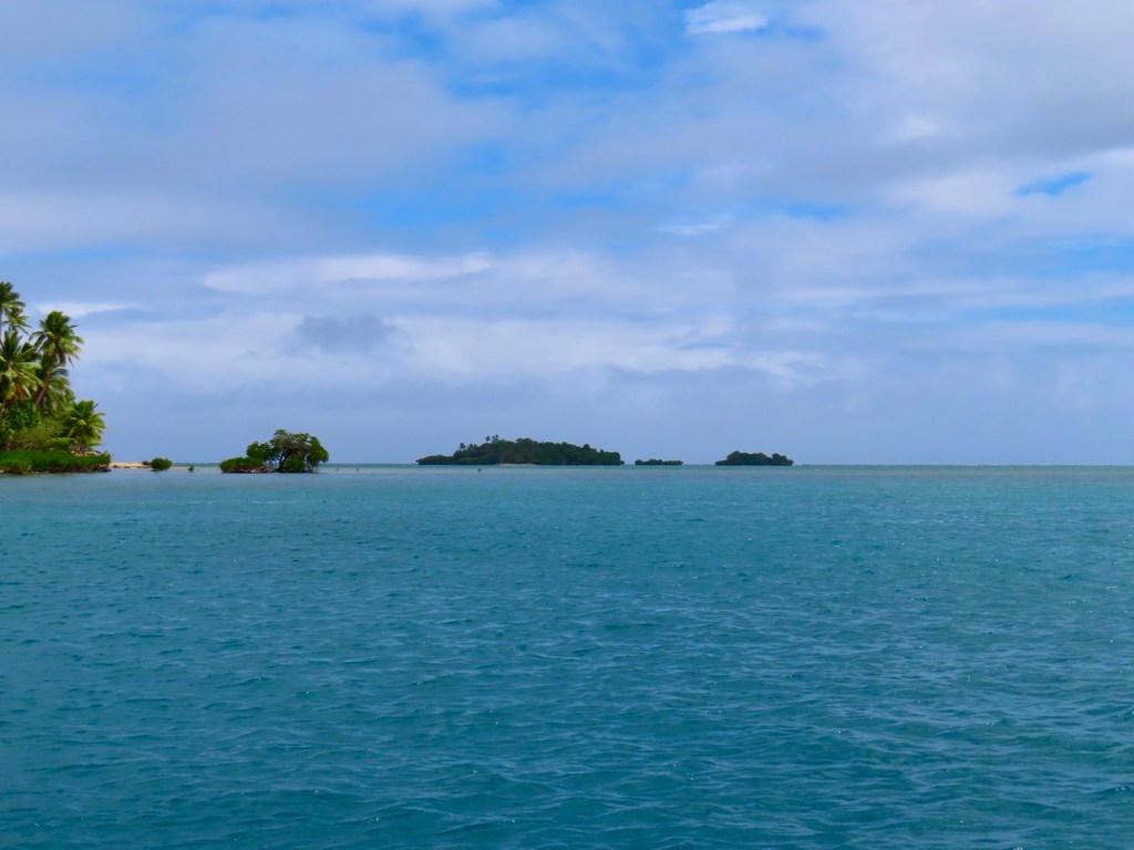
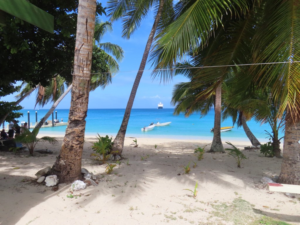
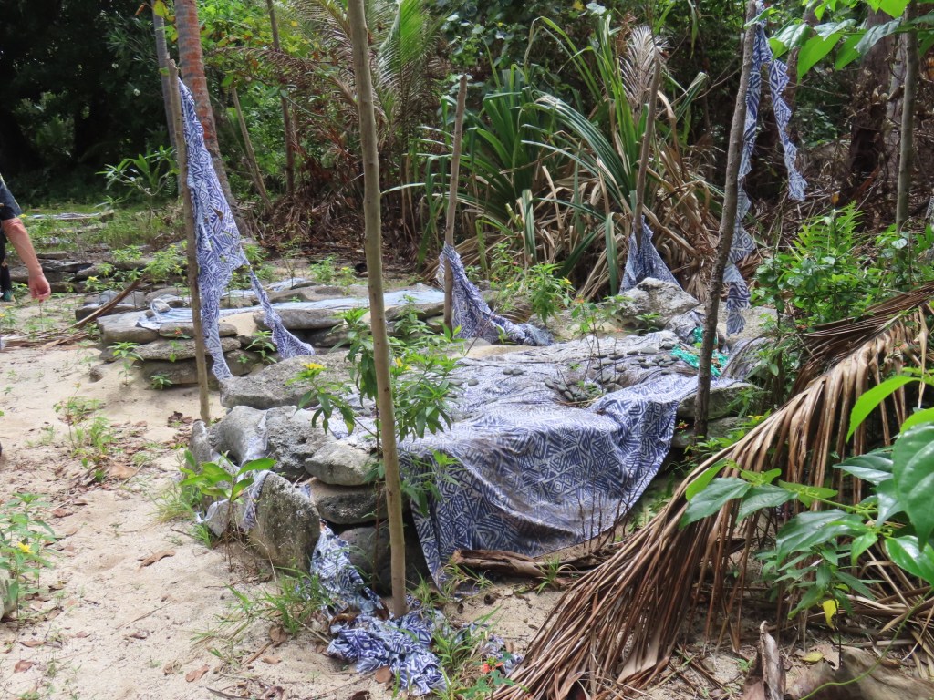
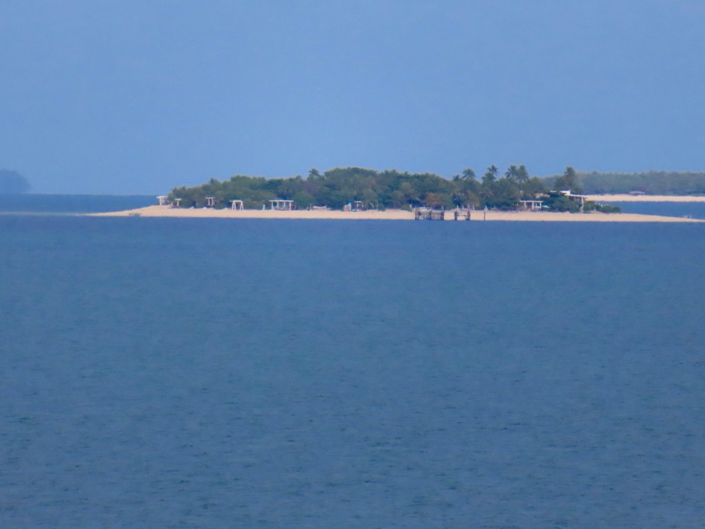
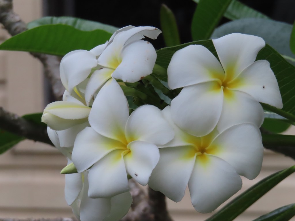
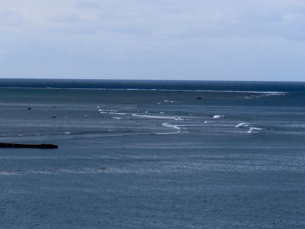
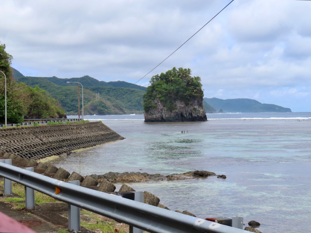
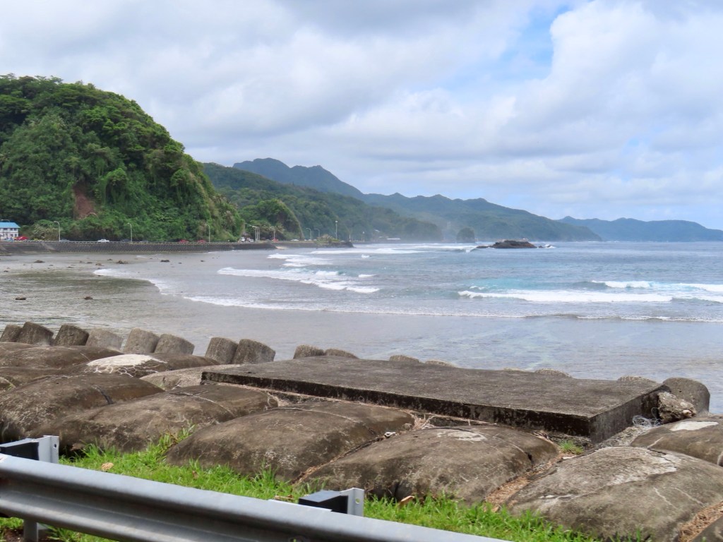
Oho’lei Beach and Hina Cave, near the ocean but not recommend you swim in the ocean. The water is too rough and sea is shallow. Must see…..5 kms of blowholes. A Stonehenge……..built 13th century …..“family tree made out of rocks”. Wear a tee shirt while on beach ….customs are to cover up.Currency exchange on shore.