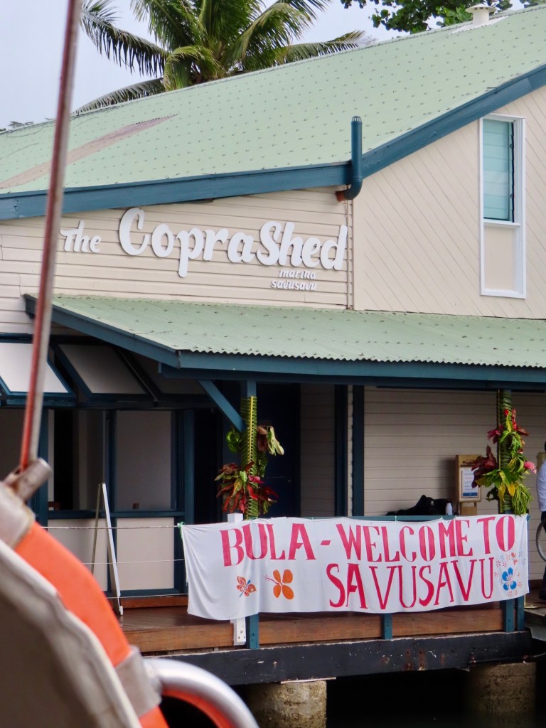
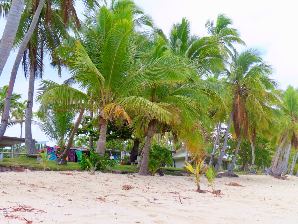
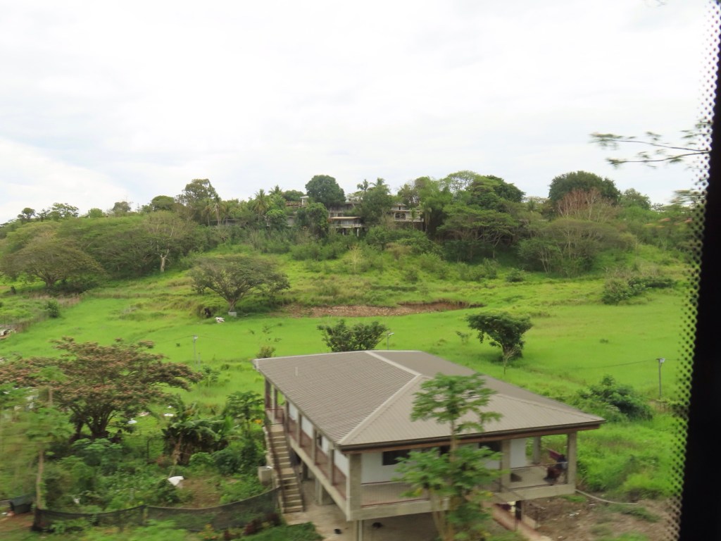
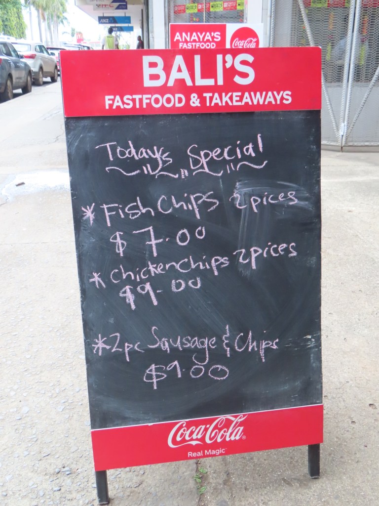
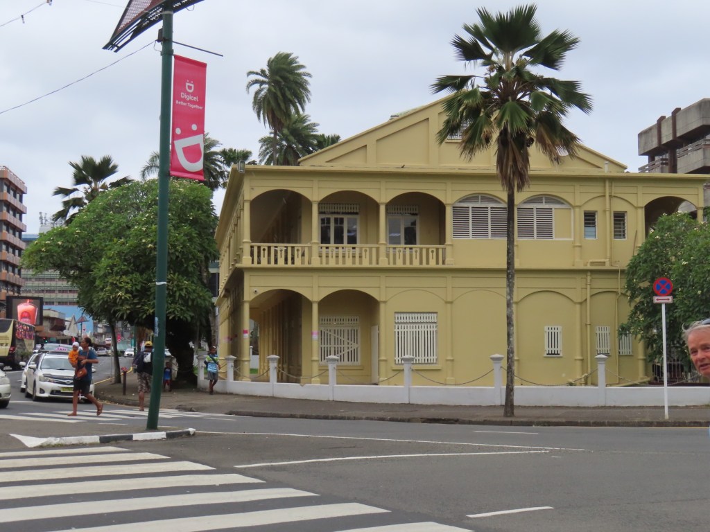
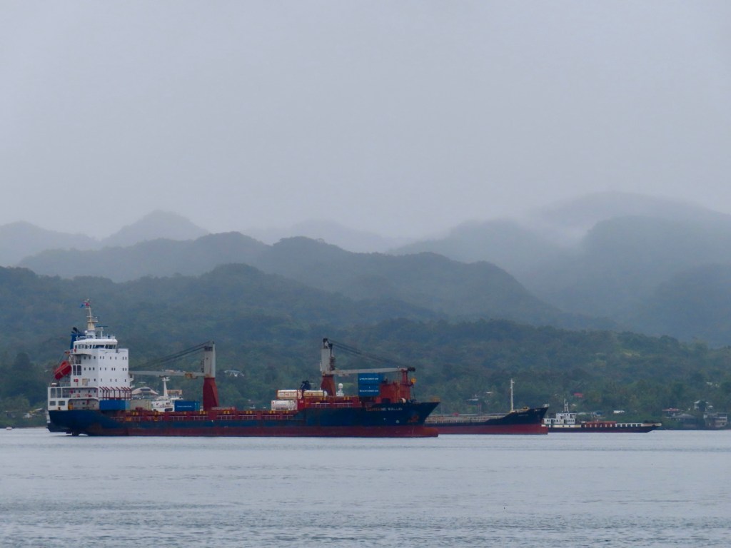
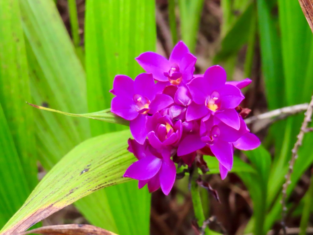
3372 population. Bug spray and sunscreen. Less than 1 km walk from pier to town. Tourism, copra (coconut fibre) and rum are main sources of income. To right….Nakama mud pots are not for enjoying in but for cooking…too hot at close to 100 C.
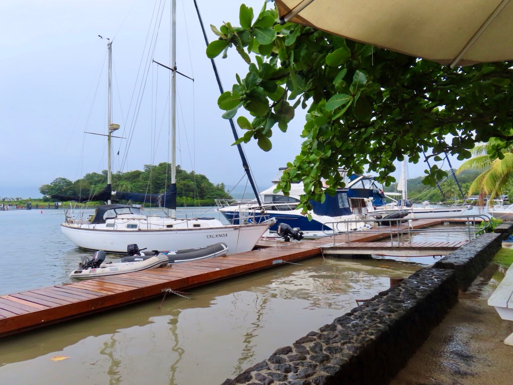
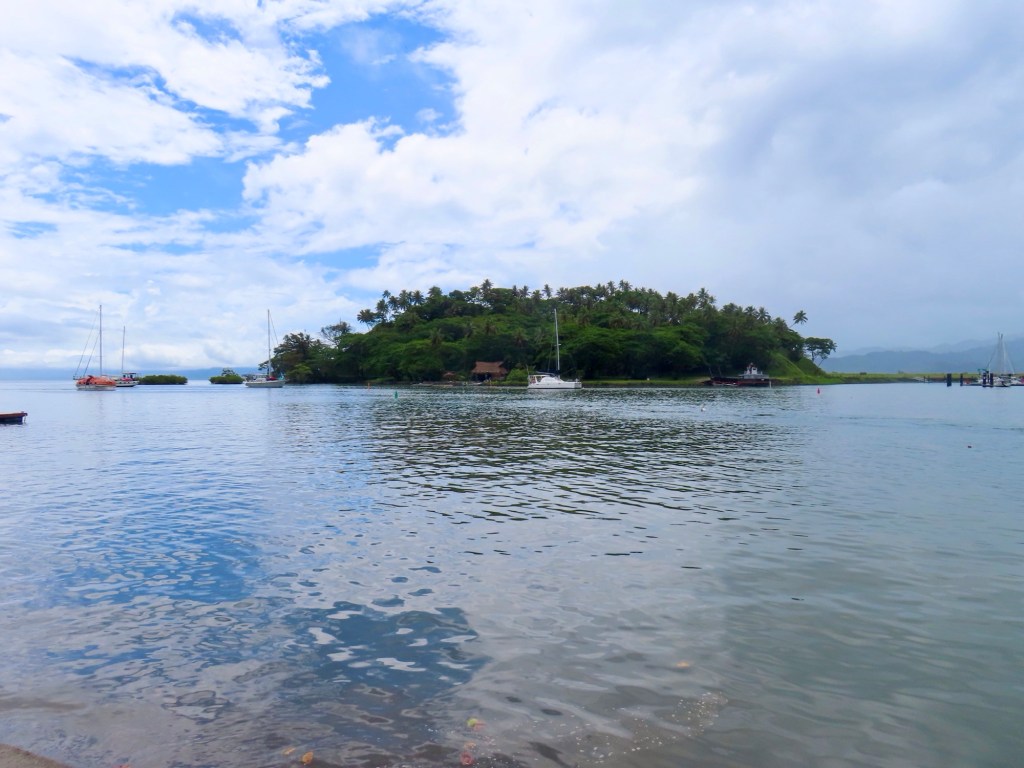
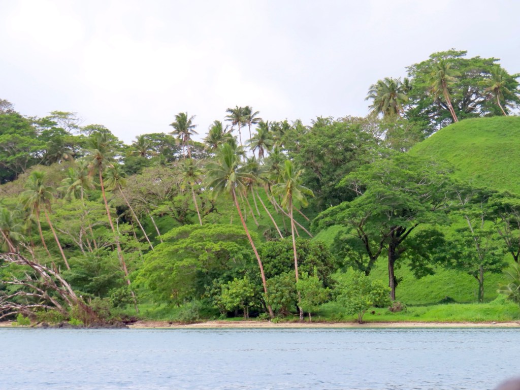
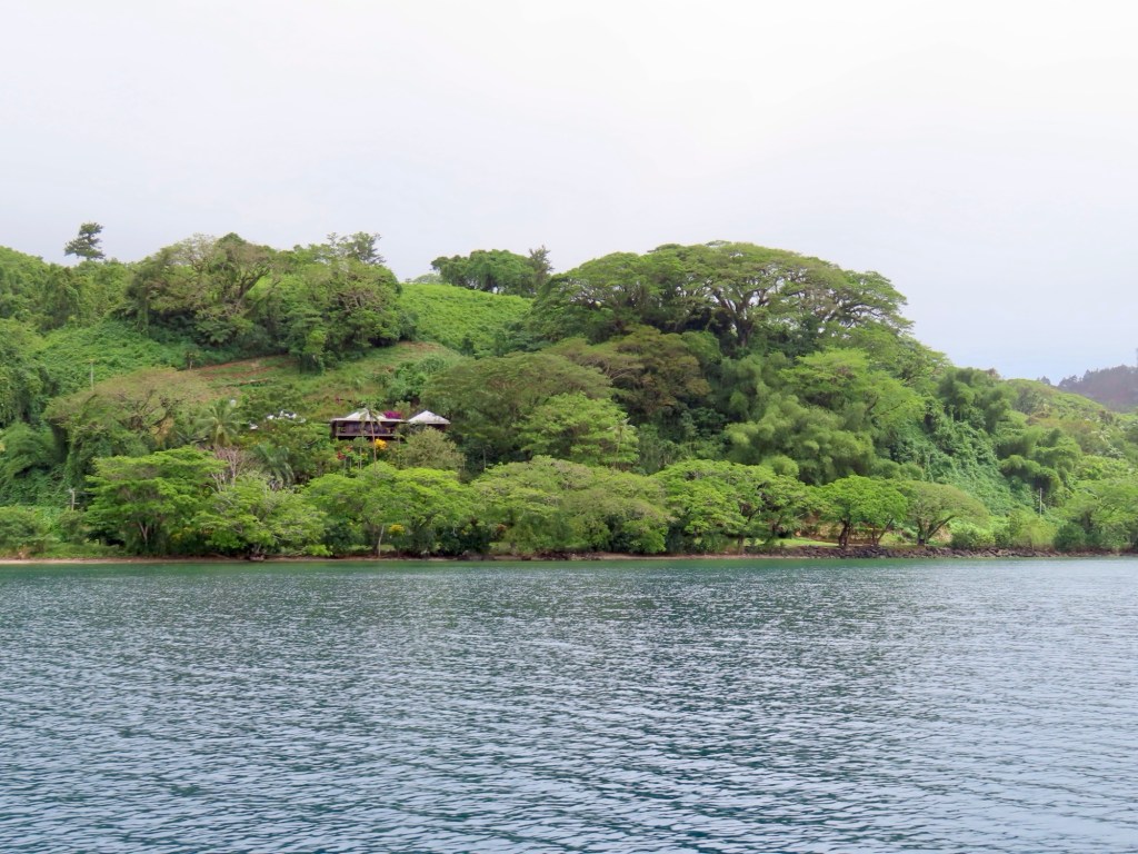
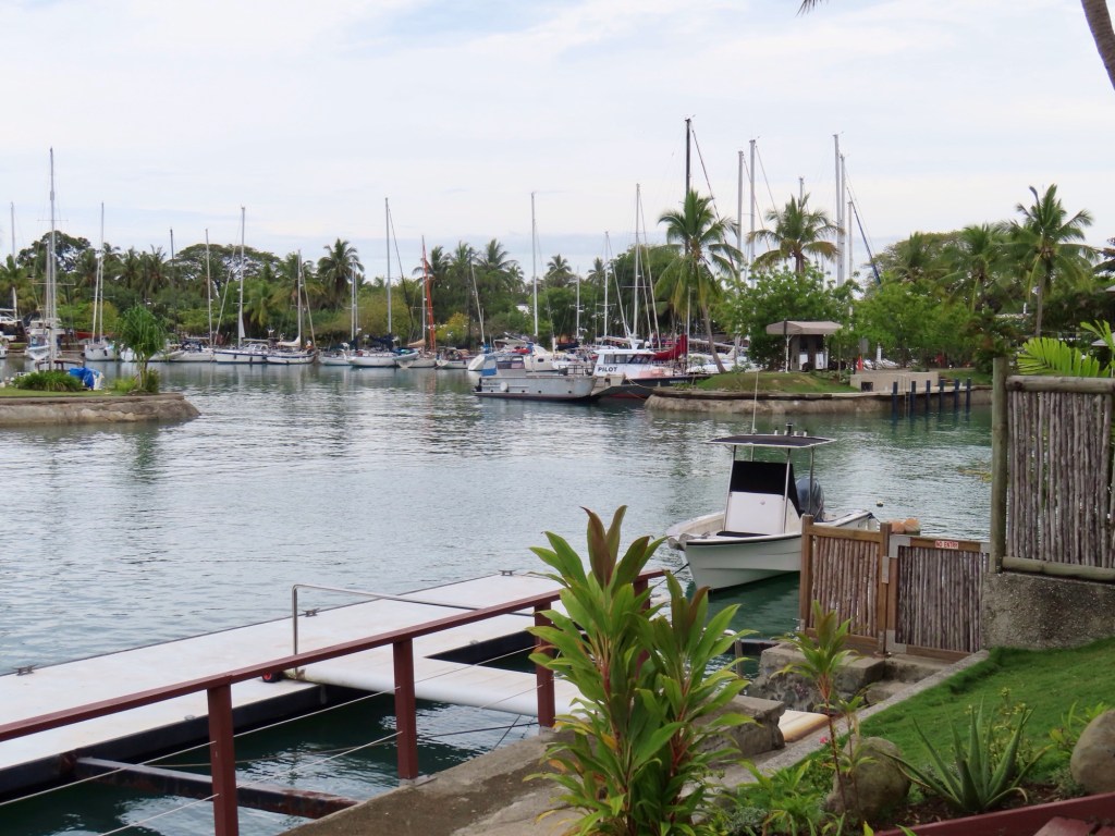
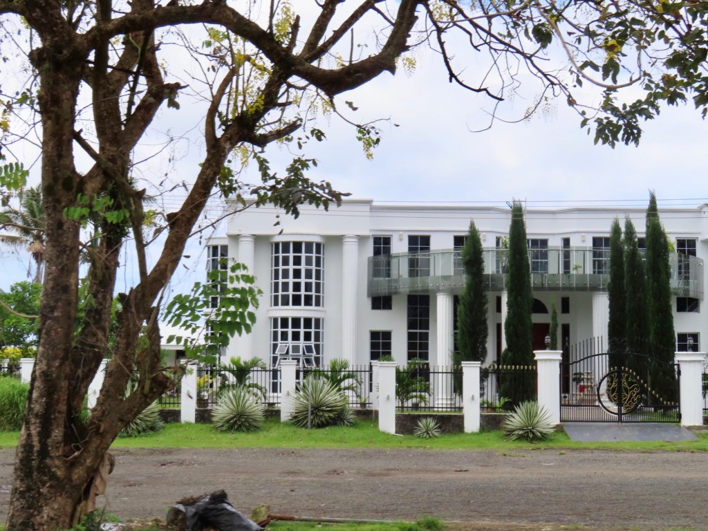
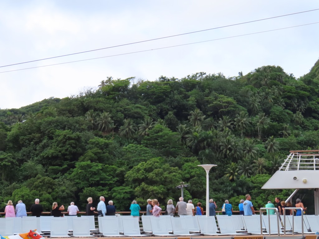
Gorgeous waterfront with sailboats, beautiful hillsides and nicer homes. I think I could live here.
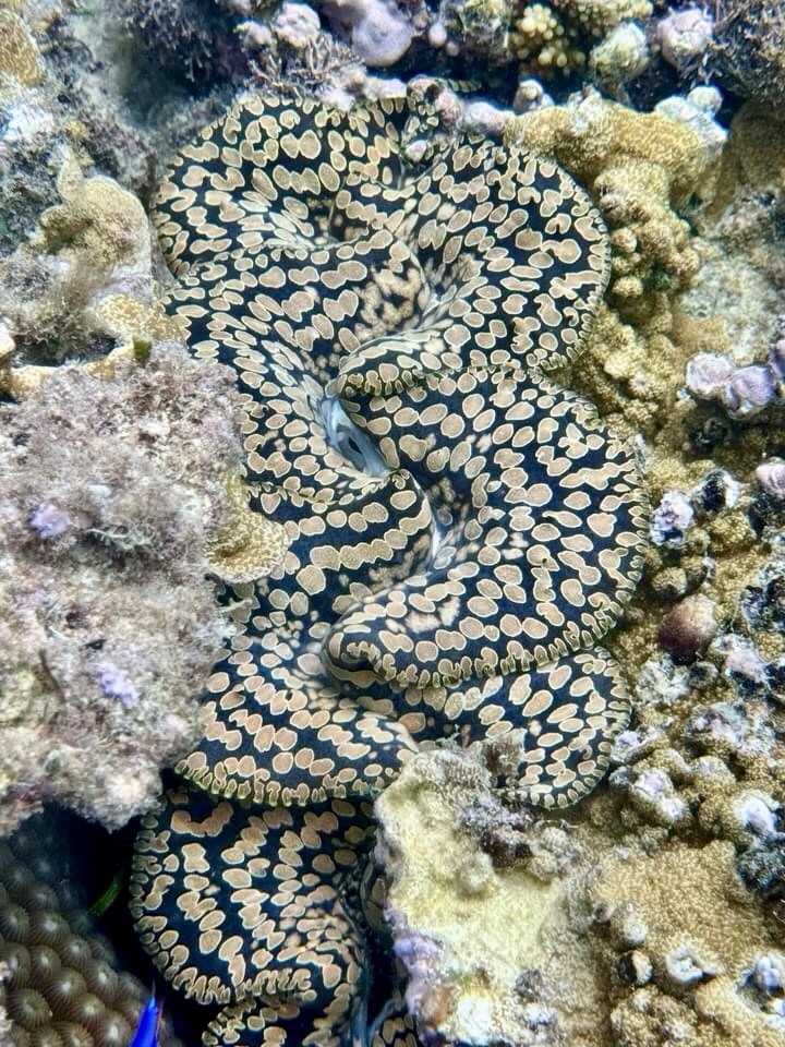
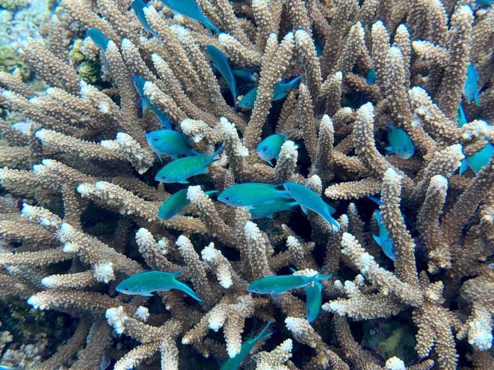
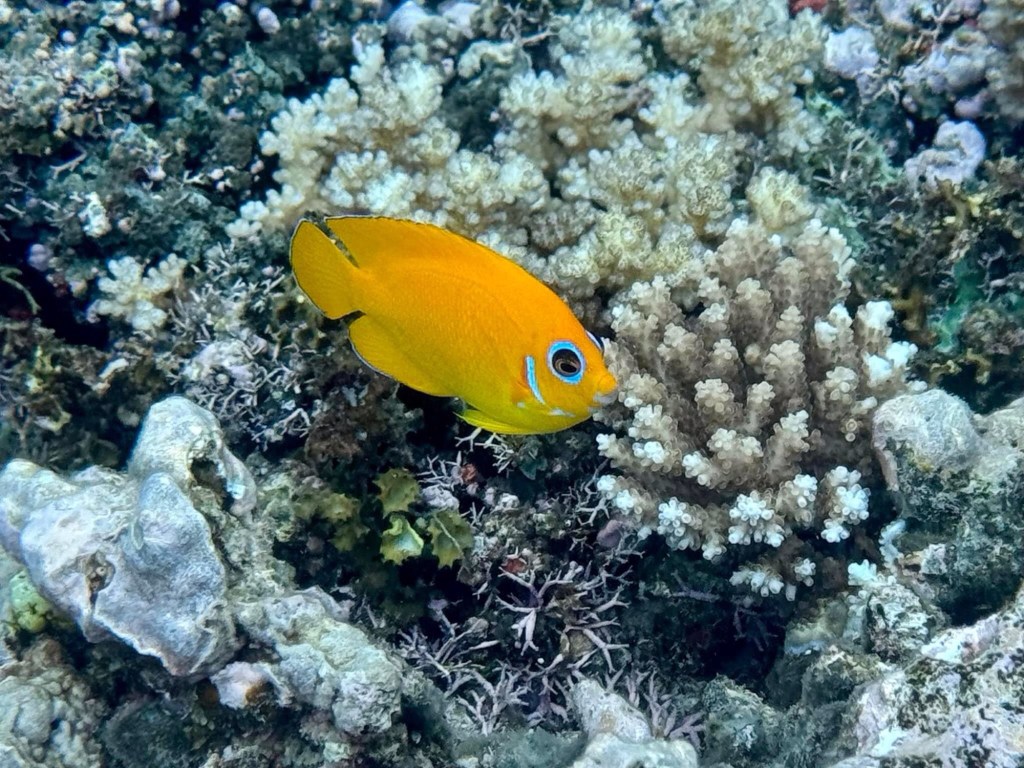
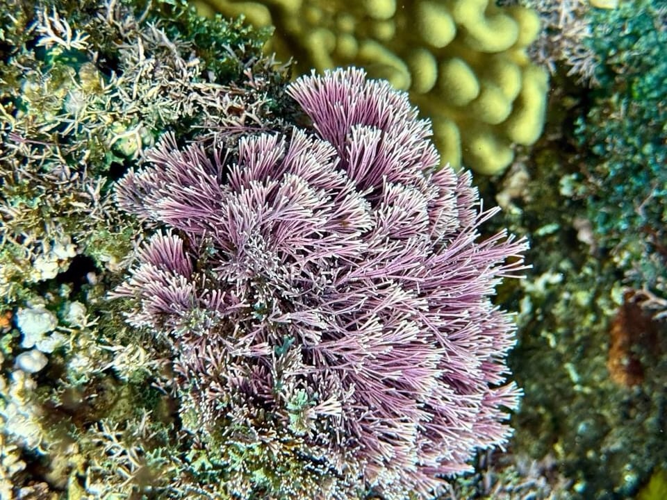
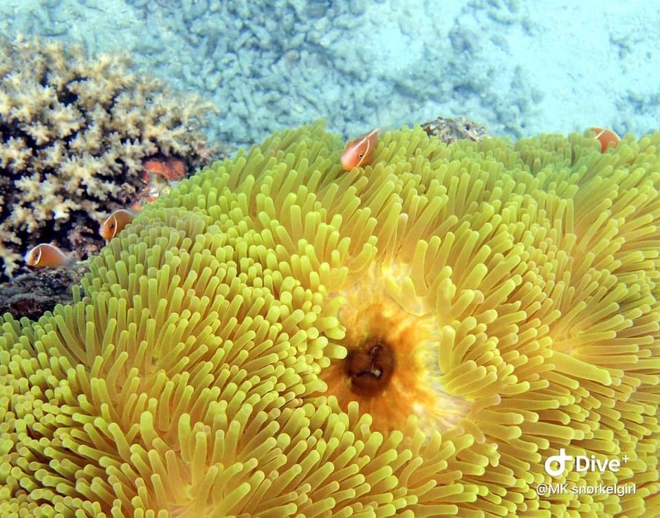
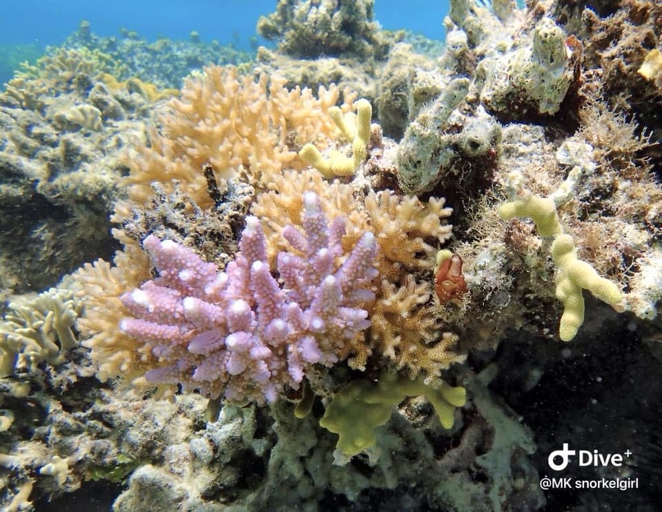
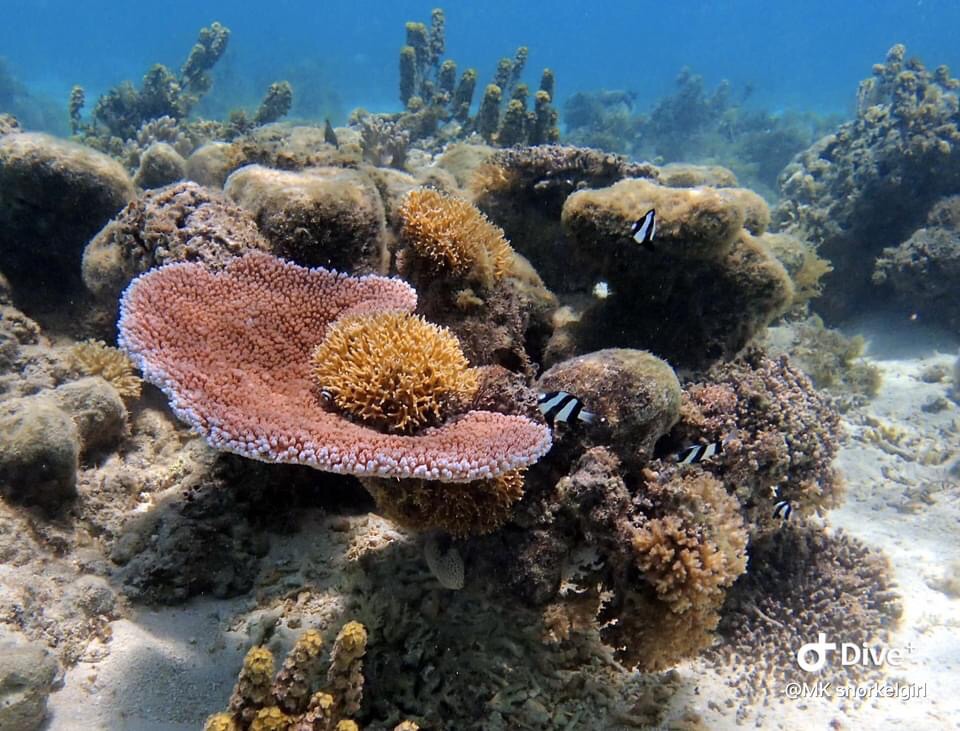
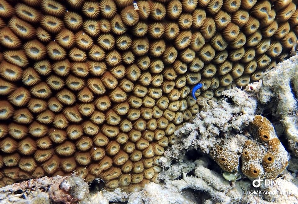
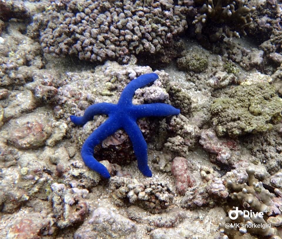
We took a short boat ride to Coral Garden Waterfront Reserve. Oh my goodness….the coral was spectacular as were all the fishes. I so wish I could take pictures. I have asked others if they would share some of their pictures.
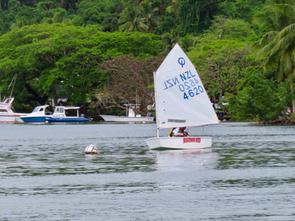
Some really nice sailboats but then there some like the abandoned derelict boats like we used to have in the Selkirk water.
I did notice that the seabed had a a grey covering that I asked about. It was the dead coral from the cyclone that hit here 6-7 years ago. I was told that the coral that we saw growing was only growing there since that cyclone. Apparently the coral is started in a water farm close by. Who knew! The whole area is a reserve that no one is allowed to fish in, including spear fishing.
While there at Coral Garden snorkelling for quite sometime, my left wrist area began feeling prickly. I would rub it so as to brush off whatever was causing it. I could not see anything. It just kept on “stinging” my lower arm. And so I returned to the boat. I asked if there were tiny jellyfish but they said no but there were sea lice. Within a few minutes I smallish hive-like lumps on my skin. When I could I asked “Mr. Google” about sea lice. Turns out that they are in fact the larvae of the tiny jellyfish or anemone. There were no long lasting effects thanks to a fellow snorkeler that had Benadryl spray.
These pictures, some taken today, were taken by others including my friend Mary K.And then came the rain
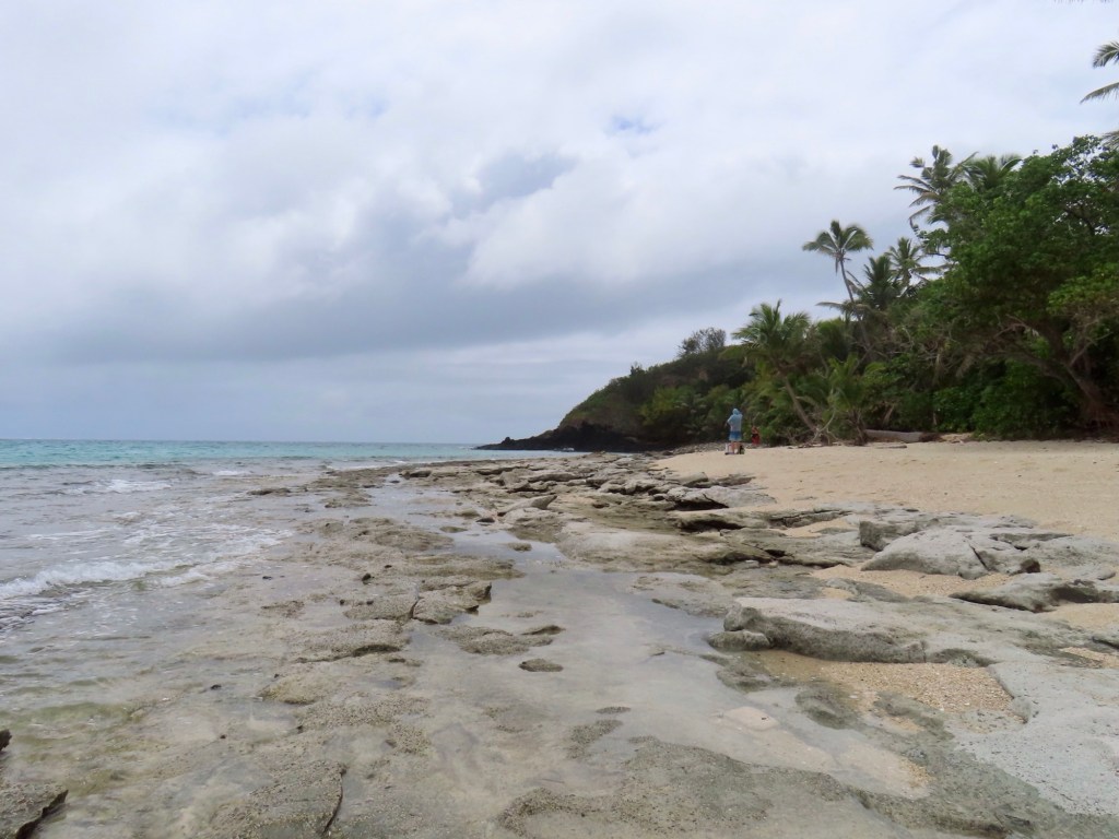
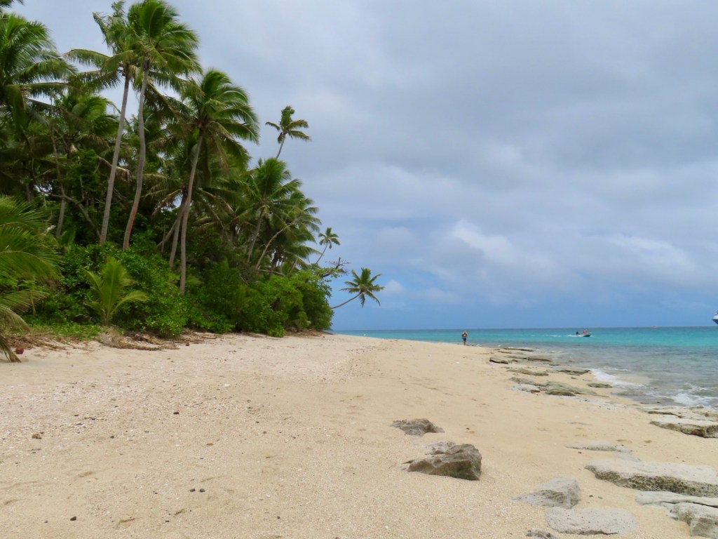
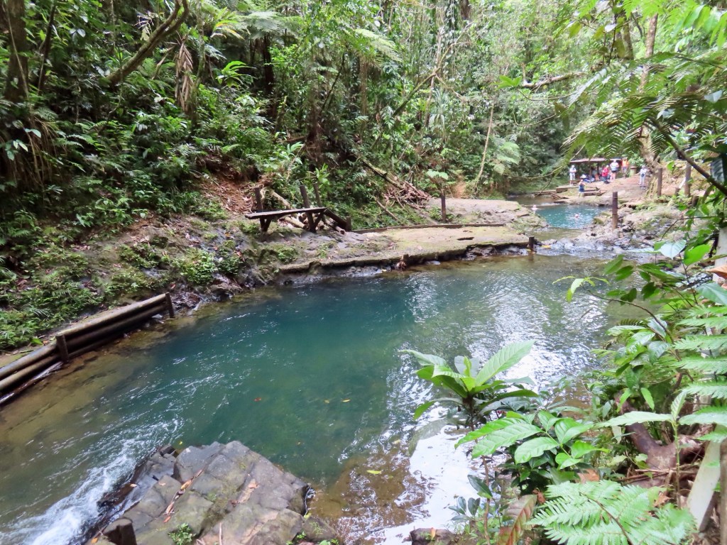
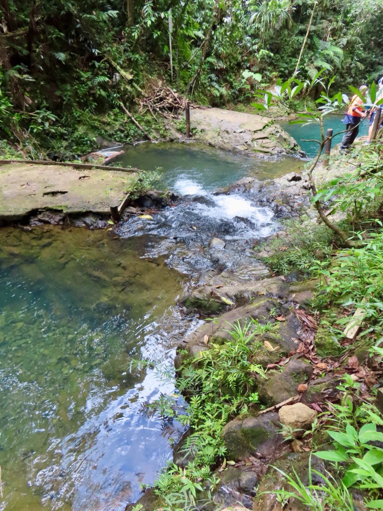
We left that area to go to another spot called “Split Rock”. As you are probably aware there is a section on the Malahat Highway that is called by the same name. This spot like the previous was really quite awesome.
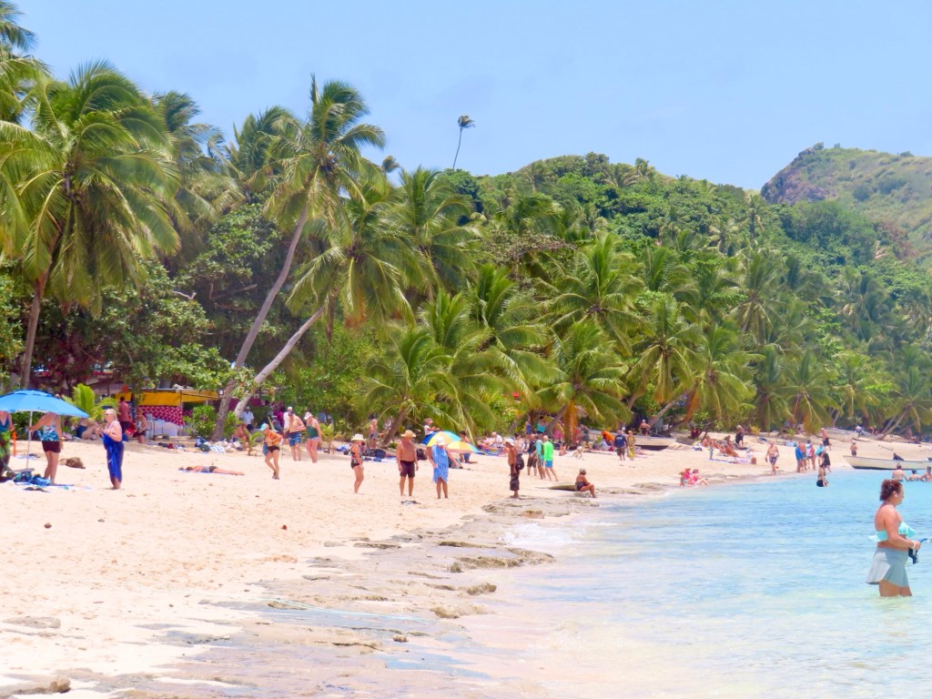
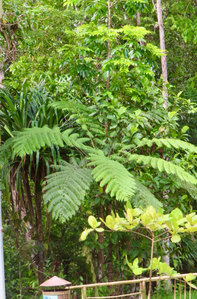
Something to do besides doing the beach is climb a hill …450 feet…view of so many little islands that dot the ocean. Snorkeling…part of astrolabe reef. Take picture of map to find snorkel beach. Pigs, birds, gannets, coral, fish. The waters are very swimable….no boat necessary.
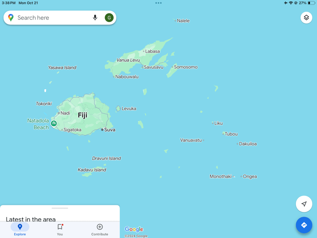
Fiji is part of Melanesia, not Polynesia.
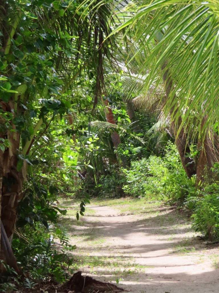
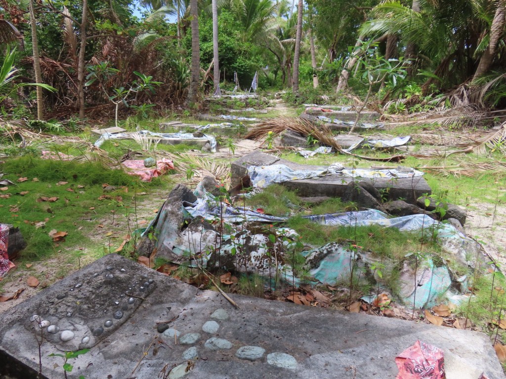
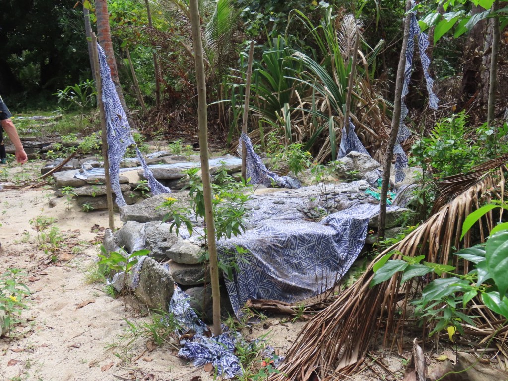
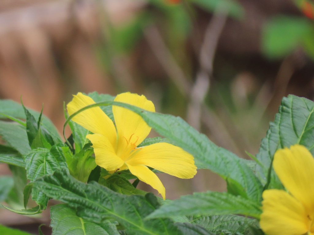
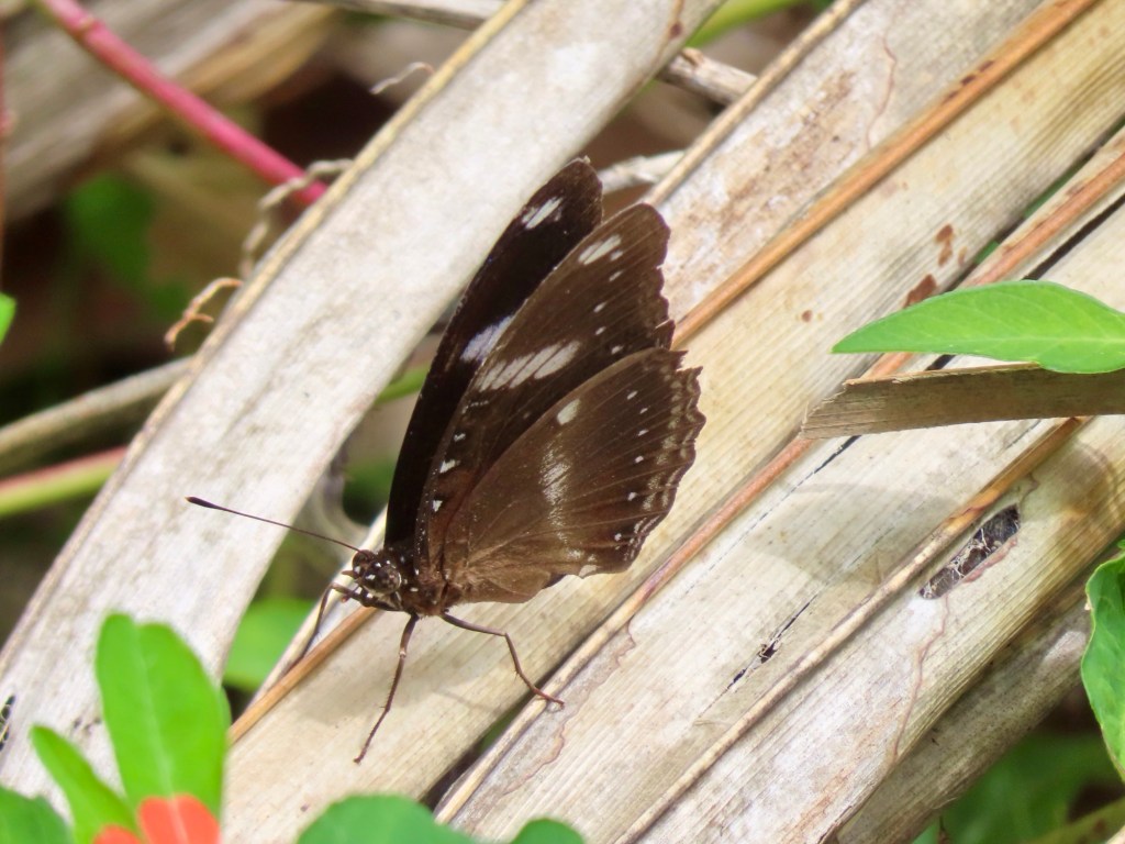
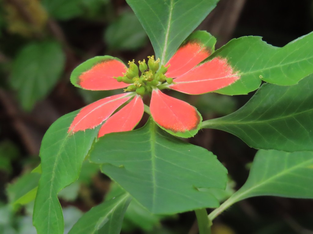
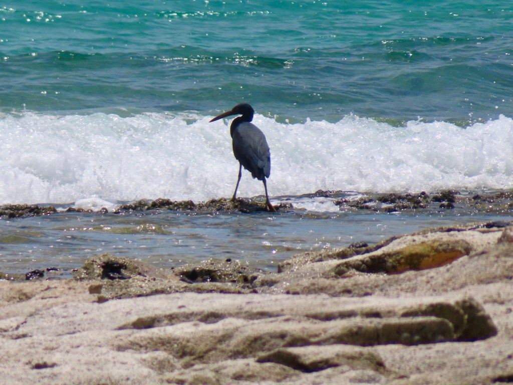
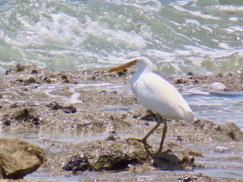
The trail up the hill….people in top right cornerMore climbersOur ship from Drafuni IslandDamaged research base for the Great Astrolabe Reef…one of the largest in southern hemisphere ….destroyed by hurricane 2 years ago.Turquoise waters….wow!Keith enjoying the the beach Looks like a huge chunk of lavaSome of the shells and coral GraveyardNewer gravePoinsettia…different!Can you believe this….gorgeous CoconutsWild life….lol!The unbelievably beautiful colour of the oceanPacific Reef HeronPacific Reef HeronFloating dock on DravuniFriends Judy and Greg
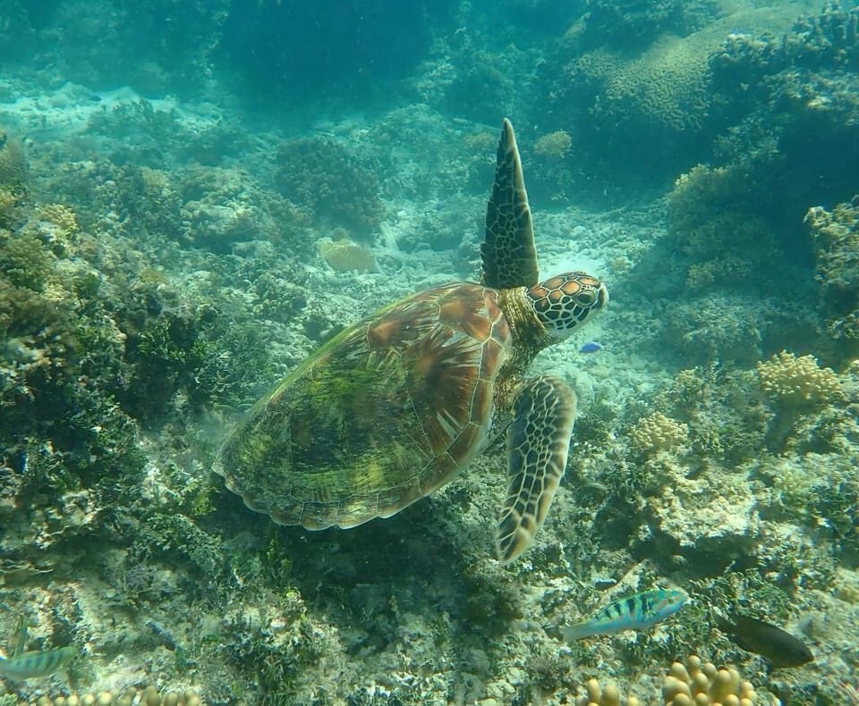
I tried to see some fish but alas….i barely saw any but two were so different. I am missing that I cannot take any underwater pictures. I have one picture of a turtle…. from the FB post for this ship
It will be 26 C temp …65% chance of rain even if it’s on the dry side of island.
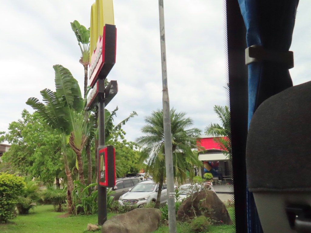
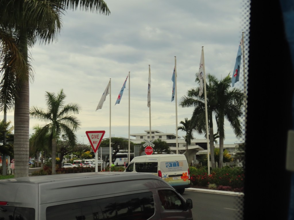
Use bug spray. McDs and Starbucks have wifi. 3 kms to town so take the free shuttle bus. LT……metered taxi, LH…..not metered taxi.
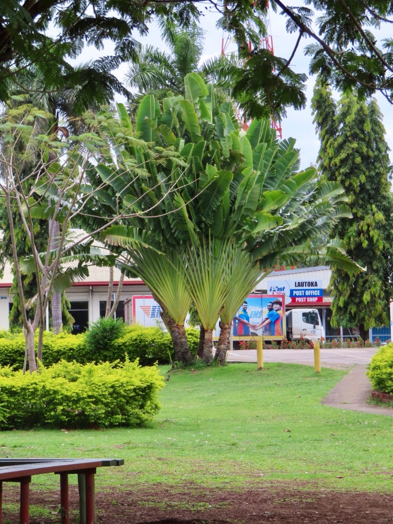
Laukota is the 2nd largest city on the island with 90,000 people.
There are lots of places to exchange money. Botanical Gardens…15 acres…. Lots of orchids. Garden of the Sleeping Giant. Flights directly to LA, SF and Vancouver.
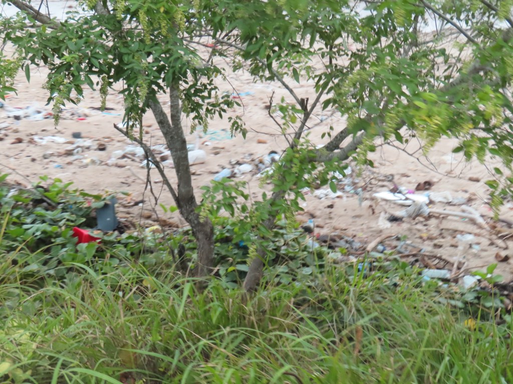
Bathing in mud hot springs. Savennie beach…so nice and sandy but filled with trash. Nadi, is the main beach town on this island.
Don’t drink the water or have ice cubes. The people that live here don’t have a problem but we just might.
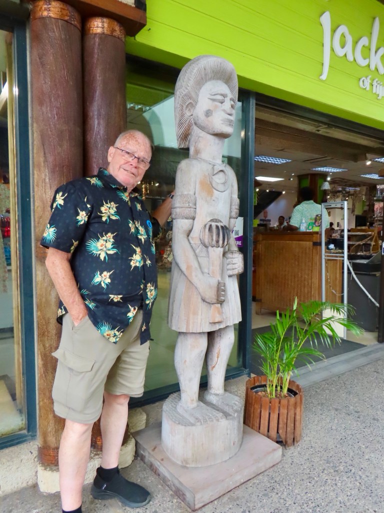
Jack’s still sells cannibalism forks…lol!
333 islands & 522 islets make up the nation of Fiji.
Excursion called “Leisurely Nadi”. Any word that has a “d” will be pronounced as if “nd”, hence Nadi is said like Nandi.
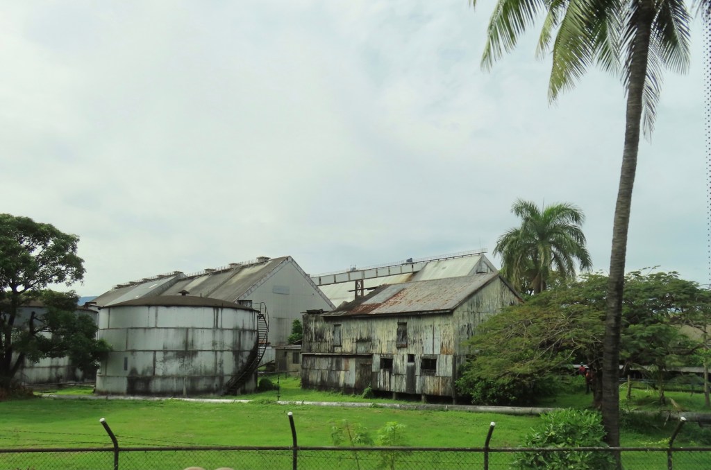
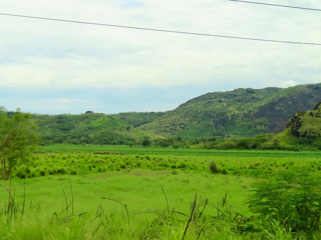
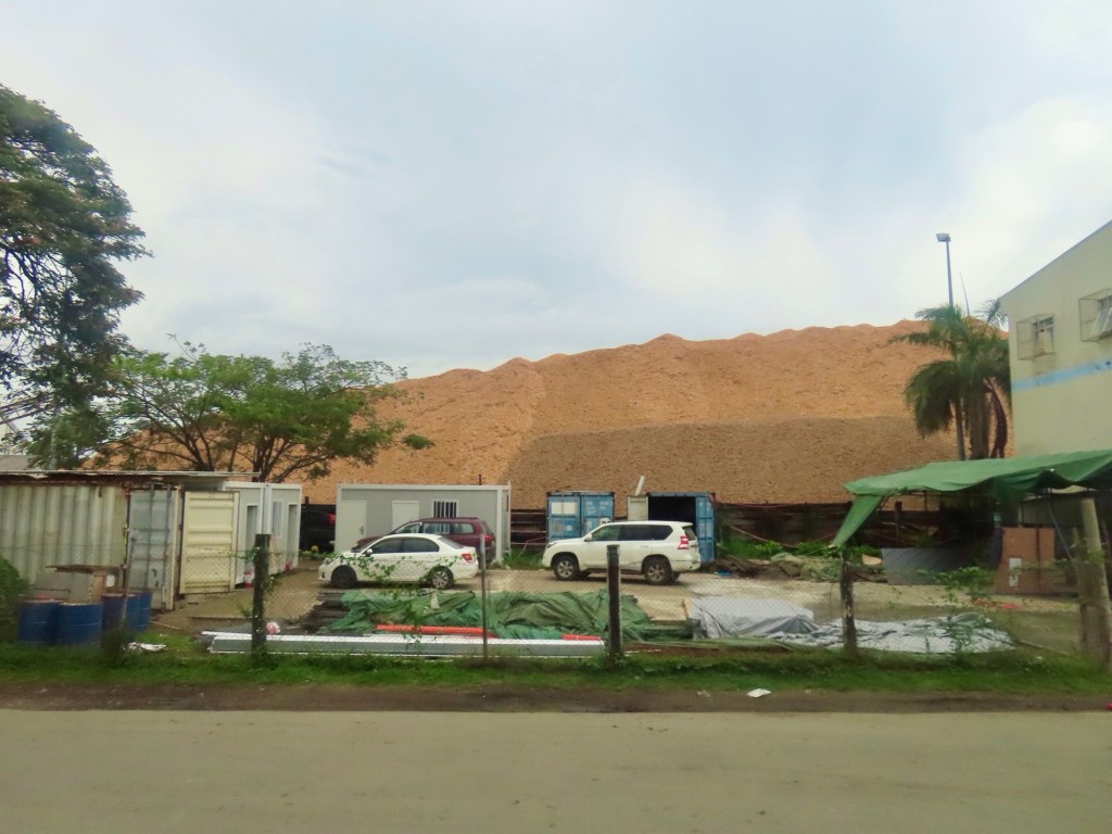
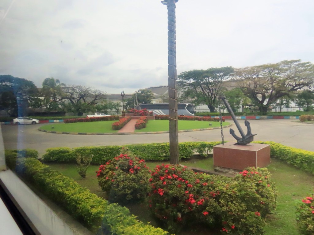
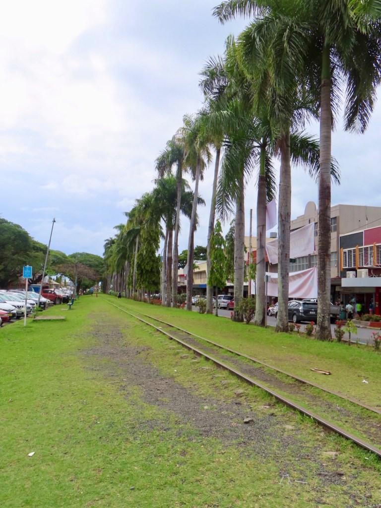
Indians are the 2nd largest population in Fiji with 44% of population. The main source of income here is a giant sugar mill. They also export pine wood chips to Japan. There is also a rum factory. Rum is made from sugar cane…. Rail lines are for sugarcane only, not passengers.
Foreign investors are leasing land for hotels etc. but there is no water on small islands. Tom Cruse has one island.
Sugarcane factoryThe Women of Sleeping GiantsBeing repainted….every 2 yearsNewly purchased vehicle being brought I. To temple to be blessed
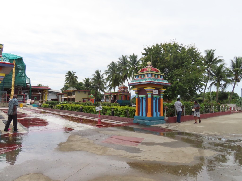
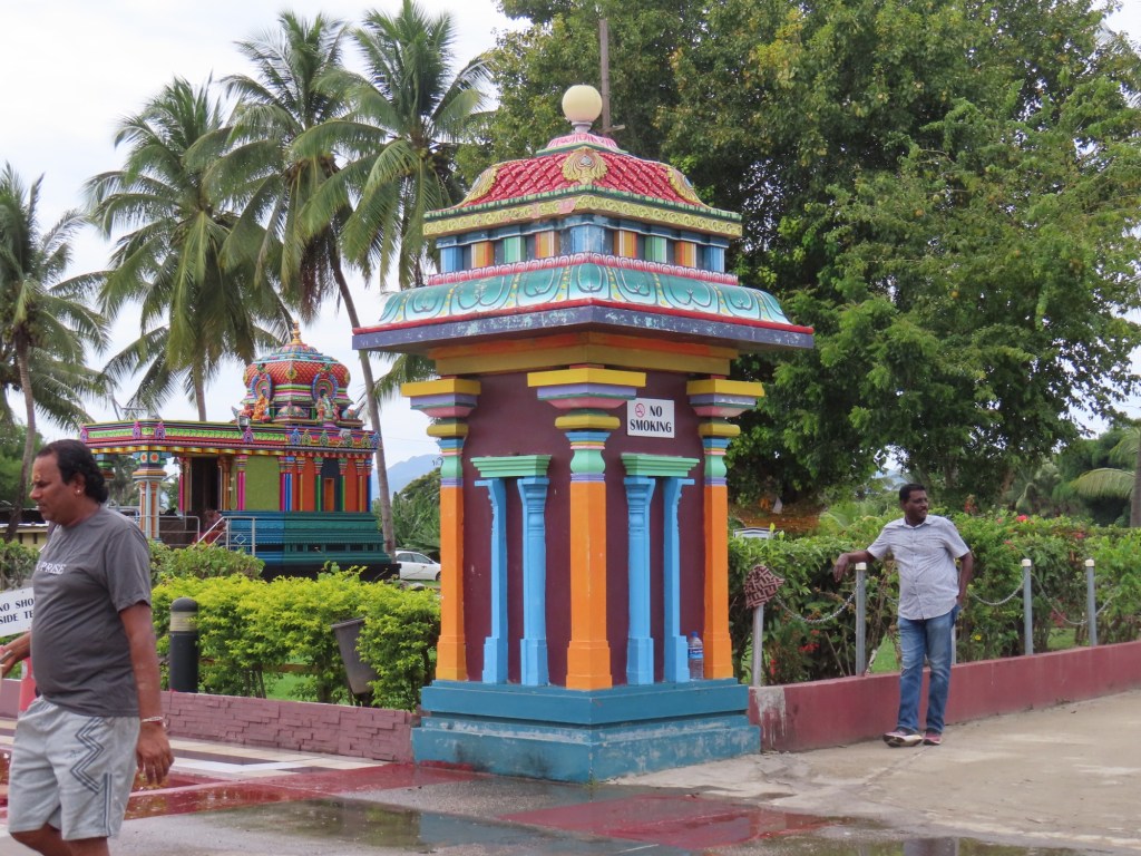
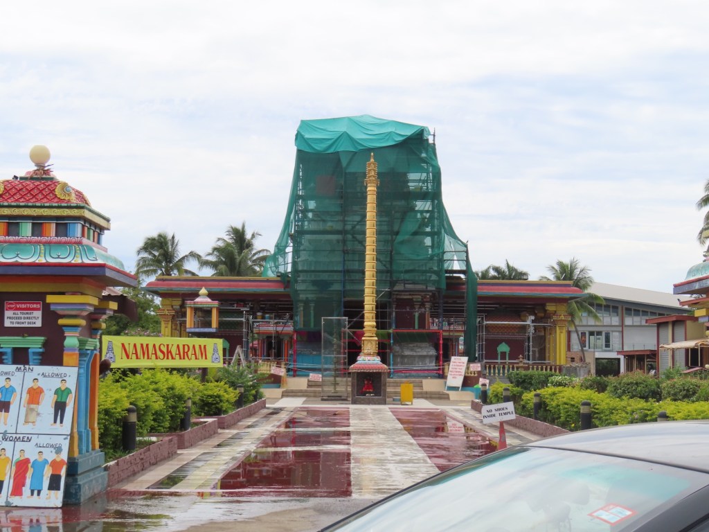
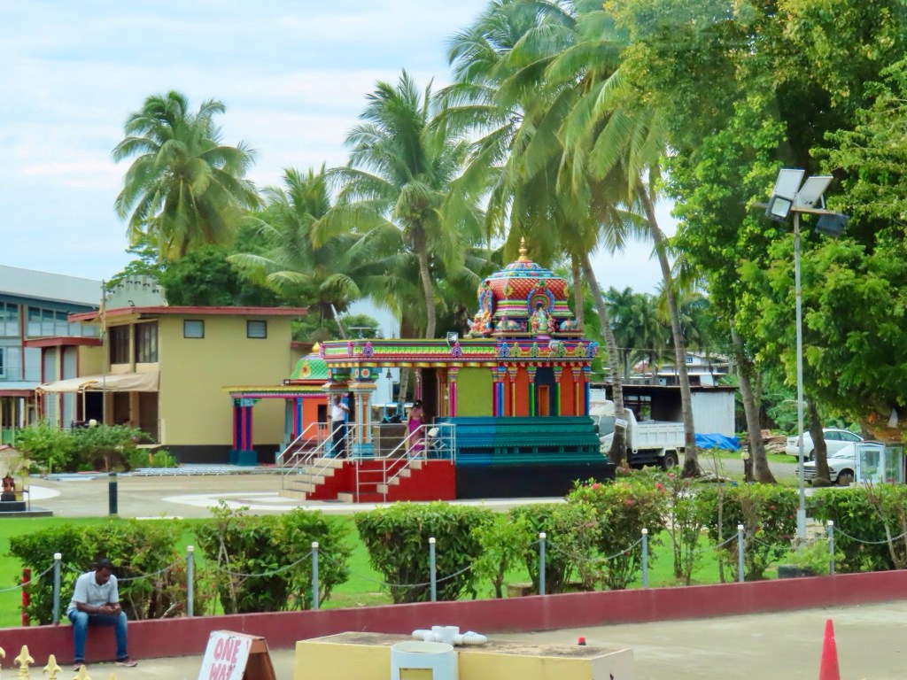
Largest Hindu temple in southern hemisphere in Nadi, where we stopped by the take pictures….from a distant. We are not allowed in. Diwali is coming up, is referred to as festival of light…is national holiday. 2-3,000,000 FJD for Hindu temple built in 1992-94. 4 full time priests now but used to be 7. The temple is painted every 2 years because sun and humidity bleaches paint. If you buy a new car they have it taken to temple to be blessed.
Sheep farming not successful because of high humidity so they cross bred with goats.
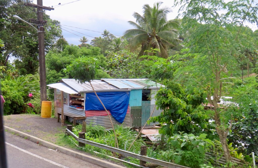
Tin houses are on built on leased land so that is why they don’t build anything permanent….hmmmm!
5 universities in Fiji…. 2 are run by religious groups. English is official but 300 dialects for under a million population. If you don’t pass English in any grade of school, you don’t pass to next grade. Every Fijian is registered to father’s village even if not born there.
Vacant lands that used to be used for sugarcane farms now are now being leased for industrial or commercial. Foreigners can own land if it is owned 5% by Fijians.
Volcanic islands. There are no dangerous animals other than boa constrictors. “They just squeeze the life out of you. Then they eat you.”
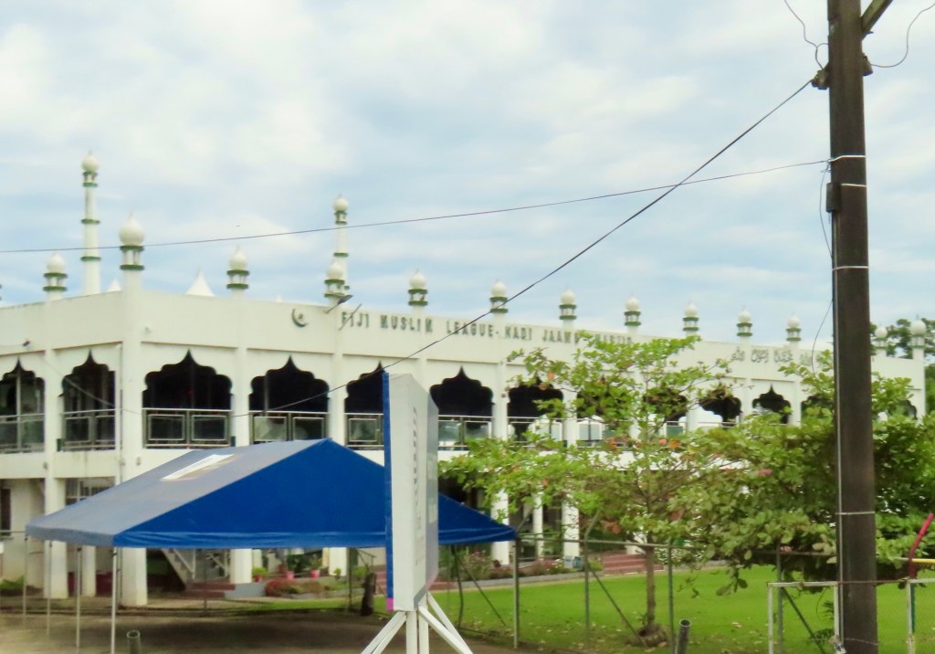
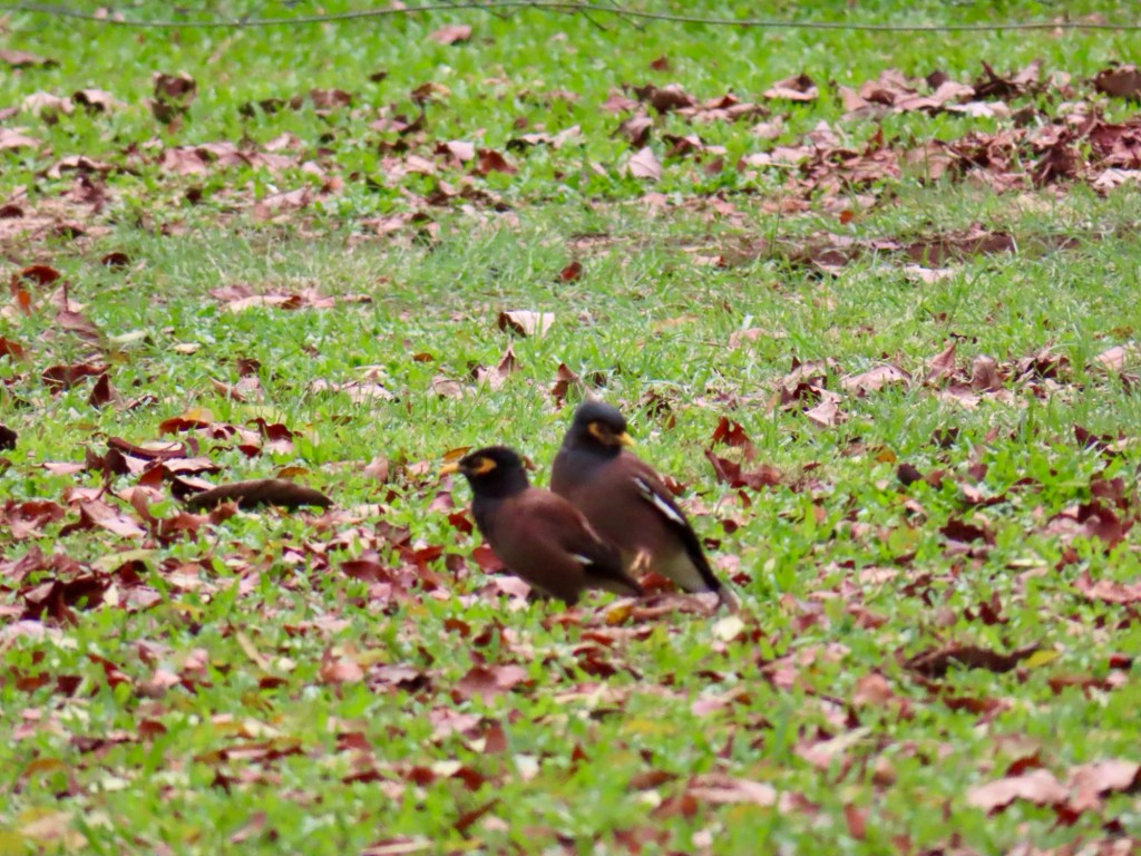
At the entry to “Jack’s” department storeMcDs FijidMC like KFCMoslem templeFijian version of a starling
DMC is like KFC but run by Koreans. There are also Burger King, Mcds.
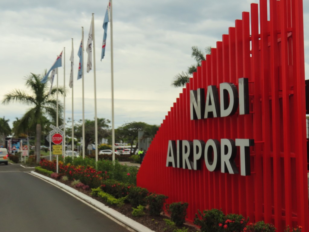
Nadi International airport was built originally as airforce base during WW 2. Built by NZ navy. Suva airport can only handle maximum size of 737’s but Nadi can take bigger planes. You can fly non-stop from here to LA, San Francisco or Vancouver.
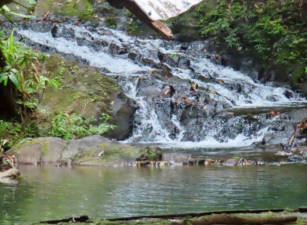
Base of mountain is mud thermal pool….mountain of the sleeping giant. The one to the right looks like a woman on her back that is 8-9 months pregnant. Man is to left.
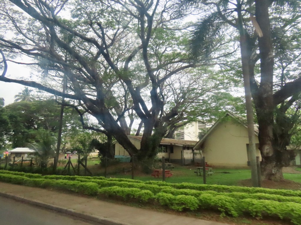
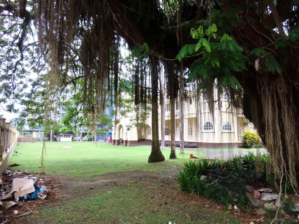
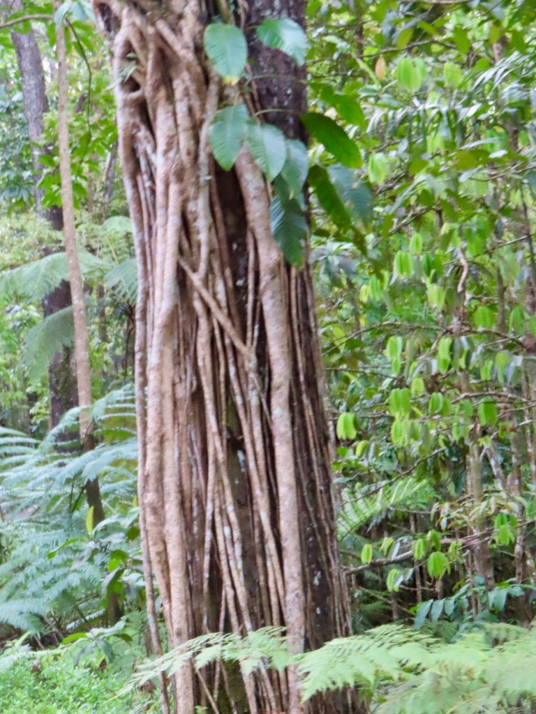
Trunks of trees at the base of the mountains are so wide it take 5-6 men spreading arms to reach around. 3500 years Fiji has been inhabited. 99% Fijian natives are Christian… 73% Indians are Hindus, balance are moslems. “Happy clappers” and “ceiling painters” are what the locals call Pentecostals.
2.80 $Fijian/ litre for gas
Education is compulsory and free, composing of 3 terms except private religious schools that have 4.
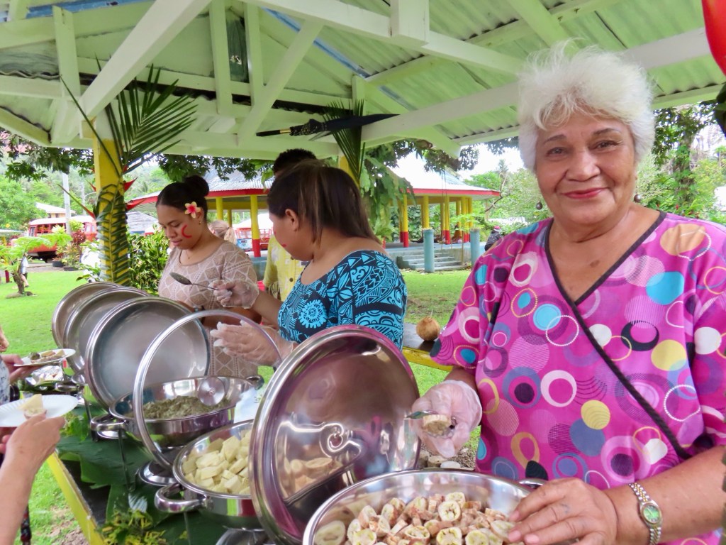
Seafood is necessary in any feast.
End of October to April is monsoon/cyclone season…..so high humidity and up to 33C….must have ceiling fans in homes.
Villager look out for all ……incl children if parents are out, give money to help feed a family.
50 USD for hotel here. Rugby is national sport. F$120,000-250,000 (75-155,000 CAD) for very nice homes. New govt recently moved retirement age to 55. Now theywant to move it back to 62. Civil servants have housing but have to vacate at retirement but they have pension then.
38% GDP is from tourism. There are tourist police to protect tourists.
Fiji is still a member of British Commonwealth even if has been booted out twice before.
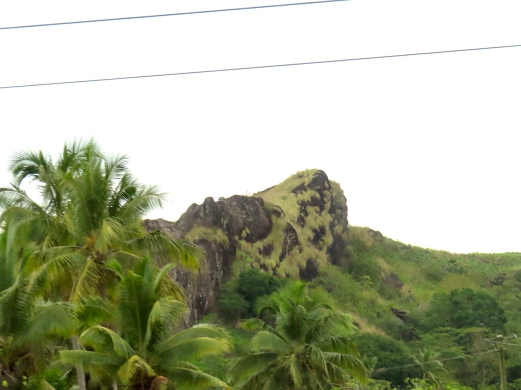
Drove by Alligator Head mountain.
Alligator Head Beaches litter
“Rolling of the golden orange”……the way it used to be to find your life partner. The man lets the orange roll toward the women. The women jump for the orange….sometimes there is a fight for it….lol!
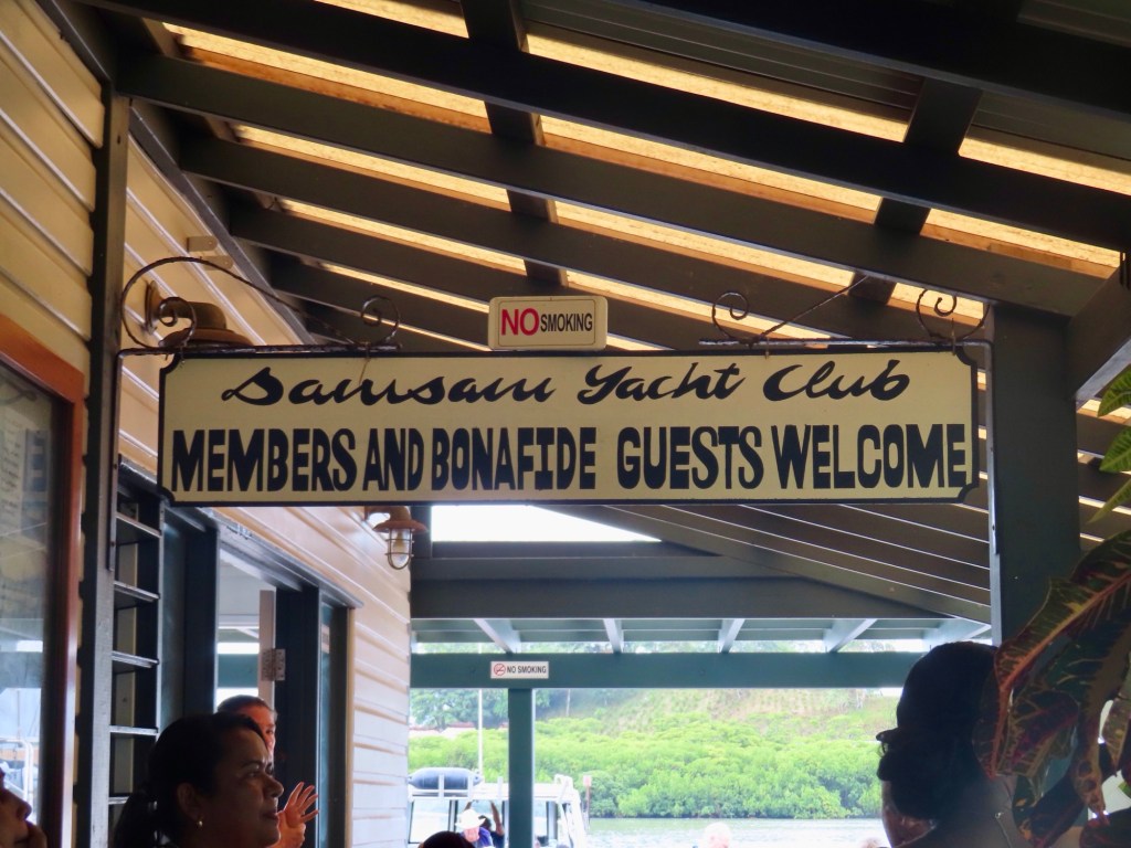
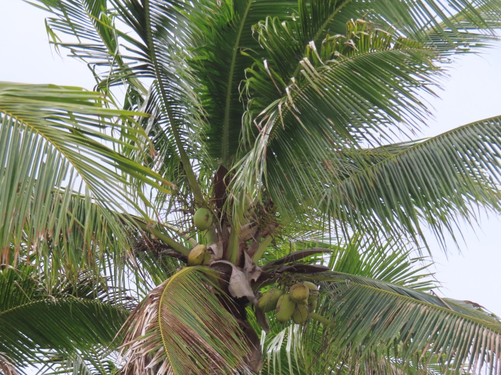
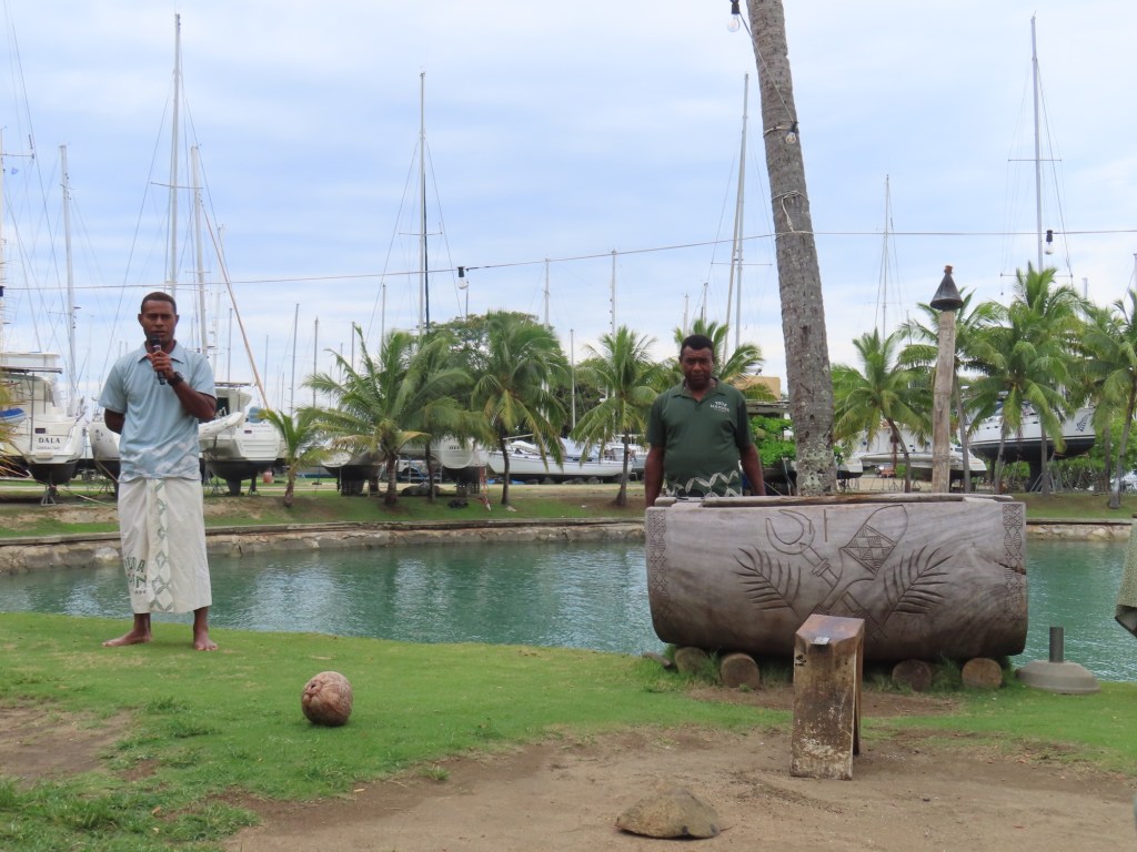
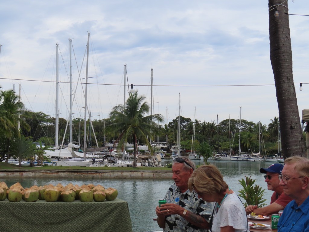
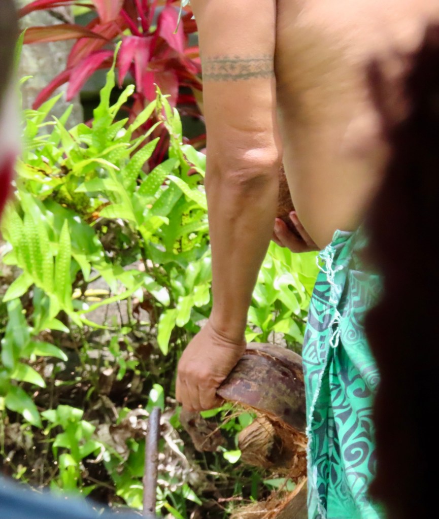
Here at the yacht club where we stopped by for a demo of opening coconuts and had some treats.
15 mango for 2$… right now. Later in year they are cheaper. You can get drunk from the sweetness. Brown coconut used for cooking, green are young…for drinking the milk.
28% unemployed before Covid. But the country has opened up to foreign investors to open businesses and so unemployment has decreased. Was FJD 2.60/hour income. Now $4.00/hr. FJD 14-15/ kg for meat. Needless to say they don’t eat much meat. Their protein source mostly consists of fish
Recently police confiscated 3.6 tons of methamphetamine plus another 1.8 tons …..drugs are a problem here (as well as in the rest of the world it seems).
Below are just an array of pictures that I took when I took the shuttle into the town.
Pine wood chips destined for JapanAt the round-about on going into LautokaOne of the nicer homesSugarcane rails and empower palms the line the Main Street of LatinaCheap …esp.when you convert to CAD or USDSome more of 5his e starlings Flame tree
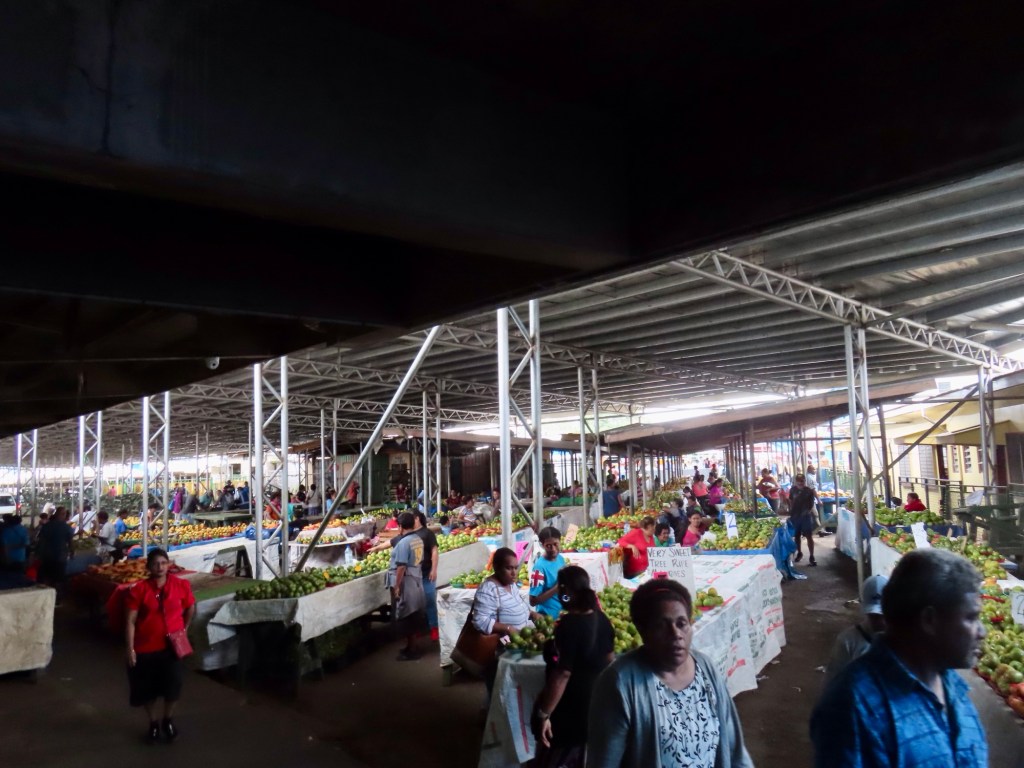
I didn’t do an excursion today, just did some catch up and then went for a bit of a walk first through the local market and then through some of the streets of downtown Suva with friends May and Lindsay. So just some random pictures ….
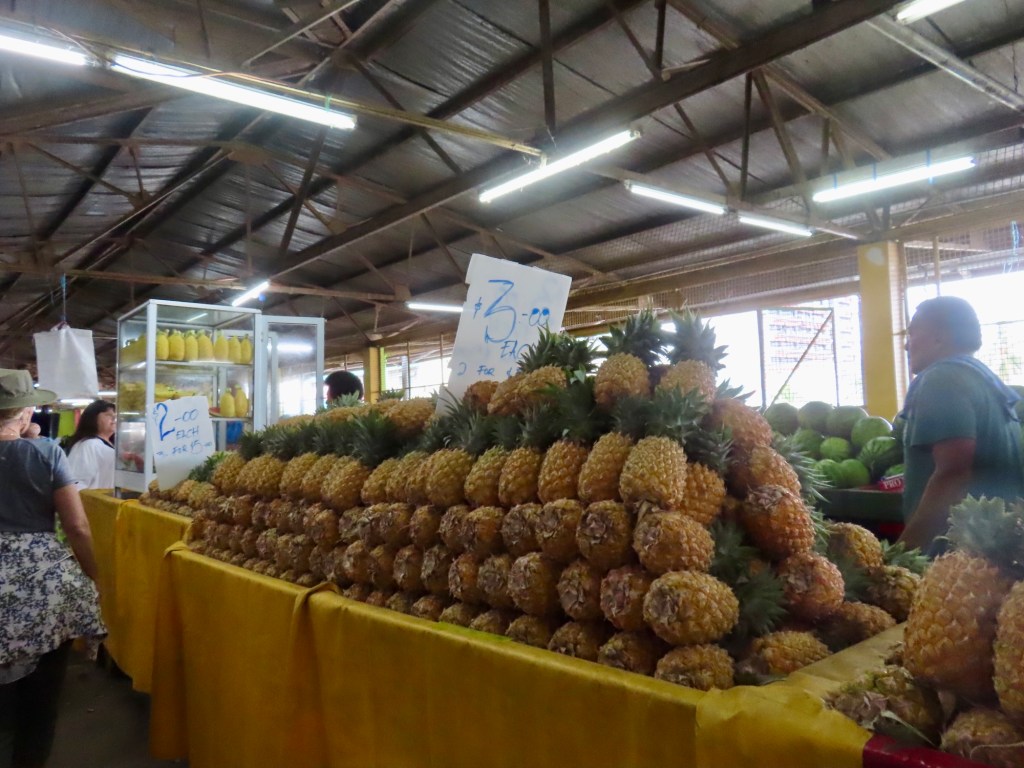
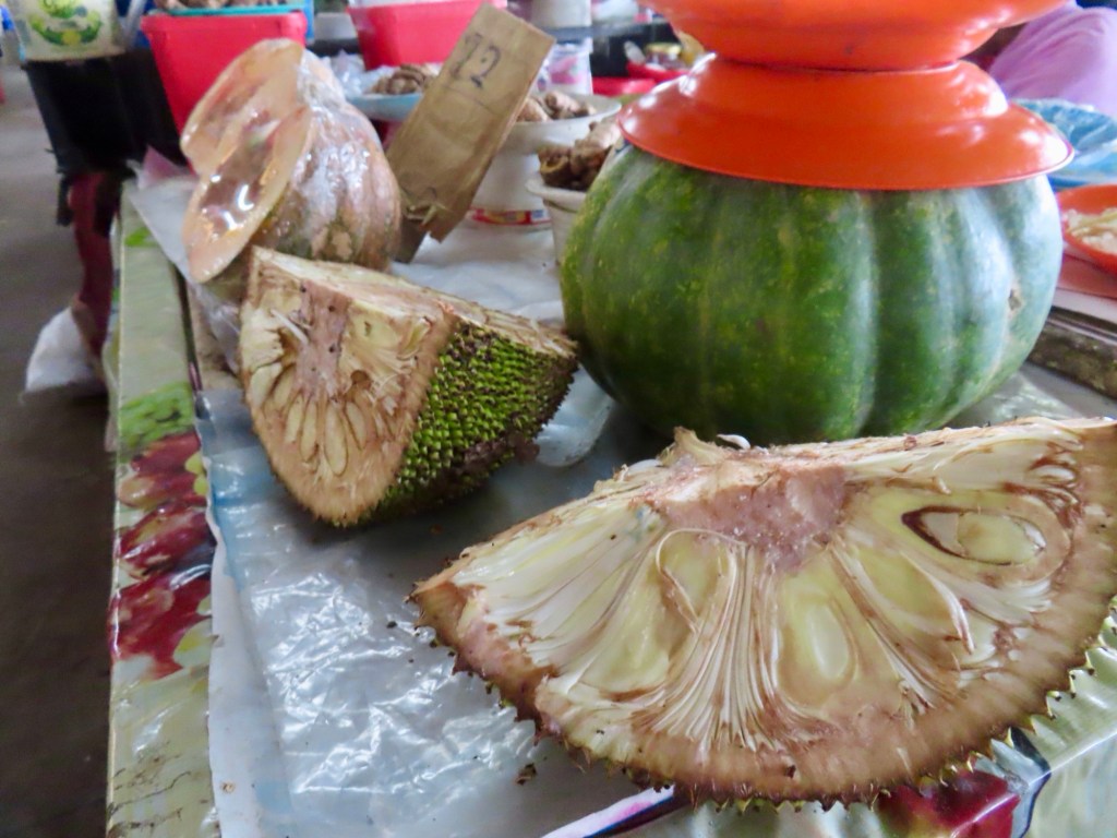
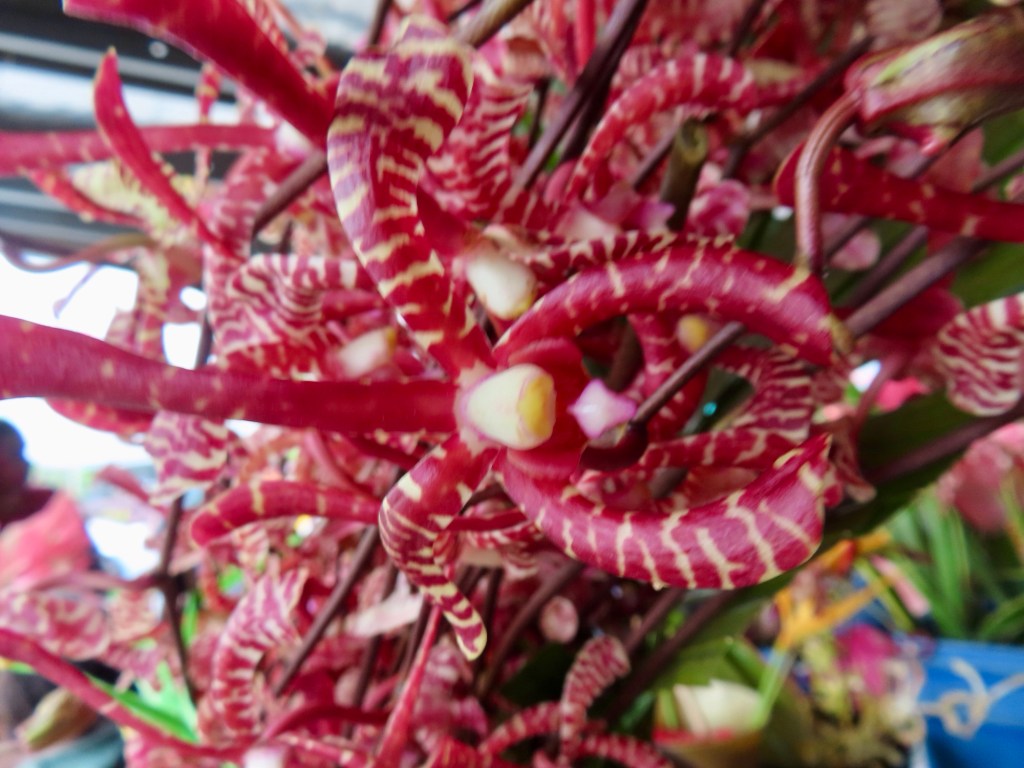
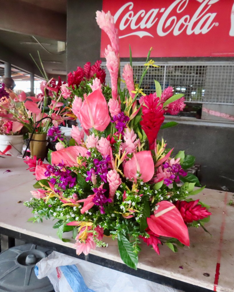
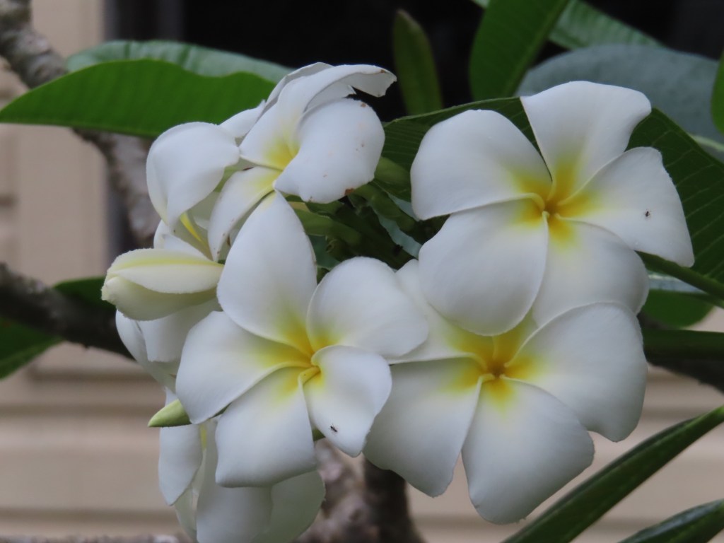
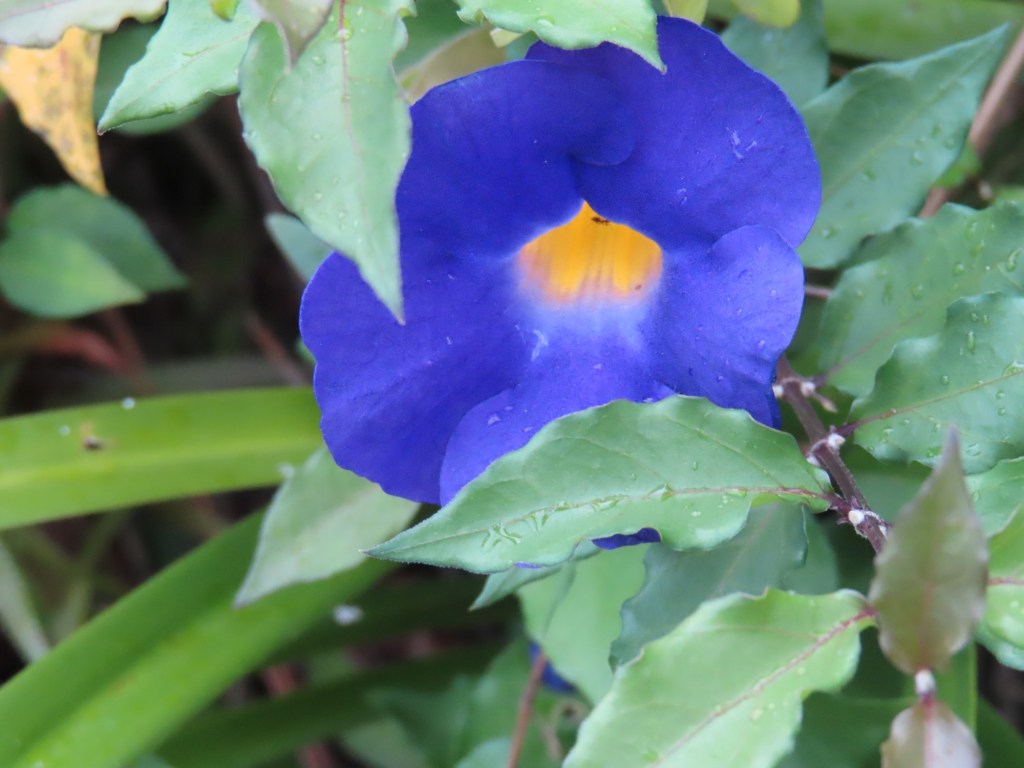
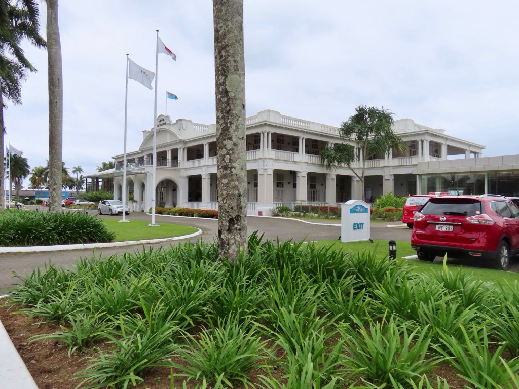
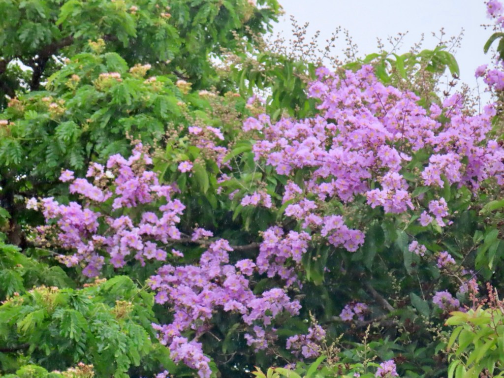
Golden pineapple….$2-3 Fijian or $1-1.50 USDorian So hugeWeird looking orchids$10 Fijian for this floral arrangement In the marketMary, the fabulous underwater photographer and me One of a number of colonial type architecture Hanging plants called epiphytesPlumeria….smells heavenlyGrand Pacific Hotel SuvaGrand Pacific Hotel Suva poolJacaranda treeRestaurant on the shoreIt was a grey day with a bit of rain but still about 27 C.
Lecture about Suva and the rest of the stops in Fiji
Don’t drink the water they are telling us.…30% of US bottled water comes from Fiji……but 53% of the population in 2011 didn’t have access to clean drinking water. Deep acqifered water is supplied from under volcanoes,creating perfect filtration system. Fiji is the number 1 source in US, for bottled water. The Californians Lisnick family bought the rights to the water in 1996. Now the income from water is $43 million. It is the number 1 income…is 24% of all exports. So many of the Fijians still don’t have a clean supply of drinking water though.
An Italian firm is developing something to clean the water using seagrass….to clean up coastal water. It is being looked at to solve the problem.
Fiji used to be known as cannibalism isles. It had a rumoured reputation so not many were keen to stop here.
Many came though as ”beachcombers” from shipwrecks. In 1874 it became British crown colony. They made it illegal for non Fijians to own land. Brits brought South Asians in as indentured labourers to work the sugarcane. And so they remained. I think I heard that they are 40% of the population. In 1970, Fiji gained independence from Britain.
#1 & 2 stop-Suva, apparently became known as the NY of Pacific. There are not so many good beaches beaches
Sigatoka sand dunes I’d like to see….also Suva national park
250 varieties of palms, hot springs….maybe can try that.
Biggest income is from tourism brought about by the export of Fijian water that so few locals still have access to. Something is wrong with that picture in my mind
Oct22 (here)….Suva
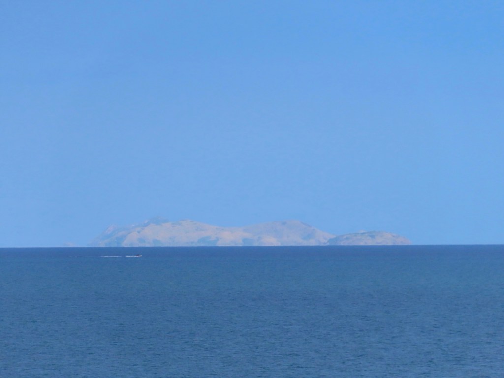
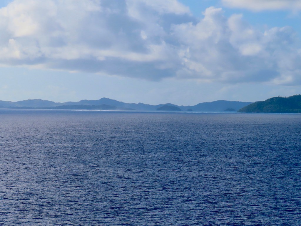
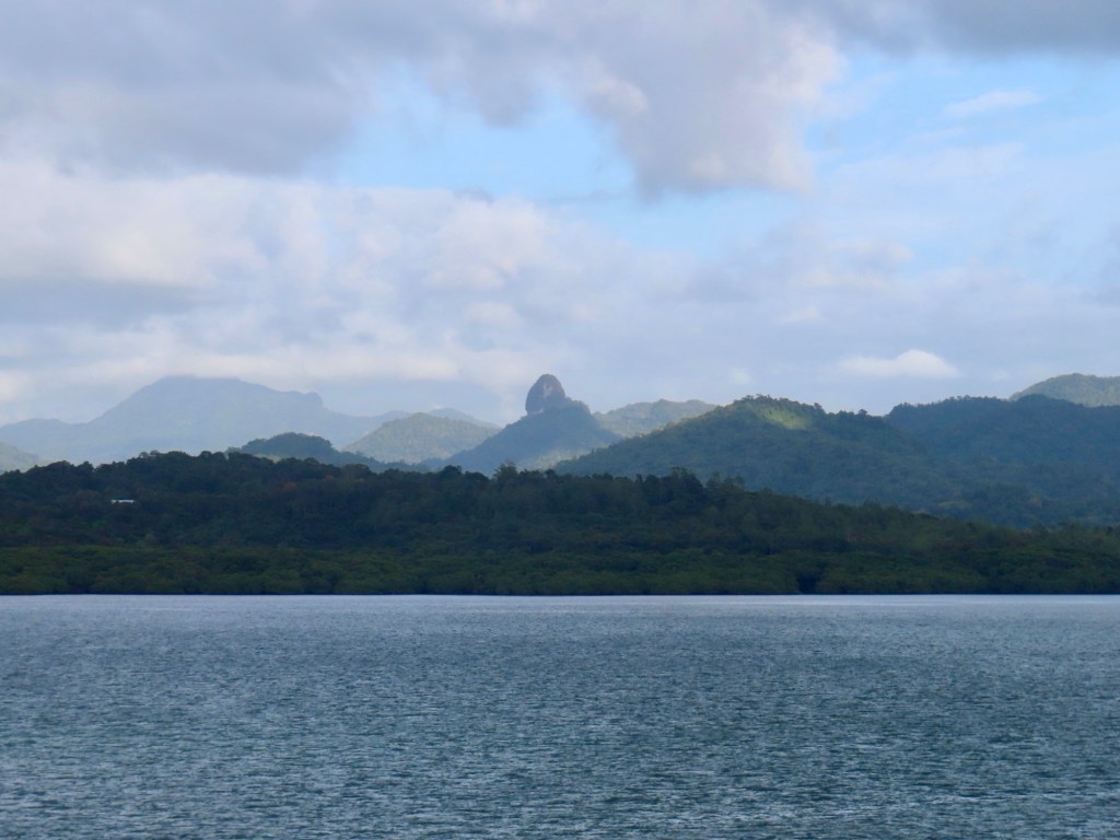
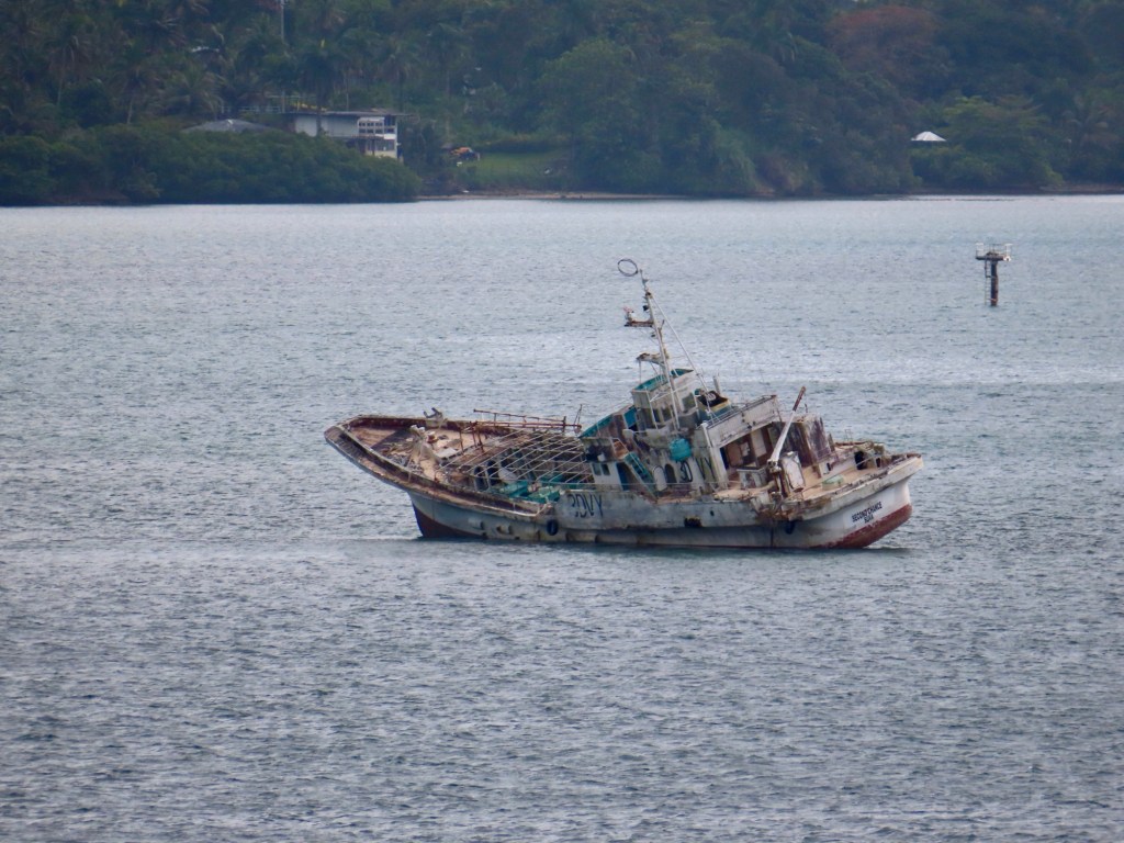
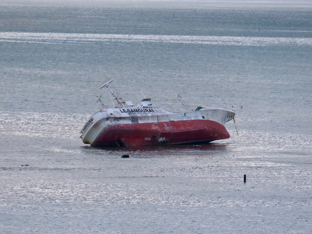
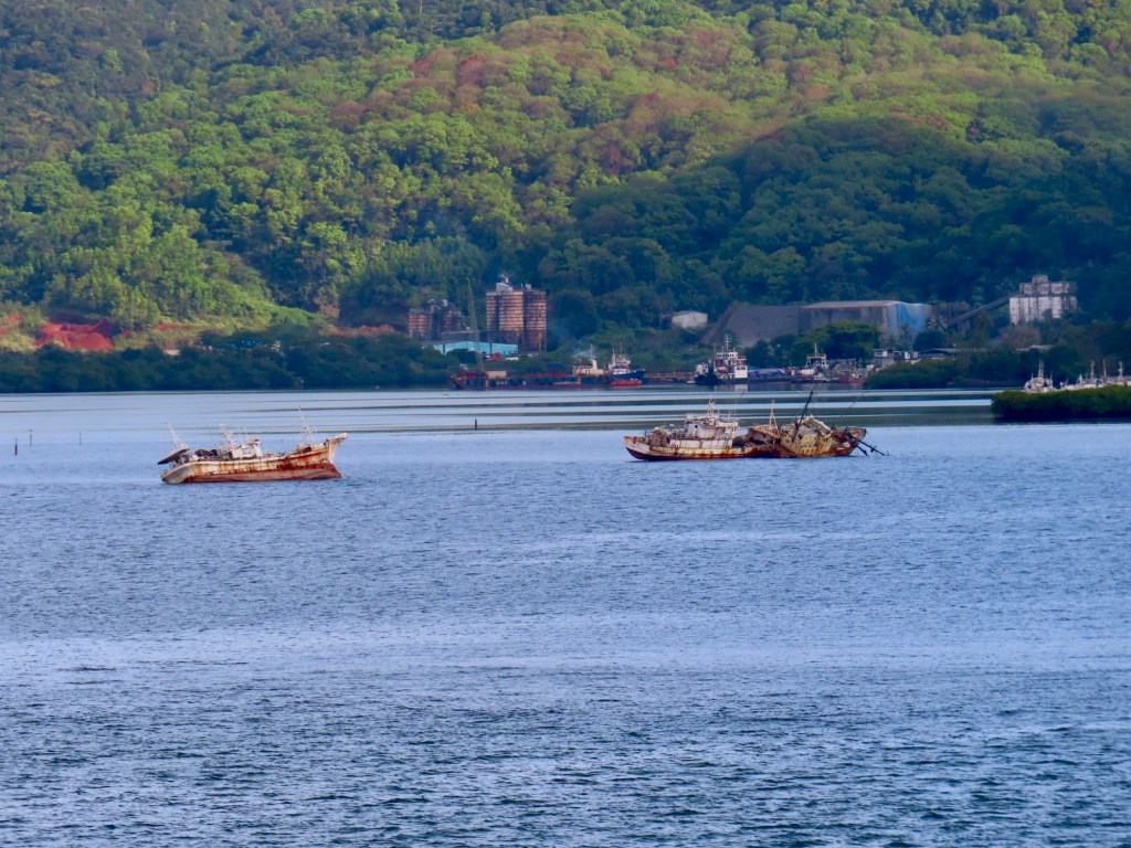
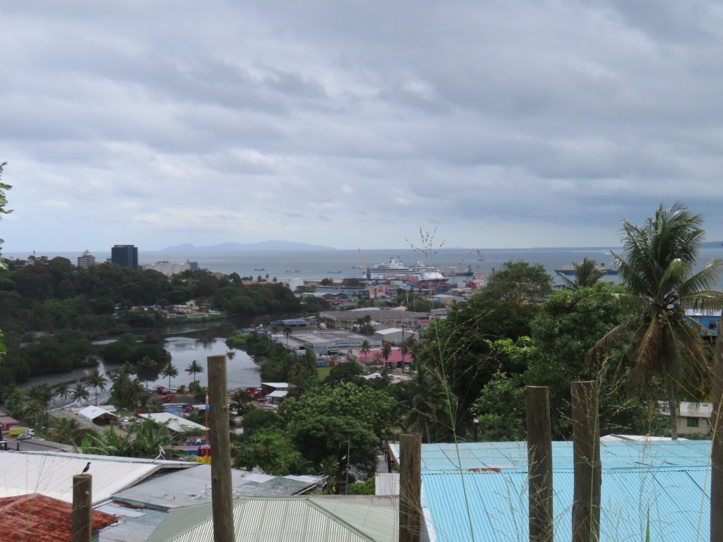
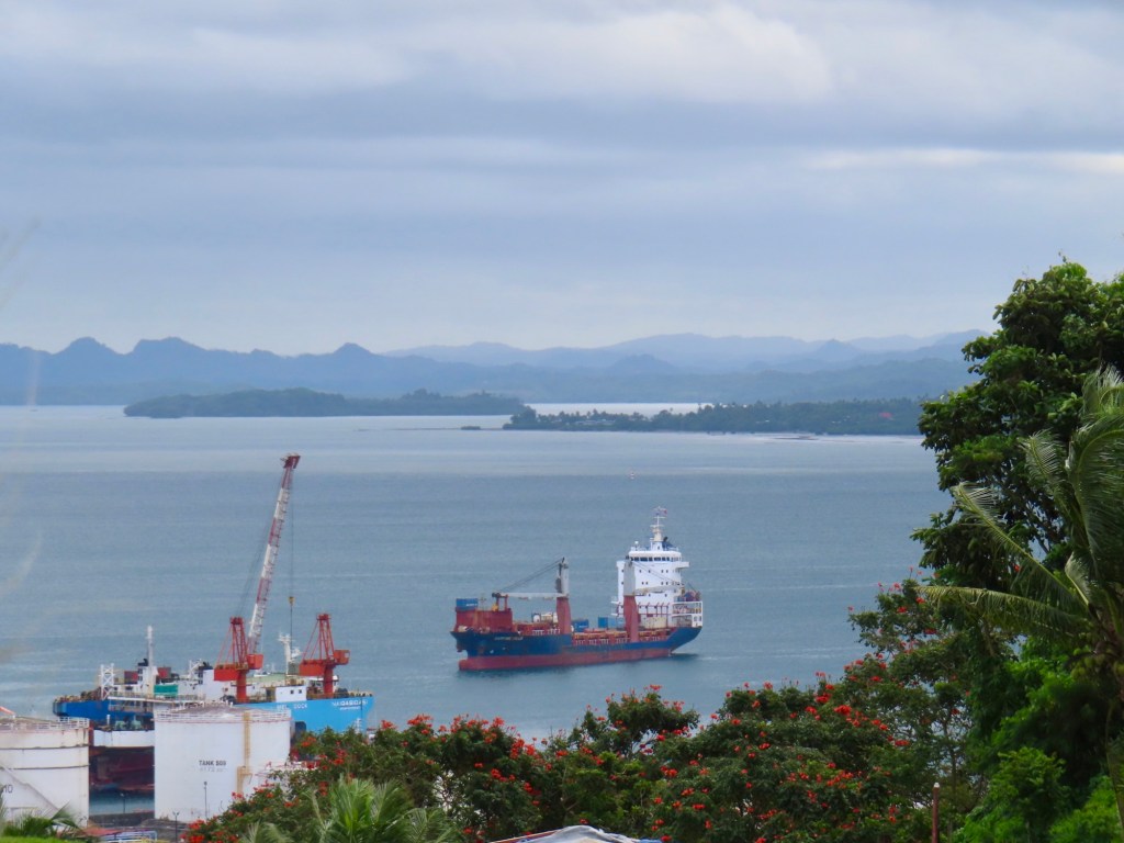
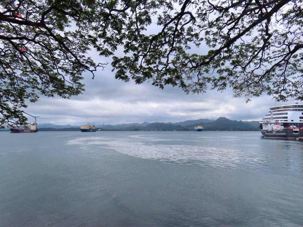
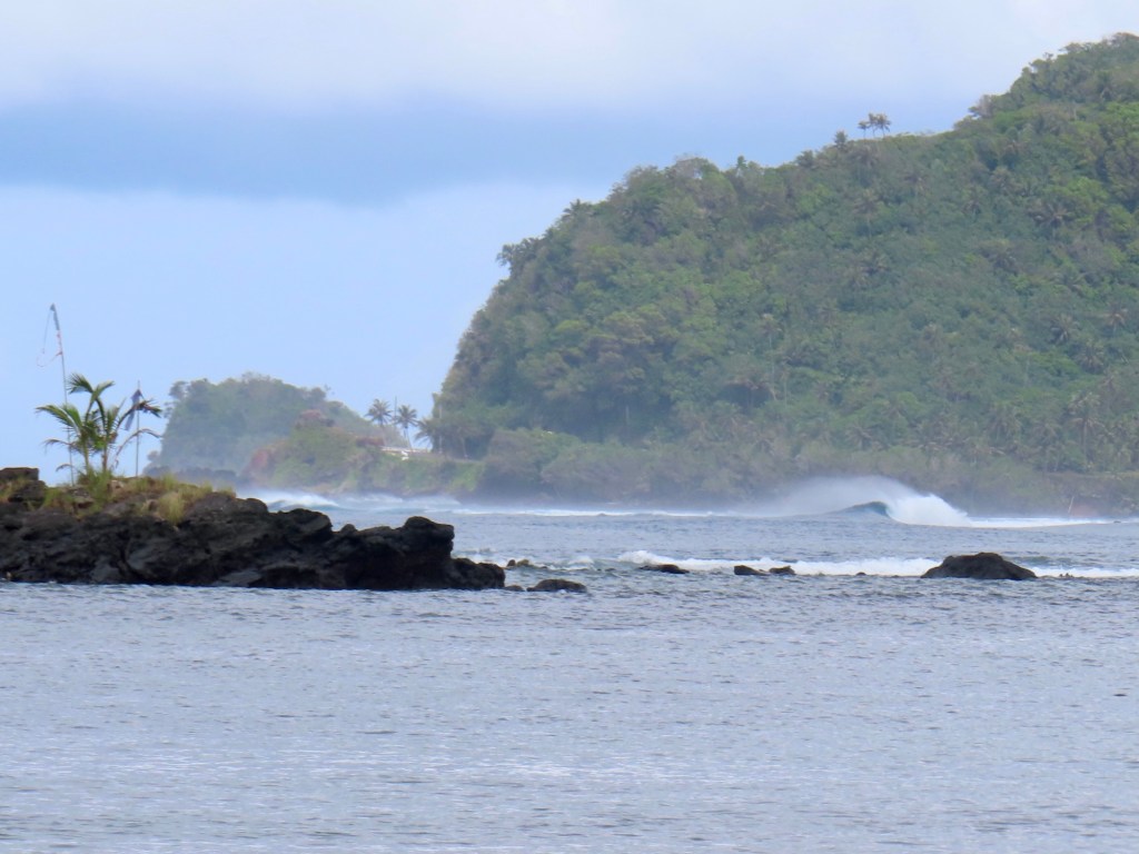
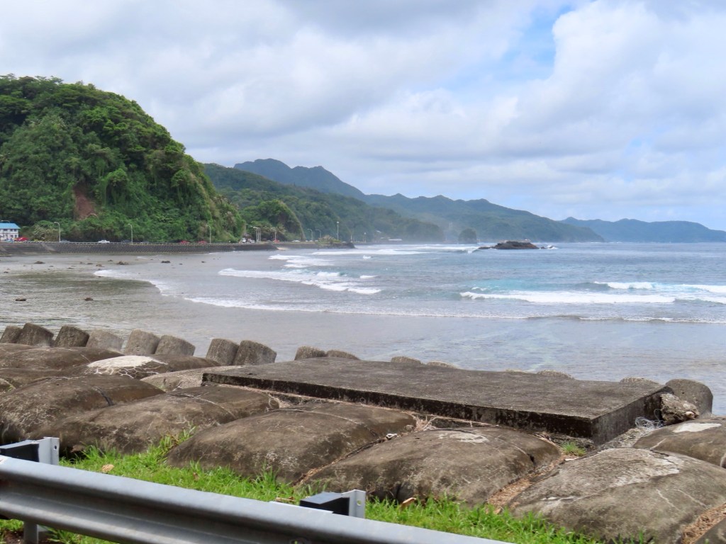
As we sail into the Suva harbour, I notice that there are so so many “dead” ships. It looks as if the “bay” is wide open but then you notice that the reefs are all around, just below the surface making for a narrow accessible passage in. (It reminded me of another place ….in India, that the beaches were littered with rusted-out hulk of ships. I think it was in Mangalore). Looking beyond, the mountains are really quite rugged. One mountain “Joske’s Thumb” is a volcanic plug, looks as though there should be a statue atop it.
Reef is so close to surface Joske’s ThumbDead ships on the reef
Before getting our excursion, Keith and I walked to the “Apple” repair store. It was way further than we had anticipated. And we had quite an experience getting across a round-about when they are all driving on the “wrong”….lol, side of the road……..it was a little 😨scary! Unfortunately, all they could do there was dry it out and that was no guarantee. If it needed parts, it would take 2 weeks to get them …..from Australia ……and would probably cost the same as a new phone. I guess I am just SOL! 😩.
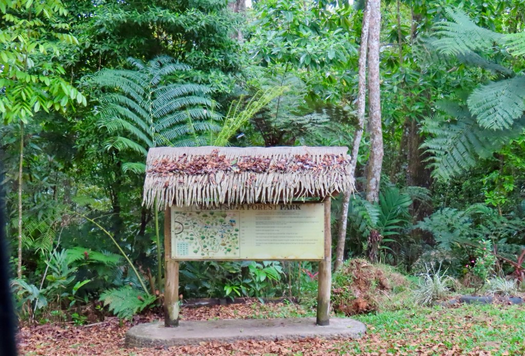
Tour to Col I Suva park and waterfall
“Bula” is hello in Fijian, vinaka(sp) is thank you
330,000 in area….90,000 population in city. Suva is distribution centre for many of the other countries in the South Pacific..
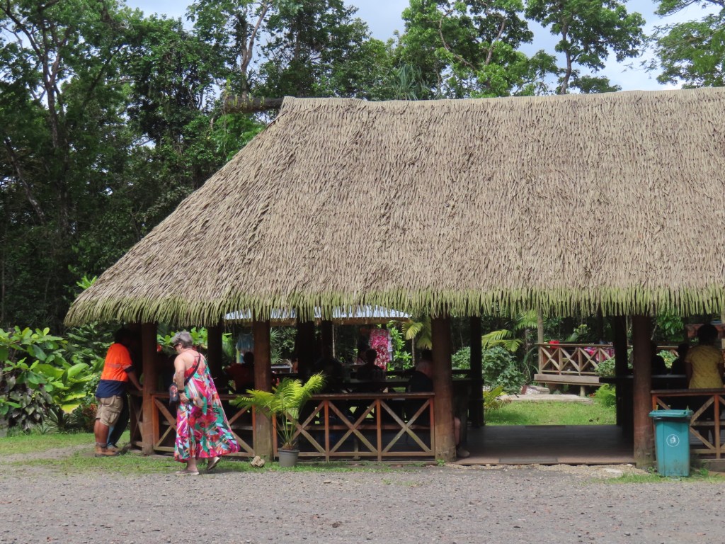
Main source of income used to be sugarcane now but is tourism (and water). From here on in I could hear so little, mostly cuz the diesel bus we were riding in had the door open as the driver accelerated up the hills to the Colo I Suva Forest Park/Reserve, it was extremely noisy. And so I put my iPad away.
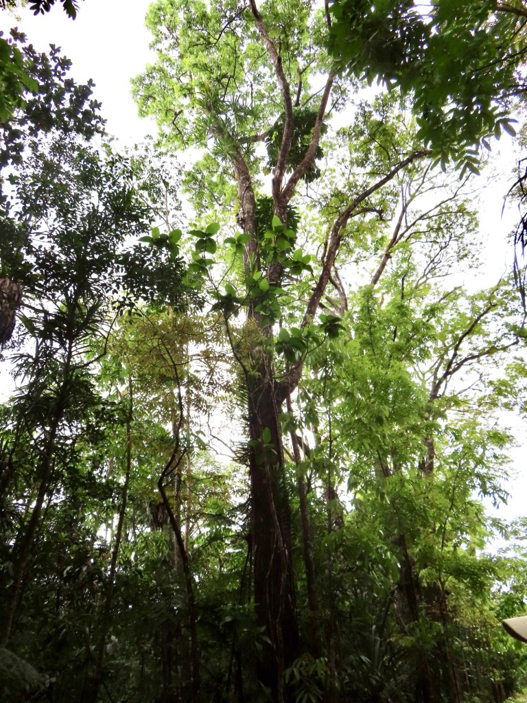
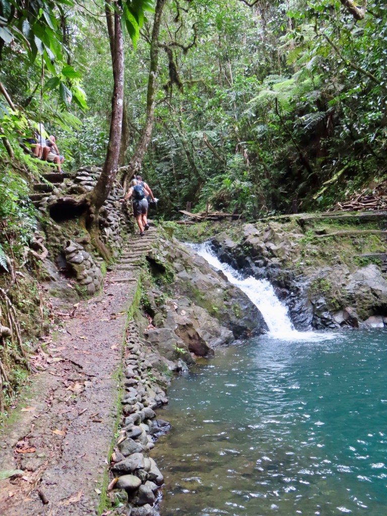
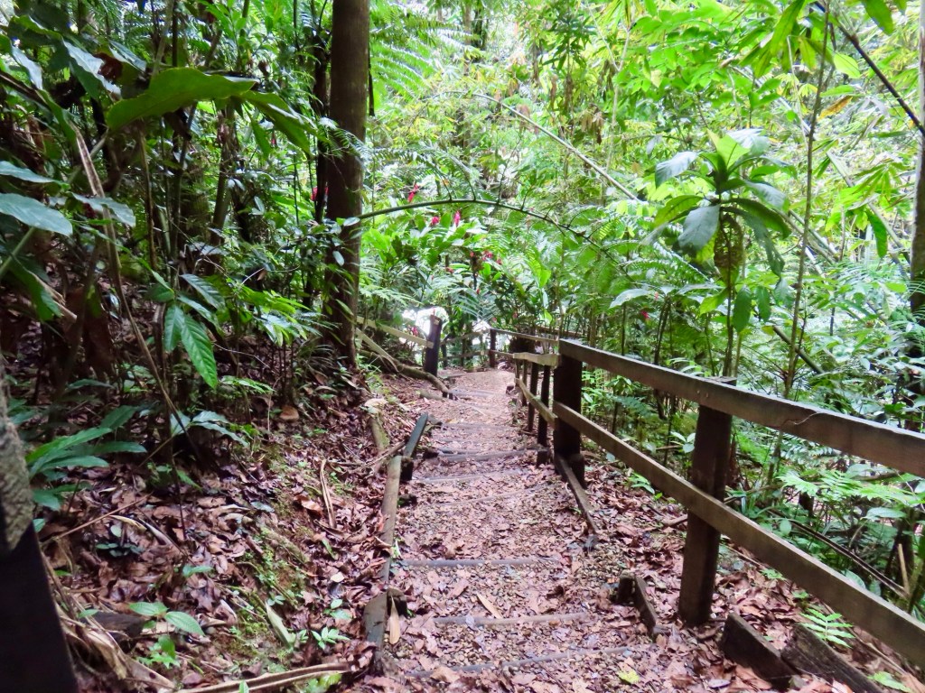
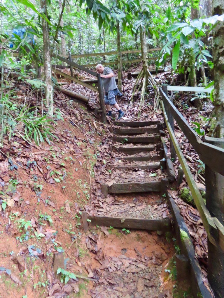
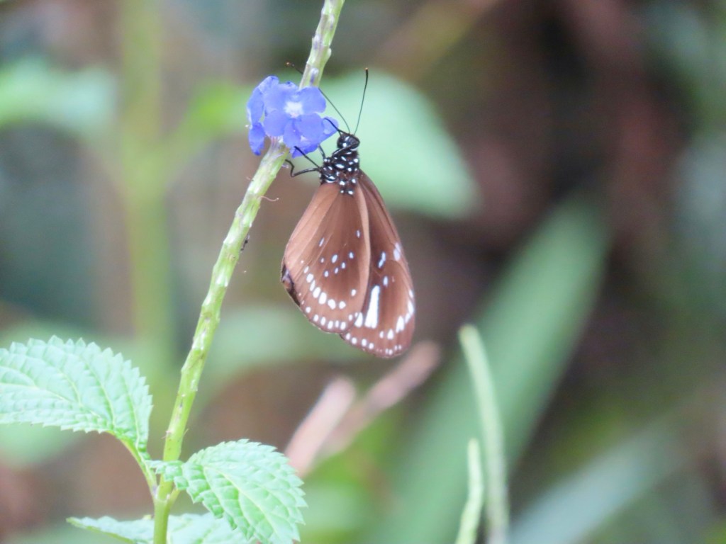
After arriving at the park entrance we walk down a gravel road where a guide pointed out different jungle vegetation. The description of the tour had mentioned birds. We never say a one. I was very disappointed! Only heard cicadas but did see some butterflies. At the end of the road we trekked down a somewhat treacherous trail to a string of waterfalls. It was very hot and humid so I decided along with a good number of others, I would go for a swim. Oh my…..it was mighty cold getting in but then……it was sooooo nice…..not bad at all. Unfortunately, what goes down must go back up.
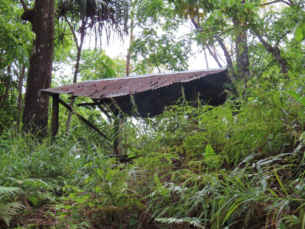
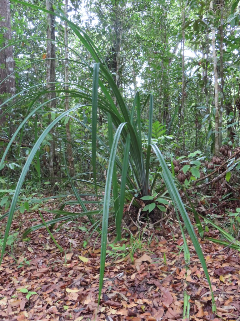
DownUp One of butterfliesGiant fernsGinger familyStarving pup 😢Mahogany tree covered in vinesTin shacks View of our home away from homeRusty old fishing boats…atleast these are afloat
Some of my observations of the areas that we drove through getting there…..some quite lovely homes in the area near embassies/consulates but oh my, talk about tin shacks and I am not talking just the roofs. Pretty poor! We also saw banner flags on hydro poles like we see advertising coming events/festivals. They were advertising about AIDS and HIV……”it only takes once”, a picture of a guy say that he’s been living with AIDS for 10 years, “get vaccinated”, etc. I don’t think I have ever seen that wherever I have been before.
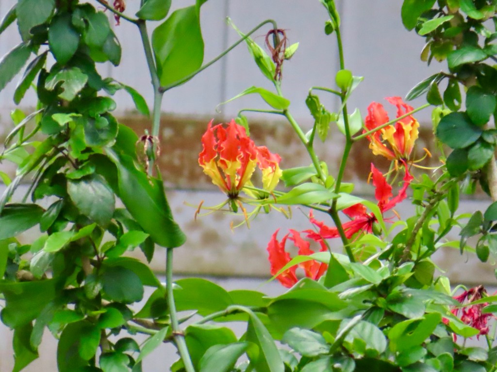
The Fijian Island nation This and the next are pictures that my friend Mary took while snorkeling on one of the reefsNow with my phone I will not be able to post any from underwater unless I “borrow”
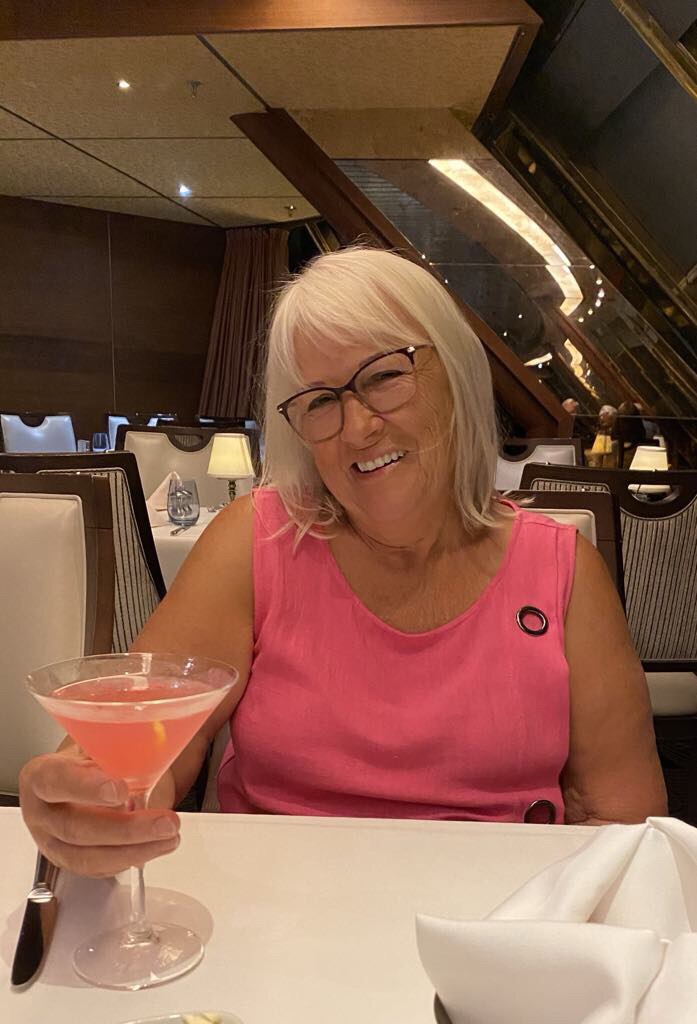
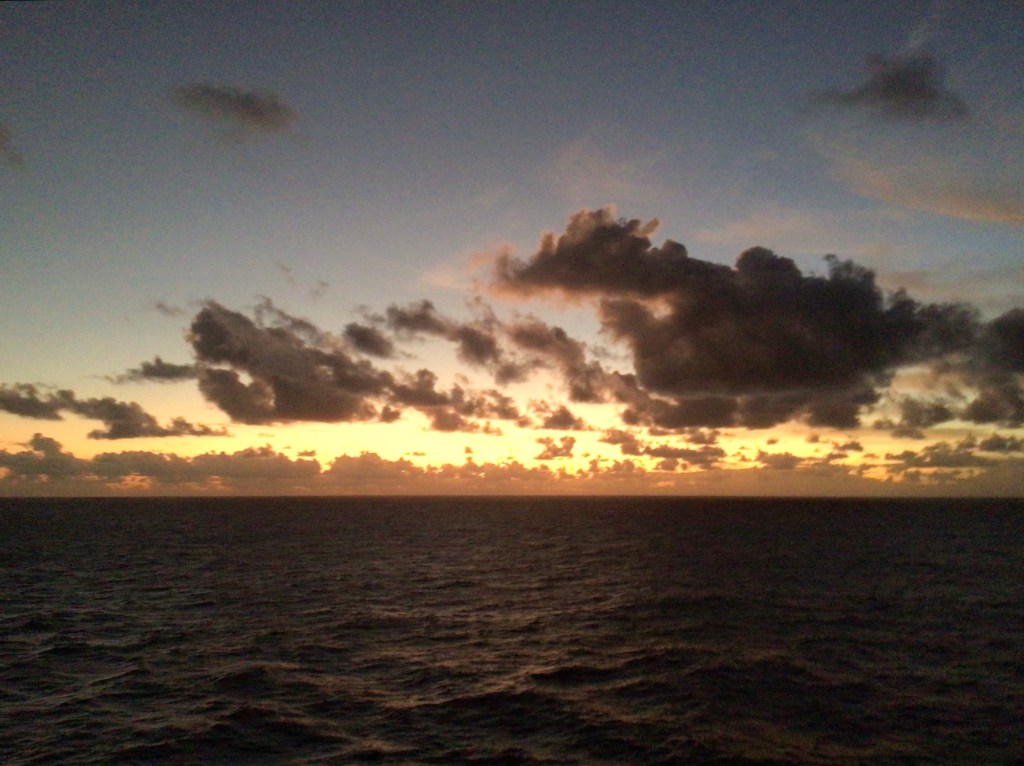
Me at dinner the night beforeMorning sunriseThere’s a jungle out there
We were greeted by singing and dancing on the pier.
Not a good video but….
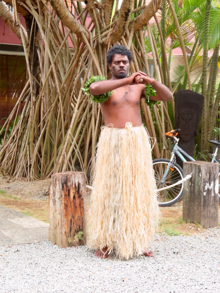
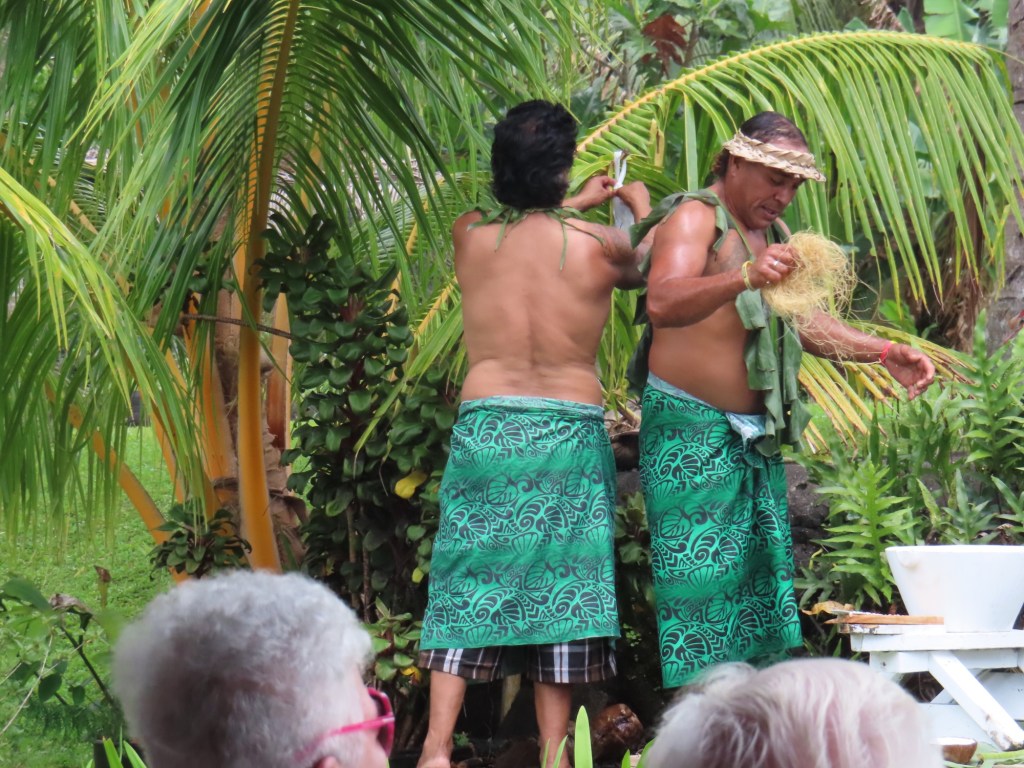
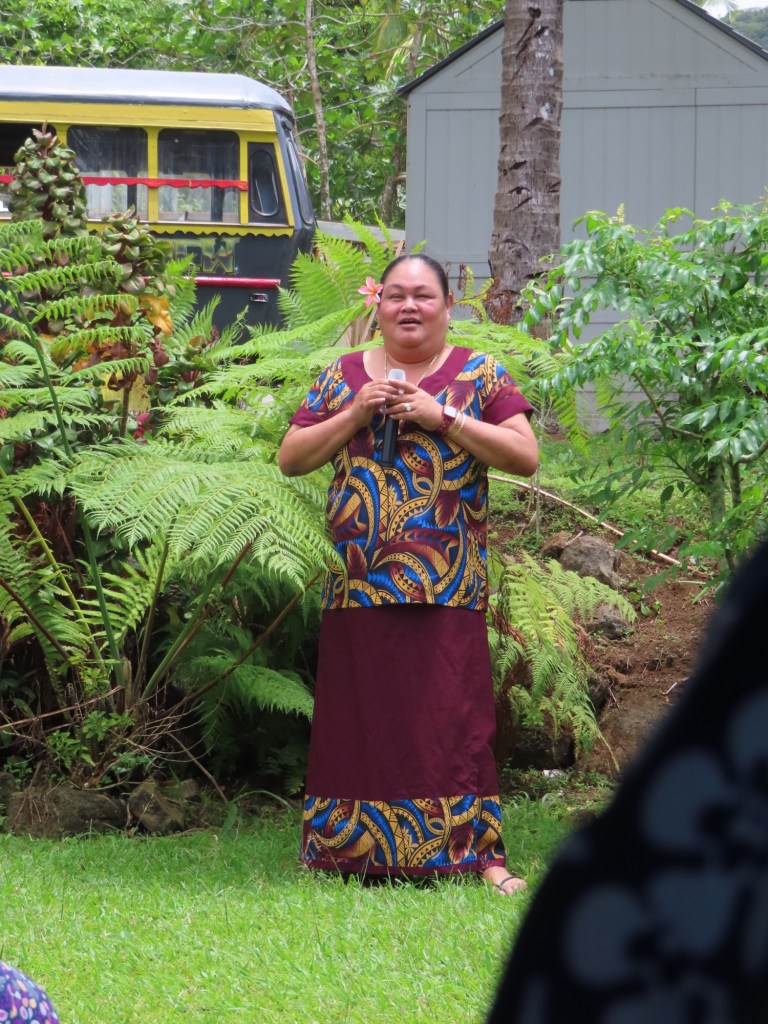
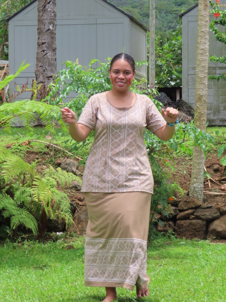
Women are all wearing matching tops with long skirts called a pulatasi. It is worn for special occasions. It is a sign of respect. For every day though it’s shorts and tees. The men on the other hand have short skirts and bare chests.
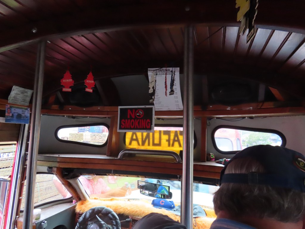
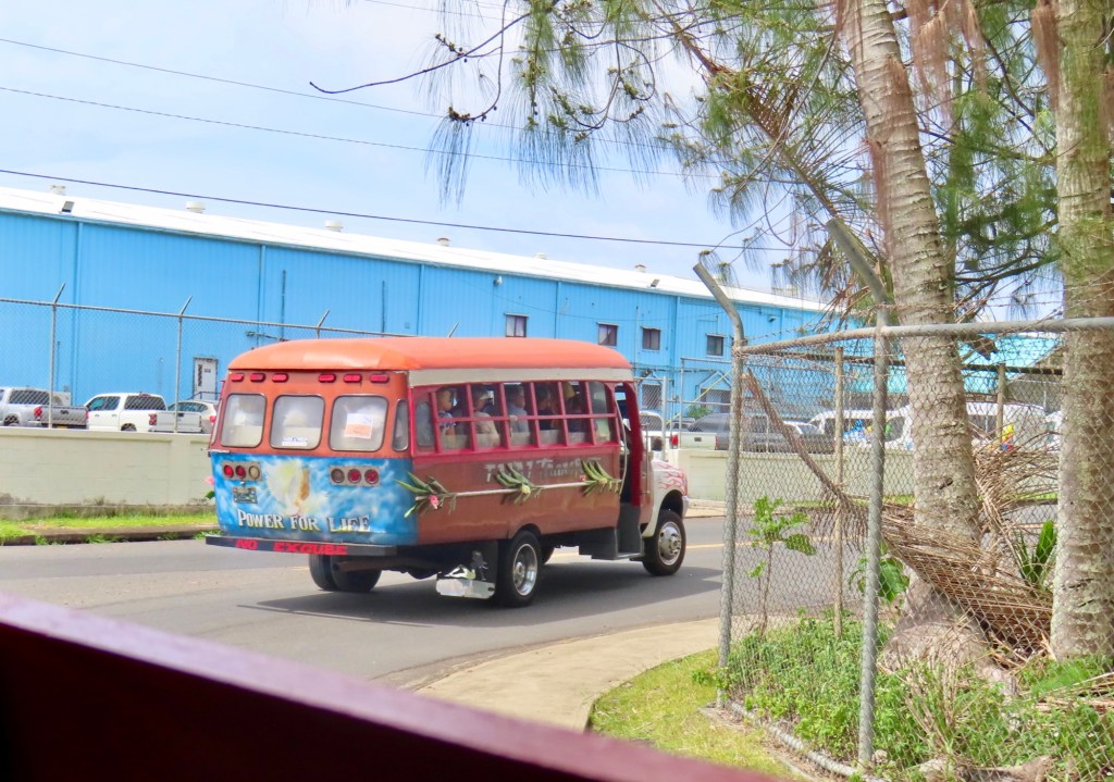
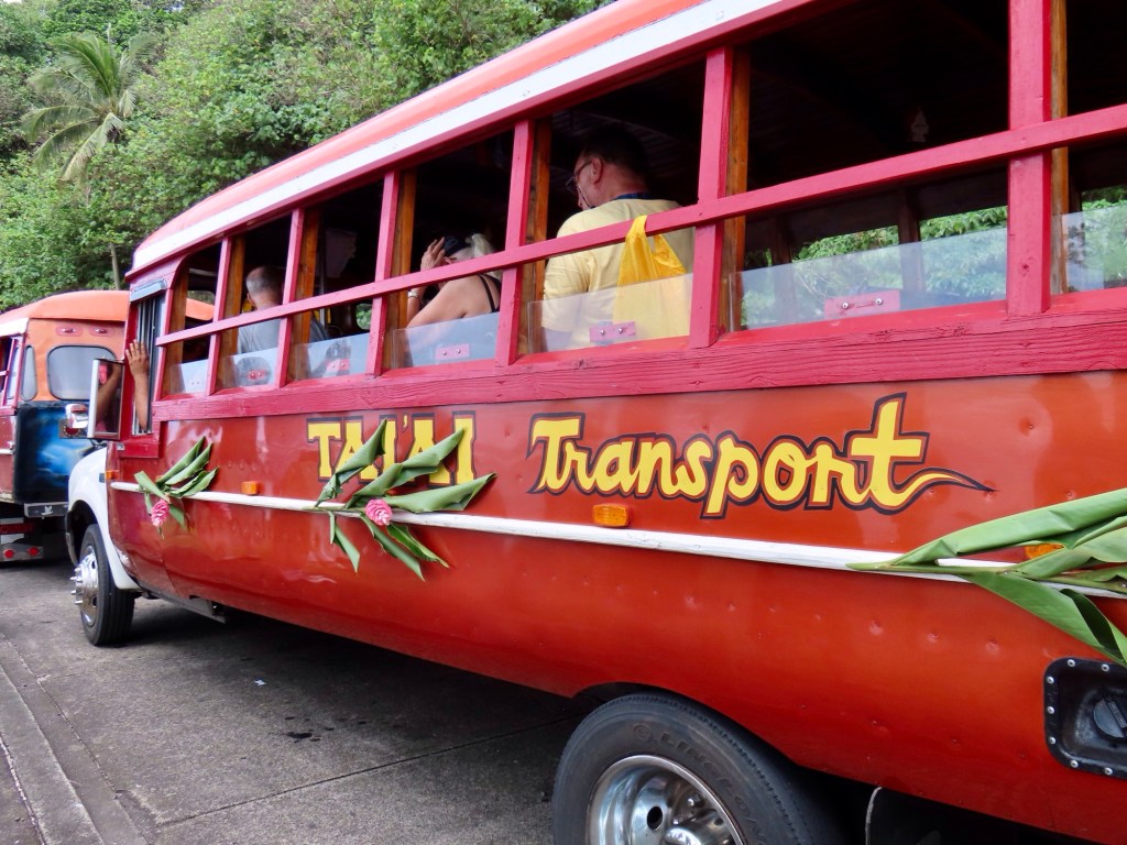
The vehicle we travel in is the most rustic buses I think I have ever ridden in. The benches are wooden. The driver builds the bus made from wood of poumuli. Teuila flower is national flower….from the ginger family. The buses have them attached to the outside…
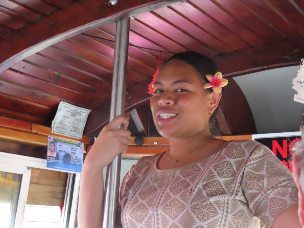
Our guide with the flower on the left
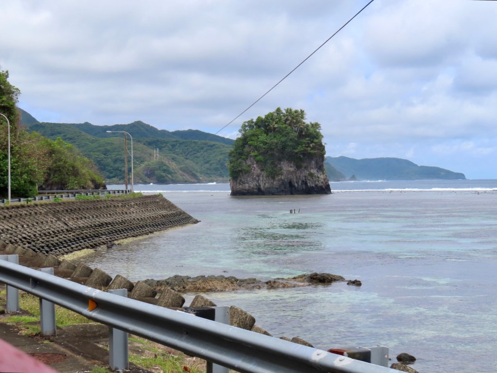
First stop is the “Flower Pots”. It is 2 rocks just off the shore. ….It shows a couple ….fatsu at back and mafutti (a woman closest to road). The story goes that they went swimming but have to be on shore before dark, they were late and so died there. She almost made it. There are curfews still that say you must be out of the water and not outside by 6 pm for evening prayers. “At 9pm the bell will ring signifying the village evening curfew for all students. At 10pm, the bell will ring signifying the village curfew for EVERYONE”.
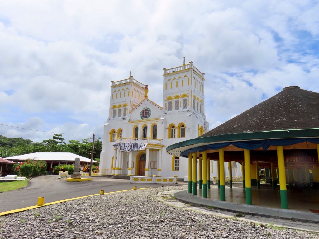
Must always be respectful ….very religious …Christian. There is a church at least every kilometre. They are not particularly beautiful. John Williams brought Christianity to the islands…. Before that they were canniballs. No swimming on Sunday. You must keep the sabbath. White Sunday…. Children wear white 2nd Sunday every October. I can’t remember the rest of the tradition.
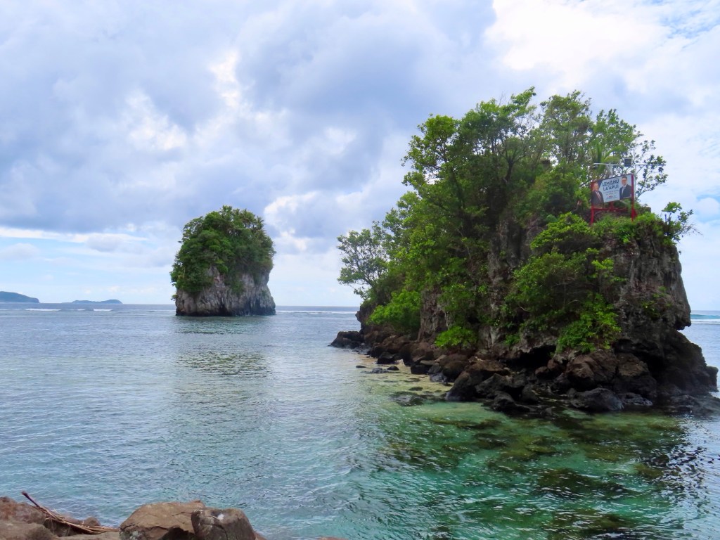
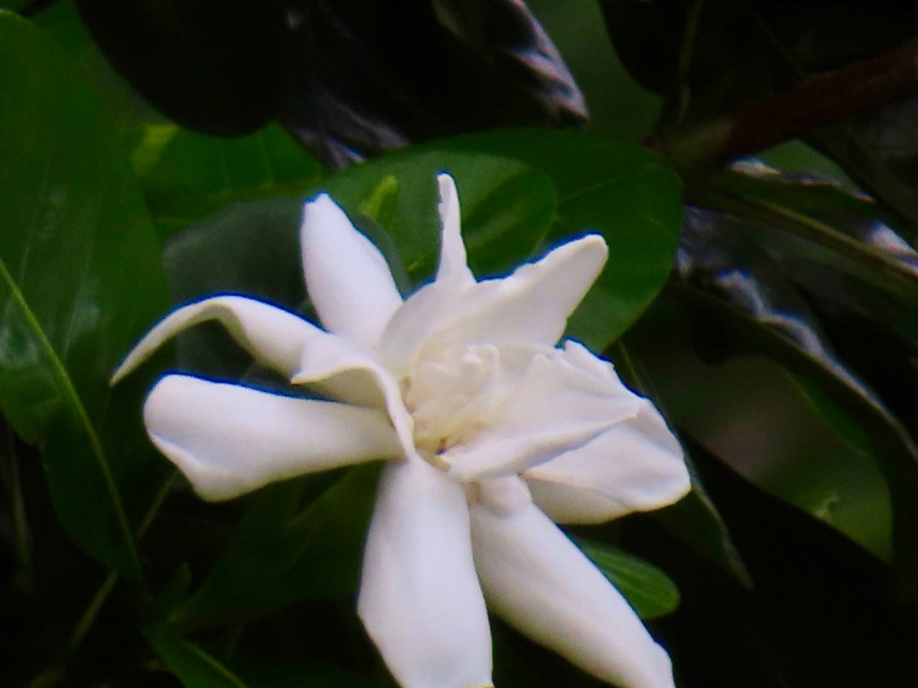
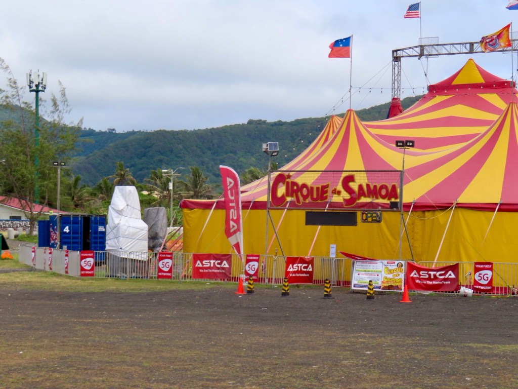
The flower pots from the other directionEverywhere you go in this world someone has to erect a political poster. Am. Samoa is no different.Huge gorgeous scented gardeniaOne of the incredible number of churchesCirque de Samoa….lol!
Samoans are bilingual (Samoan and English). There is 1 movie theatre, 1 hospital , 3 clinics, 1 prison.
2nd stop is at Tafuna….stop where TAOA is where you go for assistance with elderly family.
There are no public cemeteries so they bury their loved ones in the front of their property
Chiefs and high chief are inherited position. Only vote for local government. People are called nationals … cannot vote in American elections.
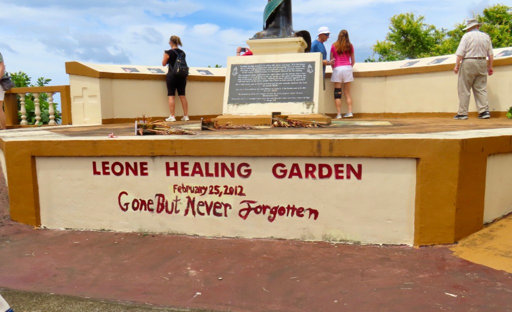
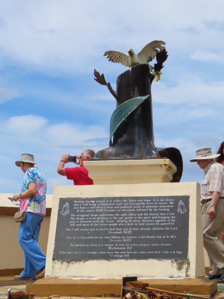
Last tsunami here was in 2009 that killed about 200 in both Samoas. We stopped here in Leone where there is a memorial for those that lost their lives.
Sunday after church they always have a feast… which is cooked by the boys in the traditional way….outside. Other foods on other days are cooked by the women in the house
Public school is free including the food and bus ride.
Coconut good for upset stomach
Third stop….At the village….
Boys cook as long as they’re up to it….lol! First they start with taro leaves then coconut milk, spinach, breadfruit, banana leaves. The more banana leaves the hotter the inside gets.
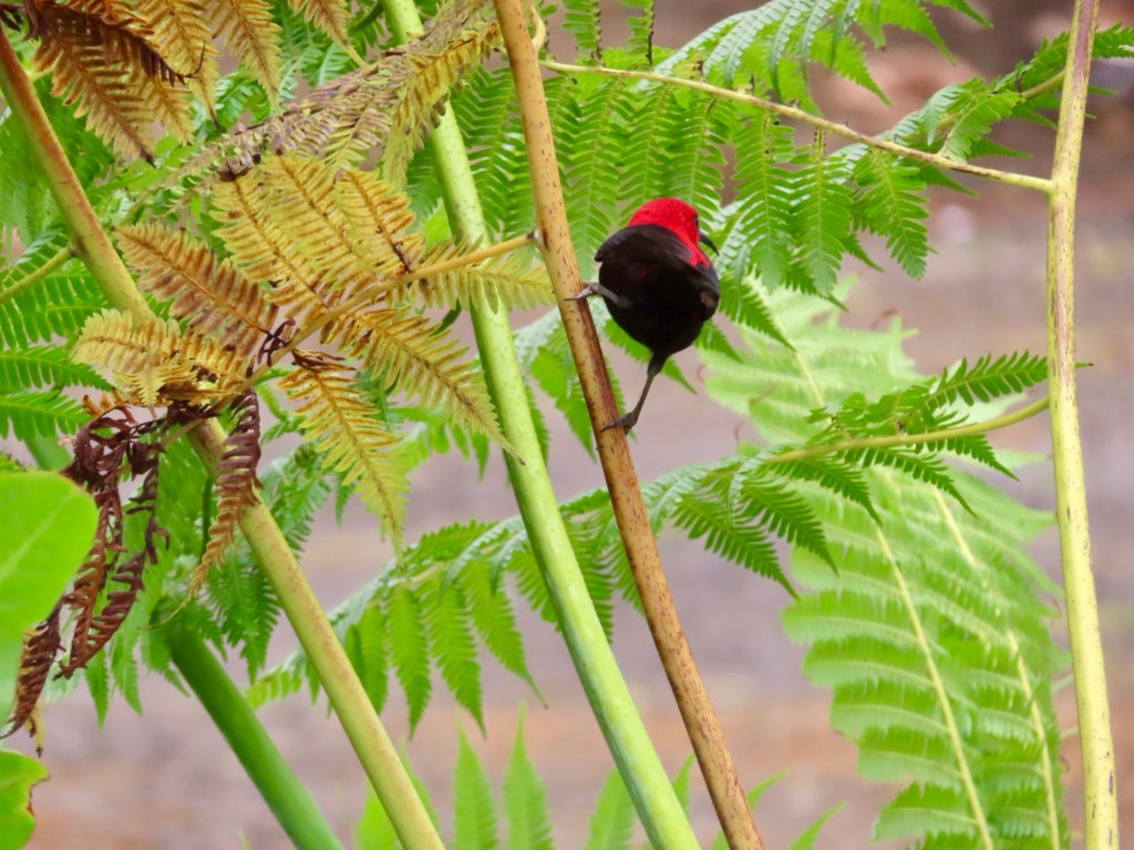
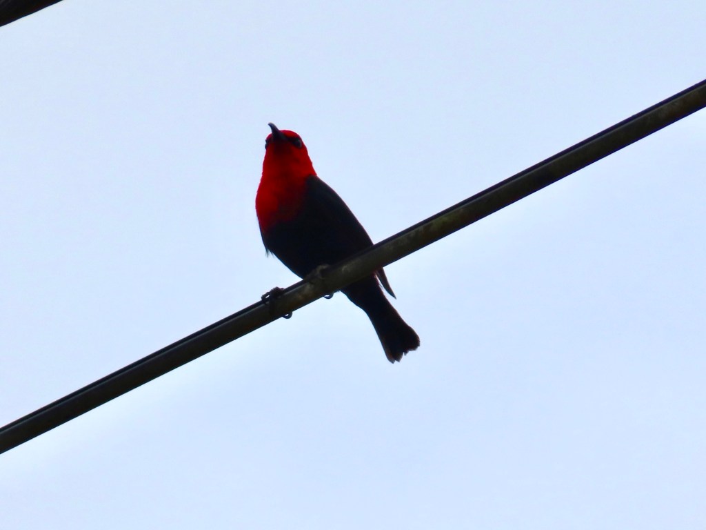
Breaking the coconuts apartThe boys preparing to squeeze the coconut milk out.Some of the food the boys had prepared for us….all roasted:-bananas, breadfruit, spinach in coconut milk, fish and chickenCocoa The momma emceeOur gal in her PulatasiRoasting of cocoa beans“Boy” squeezing out the coconut milkYoung princess dancing for tips for her educationSamoan MyzomelaThe red is soooooo vivid!
In Hawaii women wear a flower on left same as ring finger to signify they are married but the opposite is true here in American Samoa. Here it is worn on the right.
Each family runs a separate tour so this tour, the interest is to this village. All participants are from same family. Another family will run a tour to a different place.
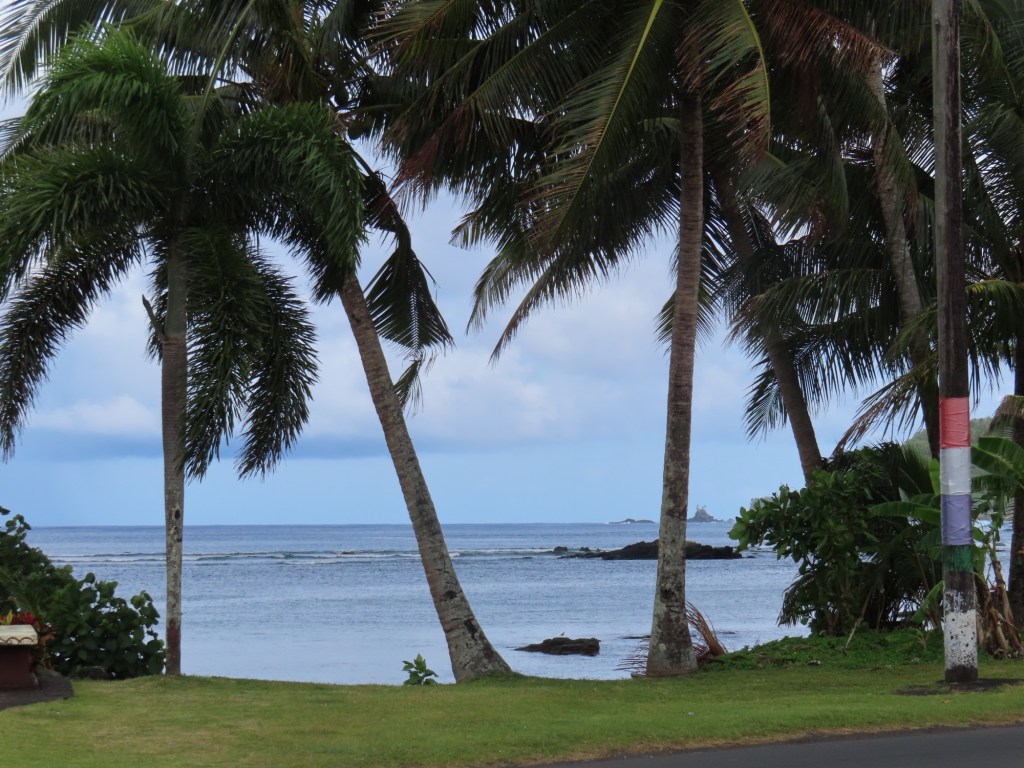
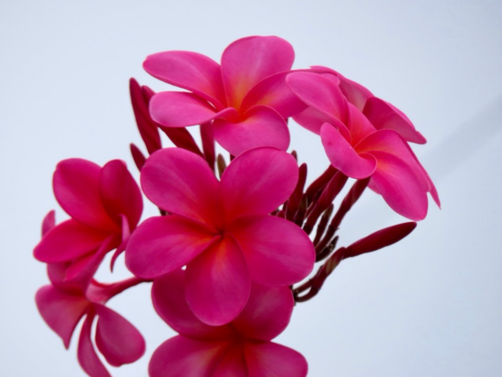
Look at the spray coming off the wavePlumeriaRugged mountains covered in jungleOrchidsHibiscusThese white trees are placed along the coastal road so that they can hang Christmas lights on.…kinda like at home.Samoan policemen
Population of American Samoa is 60,000 plus…. There is only one community college that you can go for 2 years then you have to go mainland US.
This small island is spectacular with its steep mountains covered with lush jungle. Oh my goodness though, jungle, tropics and ocean means heat with extreme humidity…..phew…sweaty! The weatherman had promised rain but that didn’t happen. That might have been a good thing though.
American coastlines on the Pacific are 6640 miles around Alaska, 1293 off the US mainland and 750 in Hawaii …..total of 8683 miles of shoreline.
American interest in the Pacific islands are for fishing rights, economics and military.
Bikini is the only island that the people have been displaced.
American interests include Northern Marianas, Baker Isl., Howland Isl., Johnston island, Kingman Reef, Midway, Palmyra Atoll, Wake Island, all of which are unoccupied. Guam, Saipan, American Samoa are occupied or inhabited.
Inhabited islands although territories, have no vote in congress. They are “organized”…. Have self-government but are “unorganized” & “unincorporated”….confusing as it seems. In 1961, American Samoa had a Washington makeover. There are now more fast food outlets per capita than any other state.
Tuna production is 95% of income of the island….. through StarKist Tuna cannery.
Tutuila Island where Pago Pago is located, is the biggest of 7 islands.
You must be atleast 50% Samoan to own land. Land is not handed down to eldest or first born but the most well behaved. How about that!!!
Beach are to left, shops to the right…..barter for everything.
Museums, MacDonalds….lol
National park is free. Visitor Center has the best wifi.
Apparently there are huge bats with a wingspan of 3 ft.
266 nautical miles to go to Am.Samoa, at noon today. Tides will be an extra metre higher tide brought on with super moon.
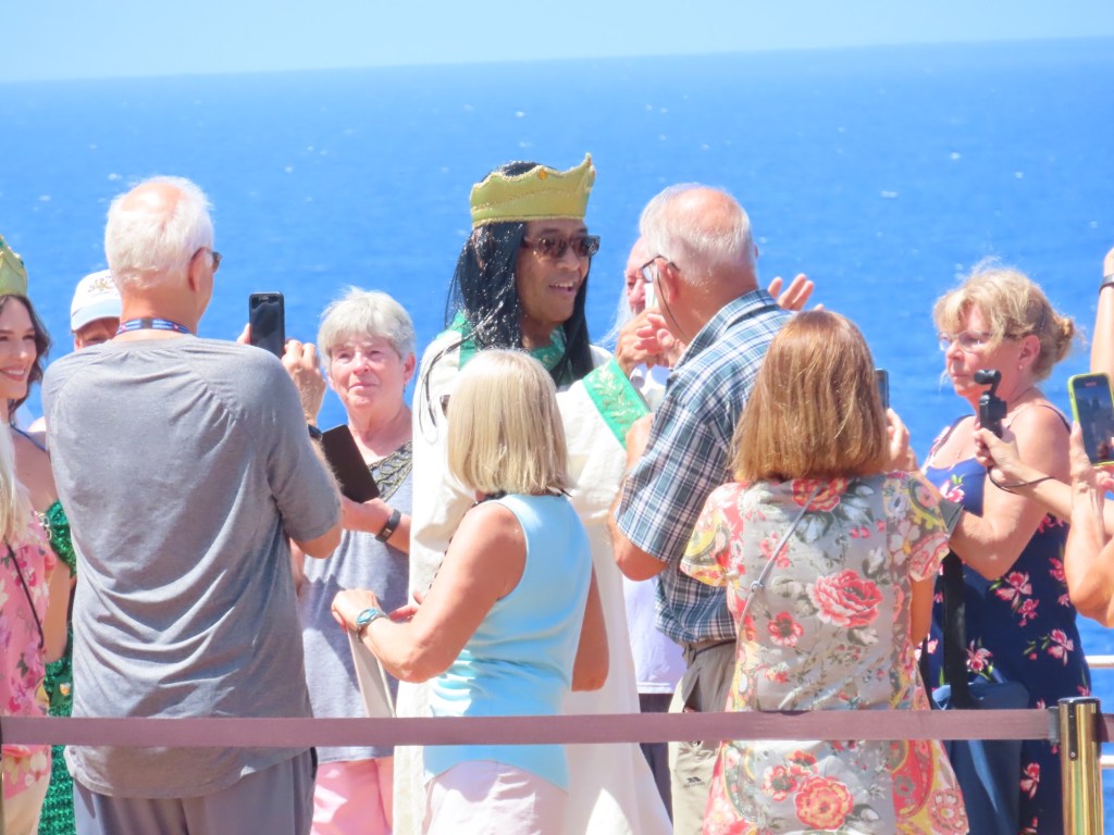
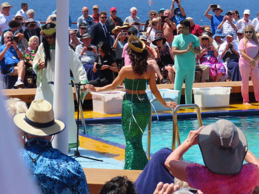
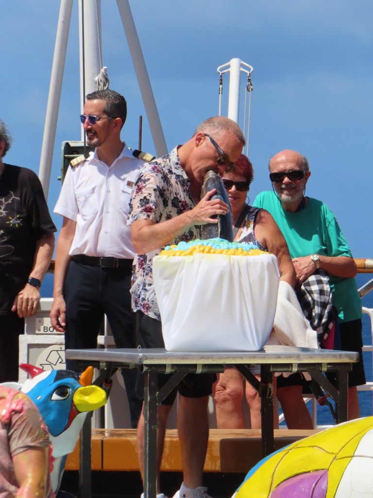
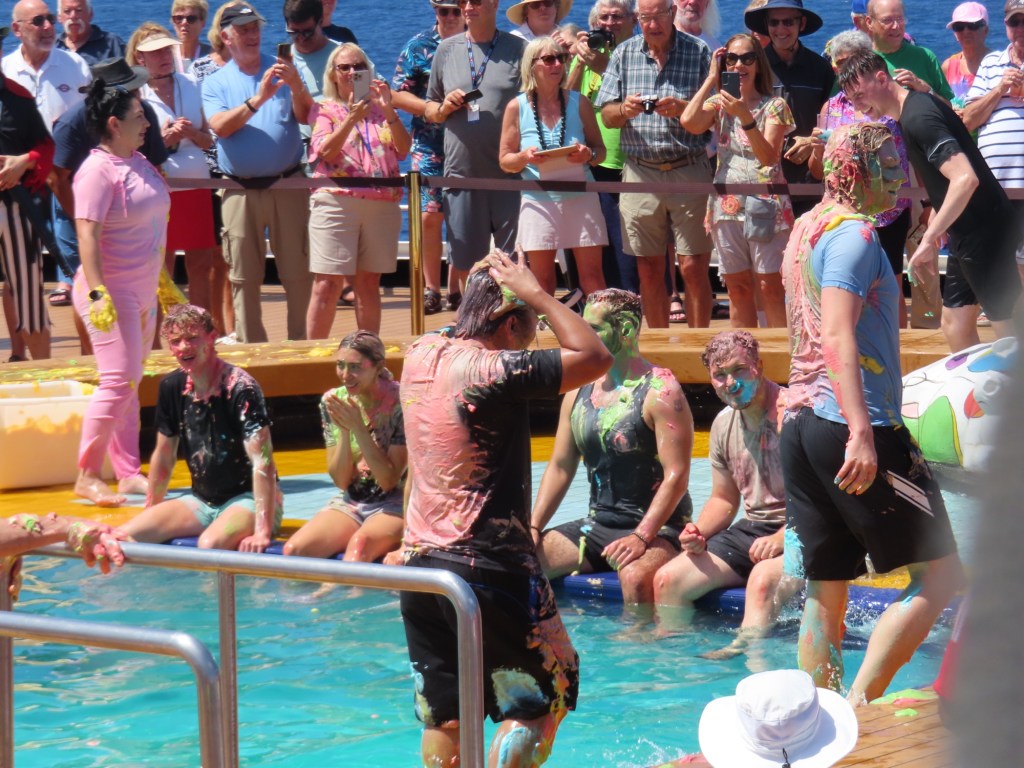
Here are some pics of the ceremony from the other day when we crossed the equator. Shown are pictures of King Neptune and his mermaid queen, the kissing of the fish and the slathering of the polliwogs. Lots of people present!
King NeptuneMermaid QueenPiratesKissing the fishCovered in slimeThe captain and 2 other crew!
Weird……At about 6:30 am this morning, the forward half of the ship is in the southern hemisphere,the aft half is the northern hemisphere sphere and…..the date in the starboard or right side….west side, the date is October 16 and the port, left side on the east side it is Oct 15. We can now be referred to as “Golden Shellbacks”. Not many can call themselves that.
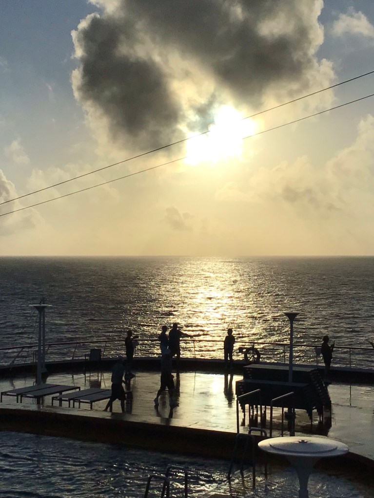
Next day it is still October 16th(day 22) but maybe it’s the 17th. The ship is not flipping the dates as we crisscross the ocean. It can be too confusing otherwise. Anyway, it is 7 am and the temp is already 27 C. as we sip our coffee on the aft pool deck. It’s a tough life…lol!
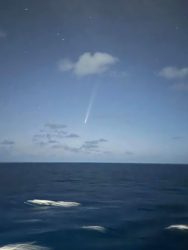
Comet streaking through sky last night (borrowed photo)
Another Tech talk for travellers…..Planning ahead
TripIt or Trip-case (faster)
Create an account or you can join using Google. It reads your emails so info is put into upcoming trips.
You can add other plans by forwarding confirmation numbers like hotels…..which also has “Location safety”. It can tell you what restaurants etc are nearby. Then you can share your plans with friends or family. You can also select who you wish to share or not, your plans with.
Packpoint
Add new trip or useTripIt ……Activities. Begin packing…check things off or can add separately. You can edit numbers of items. Edit entire trips in top right
TravelSpend
create trip. Budget for your trips. Also home currency…to convert….exchange rate on expenses. Statistics, etc. Plus sign….Sort of spreadsheet….also split expenses using percentages with others….your choice
App in the Air……unfortunately, after downloading this app, we find out that it will no longer function later this month. Too bad! Seemed like a good one.
Just enter you booking reference…Easy to readily available …flight number, departure times and arrival at local time. It needs cell service….. it gives the weather….gives times thru each area in airport (passport, baggage, customs). Airport maps …show also where you are
WheelMap
How accessible everything is for restaurants, airport or wherever.
Flush
Finding the nearest toilet. If a restaurant offers seating with food in England, they have to provide toilets…..it may require a key or code.
Gary doesn’t want me to share the link to his video on the internet but he said to show a couple of his “stills”. Anyone that wishes to see the video after I get home I can show it…..maybe on my TV???
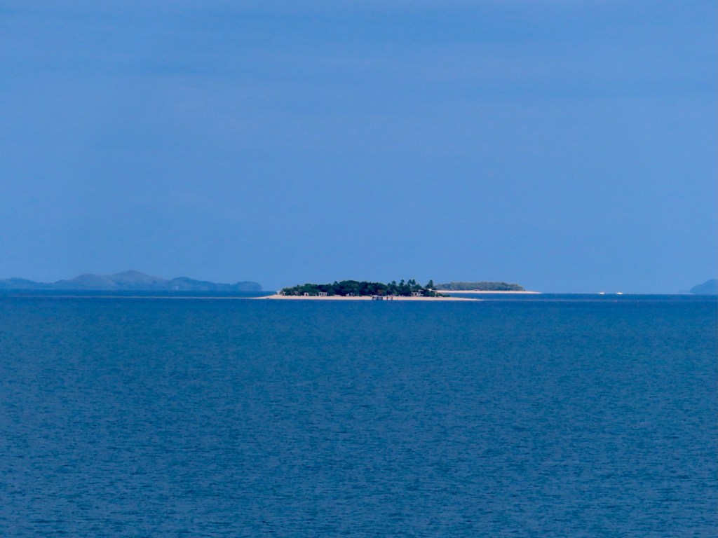
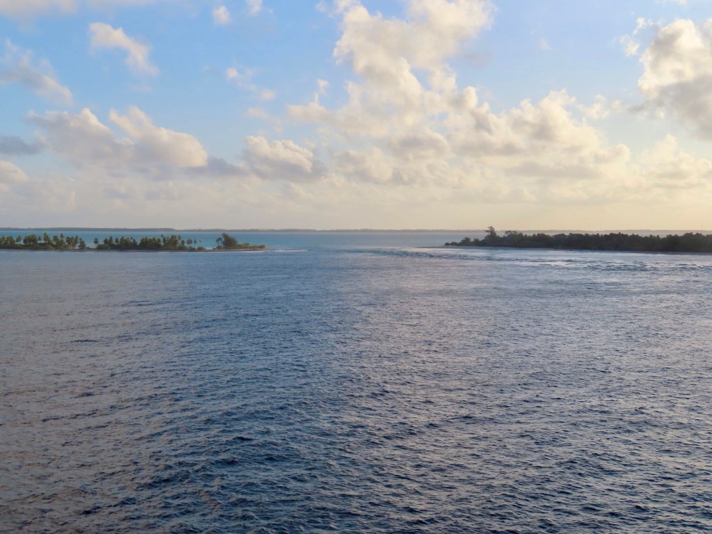
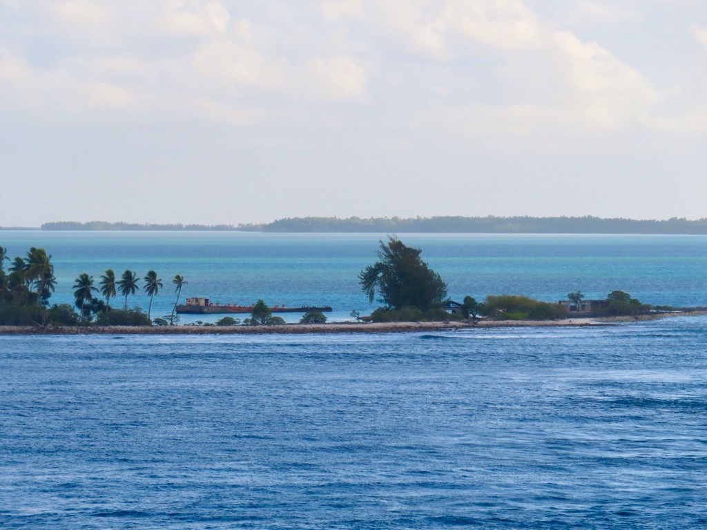
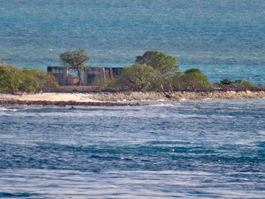
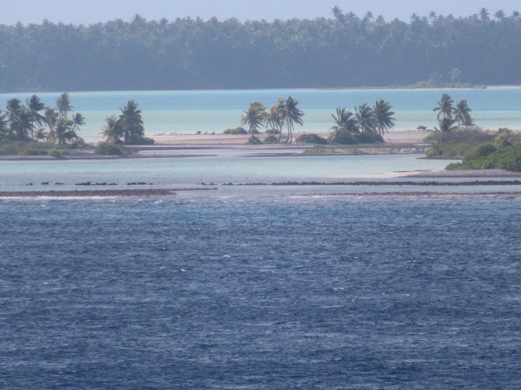
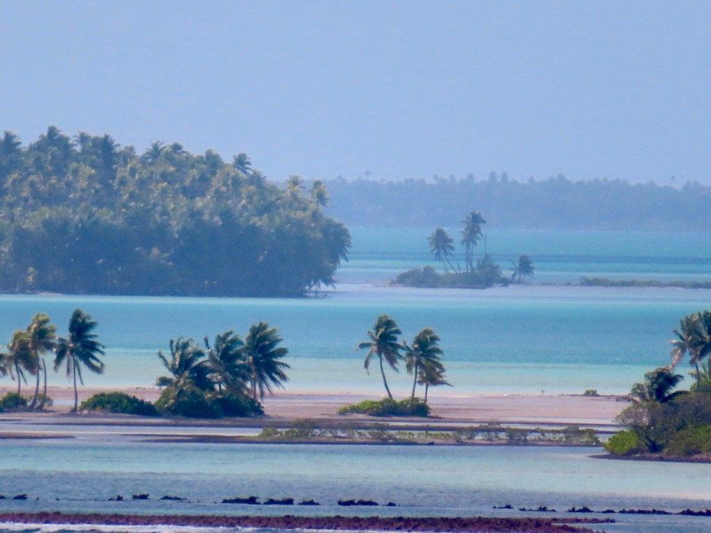
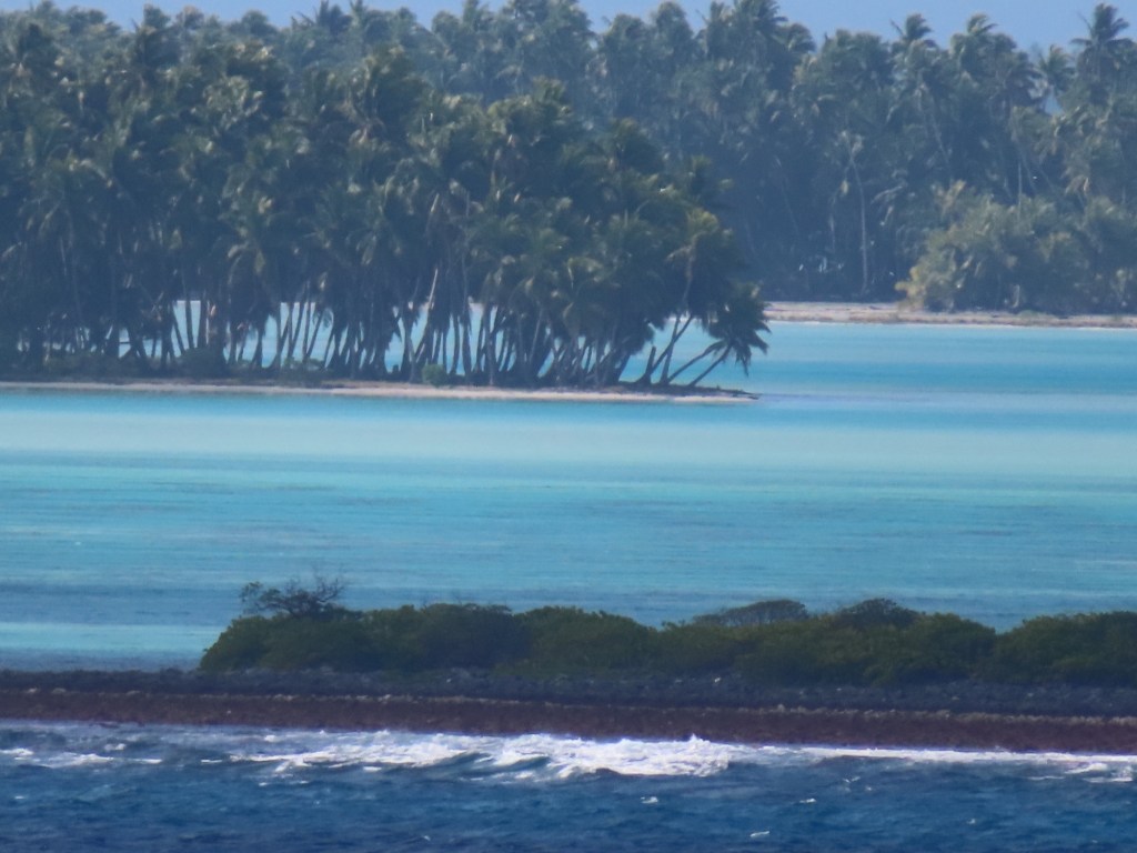
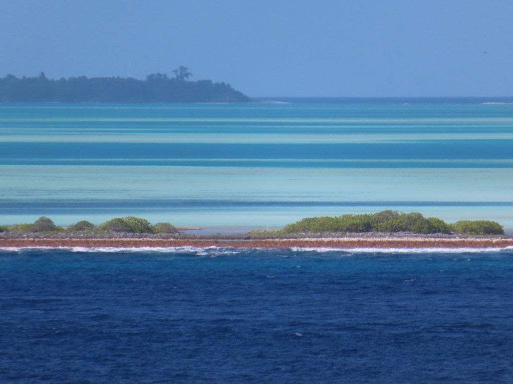
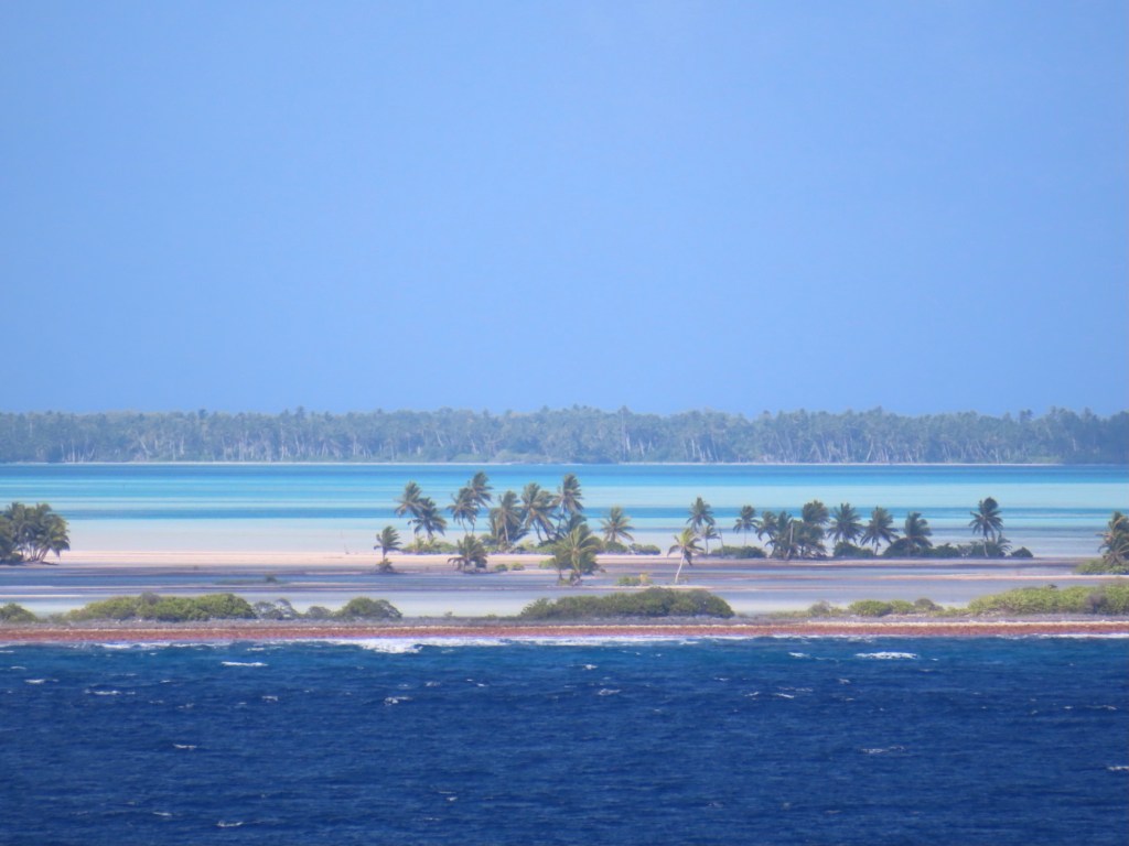
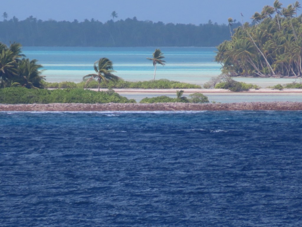
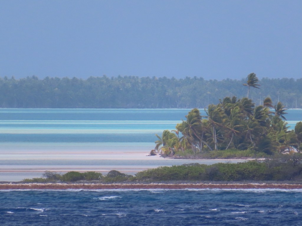
If you were born here your life expectancy is 67 years but you will outlive this island because it will disappear within 50 years because of rising sea levels. The highest point is only 9 ft above sea level. Most of it is already underwater. It will be the Atlantis of the future. The homes are built on stilts and apparently have no walls.
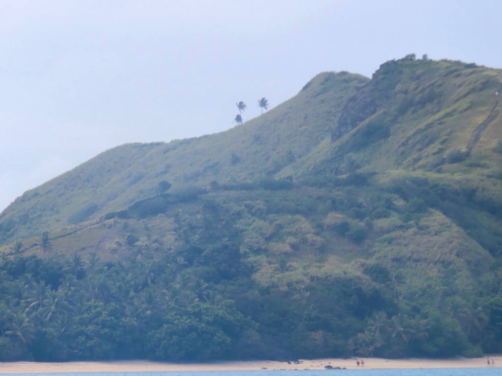
Pacific is largest ocean in the world. Kiribati nation covers one of the largest geographical area in the world….1 million square miles but is comprised of only 33 island … this one we are stopping at is 33 sq kilometres or 13 square miles.
Kiribati straddles all 4 hemispheres. It was also known as the Gilbert Islands.
British were there from 1888…. Paid out a 10 million AUS $$$ payment when they left
Tabuaeran atoll is also the name for Fanning Island
Their source of income comes from coconuts, cobra fibre, seaweed farms as well phosphate mining.
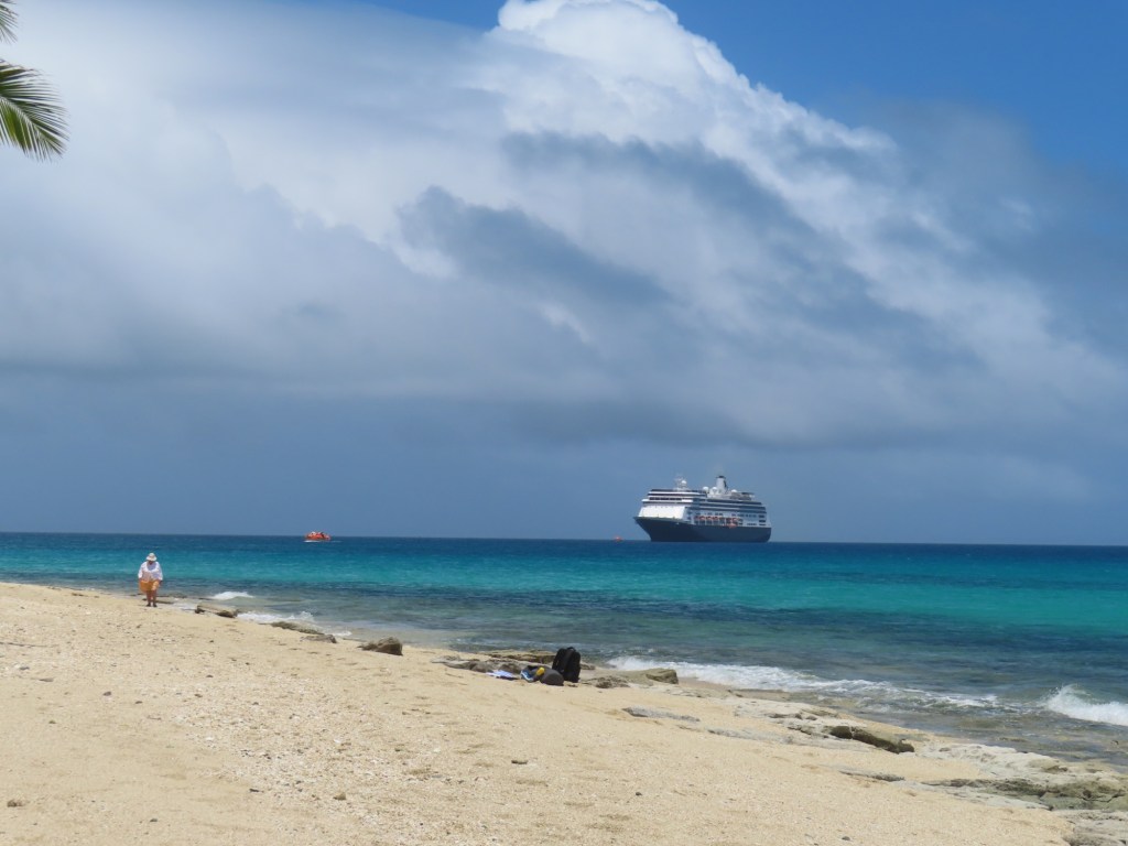
At only 13 sq miles, it is not a usual international cruise ship stop. This year they will only have 2 stopping here ….both HAL. Next year will be 3 times. It used to be used by NCL because it flew the international flag, so it had to abide by the Jones Act and had to go to a foreign port before returning to the Hawaiians Islands or the US mainland. While using it as a stop they built a number of facilities. After Covid they flew the US lag and don’t have to stop here anymore.
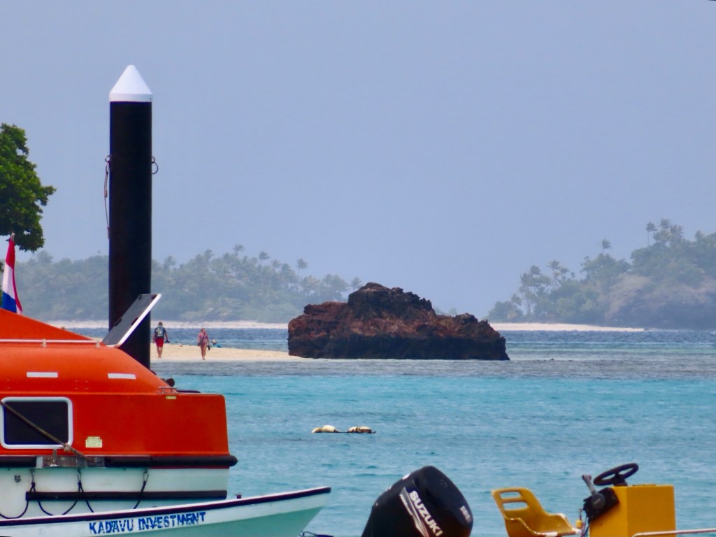
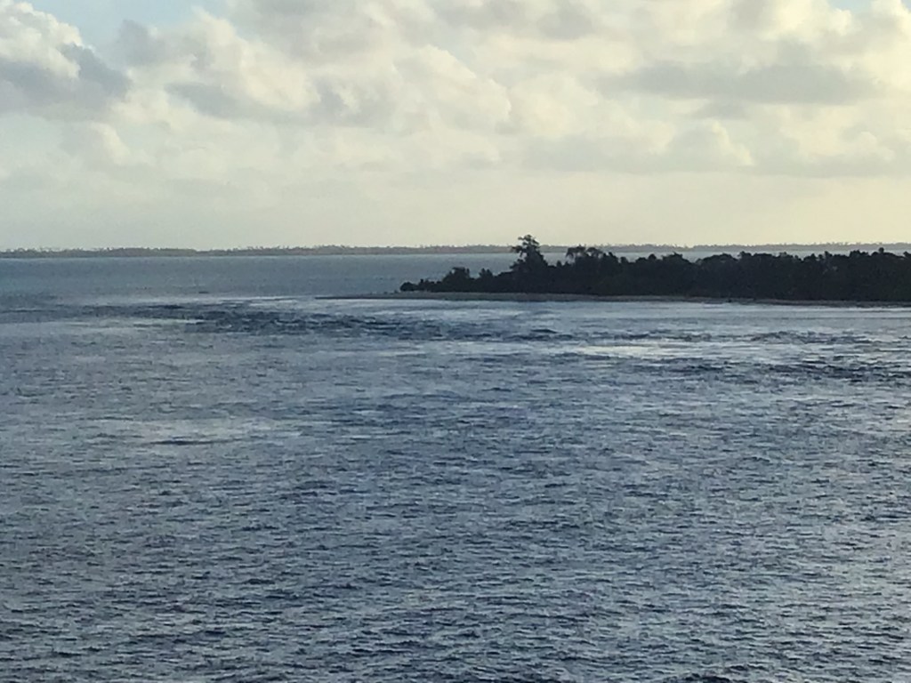
Day 20-Monday Oct 14/24 or Tuesday Oct 15/24 for the people of Fanning because we have crossed the International Dateline. We are not changing ours for today’s crossover.
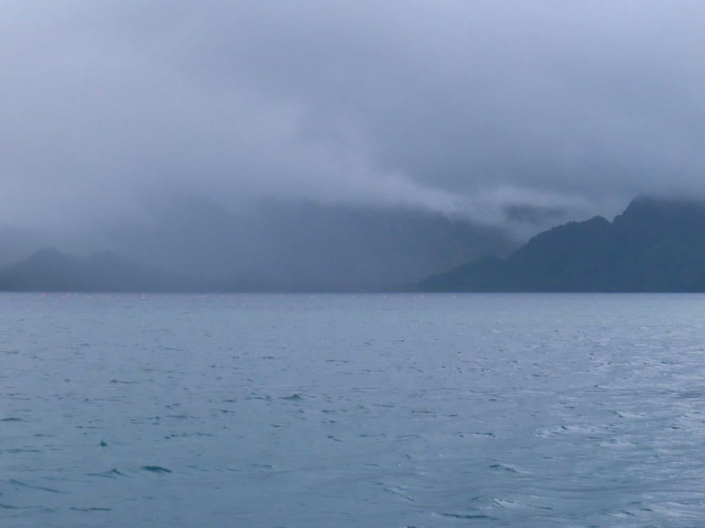
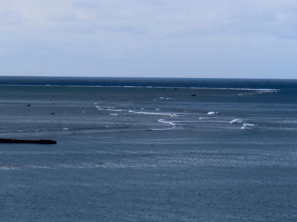
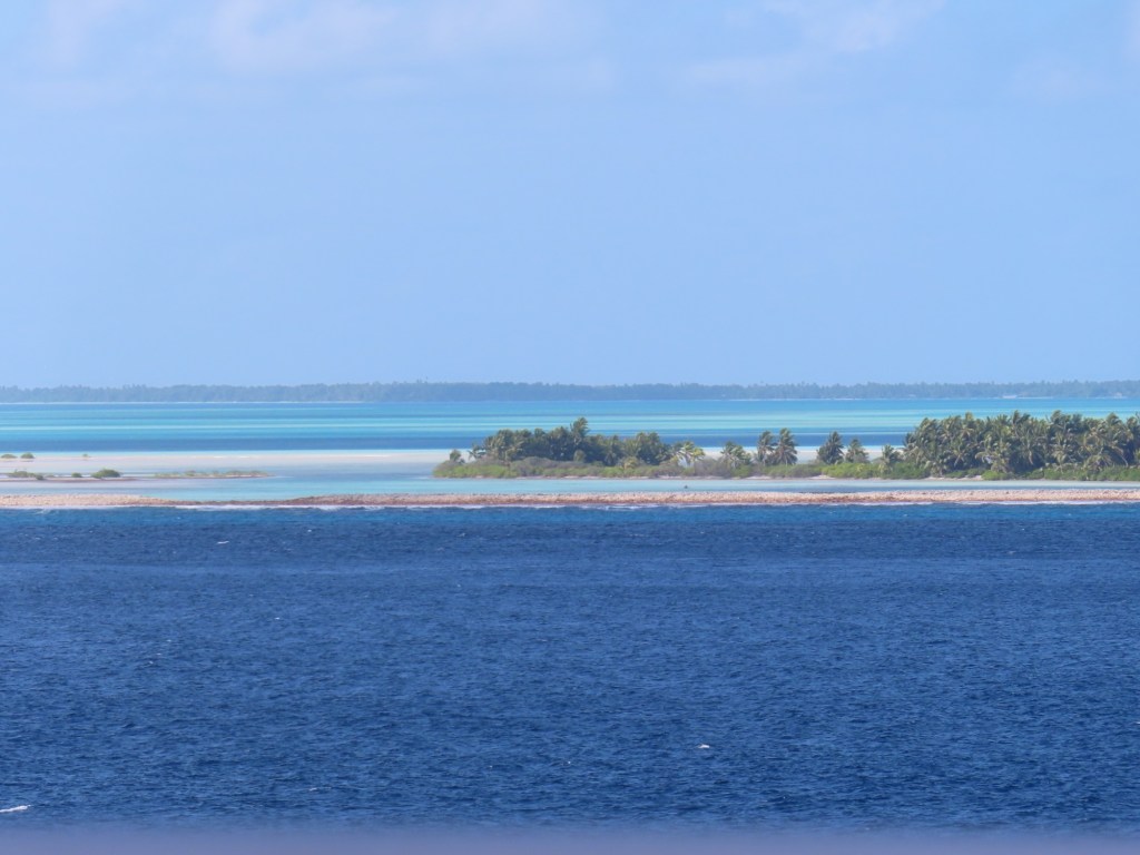
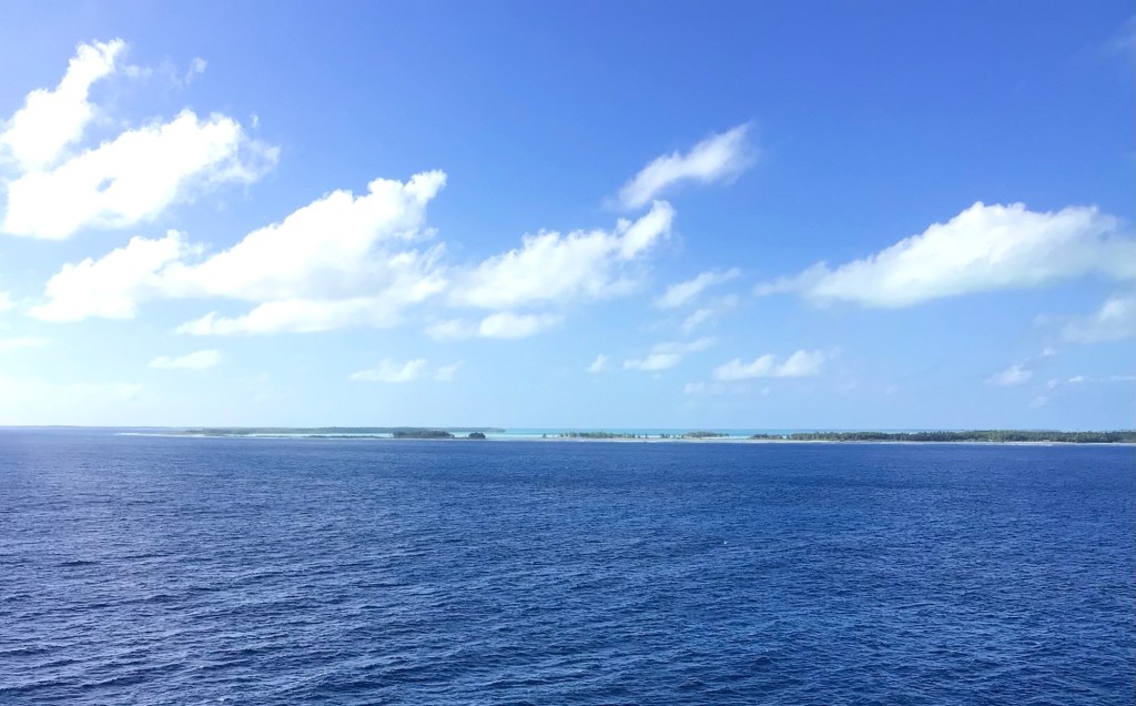
This morning as we approach Fanning Island with everyone so looking forward to setting foot on this beautiful atoll, the captain comes on the intercom to tell us that we will not be going ashore. The winds are coming from the south instead of the south-east causing a 3-4 knot plus swell with standing waves……a washing machine effect, at the entrance to the lagoon. The ship can’t deploy the platform that the tenders are launched from (they are only one foot out of the water). Because of those swells etc. preventing us from going ashore, we are just going to cruise around but keeping a fair distance from shore. There have been no charts made since 1898. So……the captain is not taking a chance by getting any closer.
Only a population of just over 2000 with only 2 vehicles with no paved roads on the island. In 1798 it was discovered by Europeans. Phosphate is mined, fishing, harvesting of coc meat, cobra
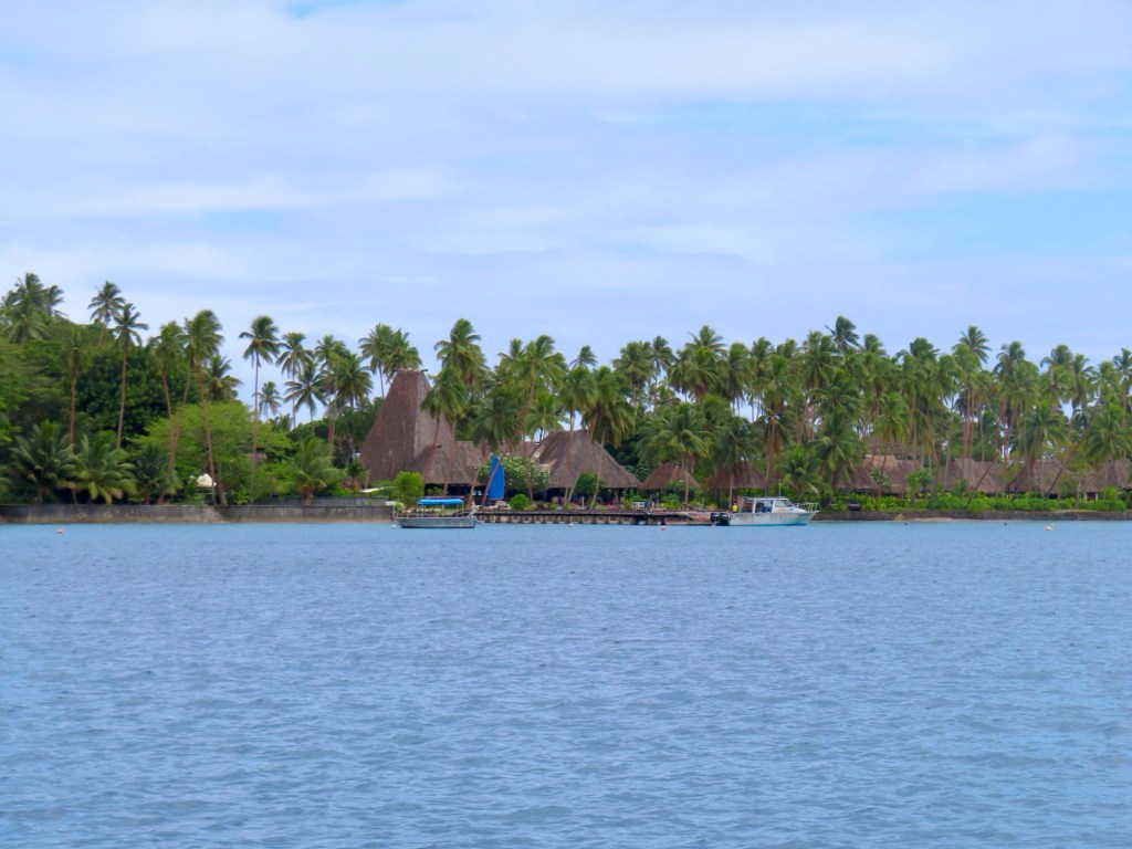
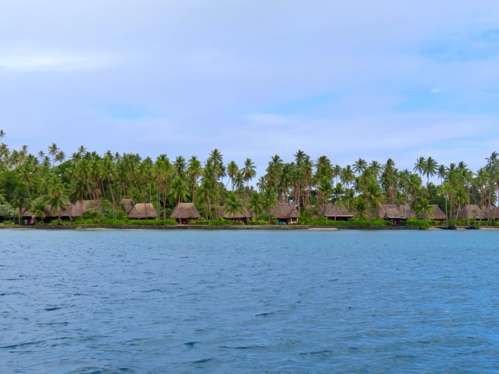
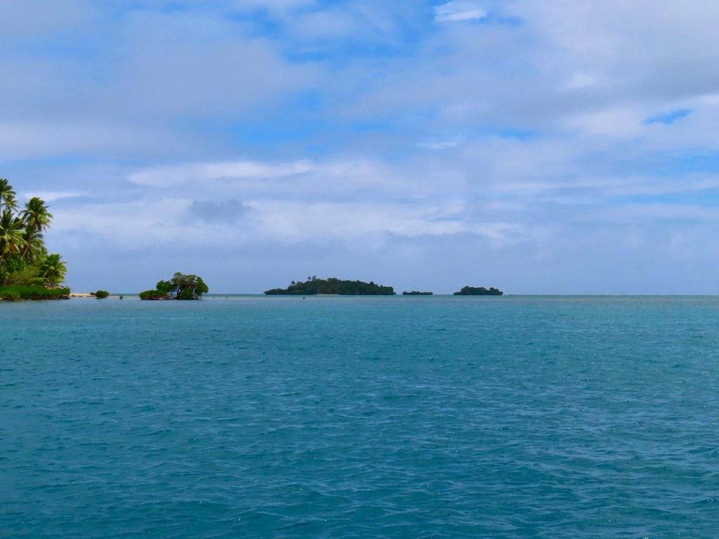
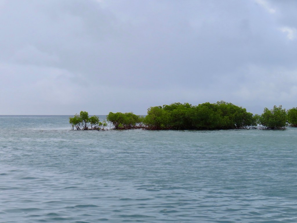
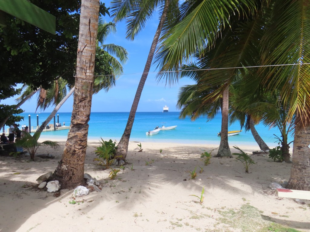
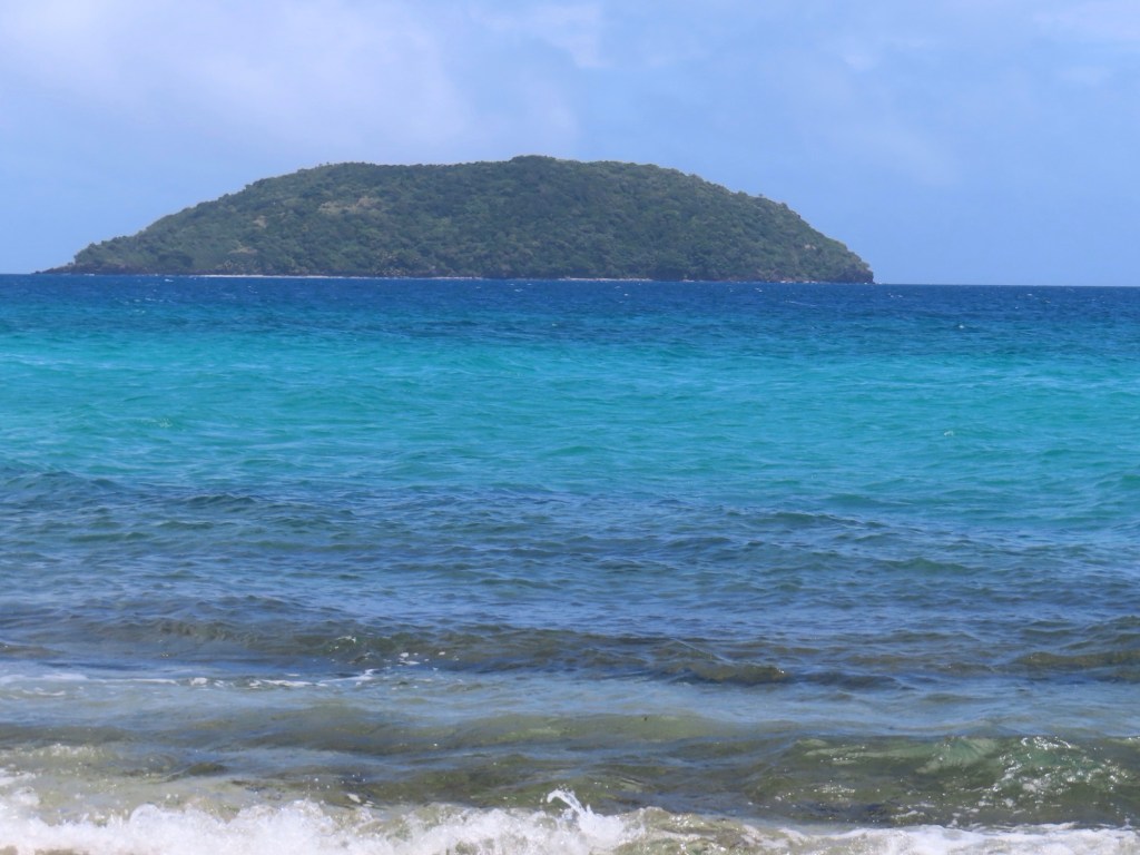
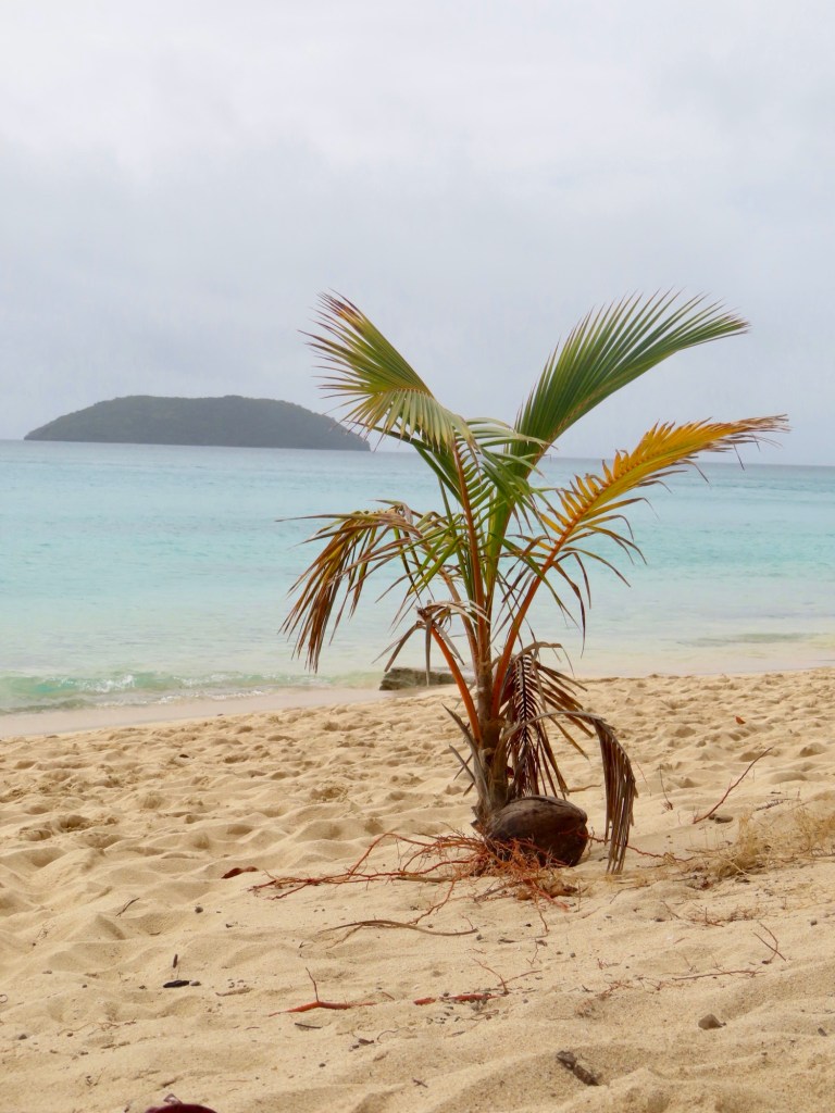
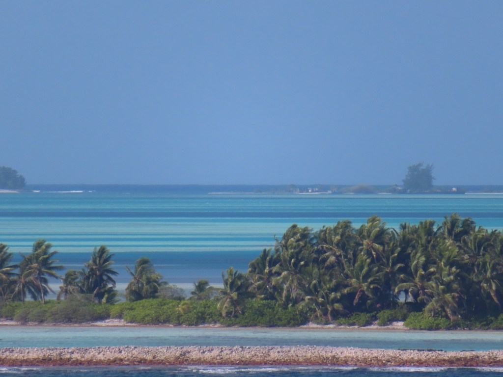
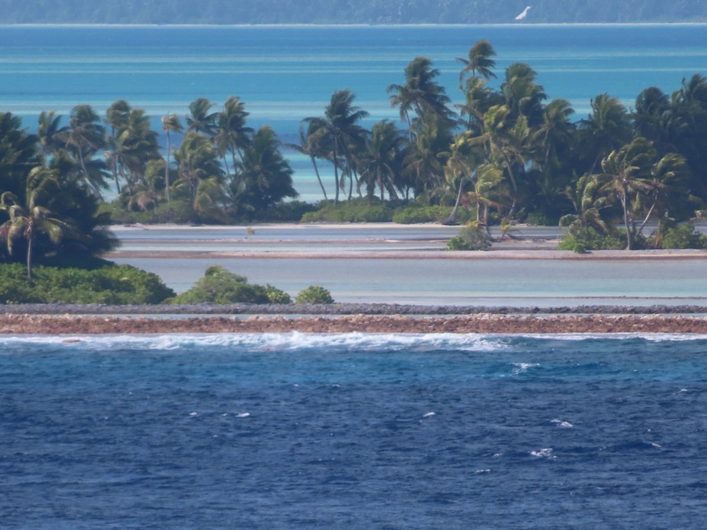
Below are a whole lot of pictures of this amazing atoll in the middle of nowhere. The colours of the water in the inside of the atoll are spectacular.
Looks like a coral beachThe cause of us not going ashoreJust a bit breezyFrigate bird
The national bird is the frigate bird. It can stay afloat for weeks at a time.